Plizio Visual Lab
Fyrish
ℹ️Practical info — Fyrish
▾
🌤 Weather — 5 days
📍 Nearby
Sights nearby
💡 Tips
- Use the local minibuses for cheap and authentic travel along the coast.
- The climate is tropical; pack light clothing, but also bring rain gear.
- Strike up a conversation with the locals; the community is known for its friendliness.
- Try snacks from street vendors, but make sure they are freshly prepared.
🍽 Food
Available in the small roadside eateries along the main road.
Try seasonal fruit at the stalls in the community market.
Visit the food stalls near the coast for freshly caught fish.
🛍 Shopping · 🧘 Quiet spots
Buy local vegetables directly from the villagers' stalls.
Purchase small crafts directly from the community's artisans.
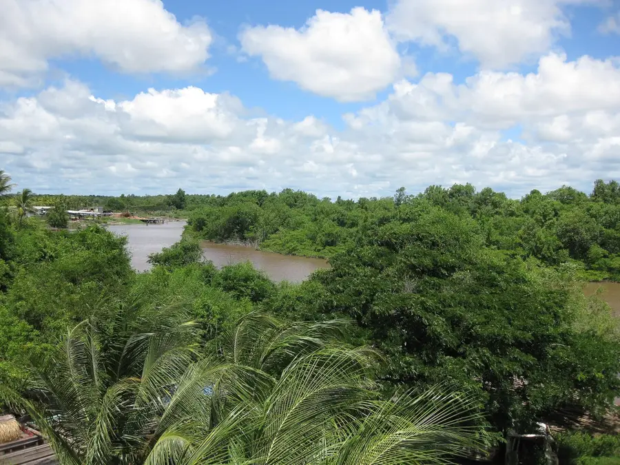
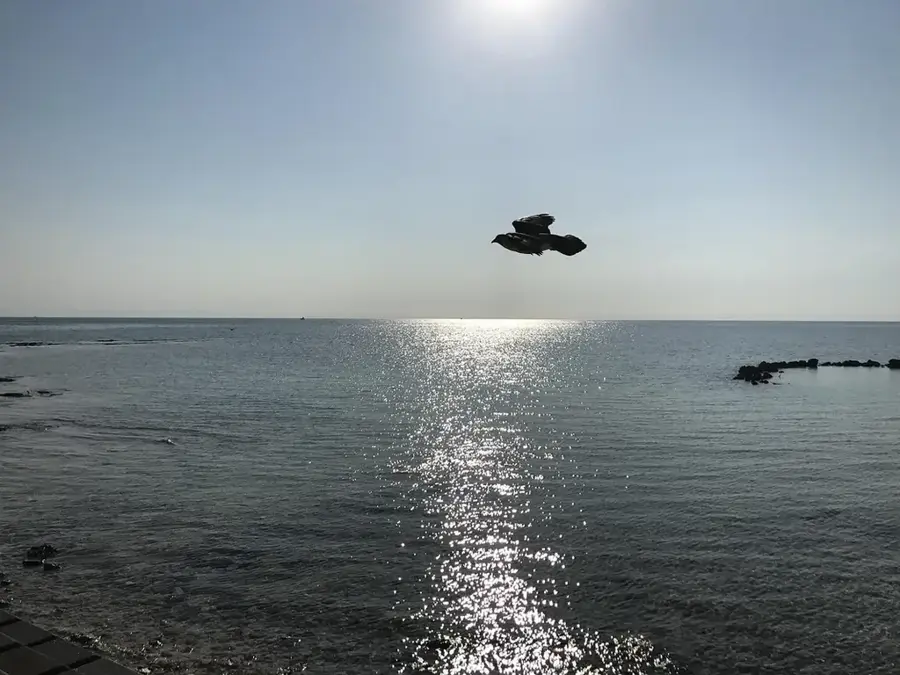
Enjoy the peaceful view of the Atlantic Ocean.
Take a quiet walk along the agricultural fields.
Water temperature…
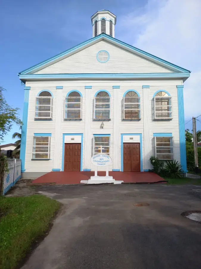
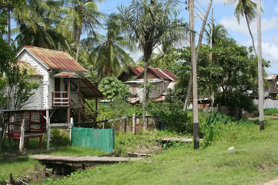
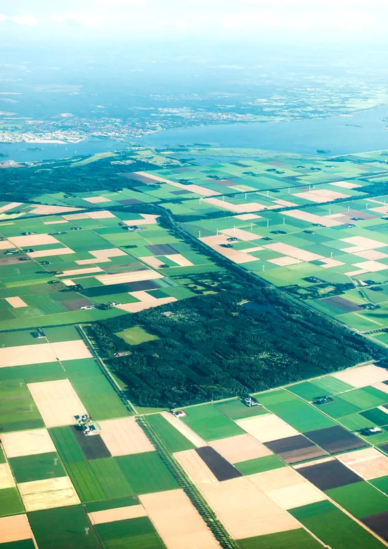
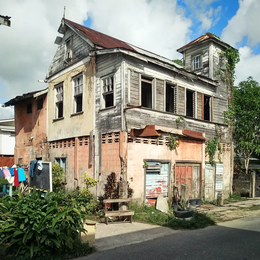
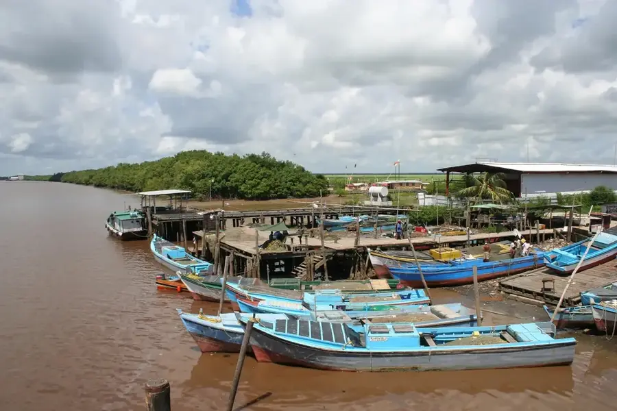
Fyrish is a village in the East Berbice-Corentyne region (Region 6) of Guyana, located on the Corentyne Coast between the towns of Rose Hall and Port Mourant. The settlement has a rich history dating back to the post-emancipation period when it was founded by formerly enslaved people as part of the Village Movement. Fyrish is known for its strong community spirit and its agricultural base, where the cultivation of cash crops and livestock farming play significant roles. The village is situated in close proximity to the region's vast sugar cane fields, and many residents are employed in the sugar industry. Its geography is flat and coastal, featuring fertile soil drained by a system of trenches. Culturally, Fyrish is noted for its Afro-Guyanese heritage, which remains bustling in local customs and celebrations. Despite its small size, the village contributes to the economic dynamics of the Corentyne Coast and serves as a quiet residential area within a busy agricultural region.
- Location: Guyana
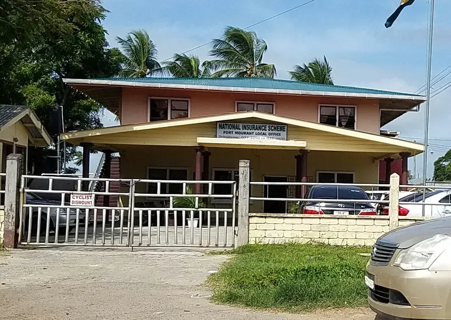
- Nearby: Port Mourant (6 km)
- Population: ~4.532 (2026)
Best time to visit & climate
The most pleasant time to visit is Mar, Sep, Oct.
| Jan | Feb | Mar | Apr | May | Jun | Jul | Aug | Sep | Oct | Nov | Dec | |
|---|---|---|---|---|---|---|---|---|---|---|---|---|
| Avg °C | 26 | 26 | 26 | 27 | 26 | 26 | 26 | 26 | 27 | 28 | 28 | 27 |
| Rain mm | 138 | 111 | 103 | 149 | 266 | 235 | 228 | 147 | 66 | 65 | 93 | 183 |
Geography
Facts
- Part of the historical Village Movement after 1838.
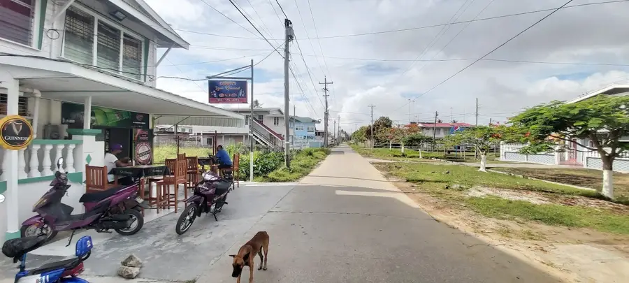
- Located on the main Corentyne Public Road.
- Situated between Rose Hall and Port Mourant.
- Economically tied to the sugar industry.
- Known for fertile farmland and livestock rearing.
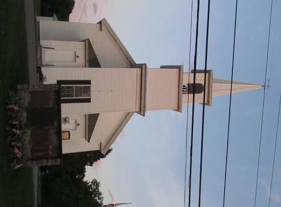
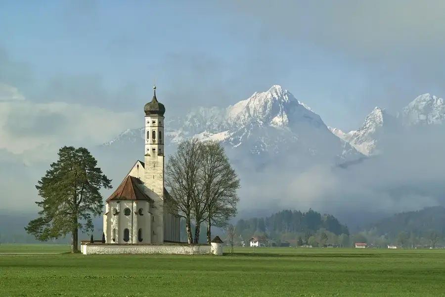
- Houses several Christian churches and schools.
Explore nearby
Notable places around
Route planner — Car & Motorhome
Where do you start? We build the route here, with stops and country notes along the way.
© OpenStreetMap contributors · OpenRouteService
Sights in the town Fyrish (1)
Frequently asked questions
Where is Fyrish located?
What is the main occupation?
Is it a large village?
Are there schools in Fyrish?
How is the transport connection?
Fyrish: where is it located?
Fyrish: when is the best time to visit?
Fyrish: why is it worth visiting?

Nearby cities


History & landmarks
Nature
More places