Plizio Visual Lab
Black Bush Polder
ℹ️Practical info — Black Bush Polder
▾
🌤 Weather — 5 days
📍 Nearby
Sights nearby
💡 Tips
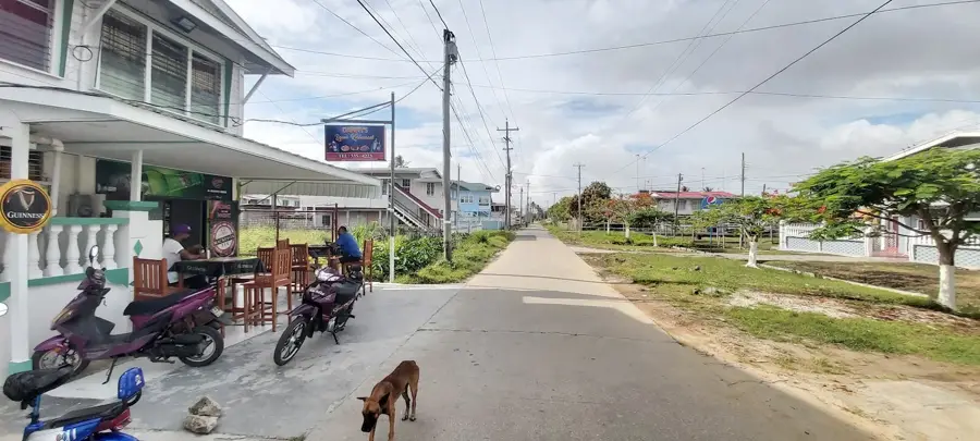
- The area consists of long agricultural roads, so renting a reliable vehicle is the best way to get around.
- Polders are heavily agricultural; watch out for tractors and livestock wandering on the roads.
- Visiting the area during daylight hours is highly recommended as street lighting is minimal.
- Be polite and say hello; the local community is tight-knit and values traditional hospitality.
🍽 Food
Try authentic chicken or duck curry served with dhal puri or rice at small village rum shops or local eateries.
Stop by the roadside stalls to buy fresh watermelons, mangoes, and bananas directly from the farmers.
Look for local spots serving fried or curried fish sourced straight from the surrounding waterways.
🛍 Shopping · 🧘 Quiet spots
Get up early to visit the local market areas where fresh vegetables and farm produce are sold.
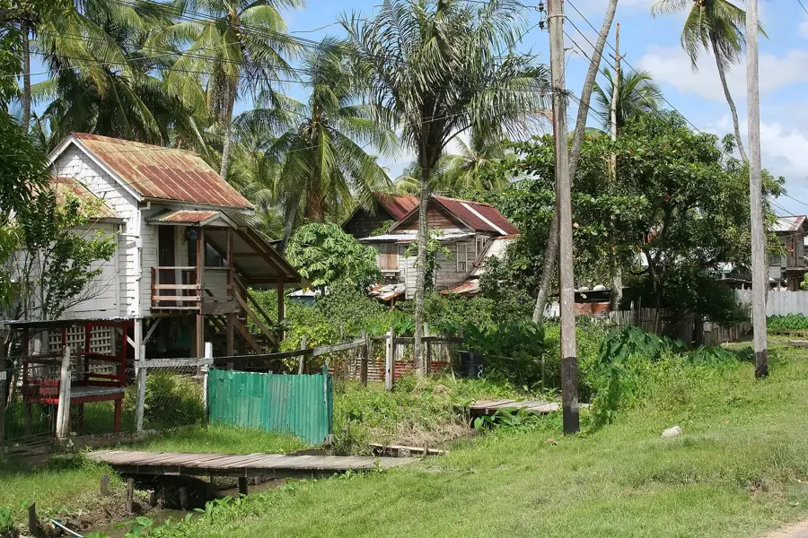
Pick up local snacks and basic provisions from the small wooden shops scattered through the settlements.
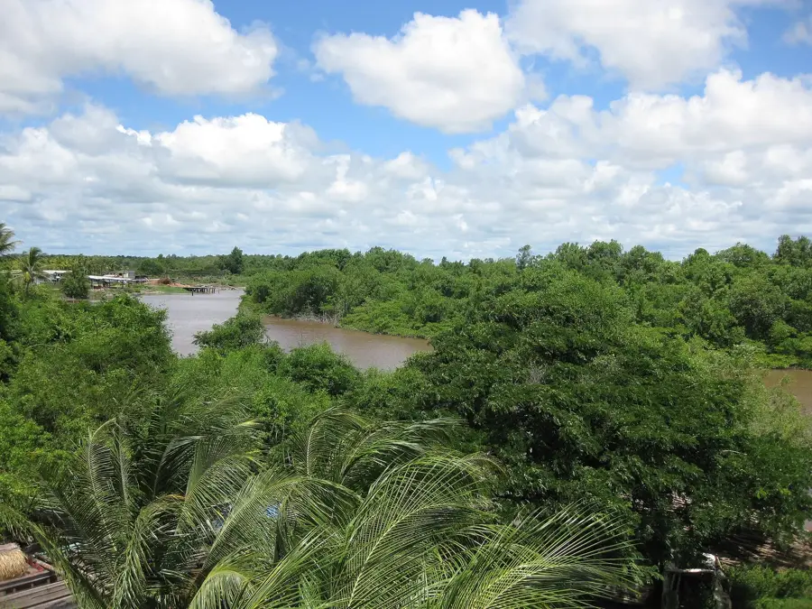
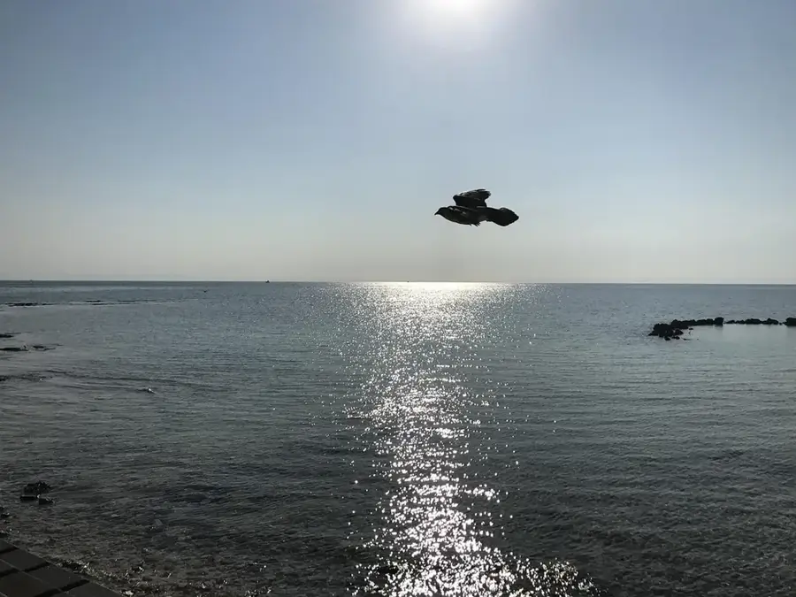
Walk along the edges of the extensive canal system to observe numerous local bird species.
Find a quiet spot by the vast, green rice paddies, especially beautiful during the golden hour before sunset.
Water temperature…
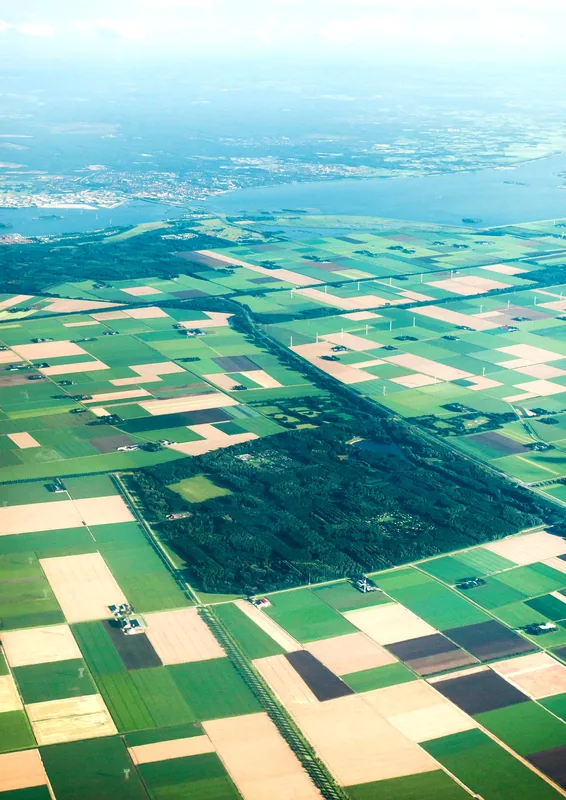
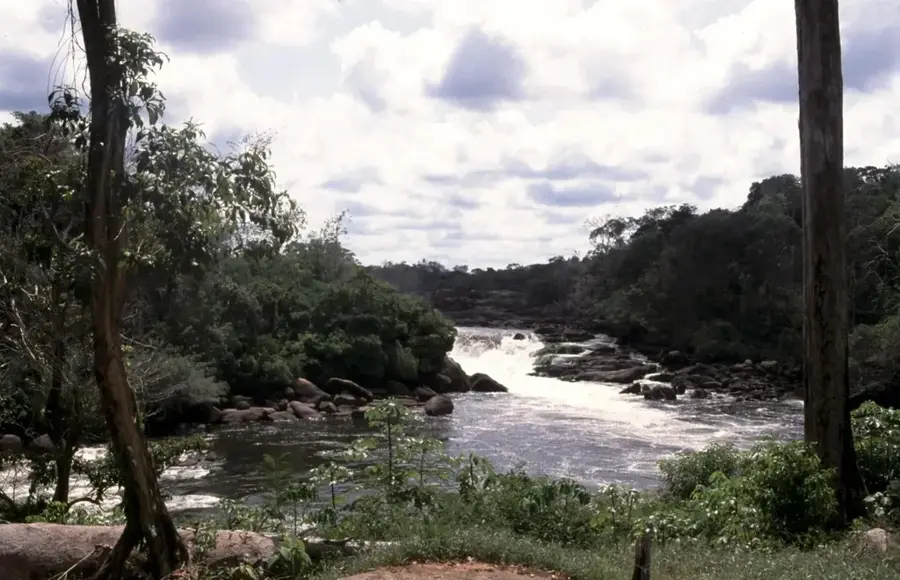
Black Bush Polder is one of Guyana's most vital agricultural regions, located in the East Berbice-Corentyne administrative district. The area was developed in the 1960s as a large-scale drainage and irrigation project designed to bolster domestic food production, specifically rice cultivation. The polder system is organized into four distinct sections: Lesbeholden, Mibikuri, Joanna, and Yakusari. Each of these communities features its own network of canals, which are essential for managing the water supply to the extensive rice fields that dominate the landscape. The region plays a pivotal role in Guyana's economy, contributing significantly to national rice exports and food security. In addition to rice, farmers in the polder cultivate a wide variety of cash crops and vegetables for local markets. The development of Black Bush Polder represents a significant engineering feat in Guyana's post-independence history, transforming marshlands into productive agricultural terrain. Modern investments continue to focus on improving the drainage capacity to mitigate the effects of seasonal flooding.
- Location: Guyana
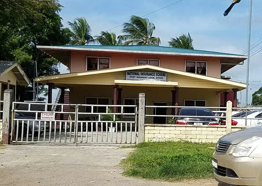
- Nearby: Port Mourant (7 km)
Best time to visit & climate
The most pleasant time to visit is Mar, Sep, Oct.
| Jan | Feb | Mar | Apr | May | Jun | Jul | Aug | Sep | Oct | Nov | Dec | |
|---|---|---|---|---|---|---|---|---|---|---|---|---|
| Avg °C | 26 | 26 | 26 | 27 | 26 | 26 | 26 | 26 | 27 | 28 | 28 | 27 |
| Rain mm | 138 | 111 | 103 | 149 | 266 | 235 | 228 | 147 | 66 | 65 | 93 | 183 |
Geography
Facts
- The Black Bush Polder project was officially commissioned for use in 1961.
- The area encompasses approximately 31,000 acres of fertile agricultural land.
- It is subdivided into four main sections: Lesbeholden, Mibikuri, Joanna, and Yakusari.
- Rice production accounts for nearly 80% of the agricultural output in the region.
- The complex irrigation network consists of over 100 miles of primary and secondary canals.
- The region is a key contributor to Guyana's exports within the CARICOM trade bloc.
Explore nearby
Notable places around
Route planner — Car & Motorhome
Where do you start? We build the route here, with stops and country notes along the way.
© OpenStreetMap contributors · OpenRouteService
Frequently asked questions
What is the Black Bush Polder project?
What sectors make up the polder?
What is grown there besides rice?
What are the road conditions like?
Is it a tourist destination?
Black Bush Polder: where is it located?
Black Bush Polder: when is the best time to visit?
Black Bush Polder: why is it worth visiting?

Nearby cities


History & landmarks
Nature
More places