Plizio Visual Lab
Berbice River
Weather…
Water temperature…
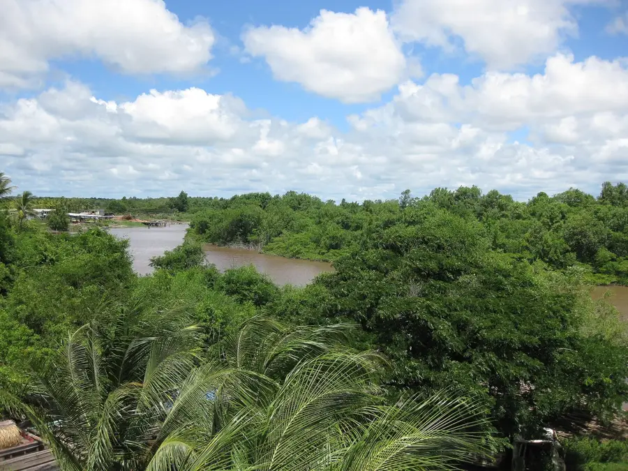
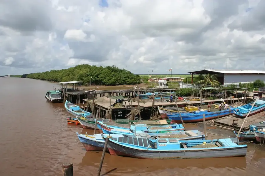
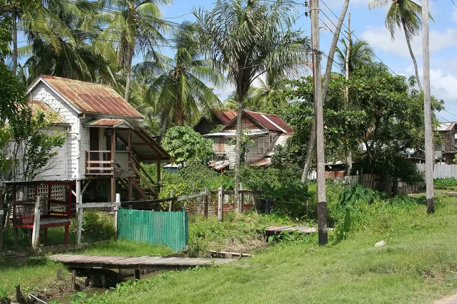
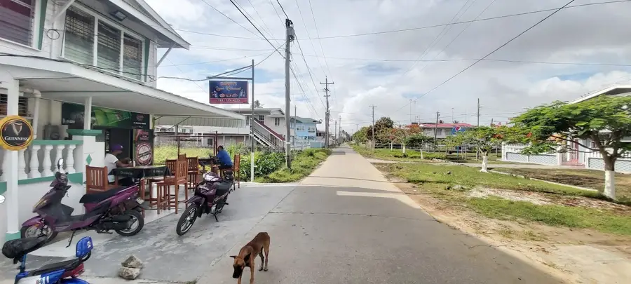
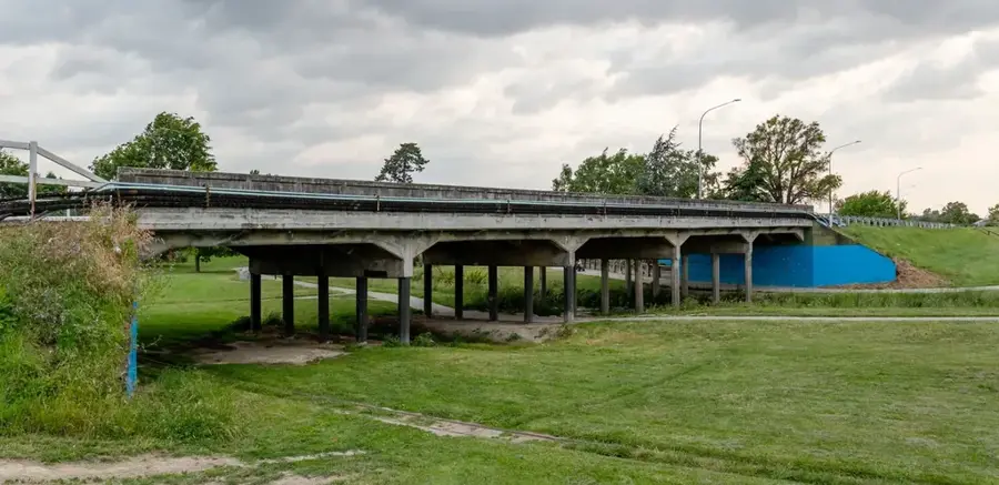
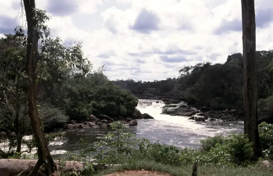
The Berbice River is a major waterway in eastern Guyana, stretching approximately 595 kilometers in length. It originates in the highlands of the Rupununi region and flows northward through dense tropical forests and expansive savannas before emptying into the Atlantic Ocean at New Amsterdam. Historically, the river is inextricably linked to the 1763 Slave Uprising led by Cuffy, which remains a pivotal event in Guyanese history and national identity. The Berbice River valley is a crucial agricultural hub, primarily known for sugarcane and rice cultivation. The river is navigable for small vessels up to 160 kilometers upstream, serving as an important transport route for the timber industry in the interior. In 2008, the Berbice River Bridge was opened, significantly improving connectivity between the eastern part of Guyana and the rest of the country. Its banks are home to many historical settlements and a wide variety of wildlife, including rare bird species and caimans. The Berbice River is a symbol of both historical struggle and modern economic progress.
- Location: Guyana
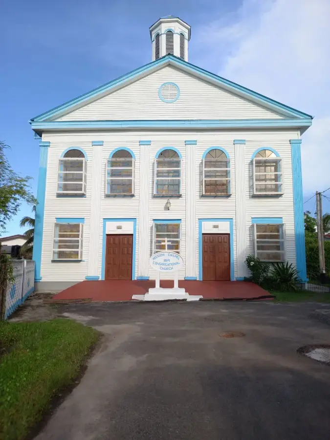
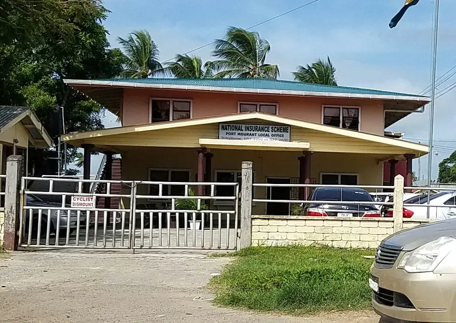
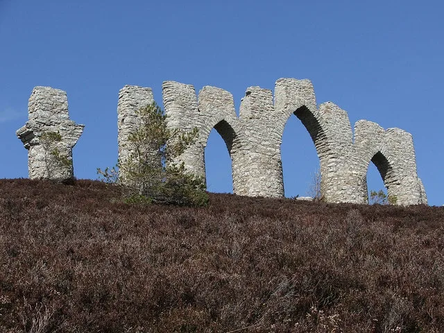
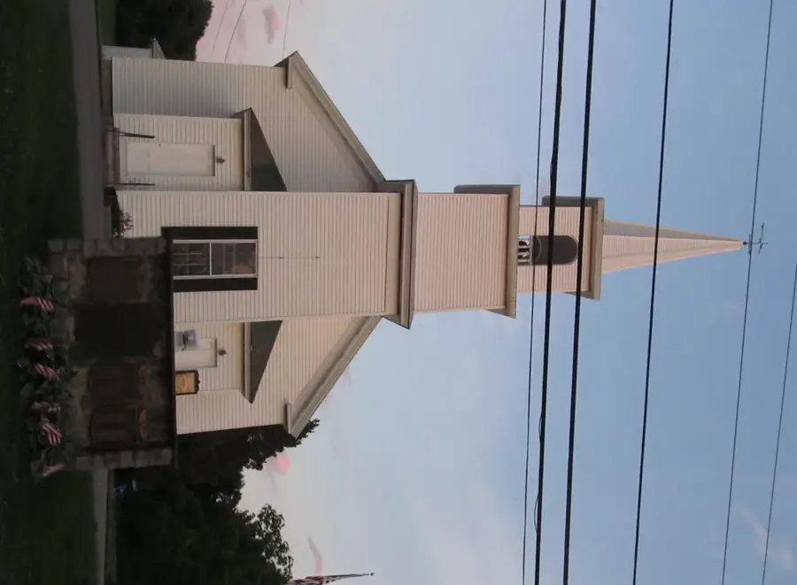
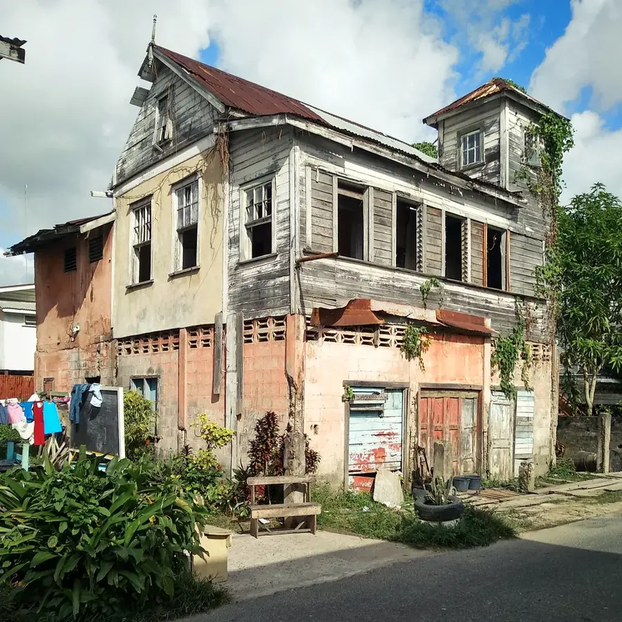
- Top sights: Berbice Bridge · Cotton Tree Church of Christ · Shieldstown Mandir
- Nearby: Bush Lot (15 km)
Best time to visit & climate
The most pleasant time to visit is Feb, Mar, Sep.
| Jan | Feb | Mar | Apr | May | Jun | Jul | Aug | Sep | Oct | Nov | Dec | |
|---|---|---|---|---|---|---|---|---|---|---|---|---|
| Avg °C | 27 | 26 | 27 | 27 | 27 | 27 | 27 | 28 | 28 | 28 | 28 | 27 |
| Rain mm | 144 | 106 | 93 | 144 | 275 | 268 | 255 | 166 | 82 | 84 | 120 | 204 |
📋 Practical info
Geography
Facts
- Length of approximately 595 km
- Empties into the Atlantic at New Amsterdam
- Site of the 1763 Slave Uprising
- The Berbice River Bridge opened in 2008
- Key route for timber and agriculture
- Navigable for about 160 km upstream
Explore nearby
Notable places around
Route planner — Car & Motorhome
Where do you start? We build the route here, with stops and country notes along the way.
© OpenStreetMap contributors · OpenRouteService
Sights in the town Berbice River (6)
Sights nearby
Frequently asked questions
Is the Berbice River accessible to tourists?
What is the historical significance of the river?
What vegetation is found on the banks?
Are there piranhas in the river?
How deep is the Berbice River?
Berbice River: where is it located?
Berbice River: what is there to see?
Berbice River: when is the best time to visit?
Berbice River: why is it worth visiting?

Nearby cities


History & landmarks
Nature
More places