Plizio Visual Lab
CGX Berbice Deep Water Port
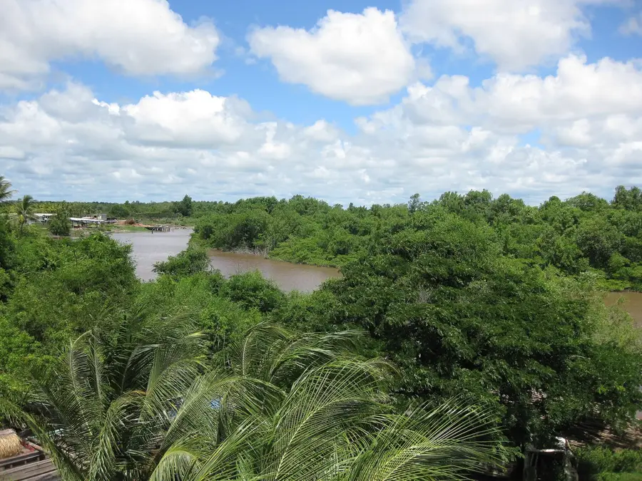
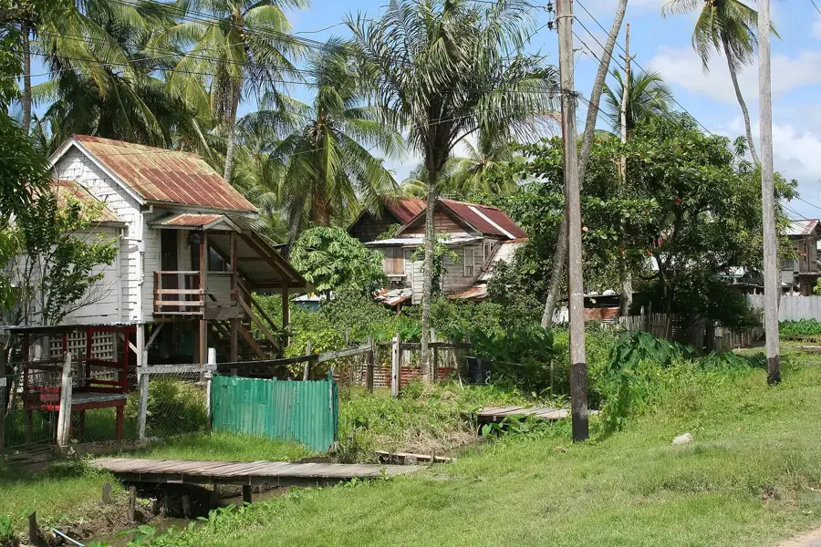
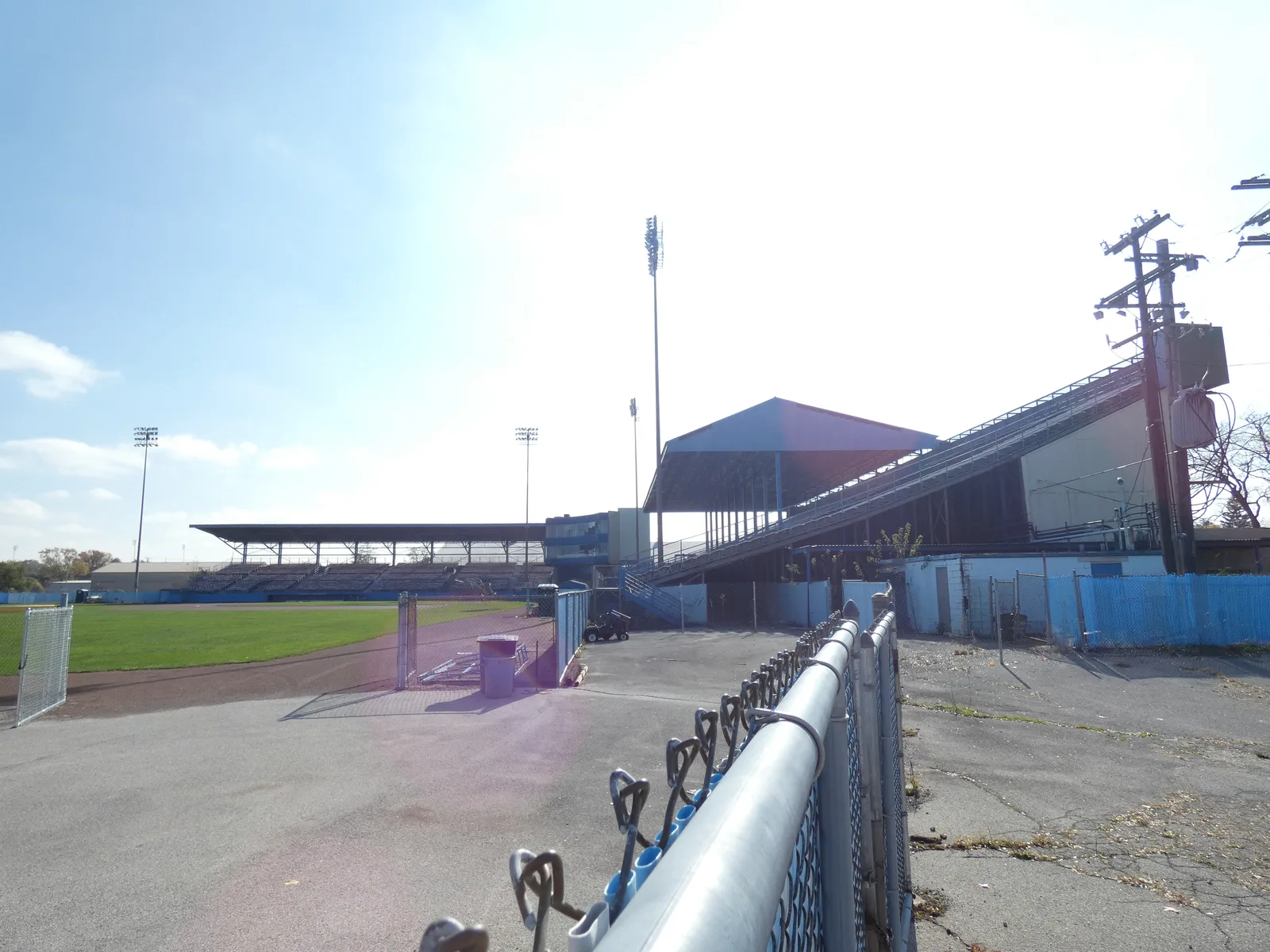
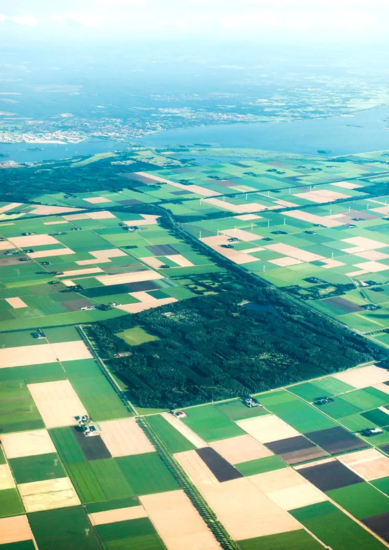
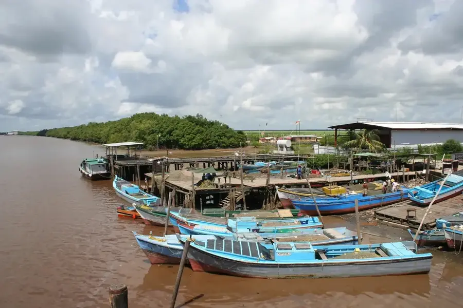
The CGX Berbice Deep Water Port is a pioneering infrastructure project located at the mouth of the Berbice River in Guyana. Developed by Grand Canal Industrial Estates (GCIE), a subsidiary of CGX Energy Inc., the project is designed to support the growing oil and gas sector as well as traditional agriculture. The port is strategically positioned to provide logistics services for offshore exploration in the Corentyne block, while also serving as a transshipment point for agricultural exports such as sugar and rice from the Berbice region. With a multi-million dollar investment, the facility includes wharves, warehouses, and specialized equipment for deep-water container handling. The construction of this port marks a turning point for the economic development of the East Berbice-Corentyne region, creating hundreds of jobs and opening new business opportunities for local suppliers. By reducing dependence on ports in Georgetown or neighboring countries, the Berbice Deep Water Port strengthens national sovereignty over trade routes. The project is a key component of Guyana's strategy to become a regional logistics hub.
- Location: Guyana
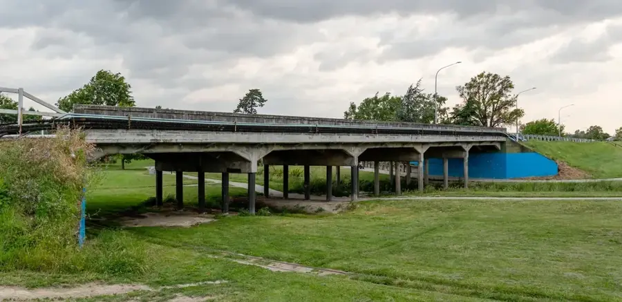
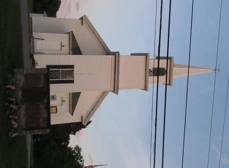
- Top sights: Fort St. Andries · Indian Arrival Monument · Mandir
- Nearby: Fyrish (16 km)
Best time to visit & climate
The most pleasant time to visit is Feb, Mar, Sep.
| Jan | Feb | Mar | Apr | May | Jun | Jul | Aug | Sep | Oct | Nov | Dec | |
|---|---|---|---|---|---|---|---|---|---|---|---|---|
| Avg °C | 27 | 26 | 27 | 27 | 27 | 27 | 27 | 28 | 28 | 28 | 28 | 27 |
| Rain mm | 144 | 106 | 93 | 144 | 275 | 268 | 255 | 166 | 82 | 84 | 120 | 204 |
📋 Practical info
Geography
Facts
- Developed by Grand Canal Industrial Estates (GCIE).
- Located at the mouth of the Berbice River.
- Supports oil and gas sectors along with agriculture.
- Multi-million US dollar investment in the facility.
- Strategic base for the Corentyne offshore block.
- Serves as an export terminal for Berbice rice and sugar.
Explore nearby
Notable places around
Route planner — Car & Motorhome
Where do you start? We build the route here, with stops and country notes along the way.
© OpenStreetMap contributors · OpenRouteService
Sights in the town CGX Berbice Deep Water Port (6)
Sights nearby
Frequently asked questions
What is the CGX Berbice Deep Water Port?
Where exactly is this port located?
Is the port already operational?
Why is it called a 'deep water port'?
What benefits does it have for the local population?
CGX Berbice Deep Water Port: where is it located?
CGX Berbice Deep Water Port: what is there to see?
CGX Berbice Deep Water Port: when is the best time to visit?
CGX Berbice Deep Water Port: why is it worth visiting?

Nearby cities


History & landmarks
Nature
More places