Plizio Visual Lab
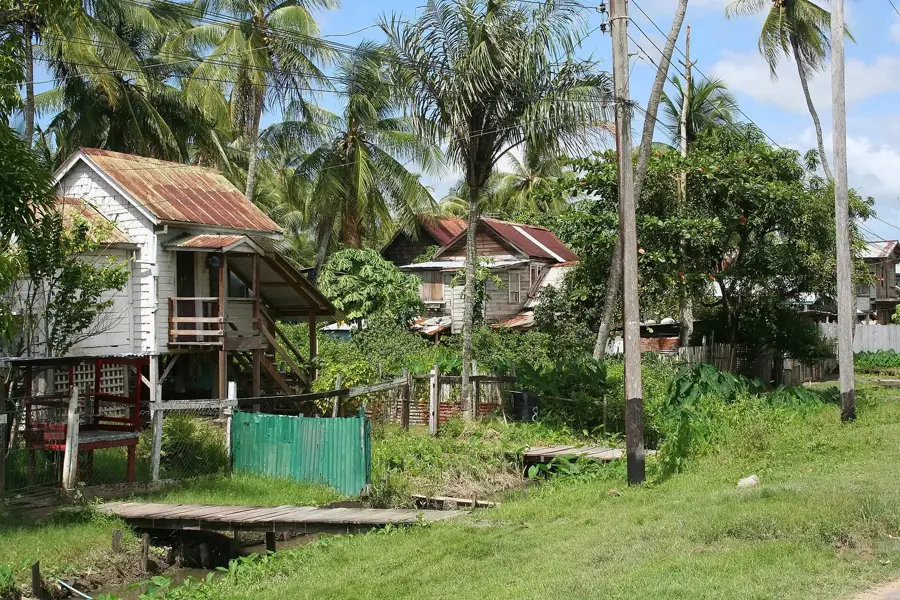
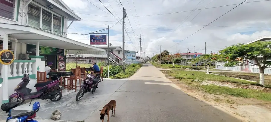
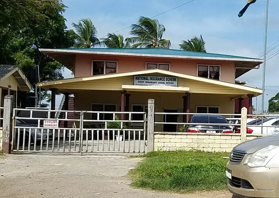
Black Bush Polder Rice Fields

Weather…
Water temperature…
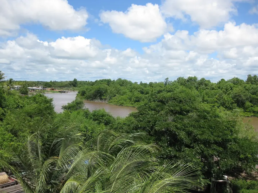
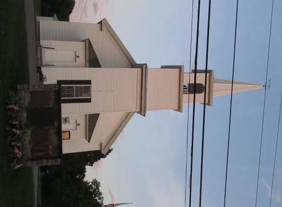
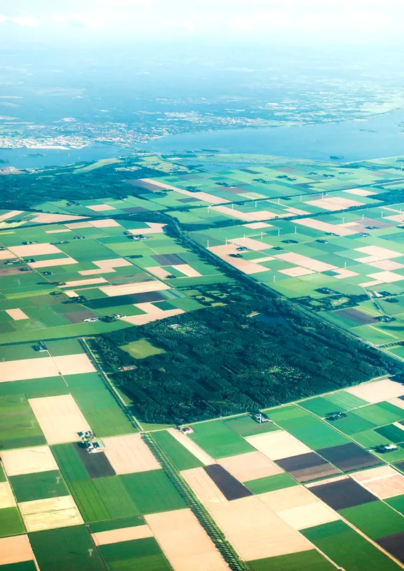
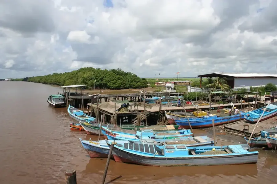
Black Bush Polder is a massive agricultural development scheme located in the East Berbice-Corentyne region of Guyana. Initiated in the late 1950s and completed in the early 1960s, it was designed to settle hundreds of landless families and expand the country's rice production capacity. The scheme is divided into four main sections known as Lesbeholden, Mibikuri, Johanna, and Yakusari, covering over 31,000 acres of fertile land. It features an intricate network of irrigation canals and drainage systems that draw water from the Canje River to support year-round cultivation. As one of the largest rice-producing areas in the nation, it plays a vital role in Guyana's export economy and food security. The infrastructure also includes access roads and community centers that support the thousands of residents living within the polder. Today, Black Bush Polder remains a cornerstone of Guyanese agriculture, reflecting the country's historical emphasis on large-scale land reclamation and settlement projects.
- Location: Guyana
- Nearby: Fyrish (6 km)
Best time to visit & climate
The most pleasant time to visit is Mar, Sep, Oct.
| Jan | Feb | Mar | Apr | May | Jun | Jul | Aug | Sep | Oct | Nov | Dec | |
|---|---|---|---|---|---|---|---|---|---|---|---|---|
| Avg °C | 26 | 26 | 26 | 27 | 26 | 26 | 26 | 26 | 27 | 28 | 28 | 27 |
| Rain mm | 138 | 111 | 103 | 149 | 266 | 235 | 228 | 147 | 66 | 65 | 93 | 183 |
📋 Practical info
Geography
Facts
- Construction completed in 1963
- Covers approximately 31,000 acres of land
- Four main sections: Lesbeholden, Mibikuri, Johanna, Yakusari
- Water supply is provided by the Canje River
- Primary crop is long-grain rice
- Over 1,500 settler families were originally planned
Explore nearby
Notable places around
Route planner — Car & Motorhome
Where do you start? We build the route here, with stops and country notes along the way.
© OpenStreetMap contributors · OpenRouteService
Sights nearby
Frequently asked questions
What is Black-Bush-Polder?
How large is the rice cultivation area?
Can you visit the rice mills?
How is the local infrastructure?
When is the rice harvested?
Black Bush Polder Rice Fields: where is it located?
Black Bush Polder Rice Fields: when is the best time to visit?
Black Bush Polder Rice Fields: why is it worth visiting?

Nearby cities

History & landmarks
Nature
More places