Plizio Visual Lab
Corriverton
ℹ️Practical info — Corriverton
▾
🌤 Weather — 5 days
📍 Nearby
Sights nearby
💡 Tips
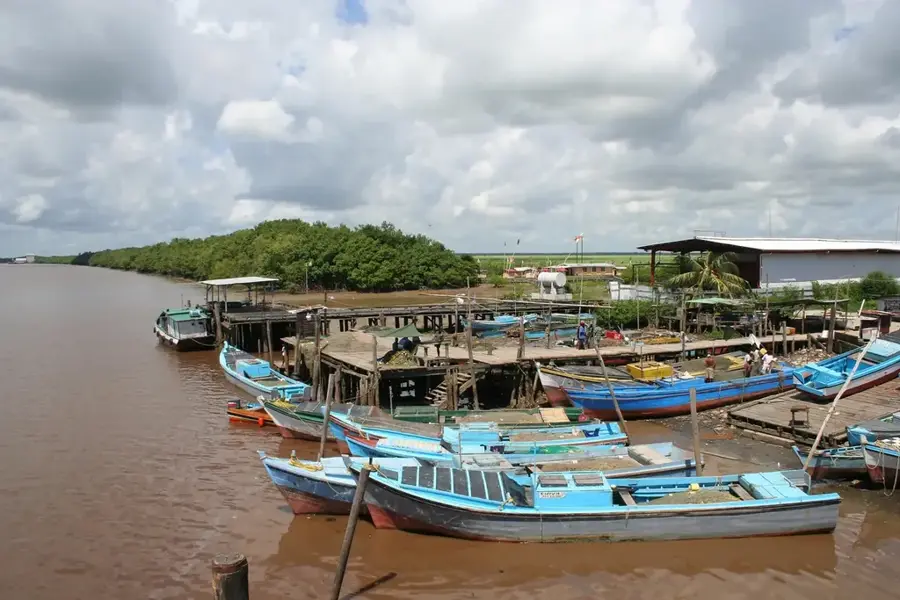
- The city sits right on the Corentyne River; this is where you catch the ferry over to Suriname.
- Corriverton is historically made up of two merged settlements: Springlands and Skeldon.
- Make sure to bring insect repellent, especially if you are near the water in the evening.
- The currency is the Guyanese dollar, but larger stores and hotels often accept US dollars.
🍽 Food
Enjoy this Guyanese classic at the local Indo-Guyanese eateries.
A very popular, savory breakfast you can grab from small bakeries in the morning.
Try this unique local-Chinese fusion dish at restaurants along the main street.
🛍 Shopping · 🧘 Quiet spots
A bustling place to buy local spices, fresh produce, and everyday clothing items.
Guyanese gold is of high quality; browse the licensed jewelry shops in town.
The riverside benches offer a quiet place to watch the passing boats and the water.
Walk through the historic and spacious areas of the old sugarcane plantation.
Water temperature…
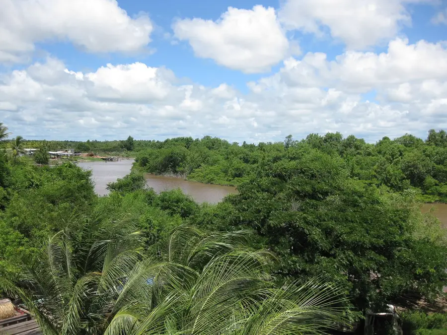
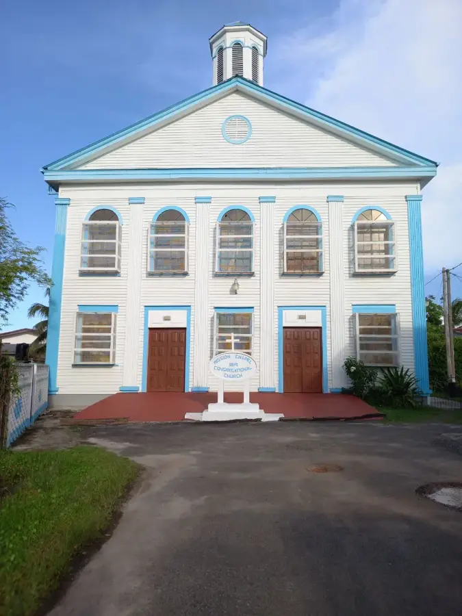
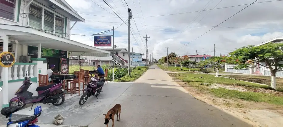
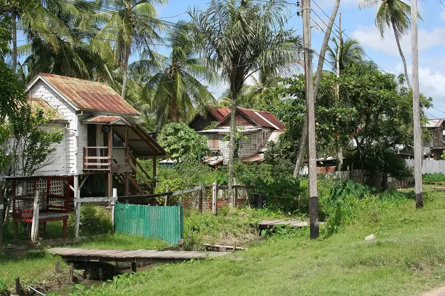
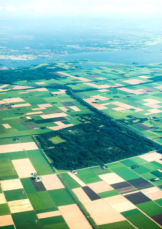
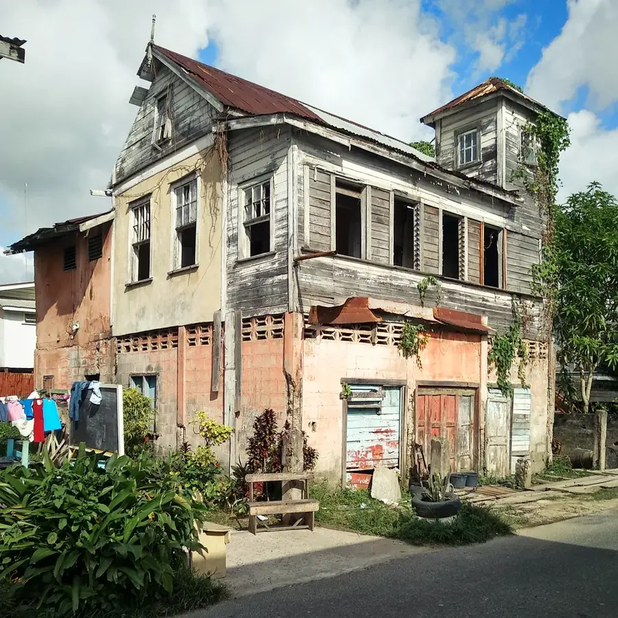
Corriverton is Guyana's easternmost town, situated on the banks of the Corentyne River, which marks the natural border with Suriname. Formed by the amalgamation of the settlements of Springlands and Skeldon, the town serves as Guyana’s primary gateway to its eastern neighbor. Corriverton’s economic identity is inextricably linked to the sugar industry; the Skeldon Sugar Estate was for a long time one of the nation's largest employers and most significant industrial complexes. Beyond sugar, cross-border trade and informal economic activities drive the local dynamic. Geographically, the terrain is flat and marks the terminus of the national coastal highway. The architecture of Corriverton is a mix of commercial warehouses, colonial residences, and modern shopping centers that thrive on the border traffic. The population is ethnically diverse, with a strong East Indian presence reflected in the town's numerous Hindu temples and culinary traditions. The ferry link to South Drain in Suriname is the town's logistical heartbeat, symbolizing Corriverton's role as a vital link in South American regional integration.
- Location: Guyana
- Nearby: Whim (26 km)
- Population: ~11.488 (2026)
Best time to visit & climate
The most pleasant time to visit is Mar, Sep, Oct.
| Jan | Feb | Mar | Apr | May | Jun | Jul | Aug | Sep | Oct | Nov | Dec | |
|---|---|---|---|---|---|---|---|---|---|---|---|---|
| Avg °C | 26 | 26 | 26 | 27 | 27 | 26 | 26 | 27 | 28 | 28 | 28 | 27 |
| Rain mm | 133 | 109 | 103 | 149 | 261 | 234 | 228 | 146 | 65 | 64 | 89 | 180 |
Geography
Facts
- Corriverton is located roughly 300 kilometers east of Georgetown.
- The town was established in 1970 through the merger of Skeldon and Springlands.
- The Skeldon Sugar Estate remains a massive feature of the town's landscape.
- The international ferry crossing to Suriname is located at Moleson Creek, nearby.
- The town is a significant center for East Indian culture and religious festivals.
- Corriverton acts as a key commercial hub for the Corentyne river basin area.
Explore nearby
Notable places around
Route planner — Car & Motorhome
Where do you start? We build the route here, with stops and country notes along the way.
© OpenStreetMap contributors · OpenRouteService
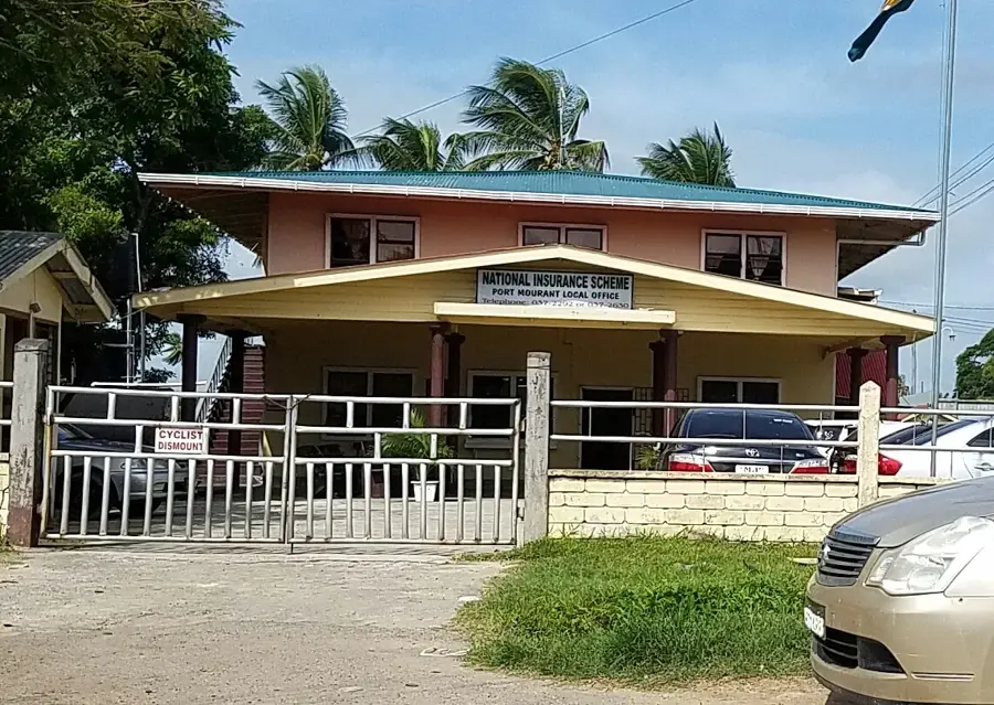
Sights in the town Corriverton (1)
Frequently asked questions
How can one get from Corriverton to Suriname?
What currency is accepted at the border?
Is Corriverton safe for travelers?
What is the main economic activity of the region?
Are there any beaches nearby?
Corriverton: where is it located?
Corriverton: when is the best time to visit?
Corriverton: why is it worth visiting?

Nearby cities


History & landmarks

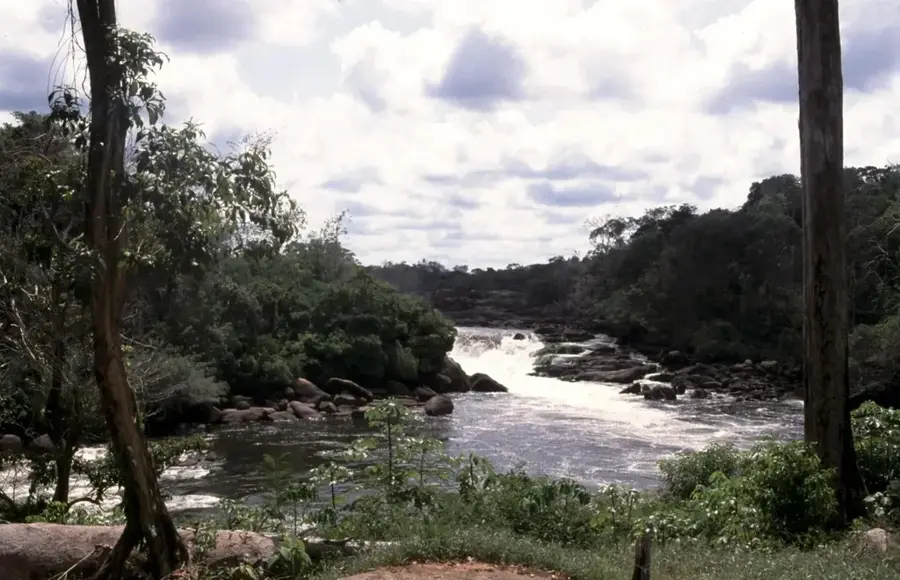
Nature
More places