Plizio Visual Lab
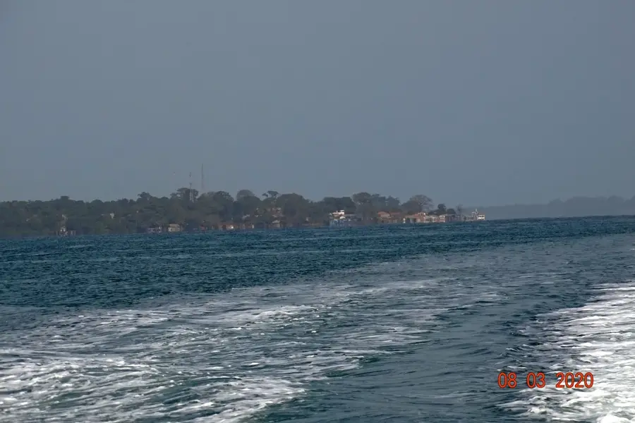
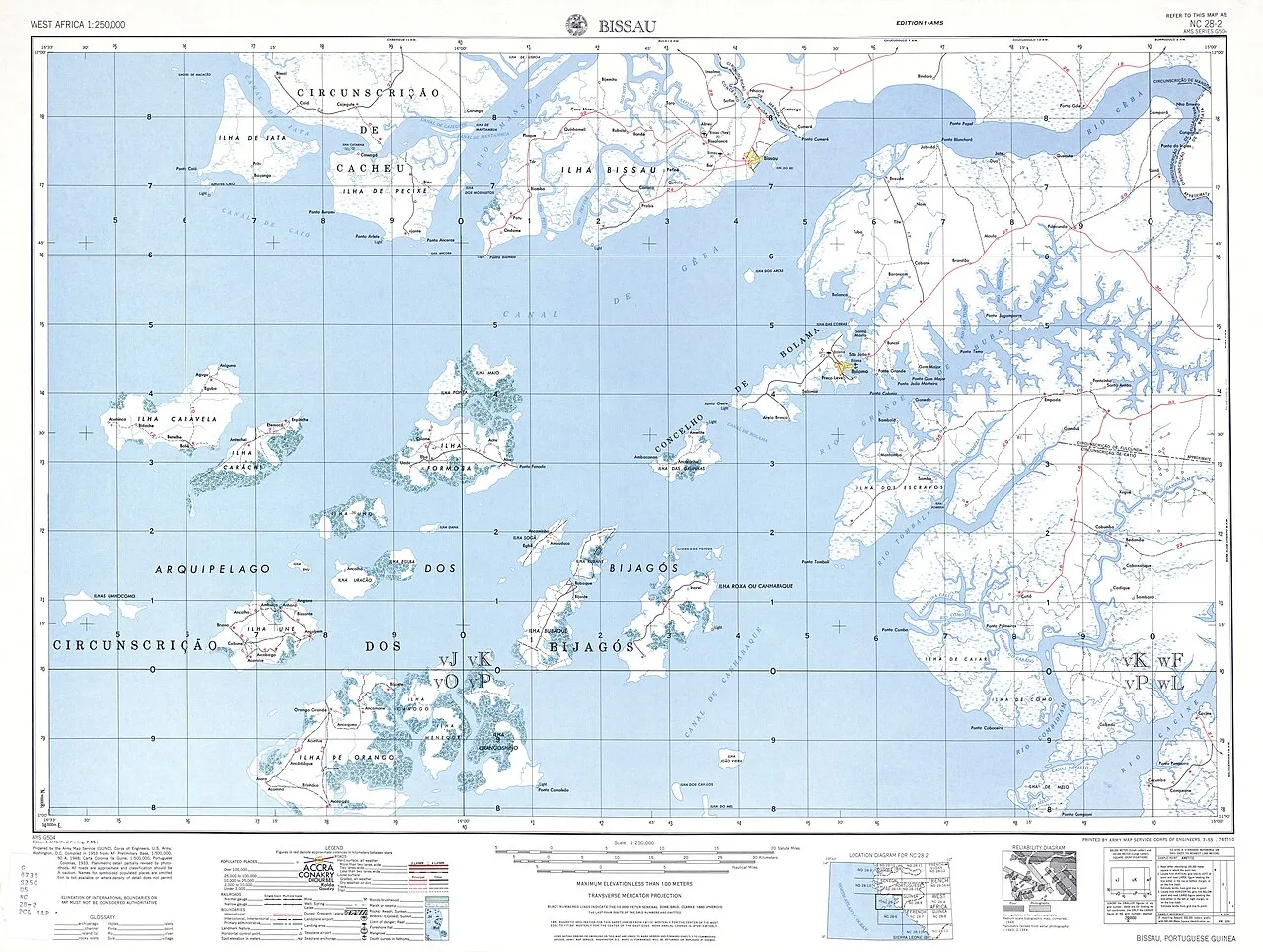
Orango Island
Weather…
Water temperature…
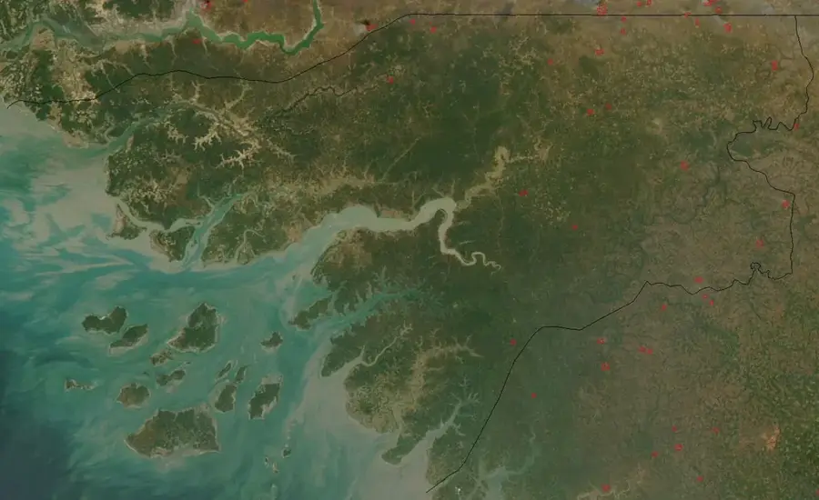
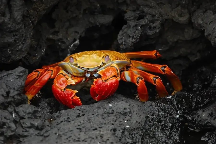
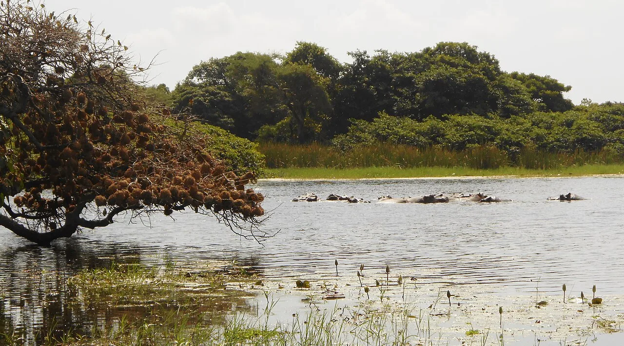
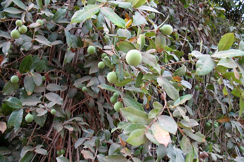
Orango Island is the centerpiece of the national park of the same name within the Bijagós Archipelago, representing one of West Africa's most ecologically valuable zones. The island's geography is defined by a complex mosaic of dense mangrove forests, extensive palm groves, and broad coastal savannas interspersed with shallow lagoons. This diversity of habitats supports extraordinary biodiversity. Orango is world-famous for its population of saltwater hippos, which have uniquely adapted to life in the marine bays, a biological anomaly. In addition to these giants, the island provides habitat for crocodiles, sea turtles, and an immense number of migratory birds. The Orango National Park is managed in close collaboration with the local Bijagó communities, whose spiritual connection to nature acts as an effective protection mechanism. Sacred sites and traditional taboos prevent the overexploitation of resources. The island is also a hub for the matriarchal culture of the Bijagós, giving it high ethnographic significance. For naturalists and ecotourists, Orango features one of the most pristine Atlantic landscapes, where evolutionary processes and traditional ways of life coexist in a delicate balance.
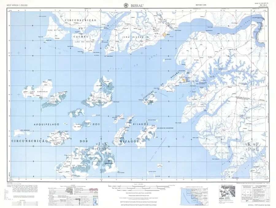
- Location: Guinea-Bissau
- Nearby: Orangozinho Island (9 km)
Best time to visit & climate
The most pleasant time to visit is Feb–Apr.
| Jan | Feb | Mar | Apr | May | Jun | Jul | Aug | Sep | Oct | Nov | Dec | |
|---|---|---|---|---|---|---|---|---|---|---|---|---|
| Avg °C | 25 | 25 | 25 | 25 | 26 | 27 | 27 | 27 | 27 | 28 | 28 | 27 |
| Rain mm | 1 | 0 | 3 | 2 | 12 | 146 | 445 | 545 | 355 | 187 | 14 | 0 |
📋 Practical info
Geography
Facts
- Orango is the largest island in the western section of the Bijagós Archipelago.
- The national park was established in 1998 to protect the unique hippo population.
- The island contains the sacred burial sites of Bijagó kings and queens.
- It features a rare combination of marine and terrestrial ecosystems.
- The mangrove forests here are among the best-preserved in the region.
- Access is strictly managed to ensure sustainable ecotourism practices.
Explore nearby
Notable places around
Route planner — Car & Motorhome
Where do you start? We build the route here, with stops and country notes along the way.
© OpenStreetMap contributors · OpenRouteService
Sights in the town Orango Island (1)
Sights nearby
Frequently asked questions
Can you see saltwater hippos on Orango?
Do you need a guide for the island?
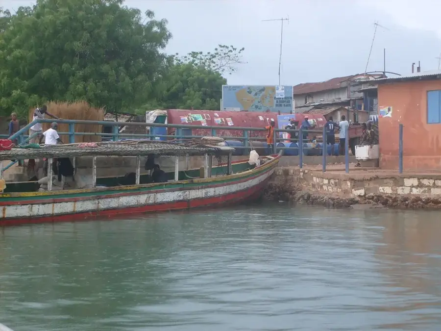
How do you reach Orango Island?
Are there accommodation options on the island?
What should you bring for a hippo tour?
Orango Island: where is it located?
Orango Island: when is the best time to visit?
Orango Island: why is it worth visiting?

Nearby cities
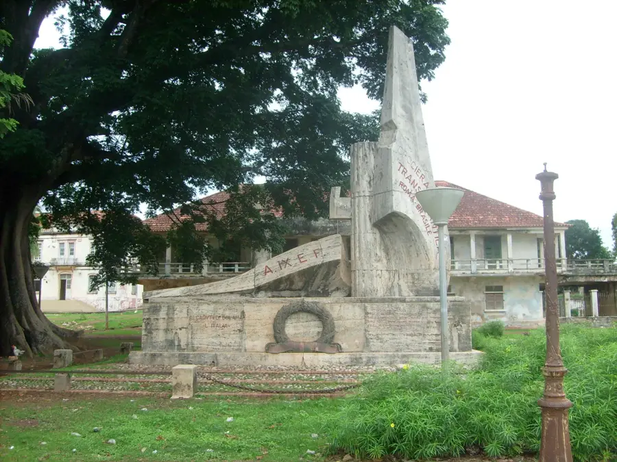


History & landmarks
More places