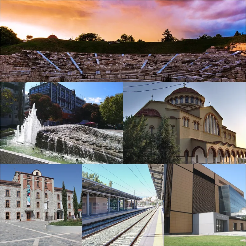
Plizio Visual Lab
Mount Pelion
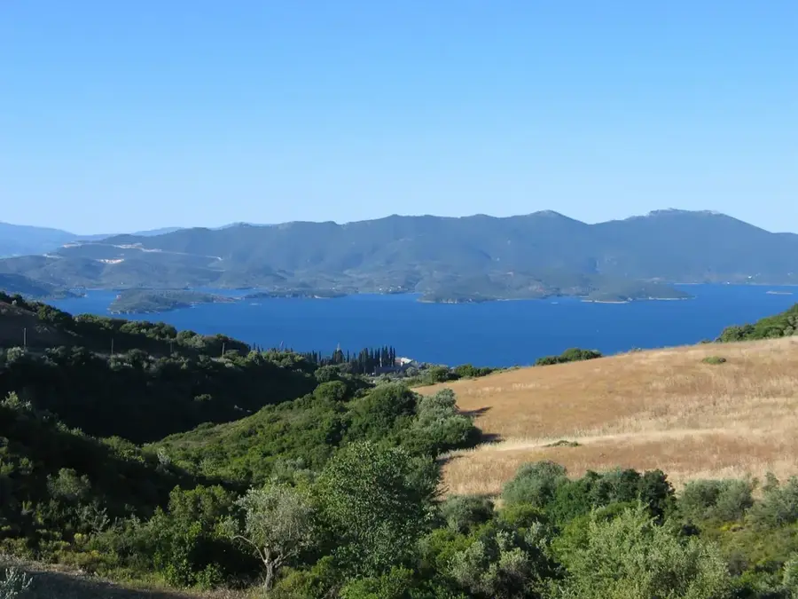
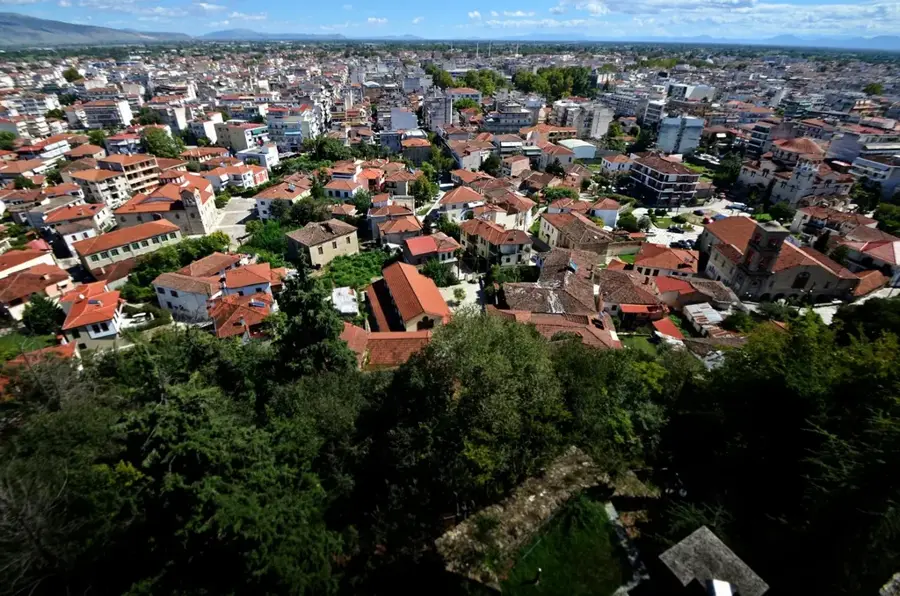
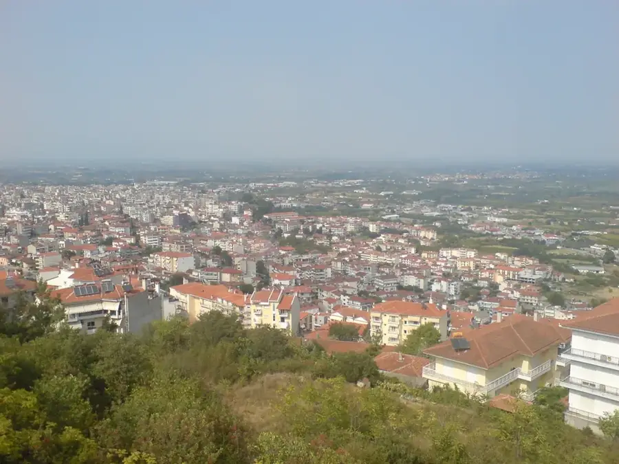
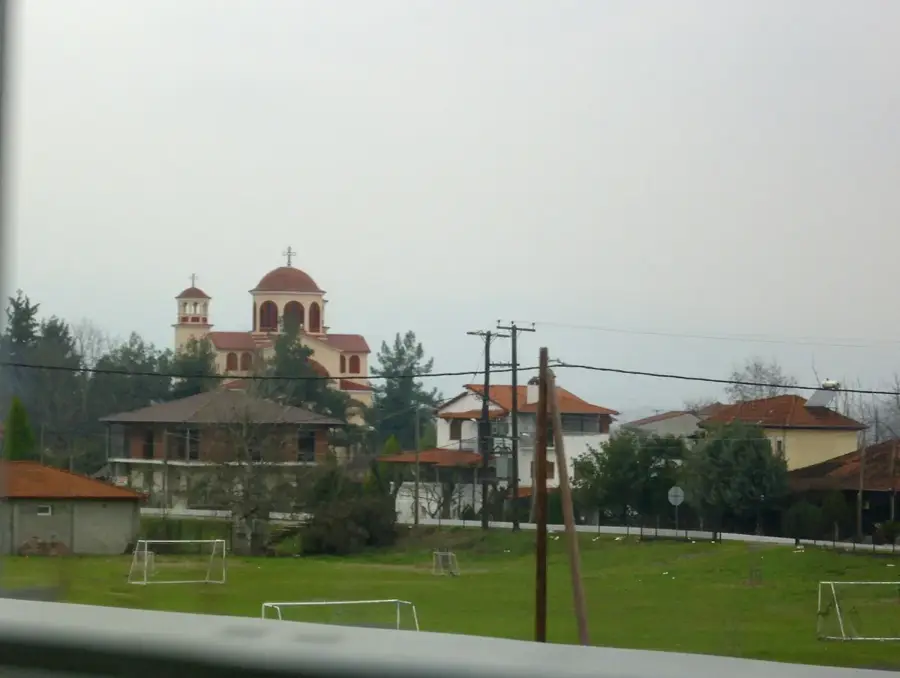
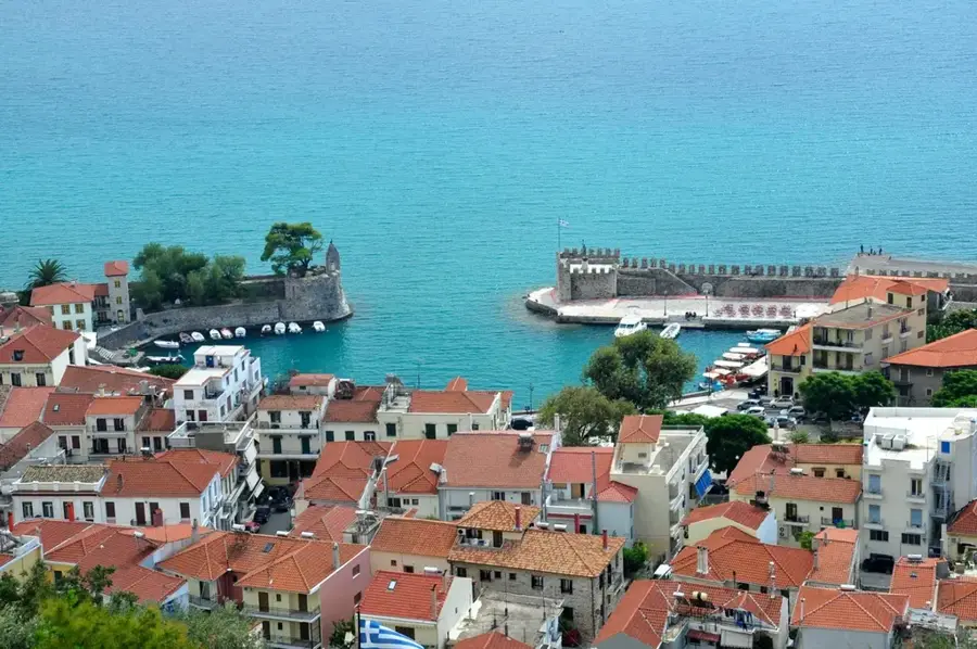
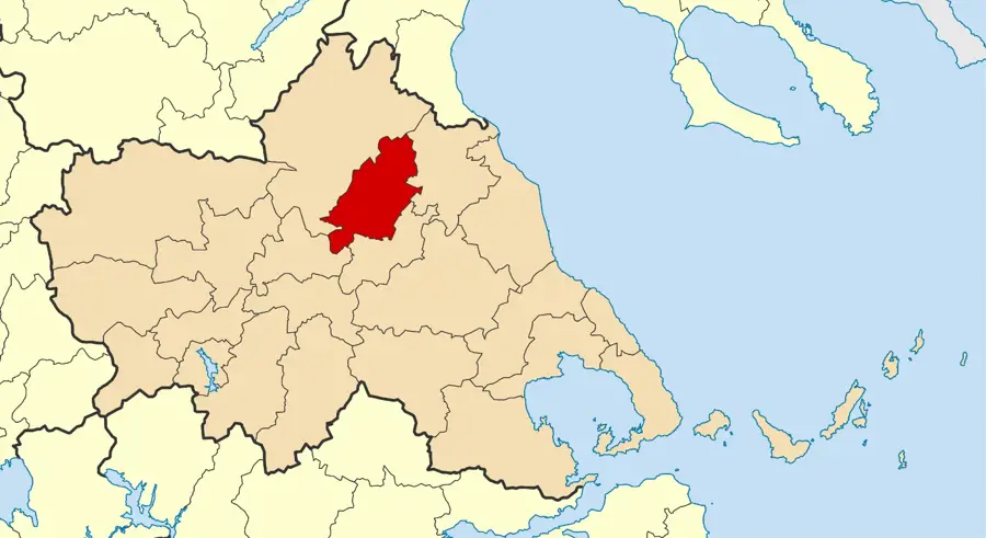
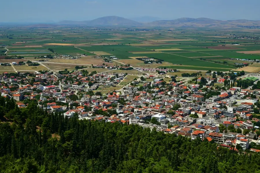
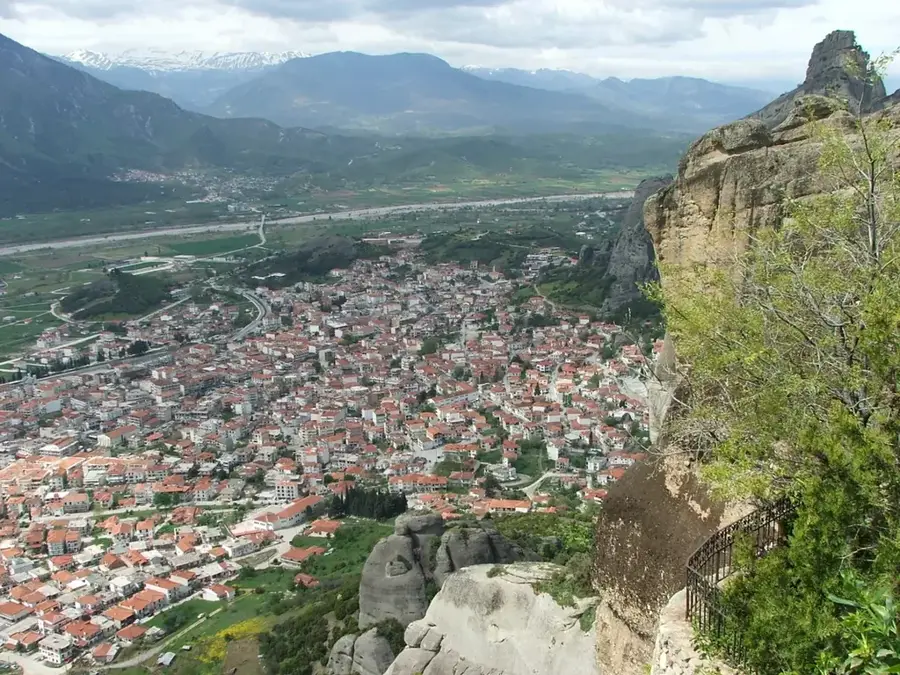
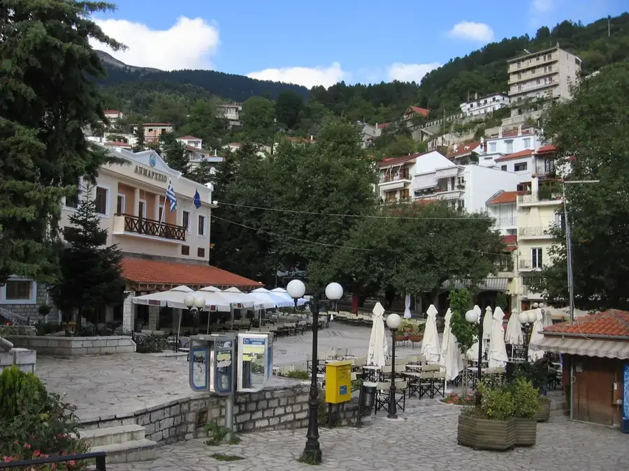
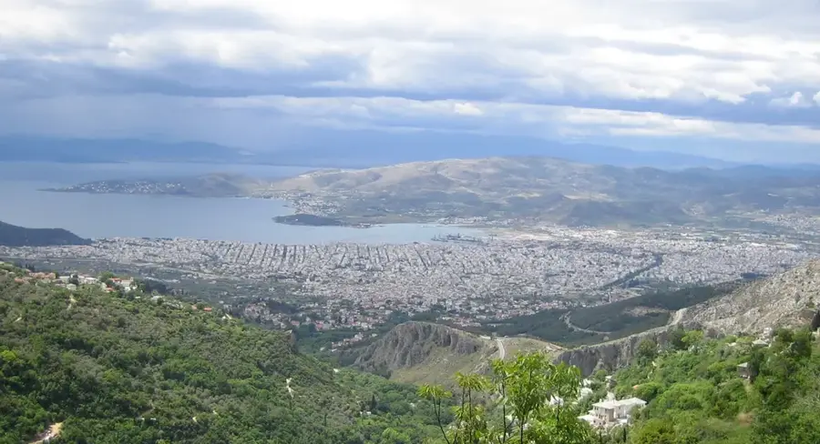
Mount Pelion, located in the Magnesia region of Thessaly, forms a hook-shaped peninsula between the Pagasetic Gulf and the Aegean Sea. In Greek mythology, Pelion was celebrated as the homeland of the Centaurs and the preferred summer residence of the Olympian gods. Its highest peak, Pourianos Stavros, reaches an elevation of 1,624 meters. The mountain is renowned for its lush and diverse vegetation, featuring ancient plane trees, beeches, chestnuts, and oaks. There are 24 traditional villages scattered across Pelion, famous for their unique architectural style, characterized by stone mansions and grey slate roofs. The region is highly productive agriculturally, known for yielding premium apples, pears, and chestnuts. A notable historical feature is the Pelion railway, a narrow-gauge train that has traversed the scenic mountain routes since the late 19th century. The unique blend of high-altitude forests and immediate proximity to the sea makes Pelion a year-round destination for hiking and coastal recreation.
- Location: Greece
- Top sights: Fortification of Episkopi · Sarakinos - Kaliakouda - Panagias - Pournari - Elatorema - Kinotita Makrinitsas
- Nearby: Pelion (6 km)
Best time to visit & climate
The most pleasant time to visit is May, Jun, Sep.
| Jan | Feb | Mar | Apr | May | Jun | Jul | Aug | Sep | Oct | Nov | Dec | |
|---|---|---|---|---|---|---|---|---|---|---|---|---|
| Avg °C | 9 | 10 | 12 | 14 | 19 | 24 | 26 | 27 | 23 | 19 | 15 | 11 |
| Rain mm | 53 | 45 | 53 | 33 | 35 | 31 | 28 | 19 | 47 | 52 | 48 | 64 |
📋 Practical info
Geography
Facts
- The highest peak, Pourianos Stavros, is 1,624 meters high.
- Home to 24 traditionally preserved mountain villages.
- Mythological home of the Centaurs and Chiron the Wise.
- The narrow-gauge Pelion railway was opened in 1895.
- Major center for the production of high-quality apples.
- Agriolefkes ski center offers views of the Aegean Sea.
Explore nearby
Notable places around
Route planner — Car & Motorhome
Where do you start? We build the route here, with stops and country notes along the way.
© OpenStreetMap contributors · OpenRouteService
Sights in the town Mount Pelion (2)
Sights nearby
Frequently asked questions
What is special about Pelion?
Can you ski there?
Which places are the most famous?
What is the Pelion train?
Which beaches are recommended?
Mount Pelion: where is it located?
Mount Pelion: what is there to see?
Mount Pelion: when is the best time to visit?
Mount Pelion: why is it worth visiting?

Nearby cities