Plizio Visual Lab
Magnesia
ℹ️Practical info — Magnesia
▾
🌤 Weather — 5 days
📍 Nearby
Sights nearby
💡 Tips
- In Volos, skip ordering full meals and visit a 'tsipouradiko'; you get a free meze plate with every small bottle of tsipouro you order.
- Driving in the Pelion peninsula involves steep, winding mountain roads; take your time and watch for blind corners.
- In summer, head to the Aegean side (east) of Pelion for spectacular beaches, and the Pagasetic Gulf side (west) for calmer waters.
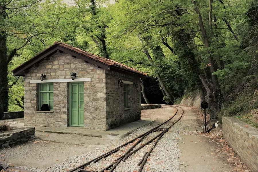
- Ride the historical Moutzouris narrow-gauge steam train from Ano Lechonia to Milies for scenic mountain views.
🍽 Food
A rich, spicy stew of local sausages and peppers. Try it in a rustic mountain taverna in Portaria or Makrinitsa.
Local pomace brandy served with a rotating selection of seafood and vegetable bites. Find a busy spot along the Volos waterfront.
Fruits preserved in heavy syrup, especially the local sour cherry or miniature apples. Available in women's cooperative shops in Pelion villages.
🛍 Shopping · 🧘 Quiet spots
Buy dried local mountain herbs and tea blends from the small souvenir shops in Makrinitsa.
Look for traditional, hand-painted ceramic plates and jugs in the artisan shops of Volos or Pelion villages.
A peaceful, shaded hiking trail starting near Portaria, winding through plane trees and small streams.
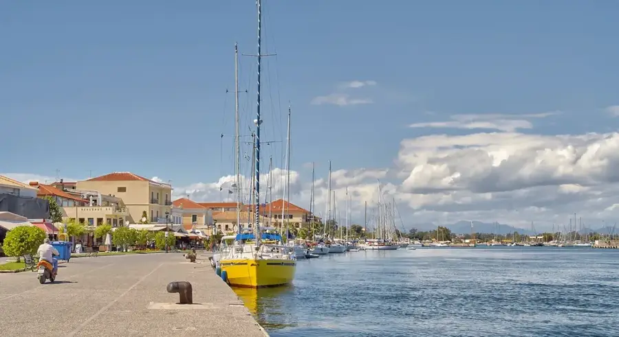
A small, pretty natural harbor with crystal clear waters, first-rate for a quiet morning walk away from the bustling beaches.
Water temperature…
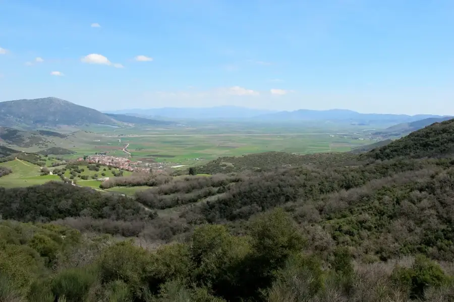
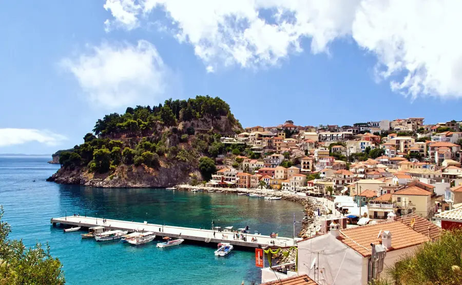
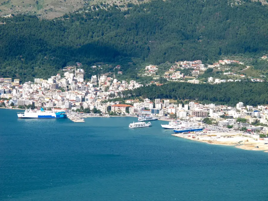
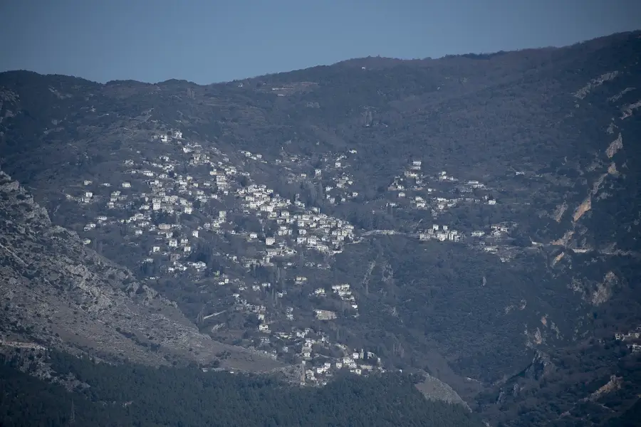
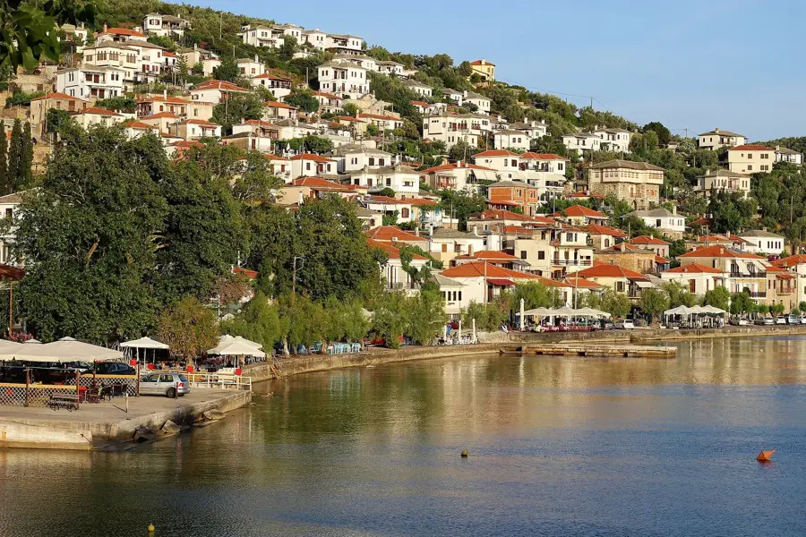
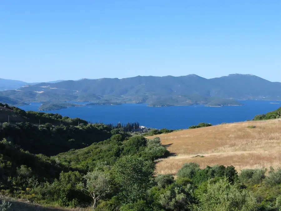
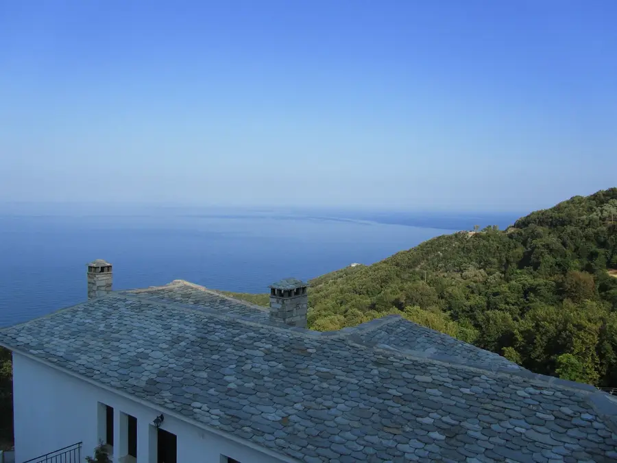
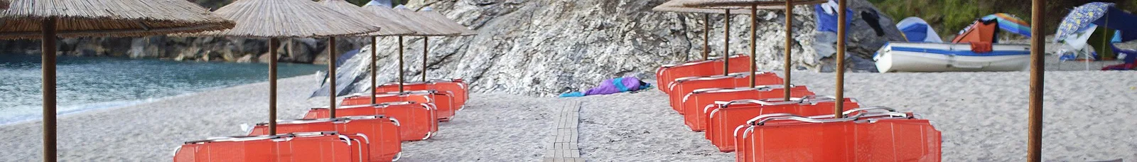
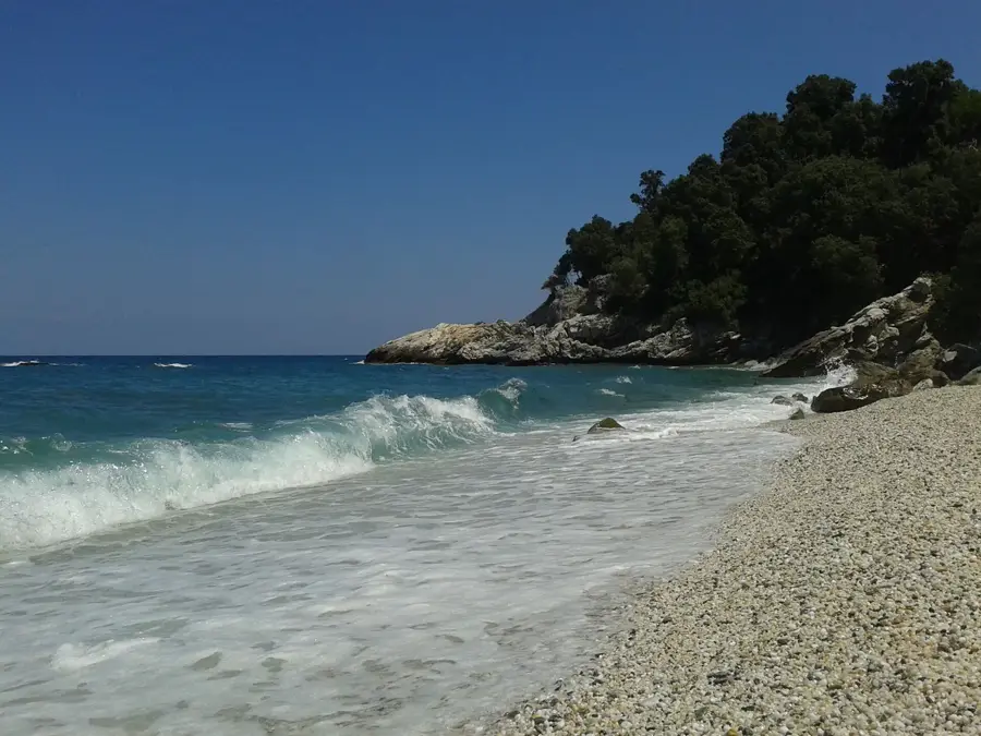
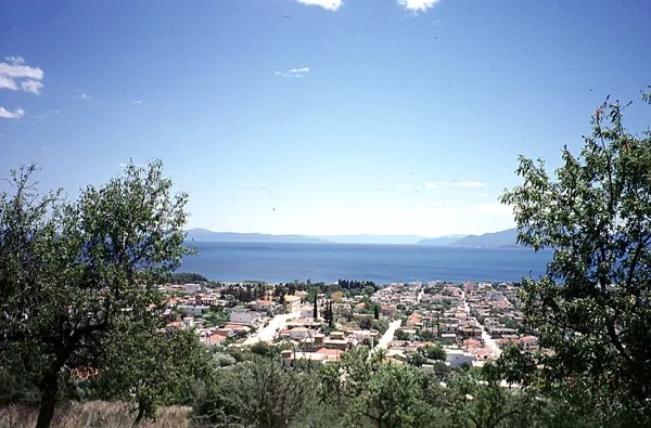
Situated in the eastern part of central Greece, Magnesia combines the urban infrastructure of its capital, Volos, with the dense forests of Mount Pelion. The region serves as a geographical bridge between the Pagasetic Gulf and the open Aegean Sea. Traditional villages with slate-roofed houses are scattered across the mountain slopes, reflecting centuries-old local architecture. The eastern coastline facing the Aegean is rocky, yielding to specific sections of shoreline. The most notable locations include the stretches at Agios Ioannis, Papa Nero, and Agioi Saranta, which feature white pebbles and clear waters. Further north, the coastal settlement of Chorevto serves as the historical port for the nearby mountain village of Zagora. Additional coastal points such as Plaka, Parisaina, Paralia Brianou, and Elitsa Beach offer varied geographical layouts, often surrounded by lush vegetation that extends almost to the water. The regional economy remains closely tied to agricultural production in the Pelion area and maritime activities originating from the port of Volos.
- Location: Greece
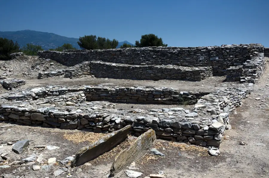
- Top sights: Karnagio · Kalamies
- Nearby: Portaria (10 km)
- Population: ~1.751
Best time to visit & climate
The most pleasant time to visit is May, Jun, Sep.
| Jan | Feb | Mar | Apr | May | Jun | Jul | Aug | Sep | Oct | Nov | Dec | |
|---|---|---|---|---|---|---|---|---|---|---|---|---|
| Avg °C | 9 | 10 | 12 | 14 | 19 | 24 | 26 | 27 | 23 | 19 | 15 | 11 |
| Rain mm | 53 | 45 | 53 | 33 | 35 | 31 | 28 | 19 | 47 | 52 | 48 | 64 |
Geography
Facts
- Thessaly region
- Mount Pelion
- Pagasetic Gulf
- City of Volos
- Agios Ioannis area
- Papa Nero coast
- Chorevto port
- Aegean shoreline
Explore nearby
Notable places around
Route planner — Car & Motorhome
Where do you start? We build the route here, with stops and country notes along the way.
© OpenStreetMap contributors · OpenRouteService
Sights in the town Magnesia (2)
Frequently asked questions
What is the largest city in Magnesia?
What can you do in Mount Pelion?
What is Volos culinarily famous for?
Are there ancient sites in the region?
How to get from Mount Pelion to the beaches?
Magnesia: where is it located?
Magnesia: what is there to see?
Magnesia: when is the best time to visit?
Magnesia: why is it worth visiting?

Nearby cities
More places