Plizio Visual Lab
Mount Paiko
Weather…
Water temperature…
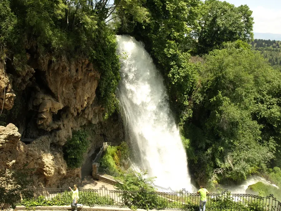
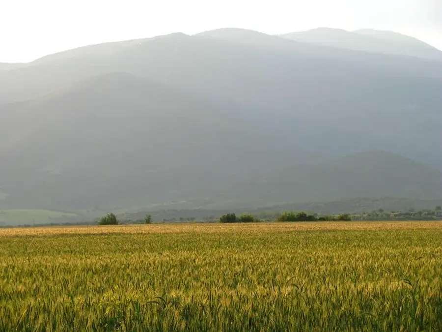
Mount Paiko stretches across the border of the Pella and Kilkis regional units in Central Macedonia, peaking at 1,650 meters at Gola Tsuka. Unlike many of Greece's more arid ranges, Paiko is distinguished by its exceptional water wealth, featuring numerous springs, streams, and the lively Emerald Lake (Smaragdenia Limni). Its slopes are blanketed with dense forests of beech, oak, and chestnut, making it one of the greenest mountain areas in the country. The region surrounding the mountain is famous for its long tradition of viticulture, particularly in the Goumenissa area, which produces renowned PDO red wines. Historically, the mountain served as a strategic stronghold during the Macedonian Struggle and World War I, with several monuments in the area marking these events. Geologically, the massif is composed of limestone and schist, a combination that facilitates its numerous water flows. The mountain's relatively gentle relief makes it good for family-friendly hiking and nature observation. Currently, Paiko is an ecologically protected area, offering various opportunities for sustainable rural tourism.
- Location: Greece
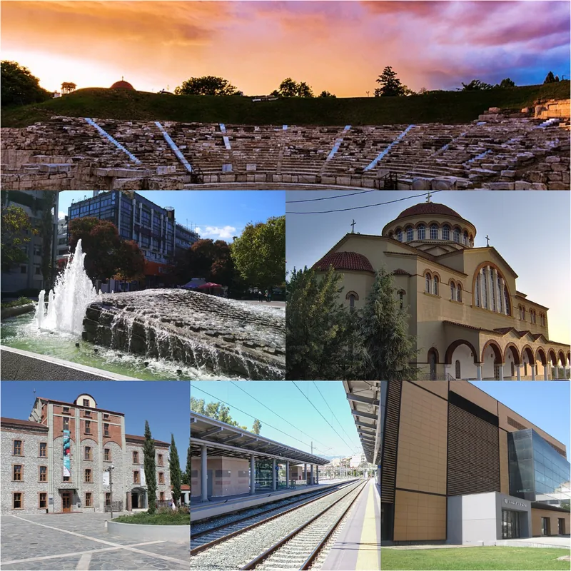
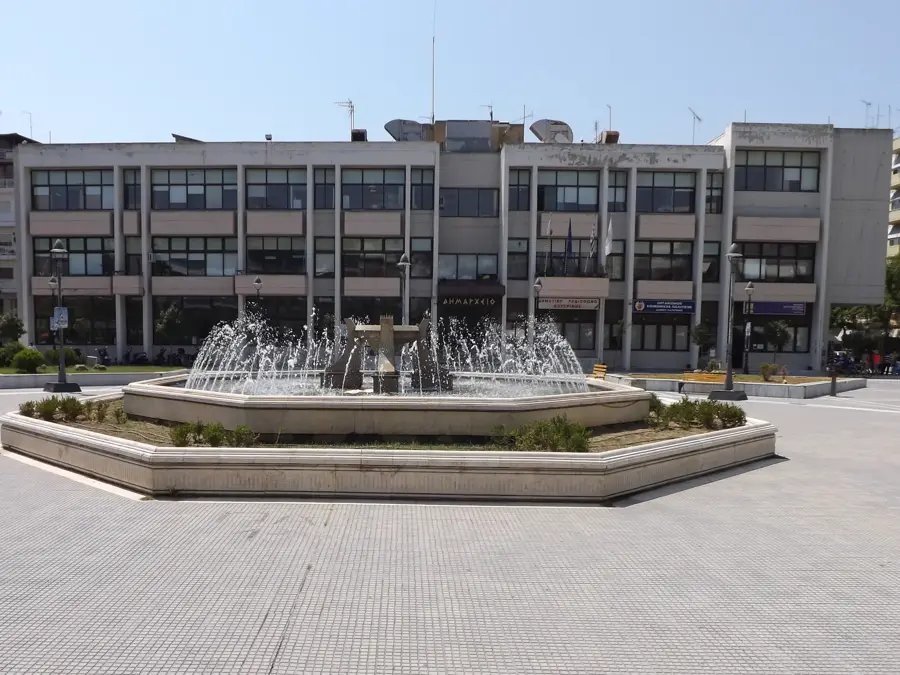
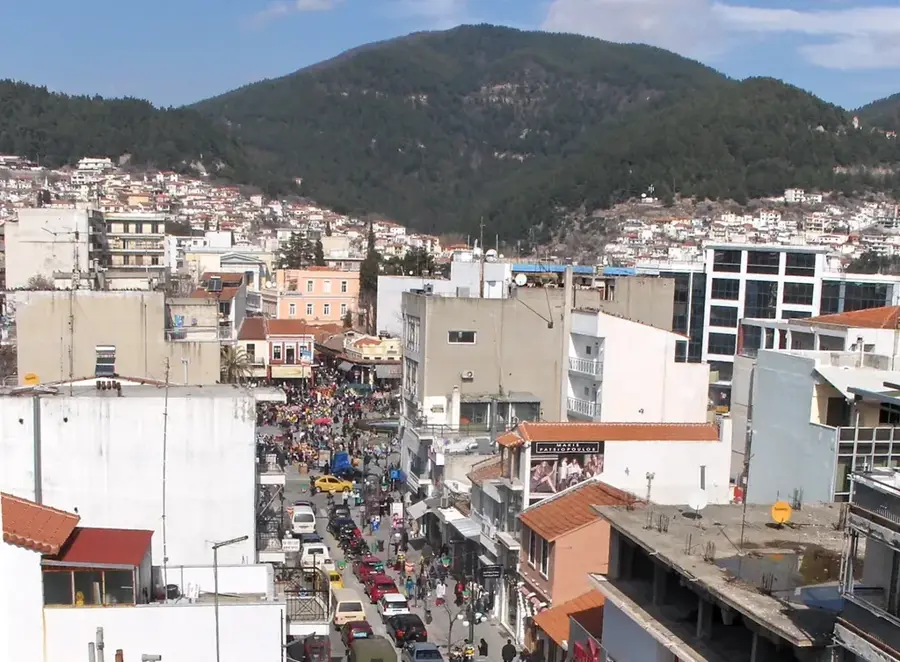
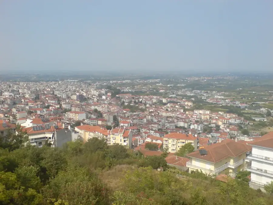
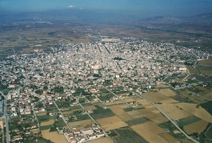
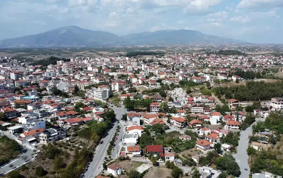
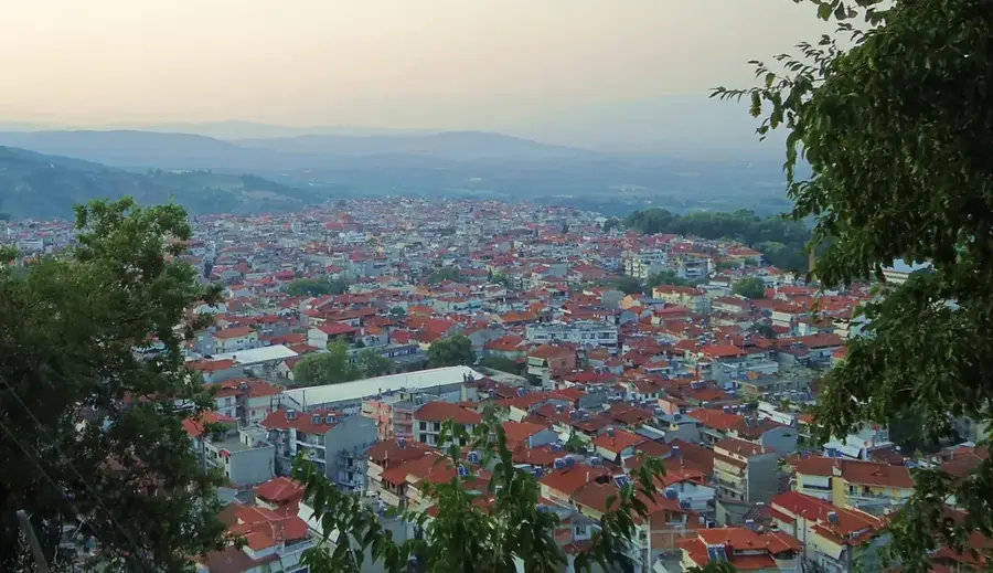
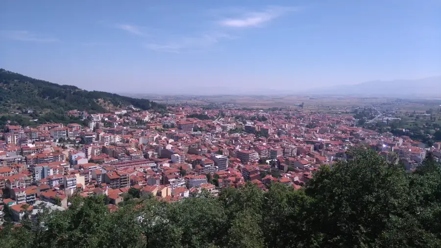
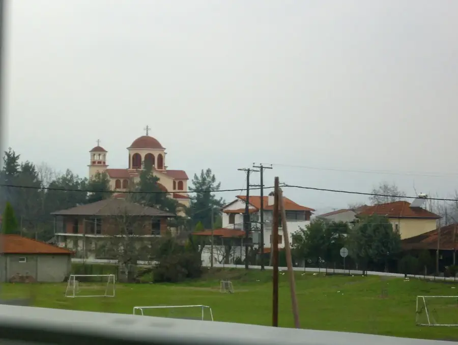
- Nearby: Giannitsa (24 km)
Best time to visit & climate
The most pleasant time to visit is May, Jun, Sep.
| Jan | Feb | Mar | Apr | May | Jun | Jul | Aug | Sep | Oct | Nov | Dec | |
|---|---|---|---|---|---|---|---|---|---|---|---|---|
| Avg °C | 2 | 4 | 8 | 13 | 18 | 24 | 27 | 27 | 21 | 15 | 9 | 4 |
| Rain mm | 52 | 45 | 53 | 51 | 59 | 53 | 38 | 37 | 52 | 59 | 53 | 66 |
📋 Practical info
Geography
Facts
- Highest peak Gola Tsuka reaches 1,650 meters.
- Features the man-made Emerald Lake near Koupa.
- Adjacent to the famous Goumenissa wine-producing region.
- One of the most water-rich mountains in Central Macedonia.
- Dominated by vast chestnut and beech forest ecosystems.
- Served as a key battleground during the First World War.
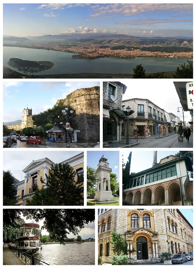
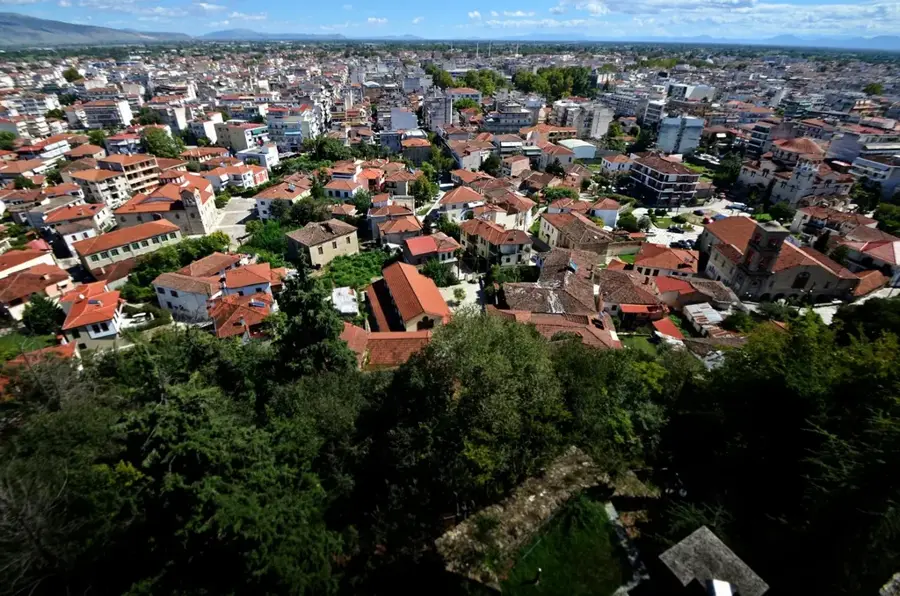
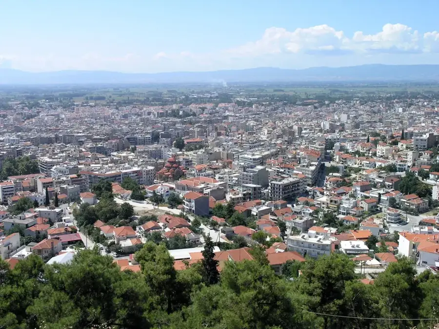
Explore nearby
Notable places around
Route planner — Car & Motorhome
Where do you start? We build the route here, with stops and country notes along the way.
© OpenStreetMap contributors · OpenRouteService
Sights nearby
Frequently asked questions
Where is Mount Paiko located?
What is the region at the foot of the mountain known for?
What types of forests are found on Paiko?
Are there water sources on Paiko?
Is Paiko a high mountain?
Mount Paiko: where is it located?
Mount Paiko: when is the best time to visit?
Mount Paiko: why is it worth visiting?

Nearby cities