Plizio Visual Lab
Kalymnos
ℹ️Practical info — Kalymnos
▾
🌤 Weather — 5 days
📍 Nearby
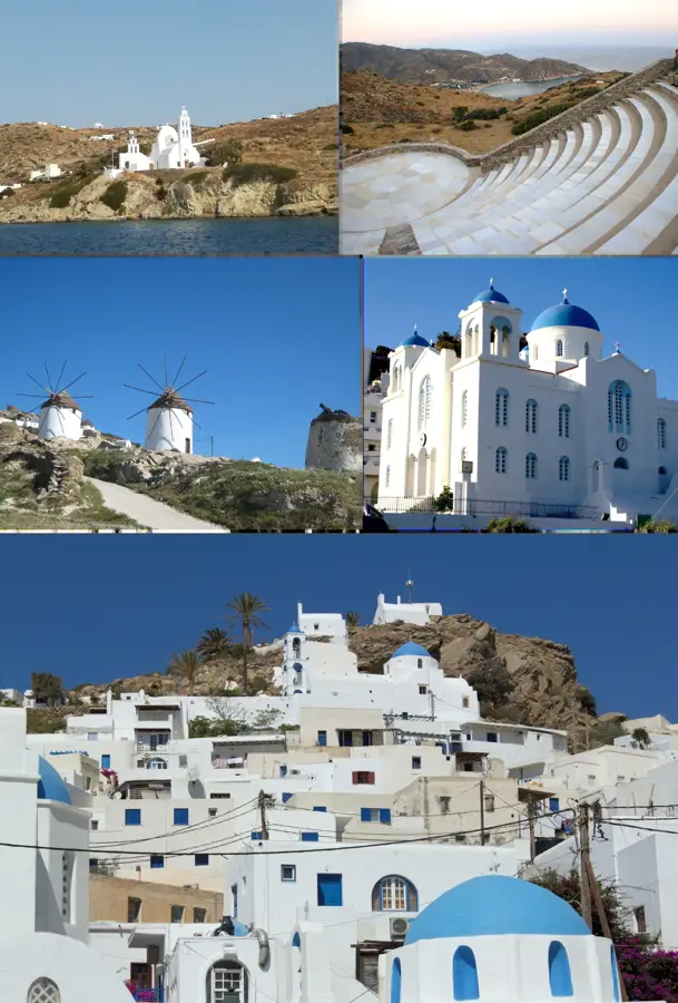
Sights nearby
💡 Tips
- If you are coming for rock climbing, the best seasons are spring and autumn to avoid the intense summer heat.
- Rent a scooter to easily navigate the narrow coastal roads and reach the climbing sectors or secluded beaches.
- Take a small boat over to the car-free island of Telendos for a quiet afternoon; it’s just a 10-minute ride from Myrties.
- The ferries from Kos to Kalymnos run frequently, but can be bumpy on windy days, so take precautions if prone to seasickness.
🍽 Food
Slow-cooked lamb stuffed with rice and herbs, traditionally baked in a clay pot. Look for it in family-run tavernas on Sundays.
A unique dish of sea squirts (fouskes) preserved in seawater and olive oil, historically eaten by sponge divers. Try it at a seafood meze spot in Pothia.
Freshly grilled octopus and fish. Enjoy it at a waterfront taverna in the villages of Linaria or Massouri.
🛍 Shopping · 🧘 Quiet spots
Buy authentic, locally harvested sea sponges from the traditional workshops and shops along the harbor in Pothia.
Pick up a jar of the island's famous, aromatic thyme honey from a local grocery store.
A lush, green valley hidden amidst the arid landscape, ending in a narrow, fjord-like bay excellent for a peaceful stroll.
A remote and serene pebble beach located in a deep bay on the eastern side of the island.
Water temperature…
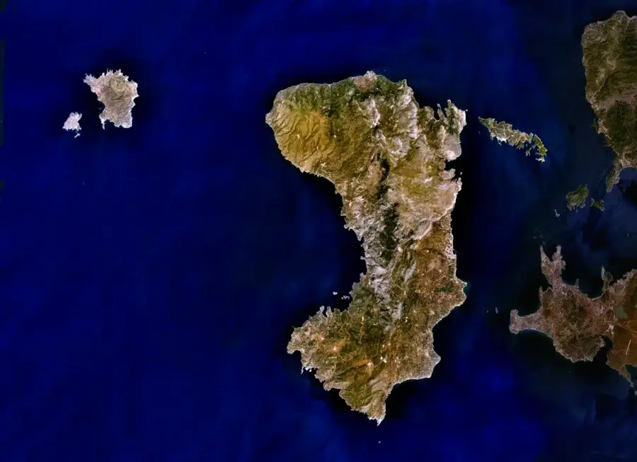
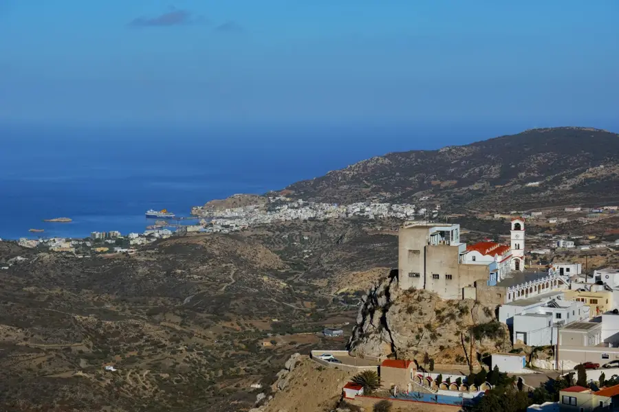
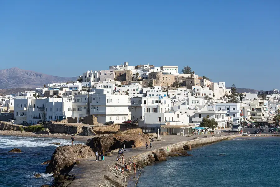
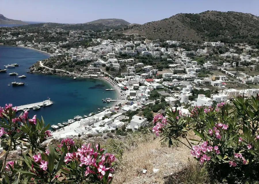
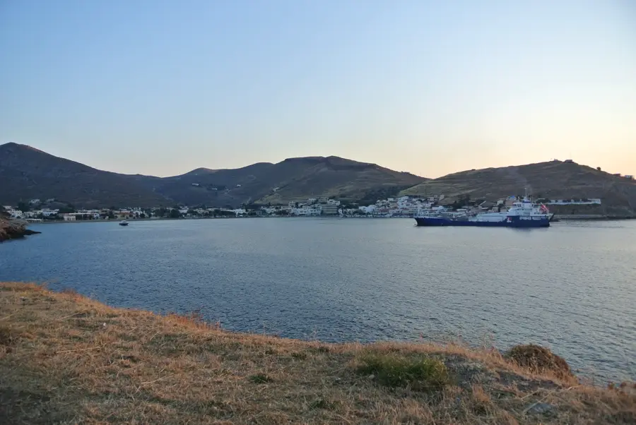
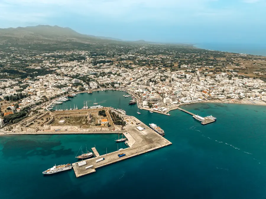
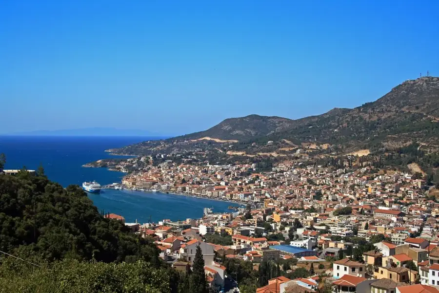
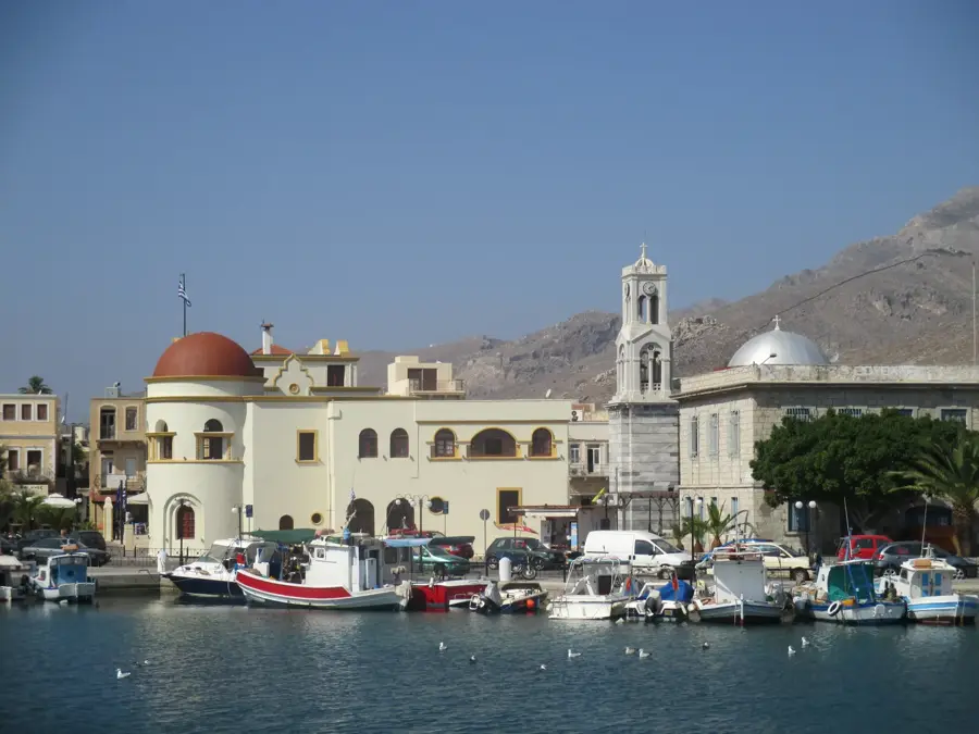
Located between Kos and Leros in the southeastern Aegean Sea, Kalymnos features a predominantly mountainous and rocky landscape. The island has a deep-rooted maritime history, with its residents historically traveling across the Mediterranean to harvest natural sea sponges. In recent decades, the island's steep limestone cliffs have transformed it into an international destination for sport climbing. The irregular coastline provides access to numerous natural bays and inlets. Prominent coastal spots include Plakes, Livadi, and Ag Konstantinos, which serve local residents and visitors alike. More isolated stretches, such as Agios Vasileios, Mamounia, and Tzanaki, present a rugged coastal geography typical of the Dodecanese. Other notable shoreline segments encompass Magazaki, Vatses, Mikres Vatses, and Kaminakia, each characterized by clear waters and rocky backdrops. The areas of Steno and The Steno represent specific geographic narrows or coastal passes. The primary harbor at Pothia acts as the economic center, displaying colorful amphitheatrical architecture around the bay.
- Location: Greece
- Top sights: Agios Basileios · Tzanaki · Brephiko Nekrotapheio Astupalaias
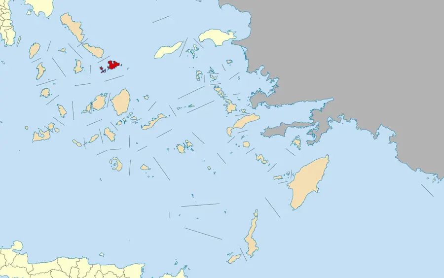
- Nearby: Astypalaia (5 km)
- Population: ~1.129
Best time to visit & climate
The most pleasant time to visit is May, Jun, Oct.
| Jan | Feb | Mar | Apr | May | Jun | Jul | Aug | Sep | Oct | Nov | Dec | |
|---|---|---|---|---|---|---|---|---|---|---|---|---|
| Avg °C | 14 | 14 | 15 | 17 | 20 | 23 | 25 | 26 | 24 | 21 | 18 | 16 |
| Rain mm | 115 | 91 | 52 | 31 | 18 | 5 | 2 | 2 | 17 | 42 | 76 | 110 |
Geography
Facts
- Dodecanese archipelago
- Sponge-diving heritage
- Limestone climbing routes
- Southeastern Aegean Sea
- Vatses shoreline
- Kaminakia coastal area
- Plakes spot
- Pothia harbor
Explore nearby
Notable places around
Route planner — Car & Motorhome
Where do you start? We build the route here, with stops and country notes along the way.
© OpenStreetMap contributors · OpenRouteService
Sights in the town Kalymnos (4)
Frequently asked questions
What is Kalymnos world-famous for?
When is the best time for rock climbing?
How to reach Kalymnos?
Is there a museum about sponges?
What is Telendos island?
Kalymnos: where is it located?
Kalymnos: what is there to see?
Kalymnos: when is the best time to visit?
Kalymnos: why is it worth visiting?

Nearby cities