Plizio Visual Lab
Karpathos
ℹ️Practical info — Karpathos
▾
🌤 Weather — 5 days
📍 Nearby
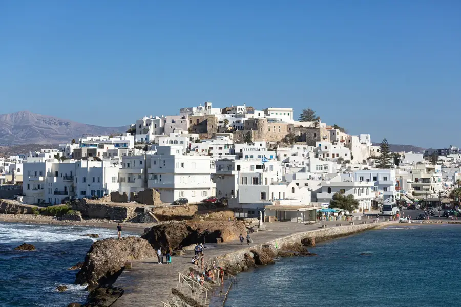
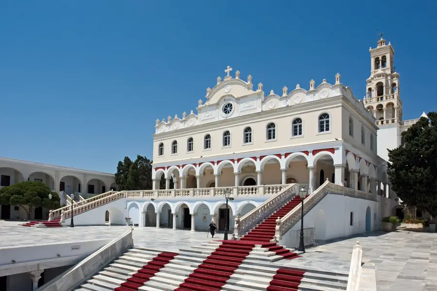
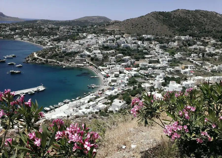
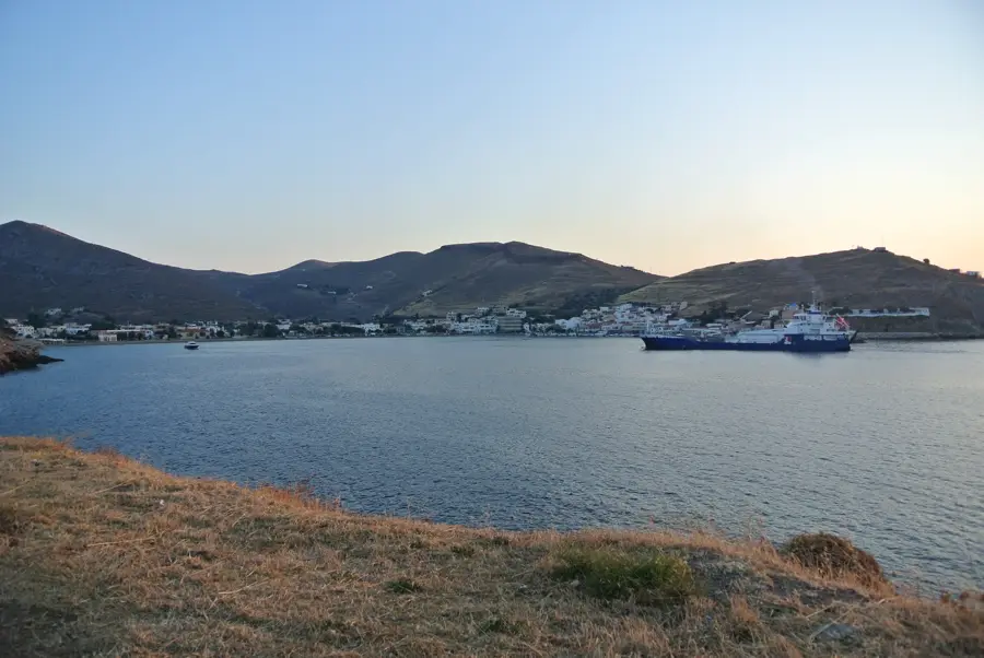
Sights nearby
💡 Tips
- Rent a car with good engine power, as the island is mountainous and strong Meltemi winds are common.
- Visit Olympos village early in the morning before the tour buses arrive.
- Carry enough cash, as ATMs are scarce in remote northern villages.
- If you plan to hike, start early; trails offer little shade.
🍽 Food
Handmade pasta with onions and local cheese, best tried in traditional tavernas in Olympos or Diafani.
Head to the small fishing village of Finiki on the west coast for the daily catch.
A larger, distinctively shaped version of the classic sweet, available in local bakeries.
🛍 Shopping · 🧘 Quiet spots
Traditional hand-woven fabrics and embroidered items sold by local women in Olympos.
Look for locally produced honey in small village shops.
Arrive early to enjoy this memorable pine-fringed cove in peace.
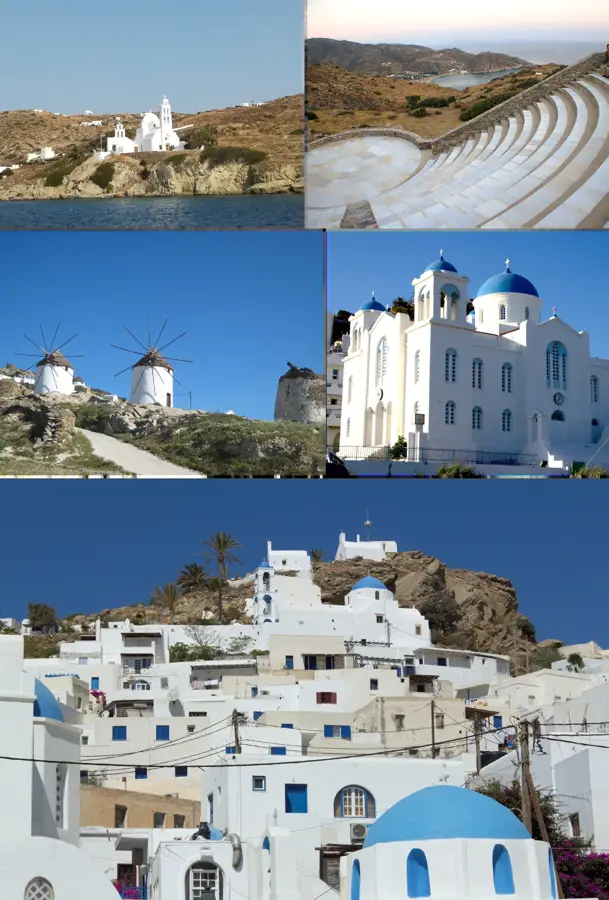
A car-free village first-rate for a quiet sunset walk with views over the sea.
Water temperature…
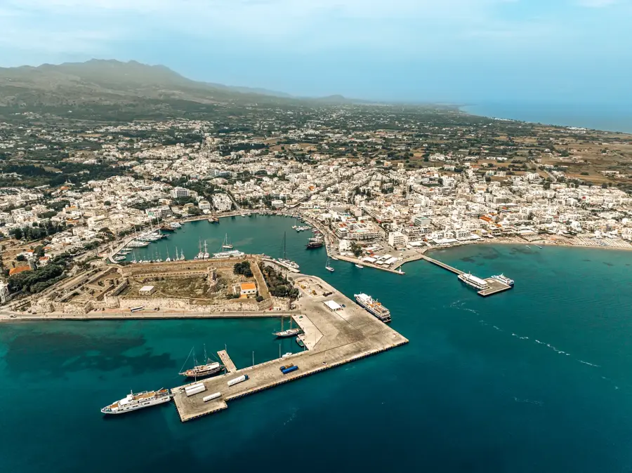
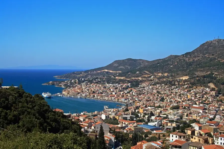
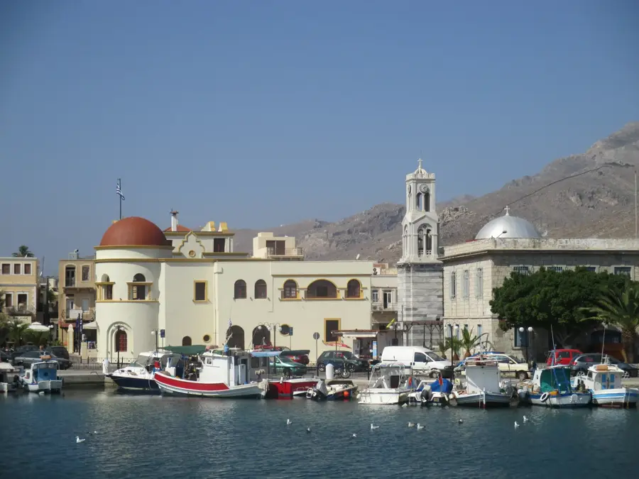
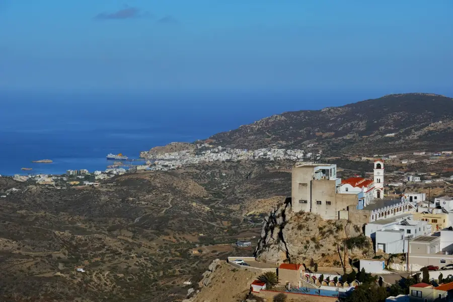
Positioned halfway between Rhodes and Crete, Karpathos is an elongated island marked by a dramatic central mountain range. This geographical barrier historically isolated the northern villages, such as Olympos, allowing them to preserve archaic dialects, traditional dress, and distinct musical customs. The southern part of the island is relatively flatter and hosts the main port and administrative center, Pigadia. The island's coast is heavily indented, providing a variety of sandy and pebbly environments. The areas around Amopi, including Little Amoopi Beach and Votsalakia beach, are centrally located and well-integrated into the local infrastructure. Nearby segments like Kastellia Beach and Lakki Beach offer protected coves well-suited for swimming. Further along the shoreline, visitors can find distinct geographical settings such as Fokia, Christou Pigadi, Damatria, and Makrygialos. These areas are characterized by clear waters and are often influenced by the Meltemi winds, which also make the island a notable location for international windsurfing competitions. Agriculture and fishing continue to supplement the local economy alongside seasonal tourism.
- Location: Greece
- Top sights: Kali Limni · Lares
- Nearby: Volada (8 km)
- Population: ~7.790
Best time to visit & climate
The most pleasant time to visit is May, Jun, Oct.
| Jan | Feb | Mar | Apr | May | Jun | Jul | Aug | Sep | Oct | Nov | Dec | |
|---|---|---|---|---|---|---|---|---|---|---|---|---|
| Avg °C | 14 | 14 | 15 | 17 | 20 | 23 | 25 | 26 | 24 | 22 | 19 | 16 |
| Rain mm | 113 | 88 | 49 | 29 | 18 | 6 | 2 | 3 | 17 | 47 | 65 | 109 |
Geography
Facts
- Dodecanese islands
- Between Rhodes and Crete
- Olympos mountain village
- Amopi coastal area
- Meltemi winds
- Pigadia main port
- Makrygialos shore
- Kastellia bay
Explore nearby
Notable places around
Route planner — Car & Motorhome
Where do you start? We build the route here, with stops and country notes along the way.
© OpenStreetMap contributors · OpenRouteService
Frequently asked questions
What is the most traditional village in Karpathos?
How is the weather for windsurfing?
Is there an airport on the island?
Which are the most beautiful beaches?
Is Karpathos known for mass tourism?
Karpathos: where is it located?
Karpathos: what is there to see?
Karpathos: when is the best time to visit?
Karpathos: why is it worth visiting?

Nearby cities