Plizio Visual Lab
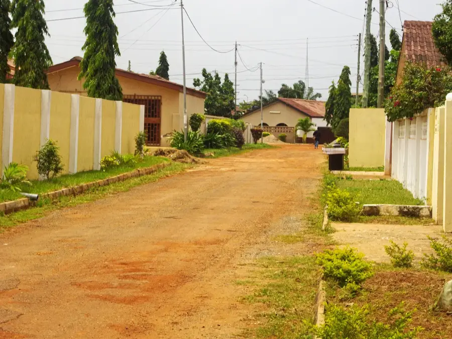
Akwapim Plains

Weather…
Water temperature…
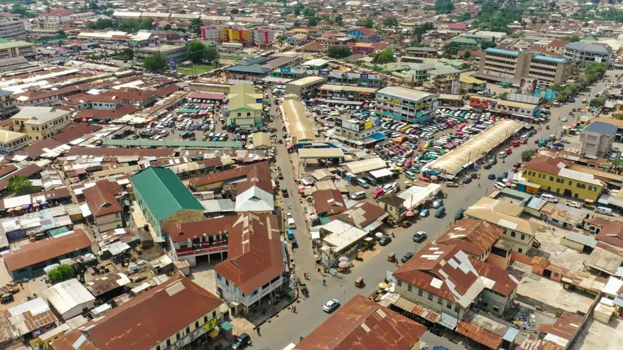
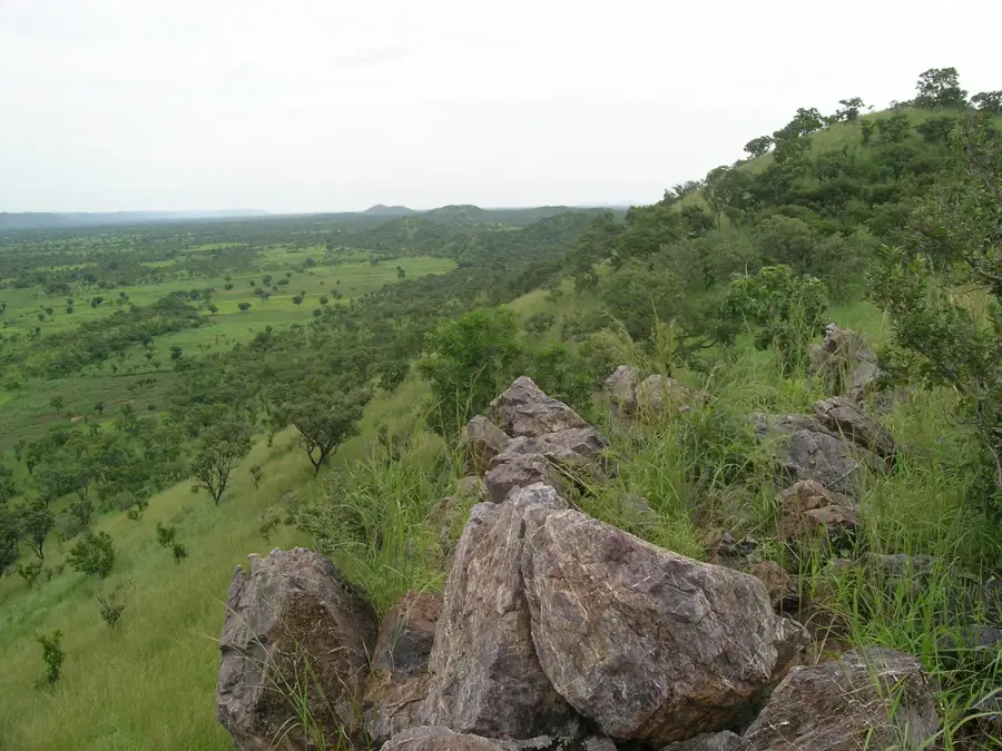
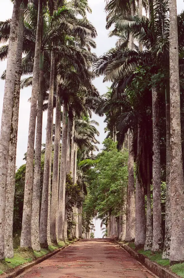
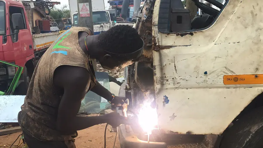
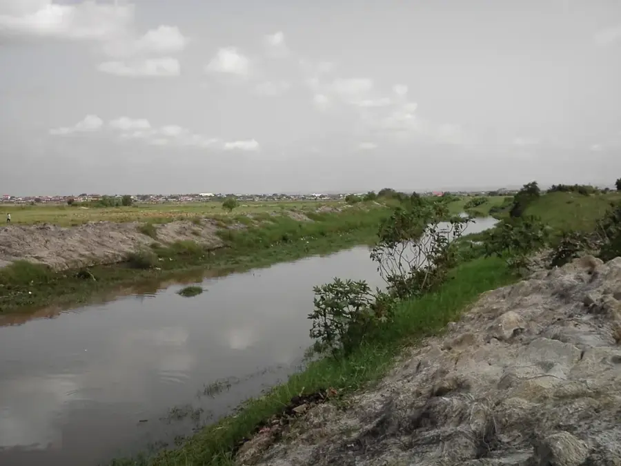
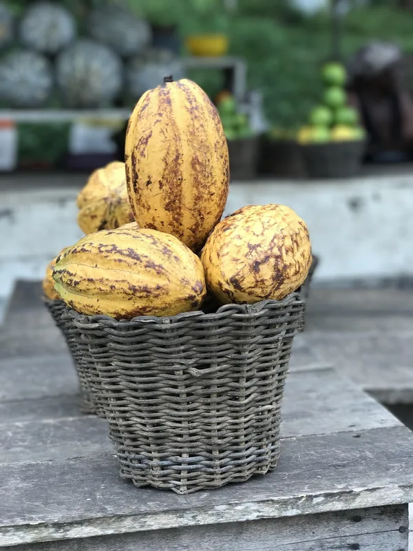
The Akwapim Plains extend south of the Akwapim-Togo ranges in southeastern Ghana, forming a gently undulating landscape near the capital city, Accra. Geologically, these plains are part of the broader Accra Plains and consist primarily of Precambrian metamorphic rocks belonging to the Dahomeyan System. The region holds exceptional historical significance as the site where Tetteh Quarshie successfully established Ghana's first cocoa farms in the late 19th century, fundamentally reshaping the national economy. The vegetation is mostly coastal savanna, characterized by scattered baobab trees and scrubland adapted to seasonal dry periods. Today, the plains serve as a major expansion corridor for the Greater Accra Metropolitan Area, hosting numerous industrial zones and residential developments. To the north, they are bounded by the abrupt rise of the Akwapim Hills, which form a natural geographic barrier. Despite increasing urbanization, livestock rearing remains a traditional and vital economic activity in the more rural sections of the plains.
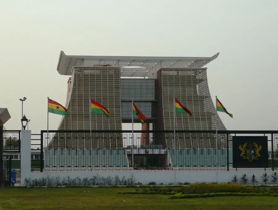
- Location: Ghana
- Top sights: Jubilee Cocoa Farm · Tetteh Quarshie Cocoa Farm
- Nearby: Aburi (6 km)
Best time to visit & climate
The most pleasant time to visit is Jan, Aug, Dec.
| Jan | Feb | Mar | Apr | May | Jun | Jul | Aug | Sep | Oct | Nov | Dec | |
|---|---|---|---|---|---|---|---|---|---|---|---|---|
| Avg °C | 28 | 28 | 28 | 27 | 27 | 25 | 25 | 24 | 25 | 26 | 27 | 27 |
| Rain mm | 18 | 38 | 93 | 115 | 159 | 182 | 118 | 68 | 141 | 158 | 56 | 18 |
📋 Practical info
Geography
Facts
- Located south of the Akwapim-Togo mountain range
- Geologically part of the Dahomeyan System
- Site of Ghana's first cocoa farm by Tetteh Quarshie
- Dominated by coastal savanna vegetation
- Key expansion zone for the Greater Accra region
- Traditional livestock rearing is still common
Explore nearby
Notable places around
Route planner — Car & Motorhome
Where do you start? We build the route here, with stops and country notes along the way.
© OpenStreetMap contributors · OpenRouteService
Sights in the town Akwapim Plains (2)
Sights nearby
Frequently asked questions
When is the best time to visit?
Is the region family-friendly?
What clothing should one wear?
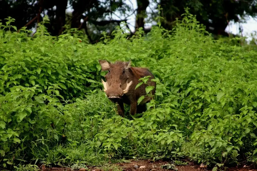
Are there wild animals there?
How do you reach the Akwapim Plains?
Akwapim Plains: where is it located?
Akwapim Plains: what is there to see?
Akwapim Plains: when is the best time to visit?
Akwapim Plains: why is it worth visiting?

Nearby cities


History & landmarks
Nature
More places