Plizio Visual Lab
Pra River
Weather…
Water temperature…
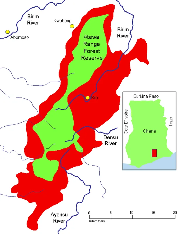
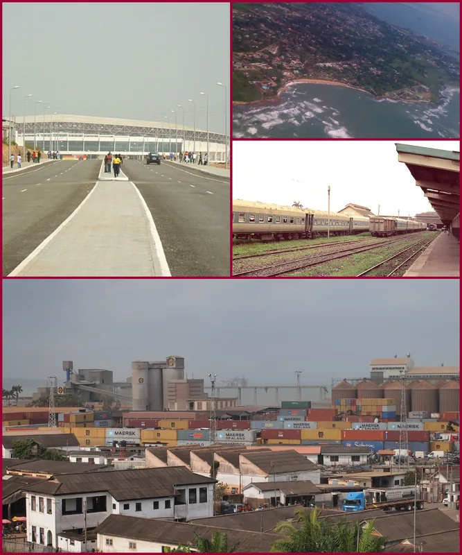
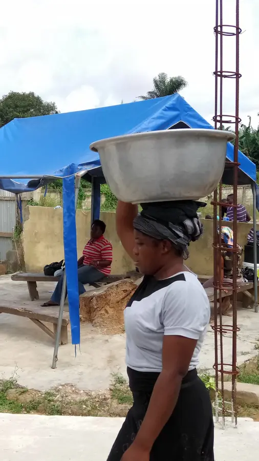
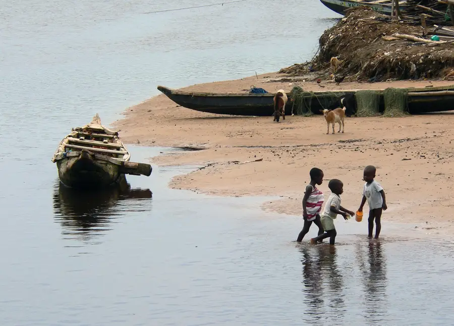
The Pra River is one of the most significant water bodies in southern Ghana, draining an expansive region renowned for its mineral wealth and fertile agricultural land. It originates in the Kwahu Highlands and flows approximately 240 kilometers southward, eventually reaching the Gulf of Guinea at Shama. Historically, the Pra served as the strategic boundary between the Ashanti and Fante ethnic groups and played a pivotal role during the Anglo-Asante wars of the 19th century. The river basin is the heart of Ghana's cocoa and timber production, but this economic importance has come with substantial ecological costs. In recent years, illegal gold mining, locally termed 'galamsey', has severely degraded the water quality, leading to extreme turbidity and chemical contamination. Despite these environmental issues, the river remains a crucial source for local fishing and domestic water supply for numerous settlements. Ongoing government interventions aim to curb illegal mining and restore the environmental health of this historically and economically vital waterway.
- Location: Ghana
- Nearby: Abuesi (15 km)
Best time to visit & climate
The most pleasant time to visit is Jan, Aug, Dec.
| Jan | Feb | Mar | Apr | May | Jun | Jul | Aug | Sep | Oct | Nov | Dec | |
|---|---|---|---|---|---|---|---|---|---|---|---|---|
| Avg °C | 27 | 28 | 28 | 27 | 27 | 26 | 25 | 24 | 25 | 26 | 27 | 27 |
| Rain mm | 34 | 56 | 118 | 155 | 239 | 259 | 106 | 44 | 99 | 166 | 92 | 40 |
📋 Practical info
Geography
Facts
- The total length of the Pra is about 240 kilometers.
- It empties into the Atlantic at the historic town of Shama.
- Primary tributaries are the Offin, Birim, and Oda rivers.
- The drainage basin covers an area of 22,106 km².
- The region is a major hub for gold mining in Ghana.
- Used as a strategic defensive line during the 19th century.
Explore nearby
Notable places around
Route planner — Car & Motorhome
Where do you start? We build the route here, with stops and country notes along the way.
© OpenStreetMap contributors · OpenRouteService
Sights in the town Pra River (1)
Sights nearby
Frequently asked questions
Where does the Pra River estuary?
What is the Pra basin known for?
Can you visit the estuary?
What is the water quality like?
Are there boat excursions?
Pra River: where is it located?
Pra River: when is the best time to visit?
Pra River: why is it worth visiting?

Nearby cities
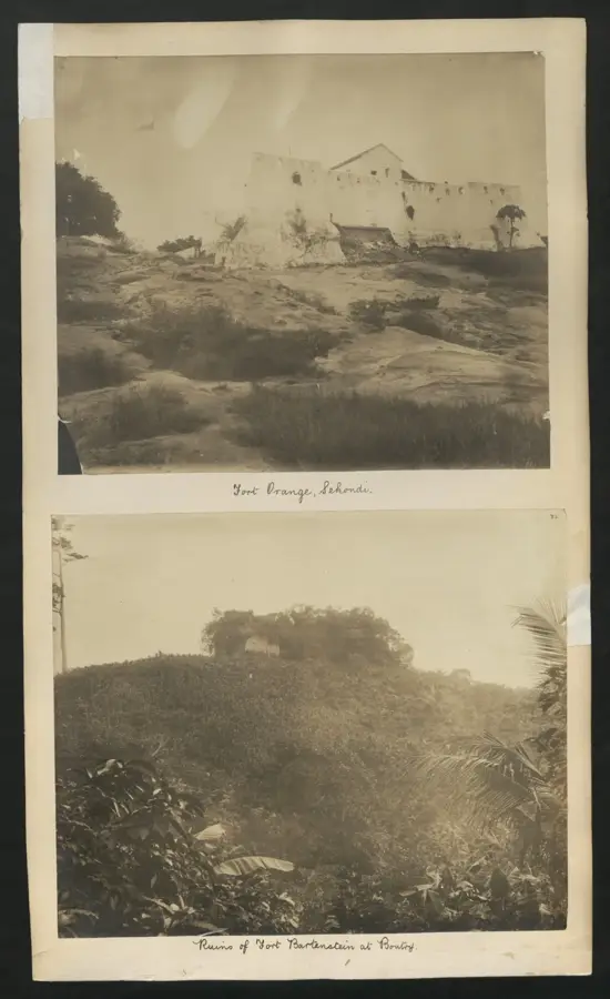
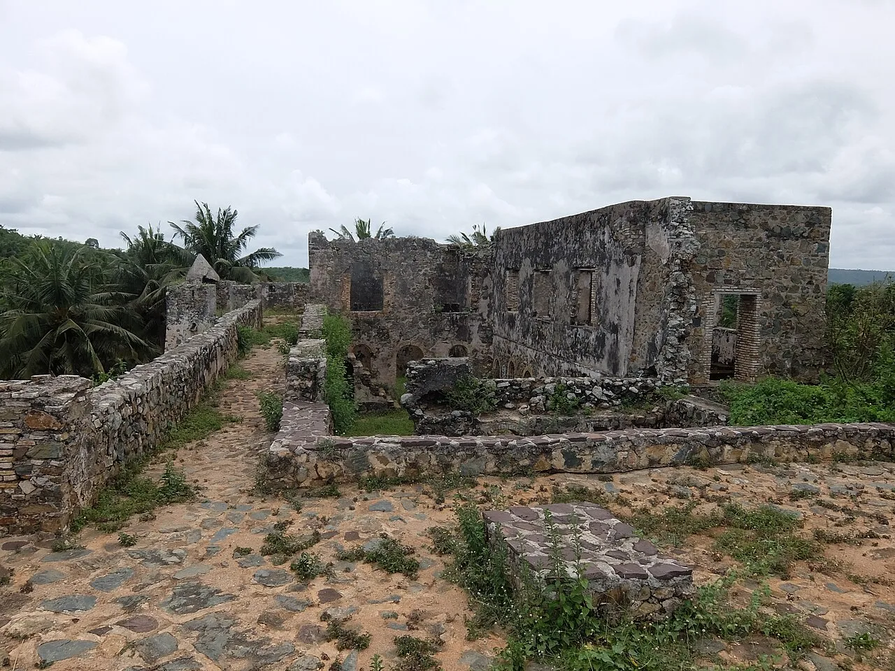
History & landmarks
More places