Plizio Visual Lab
Taifa
ℹ️Practical info — Taifa
▾
🌤 Weather — 5 days
📍 Nearby
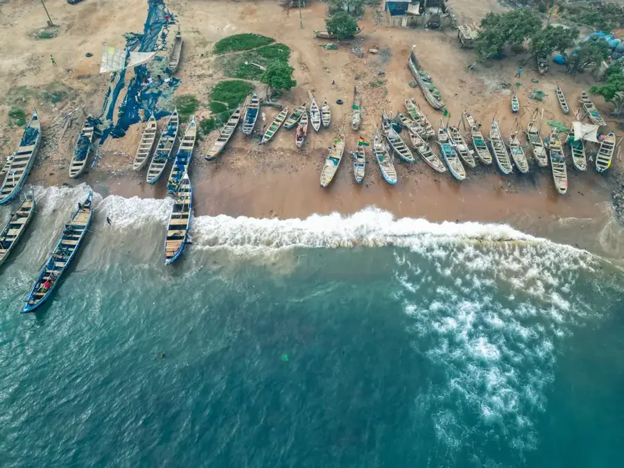
Sights nearby
💡 Tips
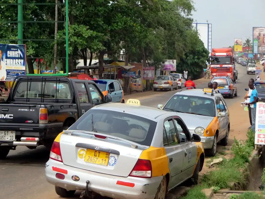
- Navigate Taifa using 'trotros' (minibuses), which are the most common way to reach central Accra.
- Traffic towards Accra is heavy in the mornings; plan your travel outside rush hours if possible.
- Carry small denominations of Ghanaian Cedis (GHS) for easier transactions at local stalls.
- Street food is a staple, but ensure it is served hot and from a busy vendor for freshness.
- The area can be lively at night; stick to well-lit main streets when walking after dark.
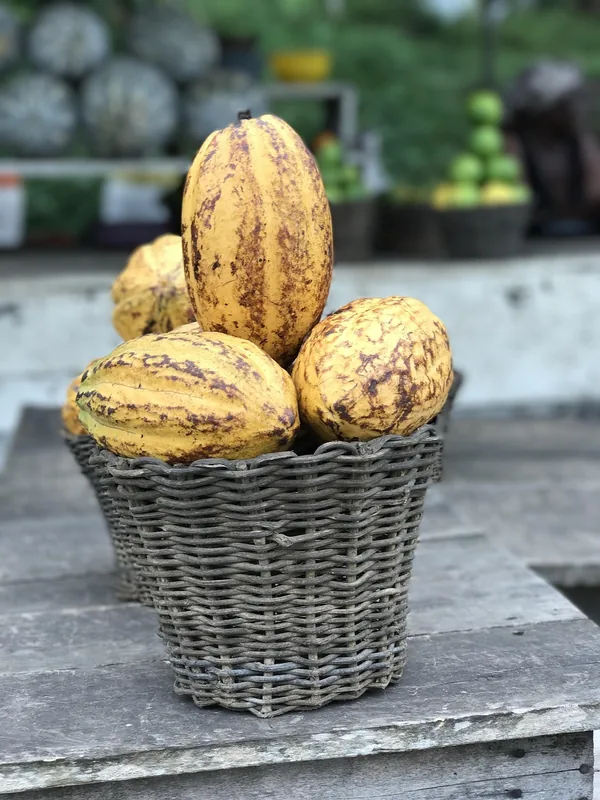
🍽 Food
A hearty mix of rice and beans, typically found at morning street food stands.
Try this iconic West African dish at local neighborhood 'chop bars'.
Spicy fried plantains, usually sold by roadside vendors in the evenings.
🛍 Shopping · 🧘 Quiet spots
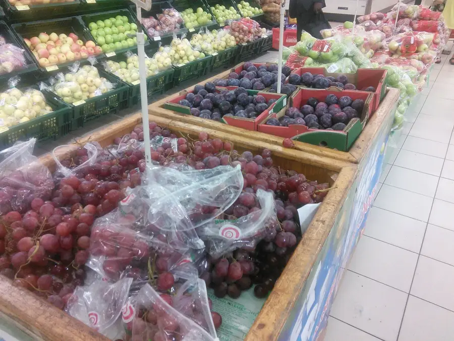
The central community market, good for fresh produce and daily necessities.
Great for picking up seasonal tropical fruits directly from vendors along the main roads.
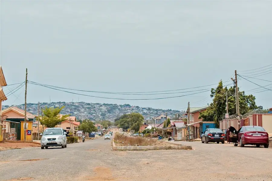
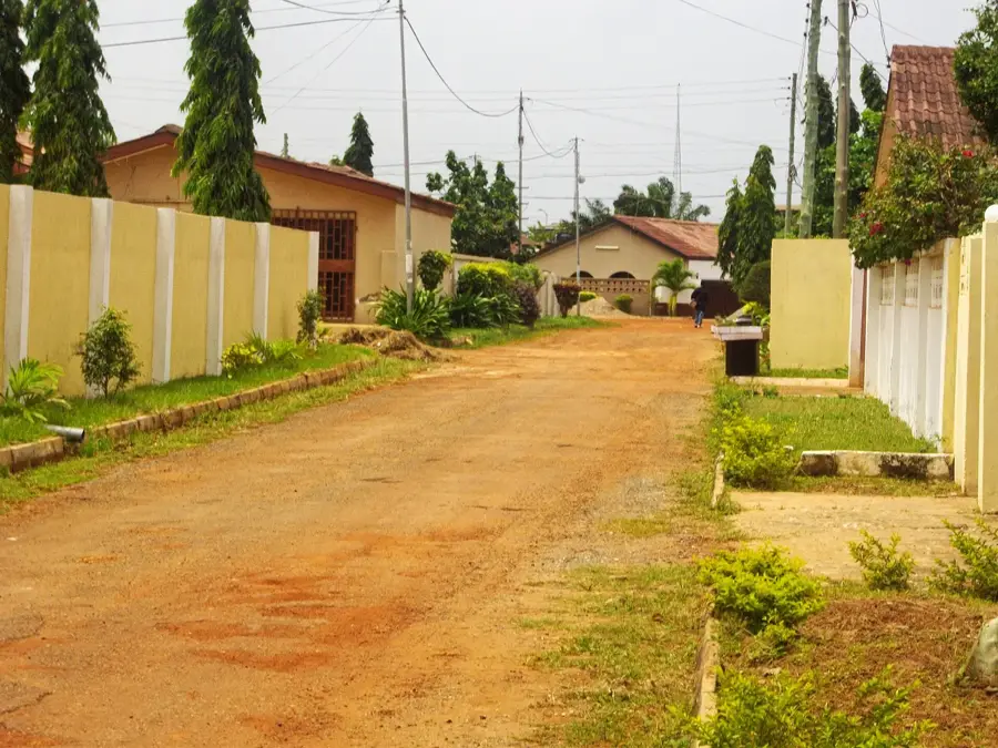
The residential lanes away from the main road offer a glimpse of calm daily life.
Often peaceful during weekdays and open for a quiet moment of reflection.
Water temperature…
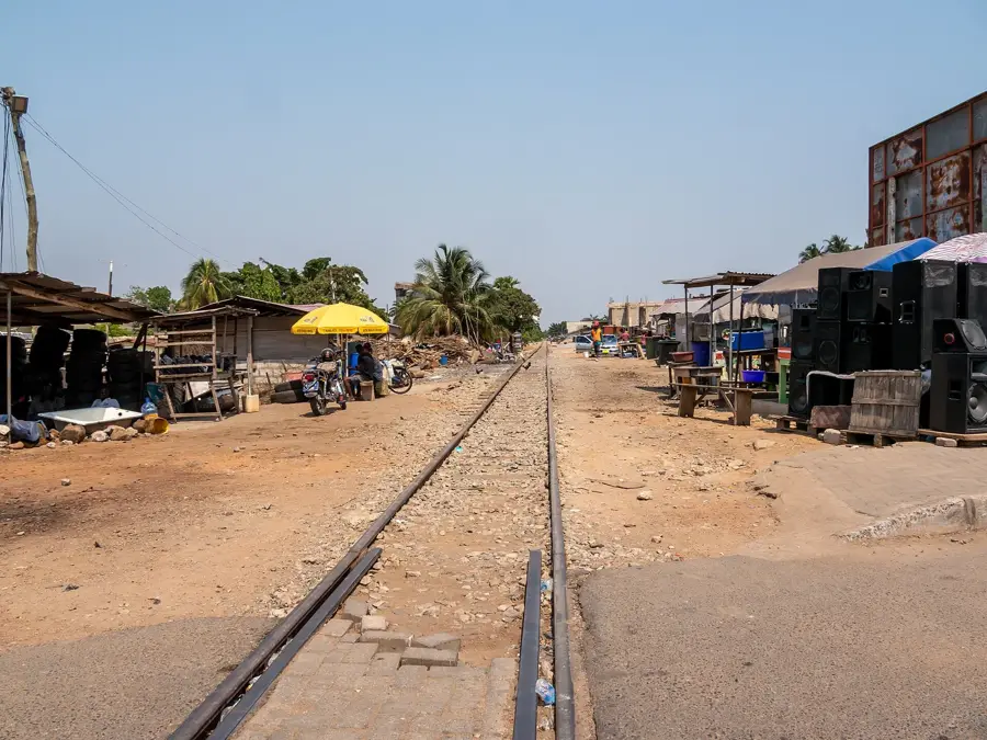
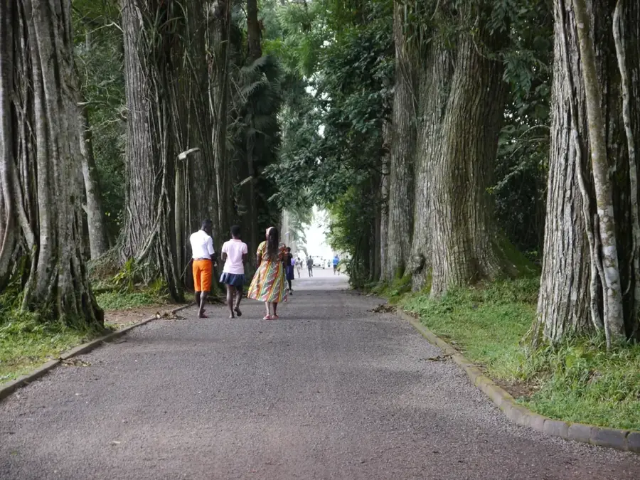
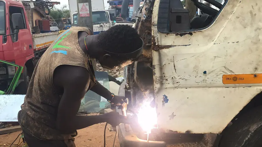
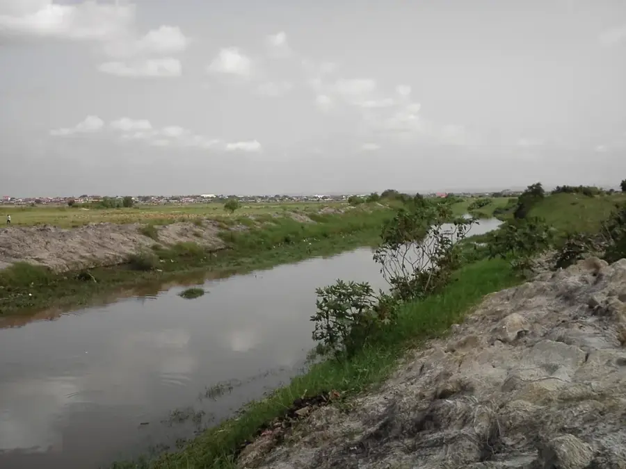
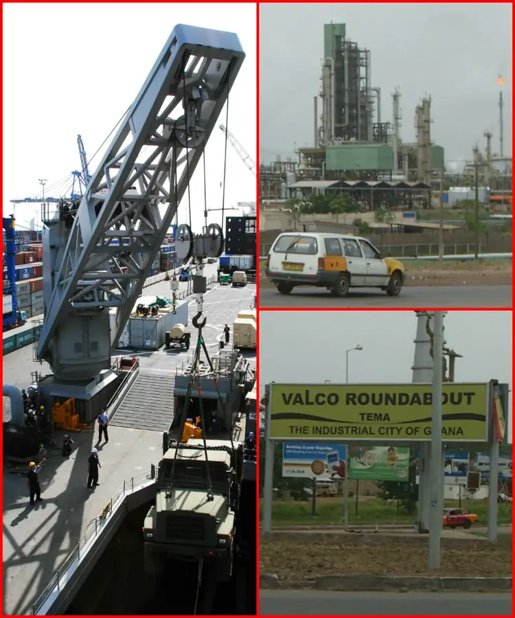
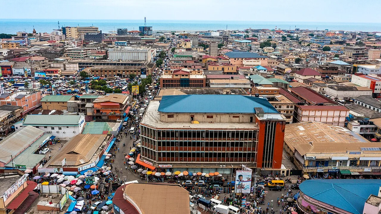
Taifa is a prominent residential suburb situated in the Ga East Municipal District within the Greater Accra Region of Ghana. Historically, Taifa emerged as a small settlement that expanded rapidly during the late 20th century as Accra's population surged and urban sprawl moved northward. The geography of the area is largely flat, providing a suitable terrain for the extensive residential developments that define the town today. Taifa's economy is predominantly based on the service sector, with numerous small businesses, markets, and retail shops catering to the local population. The town is well-connected to the capital by road and a station on the national railway line, making it a strategic location for commuters. In recent years, Taifa has seen improvements in public infrastructure, including schools and healthcare facilities, reflecting its status as a mature urban community.
- Location: Ghana
- Nearby: Madina (9 km)
- Population: ~42.623 (2023)
Best time to visit & climate
The most pleasant time to visit is Jan, Aug, Dec.
| Jan | Feb | Mar | Apr | May | Jun | Jul | Aug | Sep | Oct | Nov | Dec | |
|---|---|---|---|---|---|---|---|---|---|---|---|---|
| Avg °C | 27 | 28 | 28 | 28 | 27 | 26 | 25 | 24 | 25 | 26 | 27 | 27 |
| Rain mm | 22 | 44 | 104 | 134 | 196 | 197 | 91 | 40 | 102 | 149 | 64 | 25 |
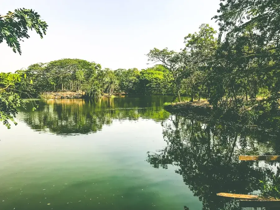
Geography
Facts
- Recorded a population of 68,917 inhabitants in the 2010 census.
- Part of the Ga East Municipal District, established by legislative instrument in 2004.
- Contains a station on the railway line connecting Accra and Kumasi.
- Located approximately 15 kilometers north of the center of Accra.
- Average elevation of the suburb is approximately 85 meters.
- Population density is estimated to exceed 5,000 persons per square kilometer.
Explore nearby
Notable places around
Route planner — Car & Motorhome
Where do you start? We build the route here, with stops and country notes along the way.
© OpenStreetMap contributors · OpenRouteService
Frequently asked questions
Where is Taifa located?
How do you get from Taifa to central Accra?
Are there local markets in Taifa?
Is Taifa a safe residential area?
Are there entertainment options?
Taifa: where is it located?
Taifa: when is the best time to visit?
Taifa: why is it worth visiting?

Nearby cities


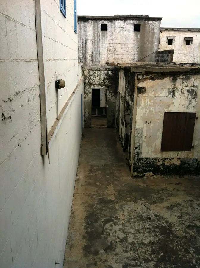

History & landmarks


More places