Plizio Visual Lab
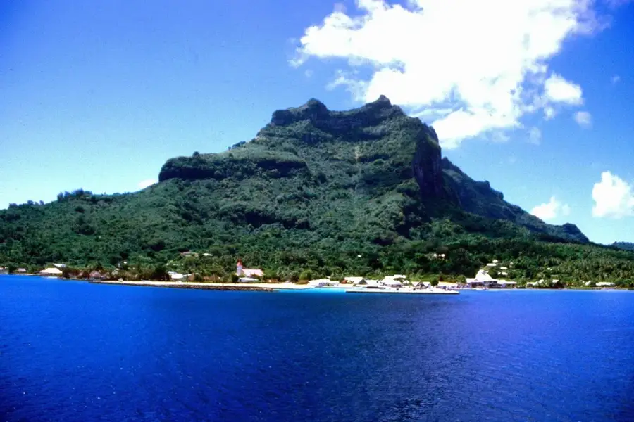
Mount Teurafaatiu

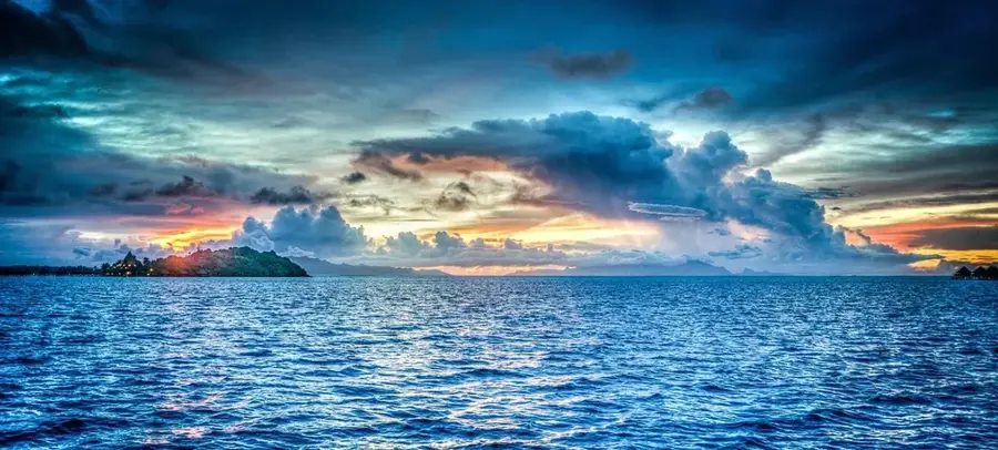
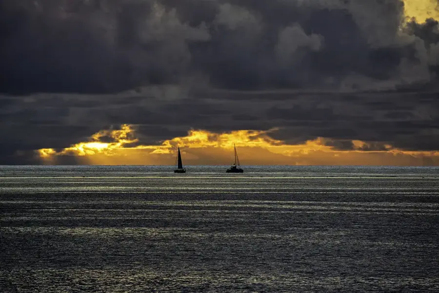
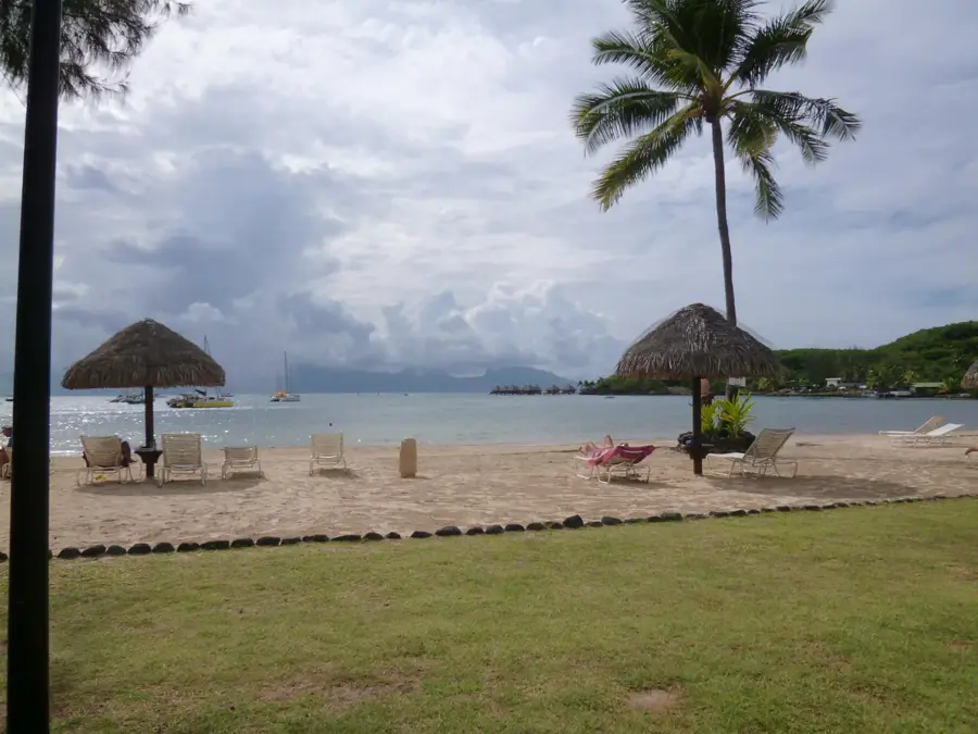
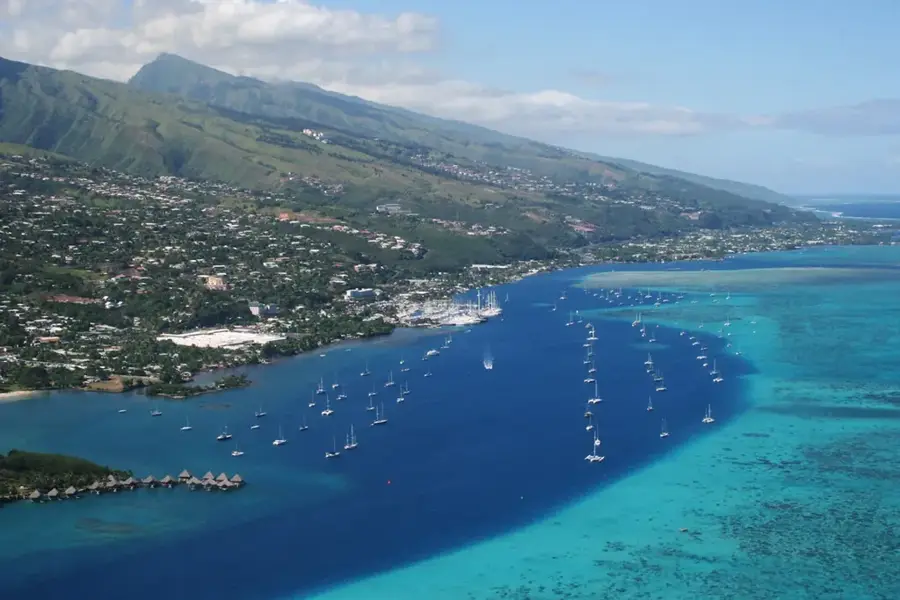
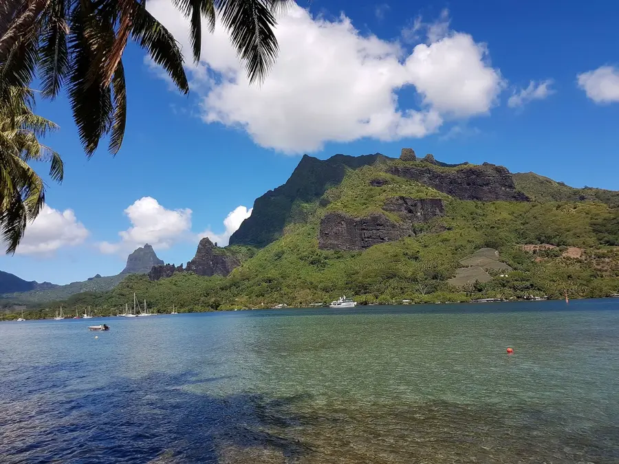
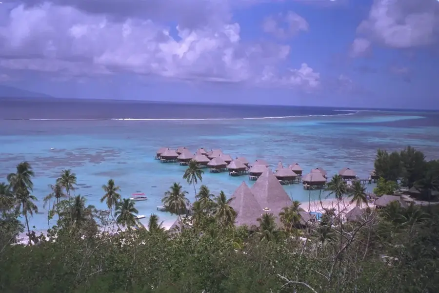
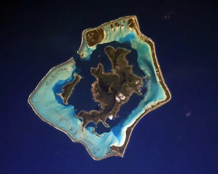
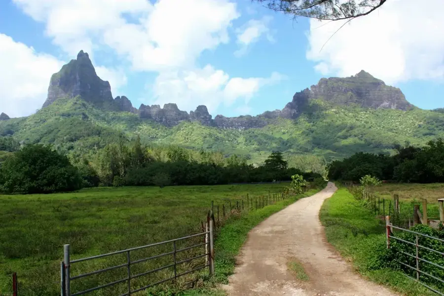
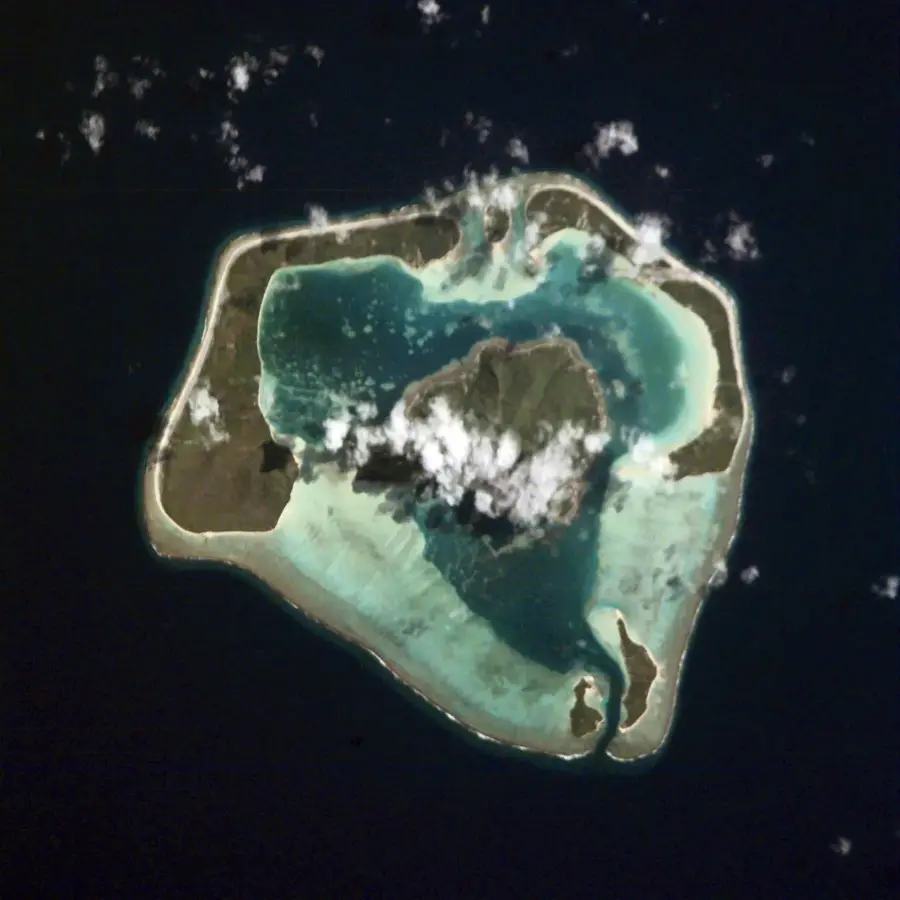
Mount Teurafaatiu is the crowning peak of Maupiti, rising 380 meters above the Pacific Ocean. This steep basalt formation provides a dramatic focal point for the island and is the ultimate destination for hikers seeking the best views in the Society Islands. The trail to the summit winds through lush greenery and over rocky outcrops, demanding some effort but offering an unparalleled reward. From the top, the entire circular lagoon of Maupiti is visible in shades of electric blue and turquoise, bordered by pristine white-sand motus and the crashing surf of the outer reef. On a clear day, one can even spot the distant peaks of Bora Bora across the water. The mountain captures the essence of Maupiti, a place of rugged natural beauty that remains largely untouched by large-scale tourism, offering a peaceful sanctuary for nature lovers.
- Location: French Polynesia
- Top sights: Marae Hoata-ite-ra'i · Marae Tai-fari'i · Te pito o na maeha'a
- Nearby: Vaitape (57 km)
Best time to visit & climate
The most pleasant time to visit is Jul–Sep.
| Jan | Feb | Mar | Apr | May | Jun | Jul | Aug | Sep | Oct | Nov | Dec | |
|---|---|---|---|---|---|---|---|---|---|---|---|---|
| Avg °C | 28 | 28 | 28 | 28 | 27 | 27 | 26 | 26 | 26 | 26 | 27 | 27 |
| Rain mm | 214 | 183 | 148 | 126 | 94 | 59 | 44 | 40 | 35 | 76 | 119 | 220 |
📋 Practical info
Geography
Facts
- Elevation: 1,070 meters
- Second highest peak on Ua Pou
- Characterized by sharp ridges
- Habitat for Marquesan rail
- Average slope: >30 degrees
- Part of a protected area
Explore nearby
Notable places around
Route planner — Car & Motorhome
Where do you start? We build the route here, with stops and country notes along the way.
© OpenStreetMap contributors · OpenRouteService
Sights in the town Mount Teurafaatiu (10)
Te pito o na maeha'a
Archaeological site on Mount Teurafaatiu. The name means 'the navel of the stones', a site of cultural significance.
Palais de la mer
An attraction on Mount Teurafaatiu. The name means 'palace of the sea', possibly a place with a marine theme.
Temple protestant de Maupiti
A Protestant temple on Mount Teurafaatiu. A place for services and community meetings for Protestants.
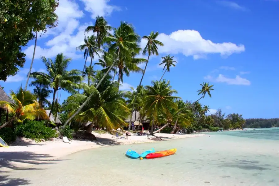
Terei'a
A beach on Mount Teurafaatiu. Has sand and access to the sea, suitable for swimming and relaxing.
Plage
A viewpoint on Mount Teurafaatiu. Provides a wide view of the coastline and the ocean.
Raies Manta
An attraction on Mount Teurafaatiu. Known for manta rays that can be spotted in the surrounding waters.
raie Manta
An attraction on Mount Teurafaatiu. Focuses on observing manta rays in their natural habitat.
Sights nearby
Frequently asked questions
What is the accessibility of the summit?
Is a lot of water needed for the climb?
Are hiking boots with ankle protection advisable?
What is the best season?
Can you do the tour with children?
Mount Teurafaatiu: where is it located?
Mount Teurafaatiu: what is there to see?
Mount Teurafaatiu: when is the best time to visit?
Mount Teurafaatiu: why is it worth visiting?

Nearby cities
History & landmarks

Nature
More places