Plizio Visual Lab
Mount Tapioi

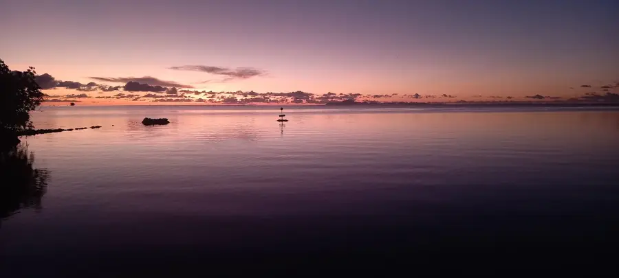
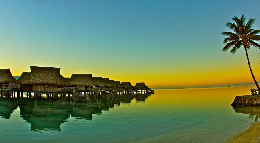
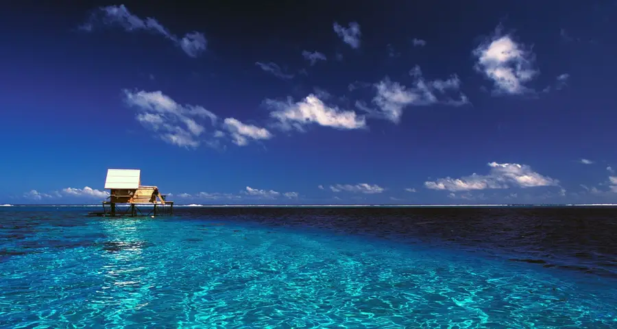
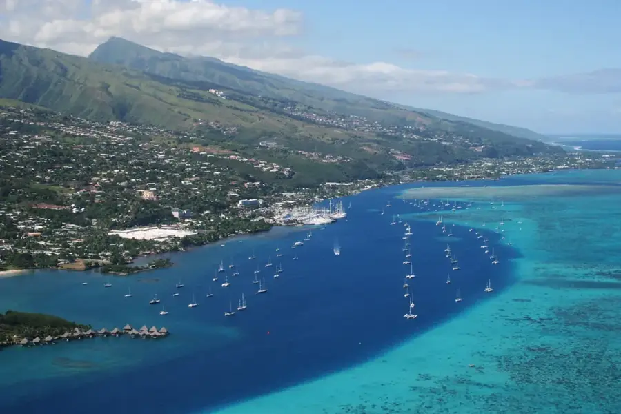
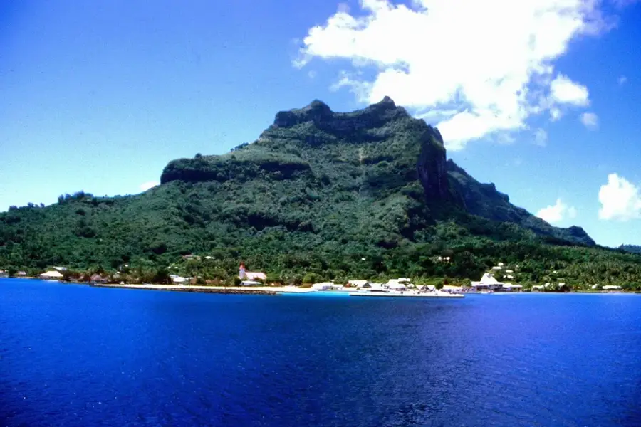
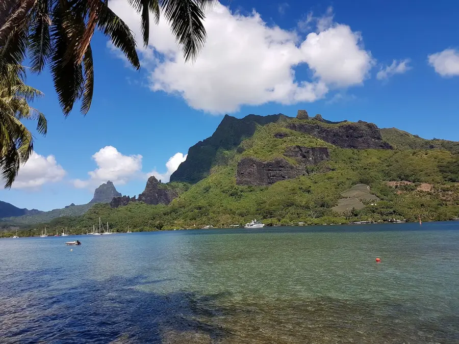
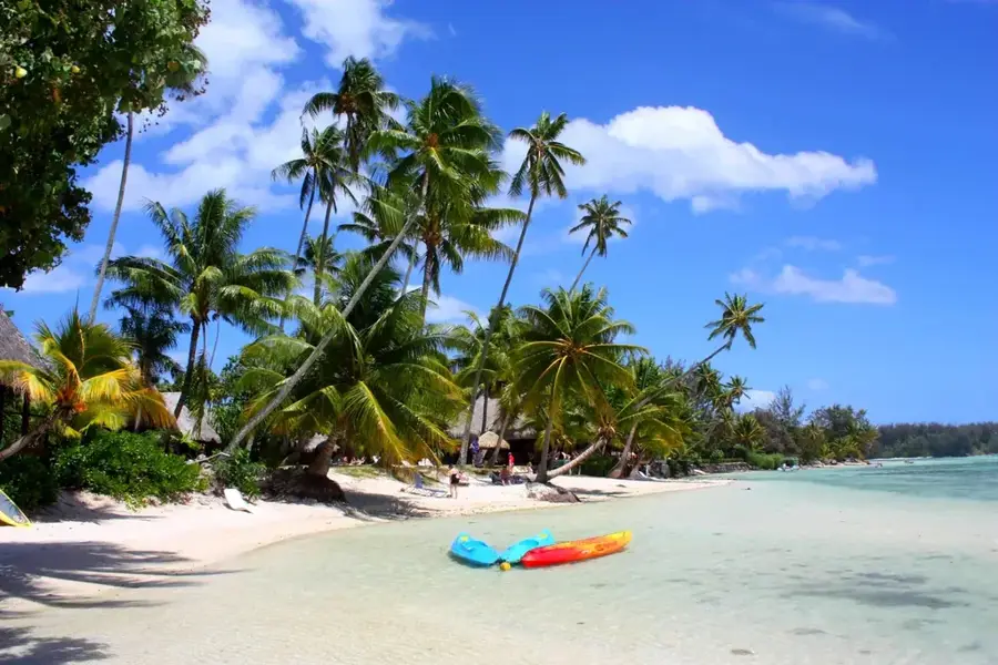
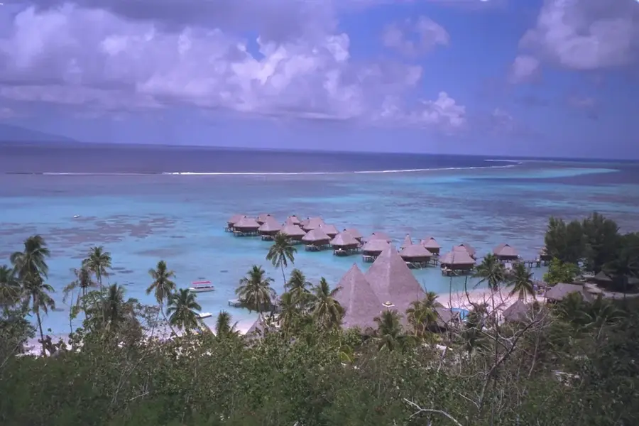
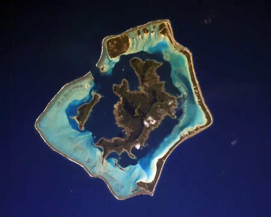
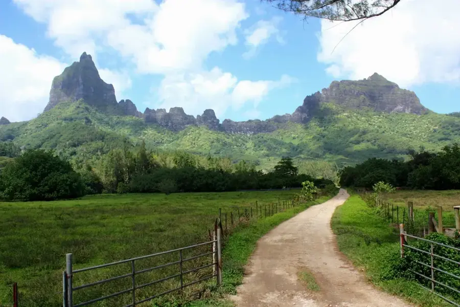
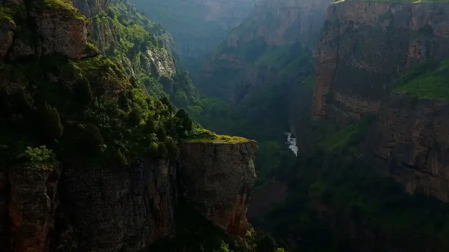
Mount Tapioi is the most iconic viewpoint on the island of Raiatea, towering directly above the town of Uturoa. Reaching an elevation of 294 meters, the summit is accessible via a steady hike along a service road, making it a popular choice for visitors seeking panoramic vistas without an arduous climb. From the top, the reward is a dramatic 360-degree view of the spirited lagoon, the intricate coral reef systems, and the neighboring island of Taha'a, which shares the same protective reef. On clear days, the distant peaks of Bora Bora and Huahine can be spotted on the horizon. The trail provides a unique perspective on the island's geography, highlighting the deep blue ocean passes and the lush, mountainous interior that makes Raiatea the spiritual heart of French Polynesia. It is widely considered the best spot on the island for photography, capturing the impressive contrast between the emerald-green slopes and the kaleidoscopic blues of the Pacific waters.
- Location: French Polynesia
- Top sights: Sainte-Therese Museum · Eglise St André · Temple Petera
- Nearby: Avera (8 km)
Best time to visit & climate
The most pleasant time to visit is Jul–Sep.
| Jan | Feb | Mar | Apr | May | Jun | Jul | Aug | Sep | Oct | Nov | Dec | |
|---|---|---|---|---|---|---|---|---|---|---|---|---|
| Avg °C | 28 | 28 | 28 | 28 | 27 | 27 | 26 | 26 | 26 | 26 | 27 | 27 |
| Rain mm | 198 | 174 | 142 | 118 | 93 | 60 | 42 | 42 | 34 | 72 | 111 | 216 |
📋 Practical info
Geography
Facts
- Mount Tapioi is 1,323 meters high.
- It is located on Tahiti Island.
- Tahiti Nui is the larger part of Tahiti.
- The mountain is of volcanic origin.
- The hike to the summit takes about 5 hours.
- Average temperature at the summit is 15 degrees Celsius.
Explore nearby
Notable places around
Route planner — Car & Motorhome
Where do you start? We build the route here, with stops and country notes along the way.
© OpenStreetMap contributors · OpenRouteService
Sights in the town Mount Tapioi (8)
Adventist Seventh Day Church
Seventh-day Adventist church in French Polynesia.
street art
Street art in French Polynesia. Colorful murals in public spaces.
Eglise évangélique de Pentecôte⛪ church
Evangelical Pentecostal church in French Polynesia.
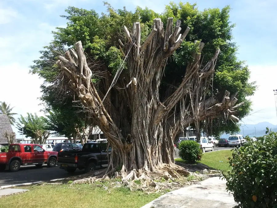
Old fishing traps
Old fishing traps in French Polynesia. Remnants of traditional fishing methods.
Sights nearby
Frequently asked questions
Is the climb easy?
How long is the hike?
Is the trail well-marked?
Does it offer shade?
Best time for the hike?
Mount Tapioi: where is it located?
Mount Tapioi: what is there to see?
Mount Tapioi: when is the best time to visit?
Mount Tapioi: why is it worth visiting?

Nearby cities
History & landmarks

Nature

More places