Plizio Visual Lab
Mont Kotika

Weather…
Water temperature…
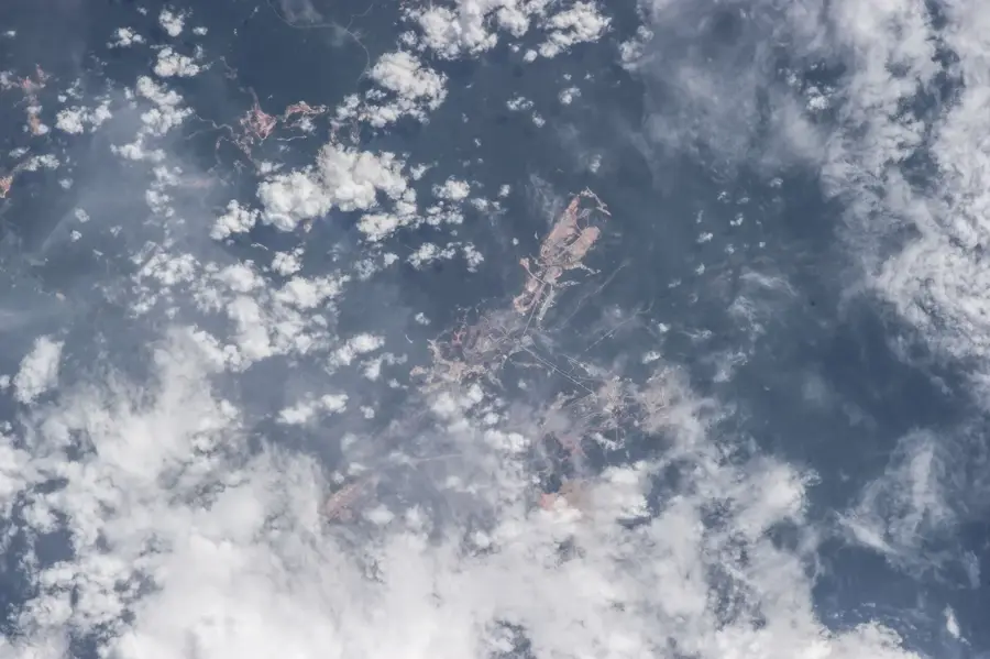
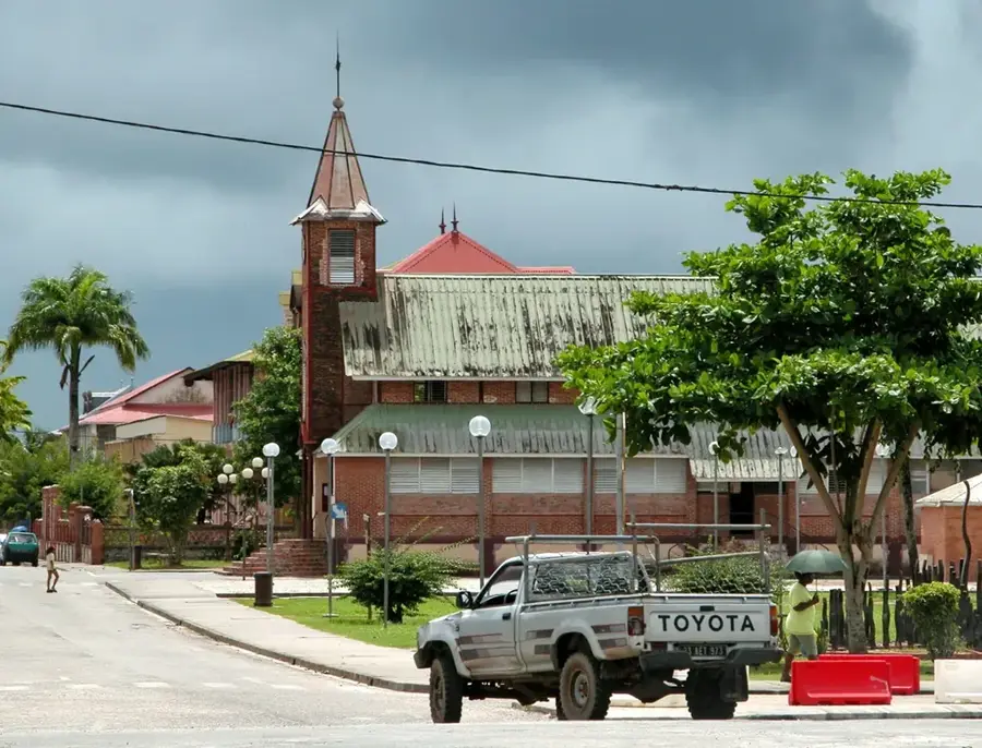
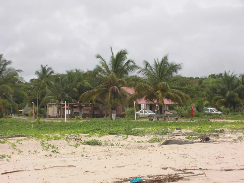
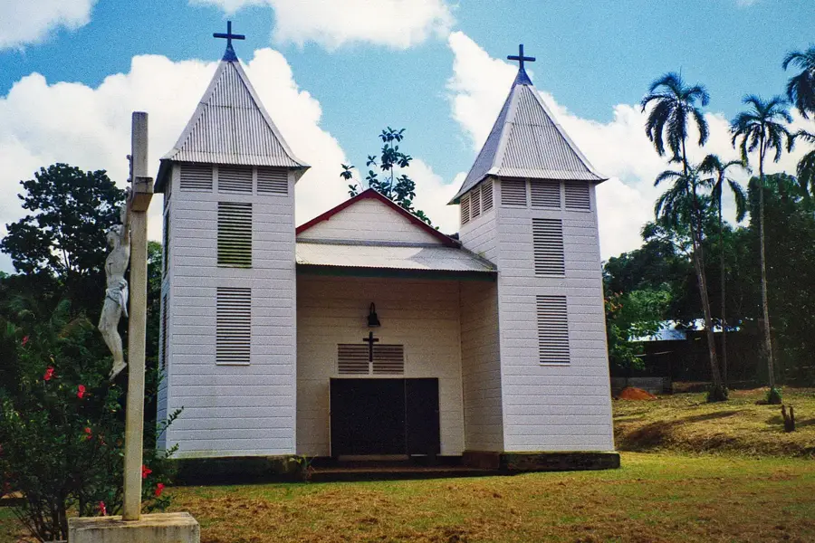
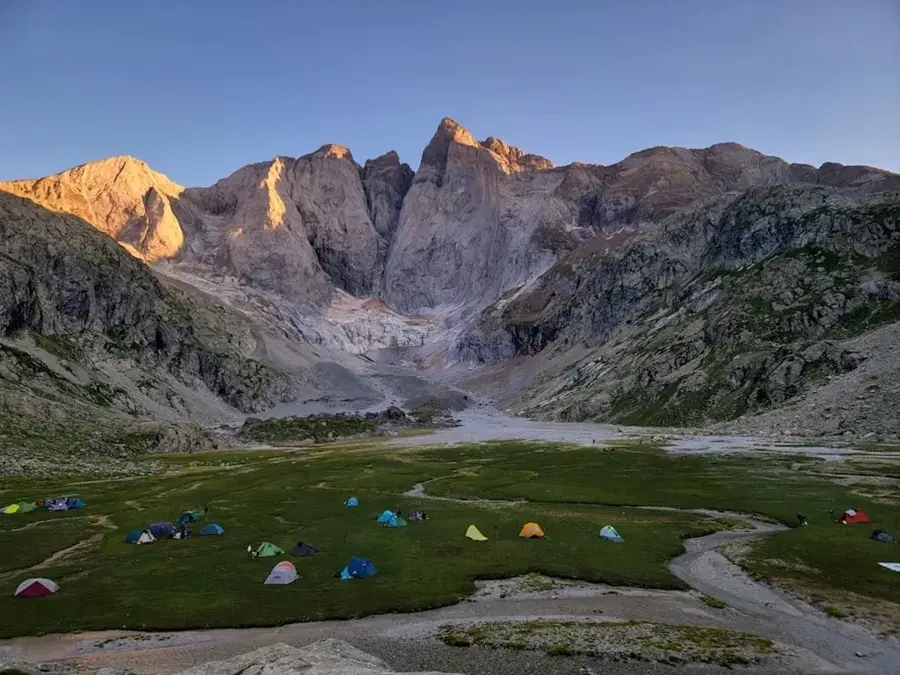
Mont Kotika is a prominent peak located in western French Guiana, near the commune of Papaïchton along the Maroni River. Standing at approximately 703 meters, it is one of the most significant heights in the region, offering expansive views over the surrounding rainforest canopy. The mountain holds deep cultural and spiritual significance for the local Aluku (Maroon) community residing in the nearby riverside villages. Geologically, Mont Kotika belongs to the greenstone belt, a formation known for its richness in iron and other minerals. The vegetation on its slopes is characterized by primary montane rainforest, with the summit region often shrouded in clouds, leading to the development of unique cloud forest ecosystems. Due to its steepness and dense forest cover, access is challenging and remains mostly limited to scientific researchers and local hunters. The preservation of the mountain is vital for both local biodiversity and the maintenance of the Maroon people's cultural heritage.
Best time to visit & climate
The most pleasant time to visit is Aug–Oct.
| Jan | Feb | Mar | Apr | May | Jun | Jul | Aug | Sep | Oct | Nov | Dec | |
|---|---|---|---|---|---|---|---|---|---|---|---|---|
| Avg °C | 25 | 25 | 25 | 25 | 25 | 25 | 25 | 25 | 26 | 28 | 28 | 26 |
| Rain mm | 211 | 224 | 231 | 305 | 355 | 272 | 197 | 114 | 51 | 65 | 95 | 218 |
📋 Practical info
Geography
Facts
- Mont Kotika reaches a maximum elevation of 703 meters above sea level.
- It is situated within the territory of the Aluku Maroons, descendants of escaped slaves.
- Geologically, the mountain is part of the extensive Guianan greenstone belt.
- The summit experiences a cooler microclimate with frequent cloud and fog cover.
- The mountain serves as a sacred site for traditional ceremonies of the local people.
- Rare orchid species have been documented within the forests surrounding Mont Kotika.
Explore nearby
Notable places around
Route planner — Car & Motorhome
Where do you start? We build the route here, with stops and country notes along the way.
© OpenStreetMap contributors · OpenRouteService
Sights nearby
Frequently asked questions
Where is Mont Kotika located?
How long does the climb take?
Are there marked hiking trails?
Does the summit offer a good view?
What clothing is recommended?
Mont Kotika: where is it located?
Mont Kotika: when is the best time to visit?
Mont Kotika: why is it worth visiting?

Nearby cities
History & landmarks
More places