Plizio Visual Lab
Mont Lure
The Montagne de Lure is a prominent mountain massif in Provence, stretching for 42 kilometers across the Alpes-de-Haute-Provence department. Geologically, it is often referred to as the 'little sister' of Mont Ventoux, as it shares similar limestone formations and a characteristic east-west orientation. The highest point is the Signal de Lure at 1,826 meters, providing a spectacular panoramic view from the Alps to the Mediterranean Sea. The southern slopes of the relief are gently inclined and sunny, while the northern face is steep and shaded, resulting in a wide range of microclimates. Historically, the mountain was famous for its herbalists who collected valuable medicinal plants for pharmacies throughout the region. Today, it hosts a significant astronomical observatory, benefiting from exceptional air quality and minimal light pollution. The area is a popular destination for hikers in the summer and gives opportunities for Nordic skiing during the winter months.
- Location: Provence-Alpes-Côte d'Azur, France
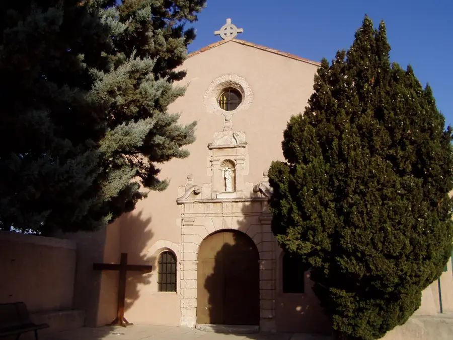
- Top sights: Pébouine · Église du Saint-Nom-de-Jésus · Chapelle
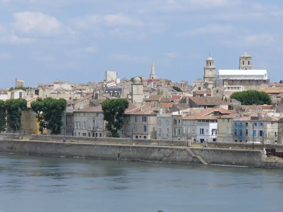
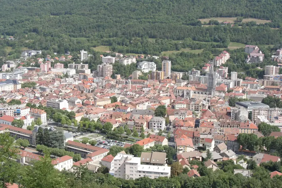
- Nearby: Forcalquier (17 km)
Best time to visit & climate
The most pleasant time to visit is Jun–Aug.
| Jan | Feb | Mar | Apr | May | Jun | Jul | Aug | Sep | Oct | Nov | Dec | |
|---|---|---|---|---|---|---|---|---|---|---|---|---|
| Avg °C | 2 | 3 | 6 | 10 | 14 | 20 | 23 | 22 | 17 | 13 | 7 | 3 |
| Rain mm | 47 | 40 | 45 | 54 | 60 | 41 | 24 | 31 | 56 | 79 | 98 | 57 |
📋 Practical info
Geography
Facts
- Highest point is the Signal de Lure at 1,826 meters
- The mountain range extends for 42 kilometers
- Home to the Saint-Michel-l'Observatoire astronomical site
- Limestone relief is characterized by karst features
- Was the home and inspiration of writer Jean Giono
- Part of the Luberon-Lure UNESCO Biosphere Reserve since 2010
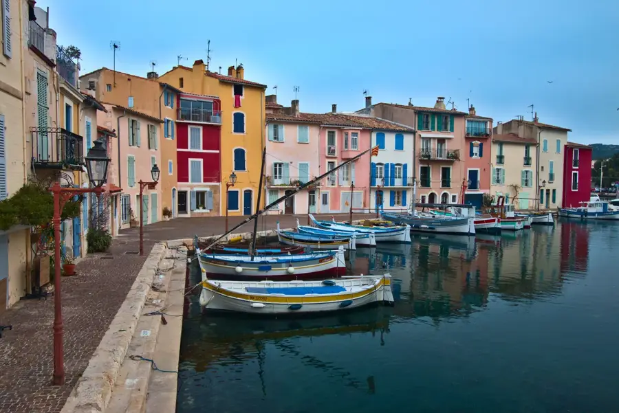
Explore nearby
Notable places around
Route planner — Car & Motorhome
Where do you start? We build the route here, with stops and country notes along the way.
© OpenStreetMap contributors · OpenRouteService
Sights in the town Mont Lure (4)
Sights nearby
Frequently asked questions
Where is the Montagne de Lure located?
With which famous mountain is it often compared?
What is the maximum altitude?
Is there an observatory there?
What grows at the foot of the mountain?
Mont Lure: where is it located?
Mont Lure: what is there to see?
Mont Lure: when is the best time to visit?
Mont Lure: why is it worth visiting?

Nearby cities