Plizio Visual Lab
Mont Ventoux summit
ℹ️Practical info — Mont Ventoux summit
▾
🌤 Weather — 5 days
📍 Nearby
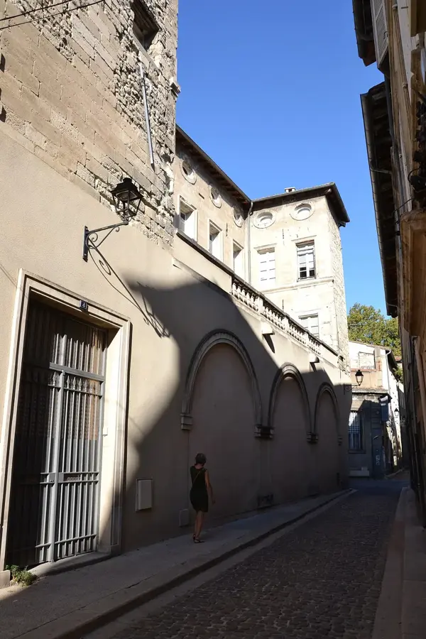
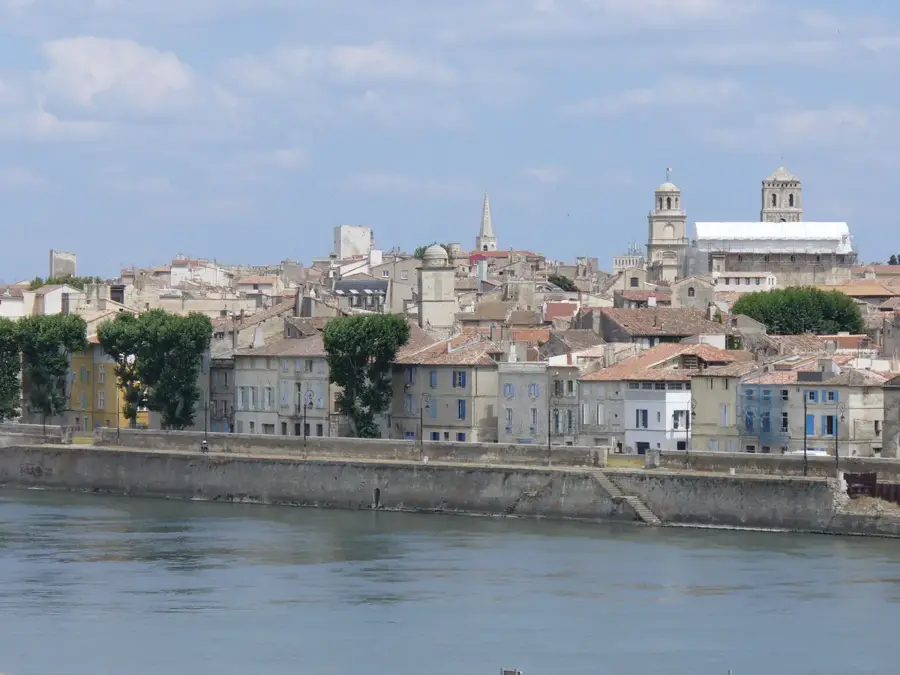
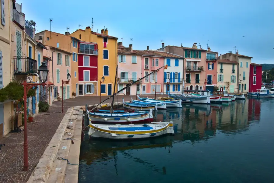
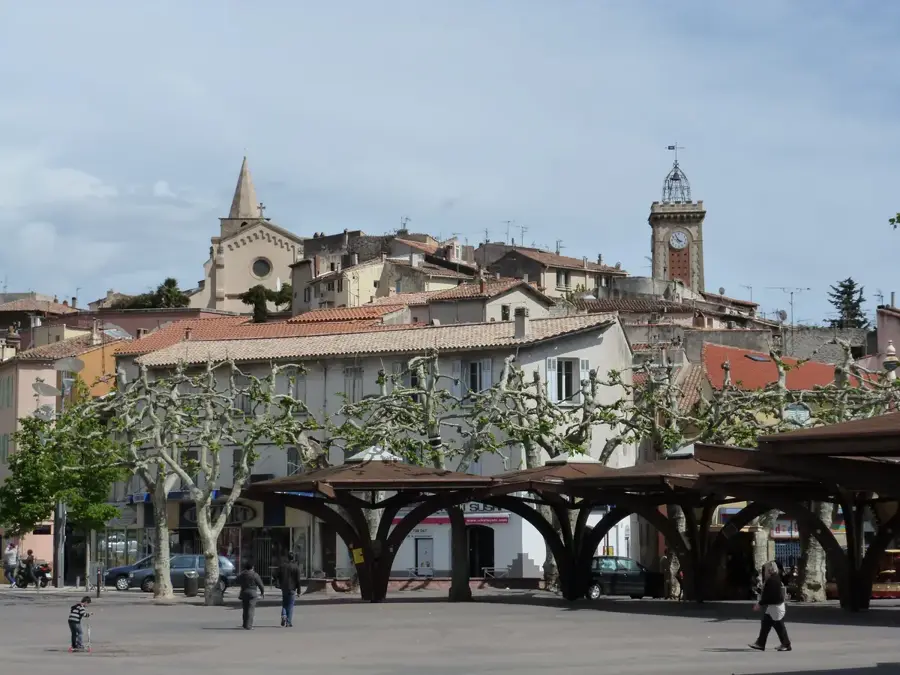
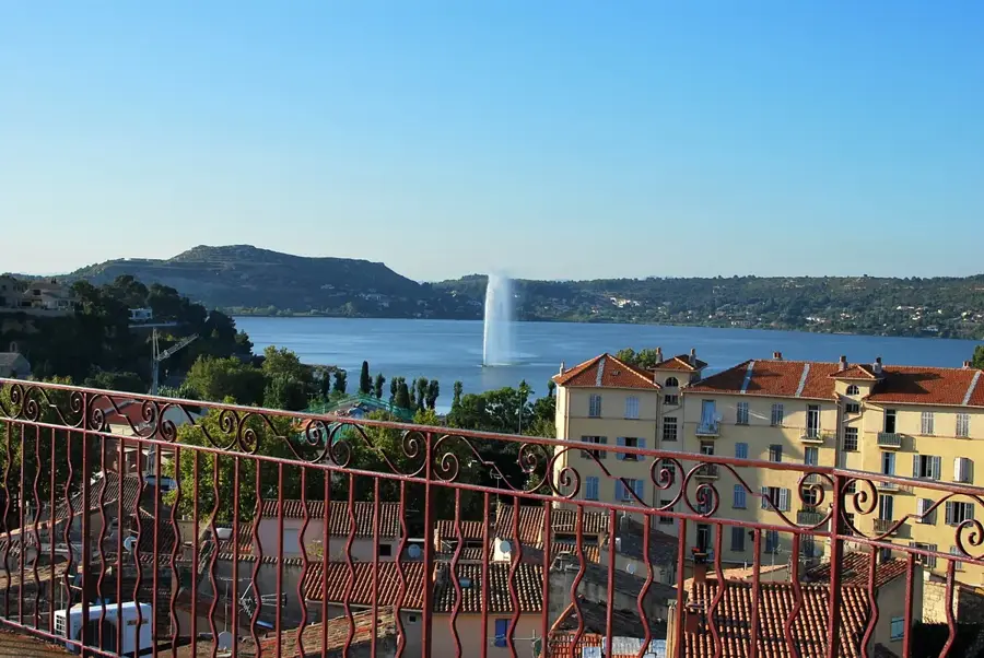
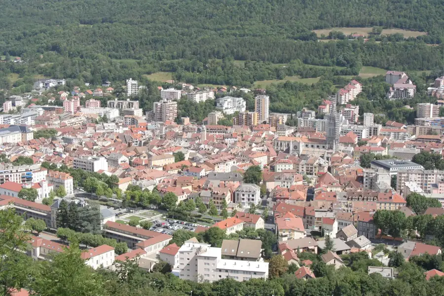
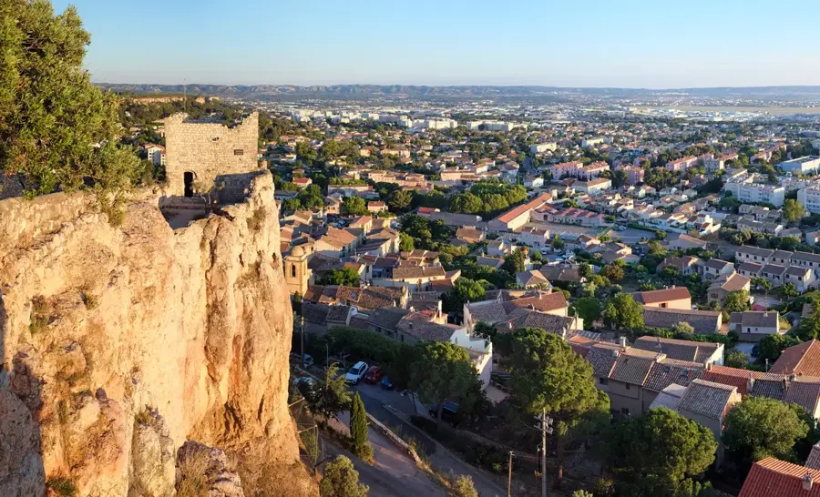
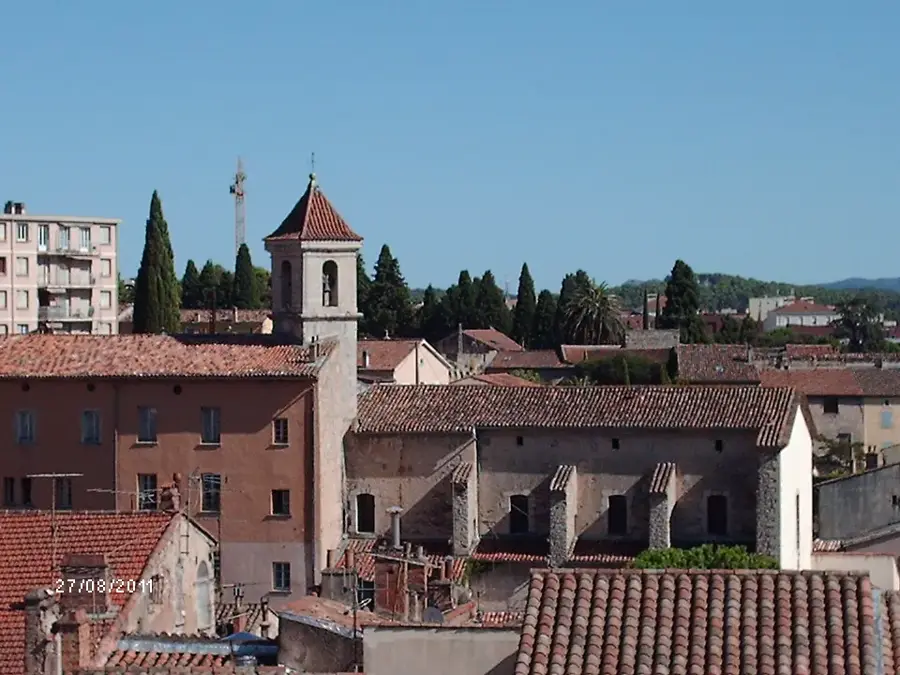
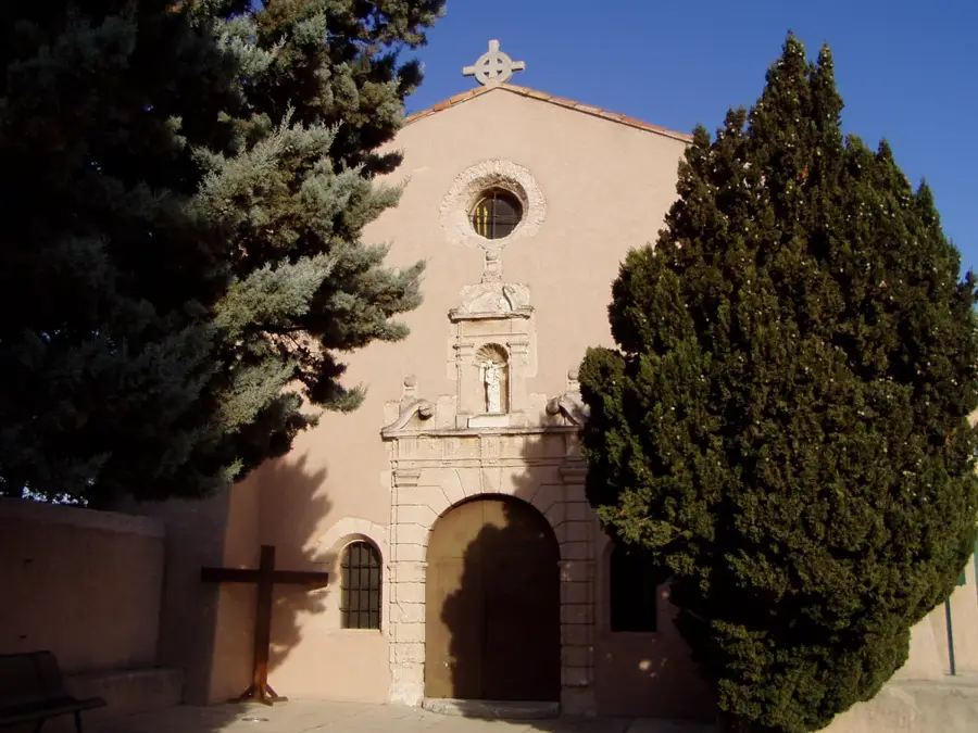
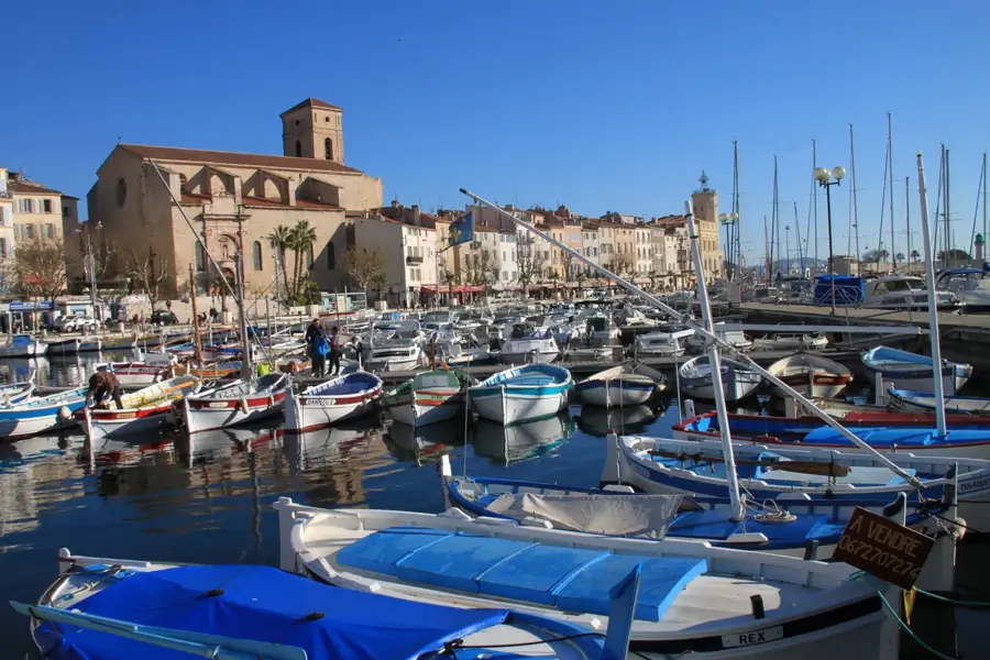
Sights nearby
💡 Tips
- Go early in the morning (before 9 AM) to avoid the crowds, midday heat, and to find the best parking spots.
- The weather on the summit is unpredictable. Bring a windproof jacket even in summer, as it can be 10-15°C colder than at the base of the mountain.
- There are three main routes to the summit: from Bédoin (the most famous), Malaucène (wider), and Sault (the easiest, passing lavender fields).
- Use engine braking (a lower gear) on the way down to avoid overheating your brakes on the long, steep descent.
- Parking is no longer possible right at the very summit. Use the designated car parks and walk the final 10 minutes.
🍽 Food
Try the artisanal nougat from the villages at the base of the mountain, like Sault. It's made with local lavender honey and almonds.
Look for 'Agneau de Sault' in restaurants in the surrounding villages; lamb that has grazed on the mountain's herb-filled pastures.
Buy a bottle of red or rosé wine from the Ventoux appellation. The altitude gives the grapes a special freshness.
🛍 Shopping · 🧘 Quiet spots
The area around Sault is famous for lavender. Buy essential oils, soaps, or dried bouquets from a local market.
In the shops in Bédoin or Malaucène, you'll find souvenirs celebrating the mountain's legendary connection to the Tour de France.
Experience the summit in near-total silence by driving up before dawn to watch the sunrise over Provence.
Escape the bustle at the very top by taking a short walk on one of the marked GR hiking trails that cross the road.
Take a break in the quiet forest area around Chalet Reynard, 6km below the summit on the south side.
Water temperature…
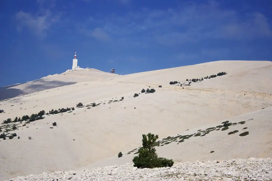
Mont Ventoux, known as the 'Giant of Provence', dominates the landscape of the Vaucluse department. Its distinctive white limestone summit appears snow-capped even in summer, creating a unique lunar environment devoid of vegetation. The mountain is a legendary site for the Tour de France; the steep ascent from Bédoin is considered one of the ultimate tests in professional cycling. A prominent meteorological observatory and a telecommunications tower mark the peak. The mountain is a UNESCO Biosphere Reserve, where Mediterranean flora at the base transitions into alpine species near the summit. On clear days, the panoramic view stretches from the Alps to the Mediterranean Sea. The Mistral wind often blows with extreme force here, sometimes exceeding 300 km/h, making the summit area a stark and wind-swept landscape even in bright sunshine. Accessible by car or bike from May to October, the summit features several hiking trails and cycling routes. In winter, the northern slope features the small ski resort of Mont Serein. Local products include high-quality honey, lavender, and Ventoux AOC wines from the surrounding foothills. Early autumn is the good time to visit for stable weather and thinner crowds.
- Location: Provence-Alpes-Côte d'Azur, France
- Top sights: Ancienne antenne Vestale T2 du SSBS · la Rotonde · Jas de Gerbaud (incertain)
- Nearby: Mazan (17 km)
- Population: ~71
Best time to visit & climate
The most pleasant time to visit is Jun–Aug.
| Jan | Feb | Mar | Apr | May | Jun | Jul | Aug | Sep | Oct | Nov | Dec | |
|---|---|---|---|---|---|---|---|---|---|---|---|---|
| Avg °C | 2 | 3 | 6 | 10 | 14 | 20 | 23 | 22 | 17 | 13 | 7 | 3 |
| Rain mm | 47 | 40 | 45 | 54 | 60 | 41 | 24 | 31 | 56 | 79 | 98 | 57 |
Geography
Facts
- 1,912 m elevation
- UNESCO Biosphere
- Tour de France icon
- 1882 observatory
- Mistral winds
- Lunar landscape
- Limestone rocks
- Vaucluse department
Explore nearby
Notable places around
Route planner — Car & Motorhome
Where do you start? We build the route here, with stops and country notes along the way.
© OpenStreetMap contributors · OpenRouteService
Sights in the town Mont Ventoux summit (6)
Frequently asked questions
How to reach the summit?
Is it very windy at the top?
Are there restaurants at the top?
When is the road closed?
Can you stay overnight there?
Mont Ventoux summit: where is it located?
Mont Ventoux summit: what is there to see?
Mont Ventoux summit: when is the best time to visit?
Mont Ventoux summit: why is it worth visiting?

Nearby cities