Plizio Visual Lab
Malzéville
ℹ️Practical info — Malzéville
▾
🌤 Weather — 5 days
📍 Nearby
Sights nearby
💡 Tips
- The Plateau de Malzéville has an excellent panoramic view over Nancy, best visited at sunset.
- Rent a bike to explore the quiet paths along the Meurthe River.
- Free parking can often be found in residential areas, but watch out for local permit zones.
- The town is very pedestrian-friendly, but comfortable shoes are recommended for the hilly areas.
🍽 Food
Try this savory regional tart at one of the small bakeries in the center.
Buy these traditional sweet treats at a local confectionery shop.
A must in the region! Enjoy this cake made with locally grown plums at a cafe.
🛍 Shopping · 🧘 Quiet spots
Look for locally made Lorraine crafts in the small boutiques.
A great place to buy fresh fruit, especially Mirabelle plums, directly from the farmers.
A vast, open nature area above the town, handy for undisturbed walks.
Scenic and peaceful walking paths right along the water.
Water temperature…
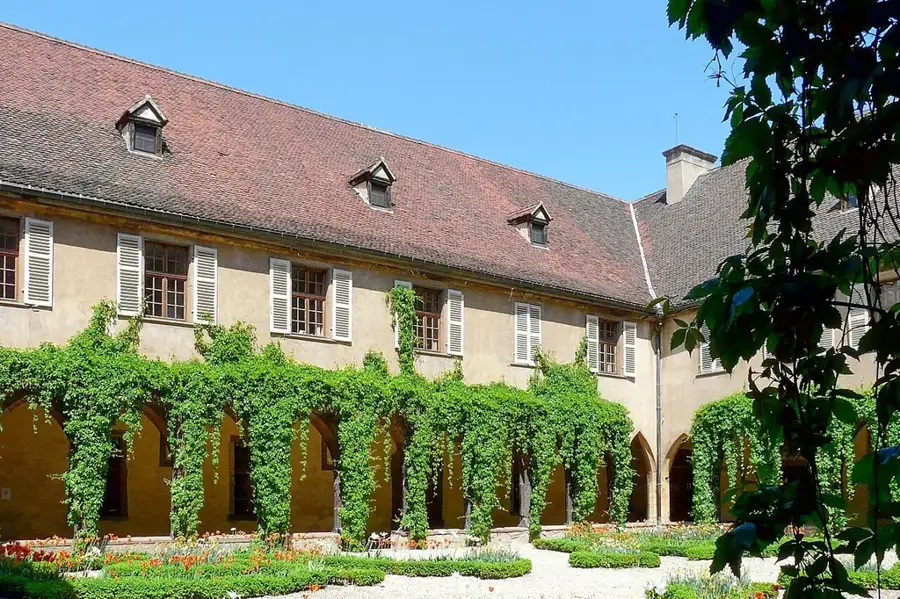
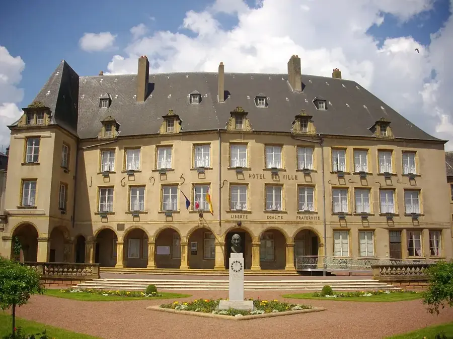
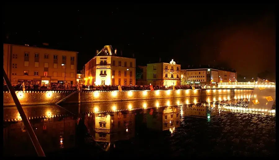
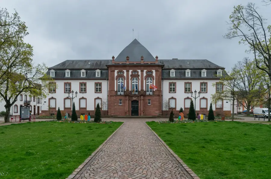
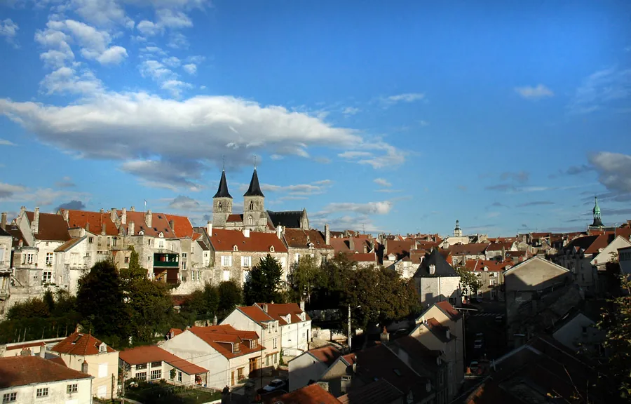
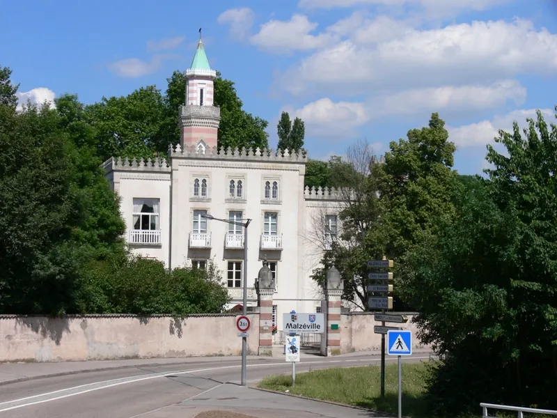
Malzéville is an animated commune in the Grand Est region of northeastern France, effectively serving as a gateway to the city of Nancy. Situated on the right bank of the Meurthe River, its topography is characterized by the dramatic rise to the Malzéville Plateau, a vast limestone upland that serves as a major natural lung for the metropolitan area. Historically, the area was known for its orchards and vineyards, which gradually gave way to residential development as Nancy expanded. The architectural legacy of the town includes several notable buildings influenced by the Art Nouveau movement of the École de Nancy, reflecting its prosperity at the turn of the 20th century. Today, Malzéville balances its identity as a peaceful residential suburb with its role as a hub for local services and small businesses. The plateau remains a focal point for paragliding, hiking, and scientific observation, while the town center maintains a lively atmosphere with local shops, schools, and a strong sense of community heritage linked to the river and the hills.
- Location: Grand Est, France
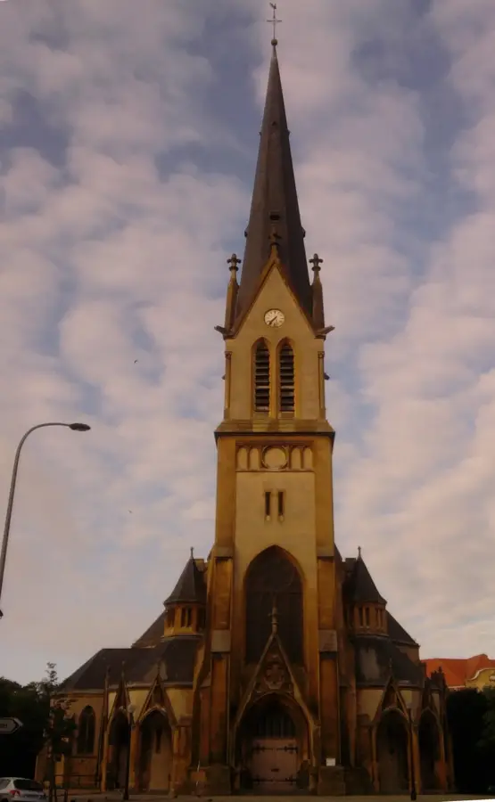
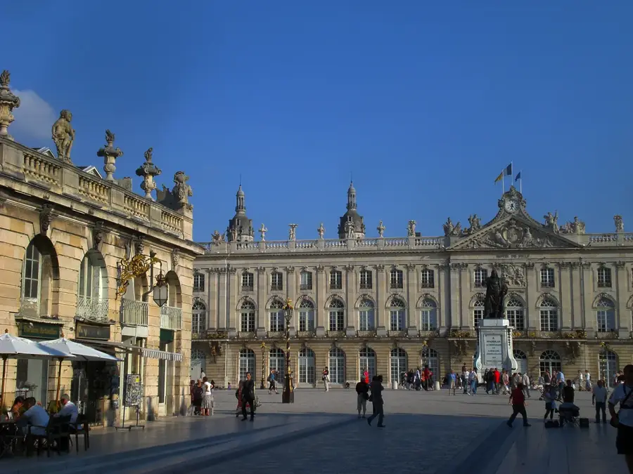
- Top sights: La Douëra · Saint-Martin Church · Meurthe River Banks
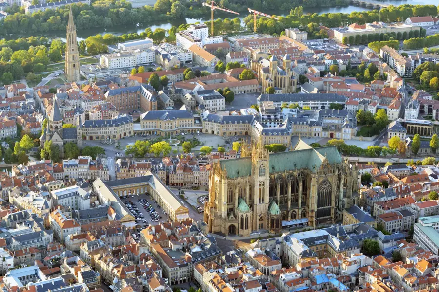
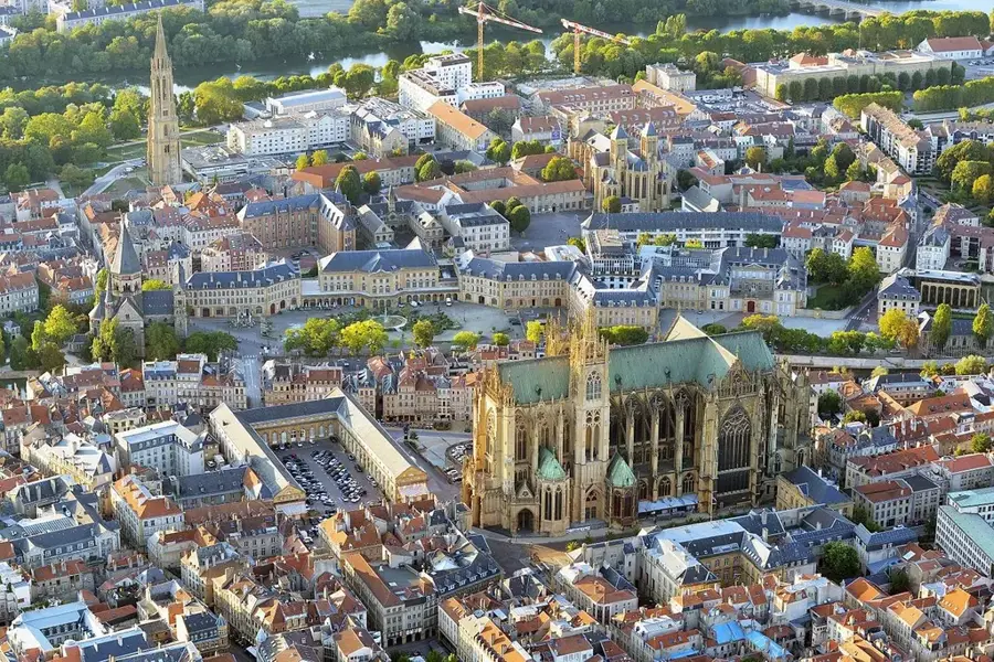
- Nearby: Nancy-Sud (5 km)
- Population: ~8.725
Best time to visit & climate
The most pleasant time to visit is Jun–Aug.
| Jan | Feb | Mar | Apr | May | Jun | Jul | Aug | Sep | Oct | Nov | Dec | |
|---|---|---|---|---|---|---|---|---|---|---|---|---|
| Avg °C | 1 | 2 | 5 | 9 | 13 | 18 | 20 | 19 | 15 | 10 | 5 | 2 |
| Rain mm | 64 | 53 | 57 | 47 | 73 | 66 | 62 | 71 | 56 | 67 | 67 | 75 |
Geography
Facts
- Altitude: ranges from 187 to 384 meters
- Total area: 7.53 square kilometers
- Postal code: 54220
- Administratively part of the Canton of Saint-Max
- The plateau is a protected Natura 2000 site
- Awarded the 'Villes et Villages Fleuris' label
Explore nearby
Notable places around
Route planner — Car & Motorhome
Where do you start? We build the route here, with stops and country notes along the way.
© OpenStreetMap contributors · OpenRouteService
Sights in the town Malzéville (4)
Frequently asked questions
What is the Plateau de Malzéville?
Can you visit La Douëra?
How do you get from Nancy to Malzéville?
Is there Art Nouveau architecture there?
Where is the best view of Nancy?
Malzéville: where is it located?
Malzéville: what is there to see?
Malzéville: when is the best time to visit?
Malzéville: why is it worth visiting?

Nearby cities