Plizio Visual Lab
Vaattunkivaara
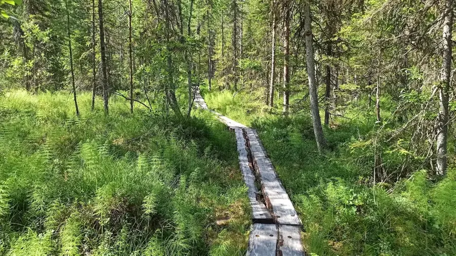
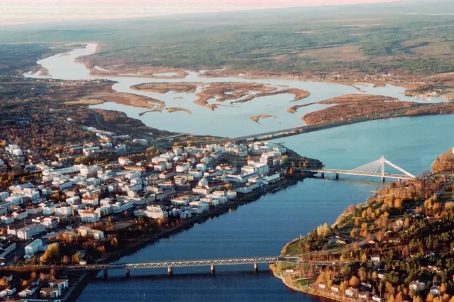
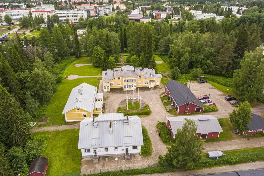
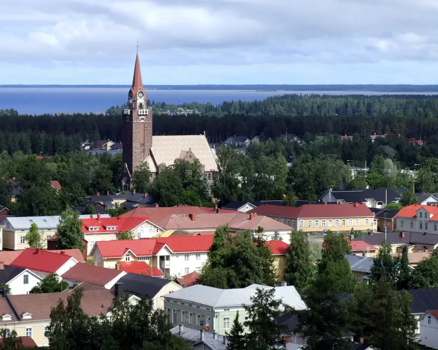
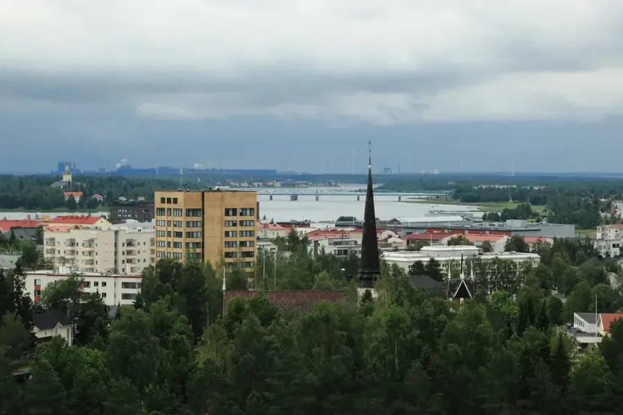
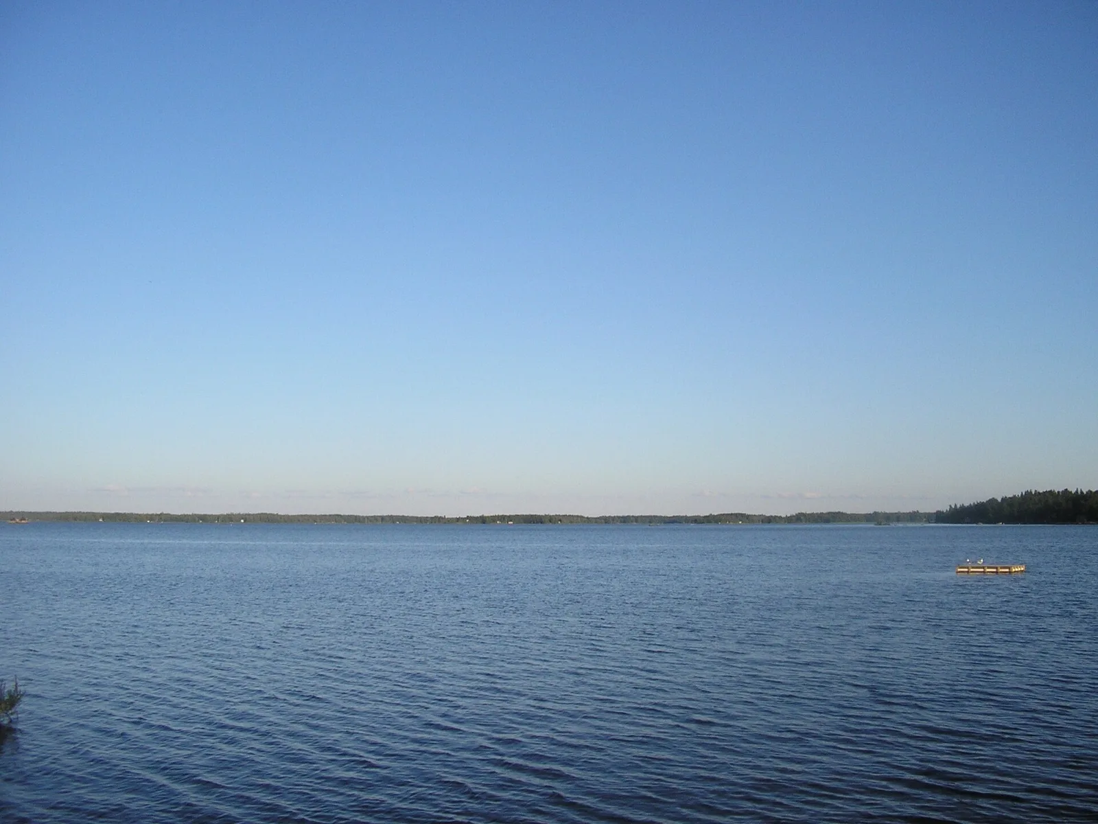
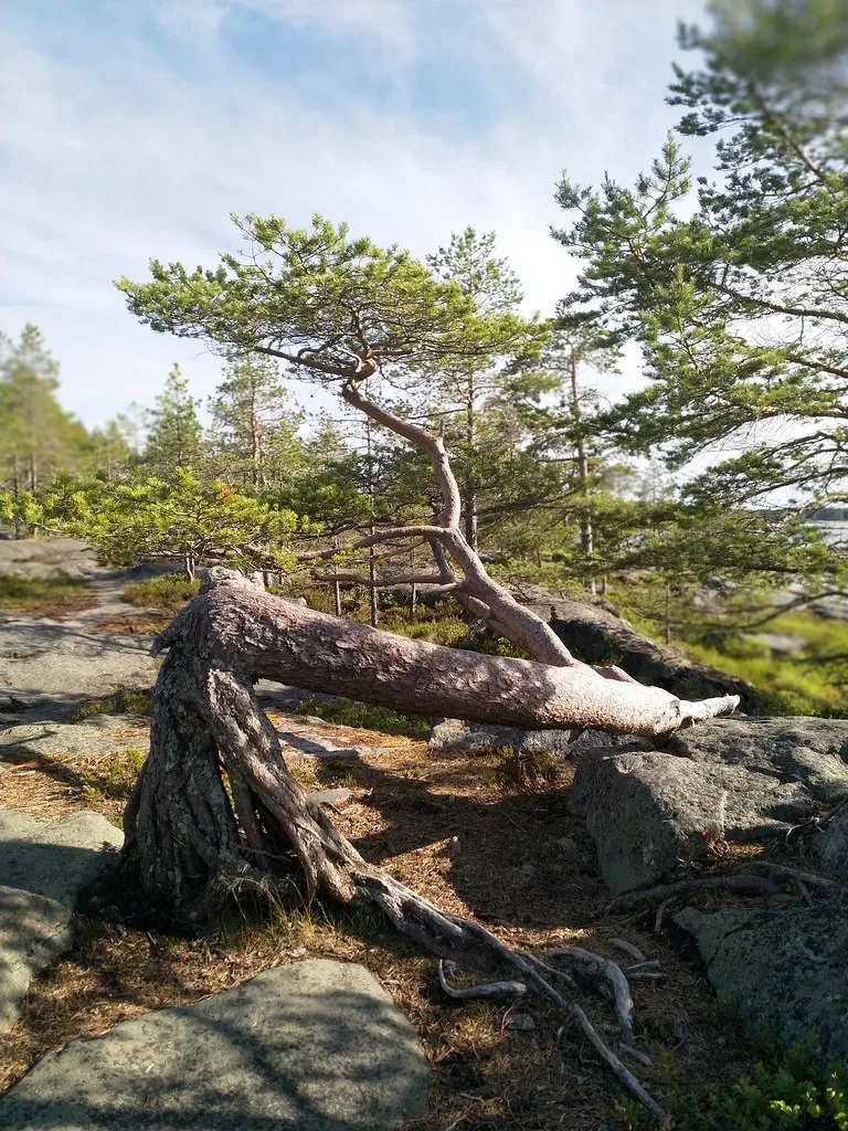
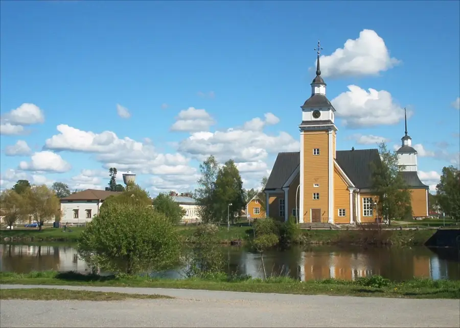
Vaattunkivaara is a forested elevation in the Arctic Circle Hiking Area, about 22 kilometers northeast of Rovaniemi. The hill reaches a modest height of approximately 215 meters but provides an excellent view of the Raudanjoki river valley due to the flat surroundings. Geologically, Vaattunkivaara belongs to the Kivalot fell chain, consisting of hard rocks that shape the Nordic landscape. The area is known for its diverse mire landscapes and river floodplains, made accessible by an extensive network of duckboards. An observation tower on the summit allows a panoramic view over the boreal wilderness and the meandering waterways of the area. The vegetation mainly consists of old coniferous forests, providing an important habitat for reindeer and native forest birds. Vaattunkivaara is a well-suited destination for short hikes and nature observation in close proximity to the Arctic Circle. The area is particularly popular in autumn during the Ruska season because of the intense foliage colors.
- Location: Finland
- Nearby: Rovaniemi (11 km)
Best time to visit & climate
The most pleasant time to visit is Jun–Aug.
| Jan | Feb | Mar | Apr | May | Jun | Jul | Aug | Sep | Oct | Nov | Dec | |
|---|---|---|---|---|---|---|---|---|---|---|---|---|
| Avg °C | -13 | -12 | -7 | -1 | 7 | 12 | 16 | 13 | 8 | 1 | -5 | -10 |
| Rain mm | 45 | 36 | 39 | 45 | 71 | 82 | 94 | 83 | 79 | 64 | 57 | 52 |
📋 Practical info
Geography
Facts
- Vaattunkivaara reaches a height of 215 meters above sea level.
- The hiking area is located about 22 kilometers northeast of Rovaniemi.
- A 500-meter long accessible duckboard path leads near the hill.
- The observation tower on the summit was built for tourists.
- The area is part of the Napapiiri (Arctic Circle) Hiking Area.
- The Raudanjoki River flows directly past the foot of the hill.
Explore nearby
Notable places around
Route planner — Car & Motorhome
Where do you start? We build the route here, with stops and country notes along the way.
© OpenStreetMap contributors · OpenRouteService
Sights in the town Vaattunkivaara (1)
Sights nearby
Frequently asked questions
Where is Vaattunkivaara?
Is there an observation tower?
Is the path wheelchair accessible?
How long is the hike?
Can you fish in the river?
Vaattunkivaara: where is it located?
Vaattunkivaara: when is the best time to visit?
Vaattunkivaara: why is it worth visiting?

Nearby cities