Plizio Visual Lab
Great Usutu Basin

Weather…
Water temperature…
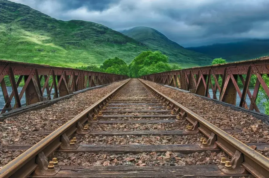
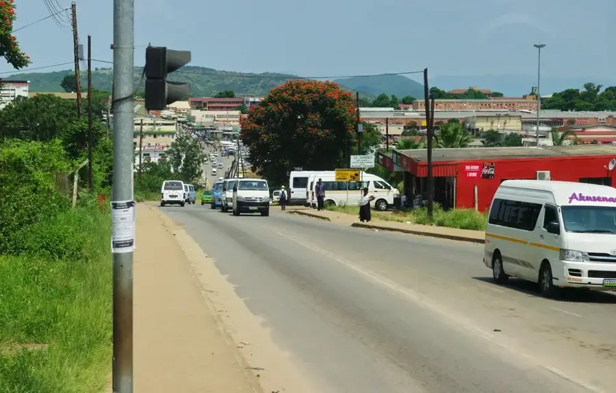
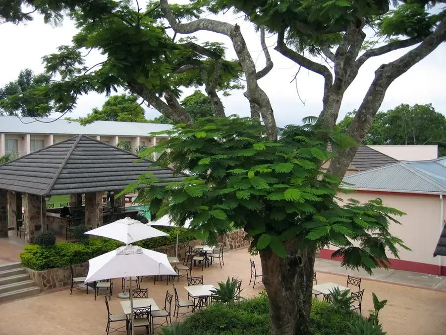
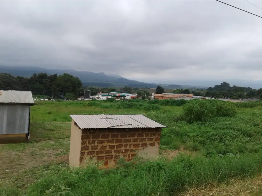
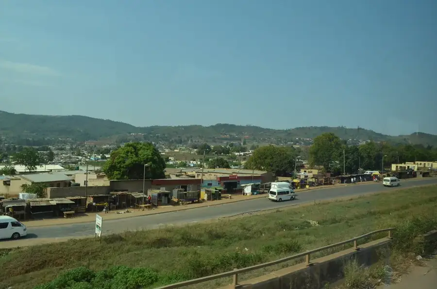
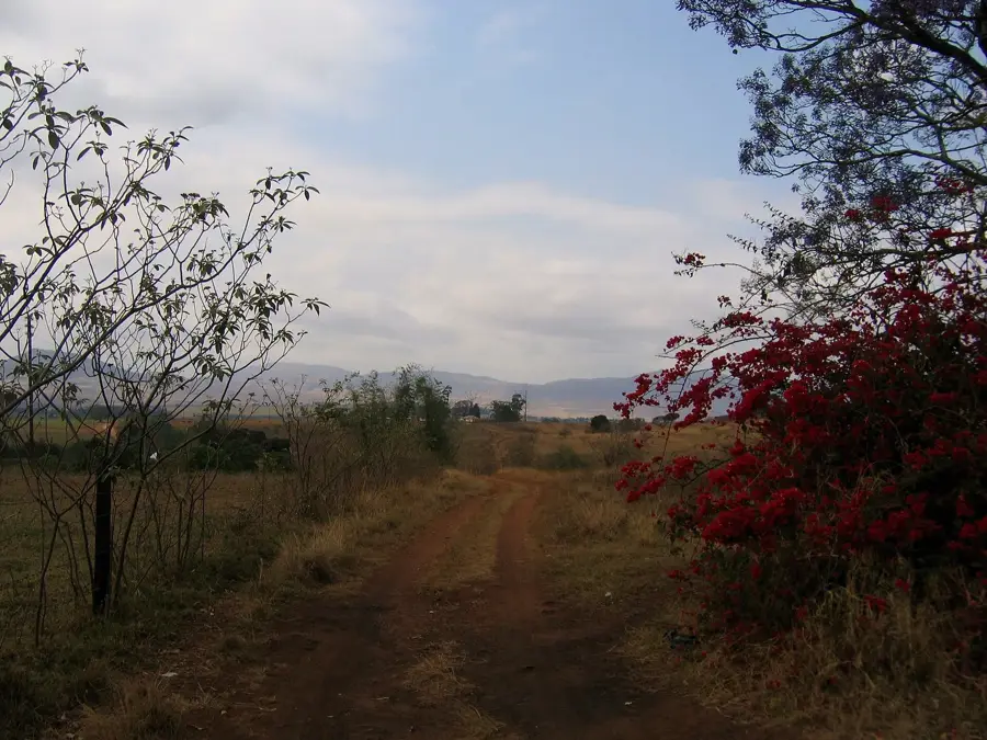
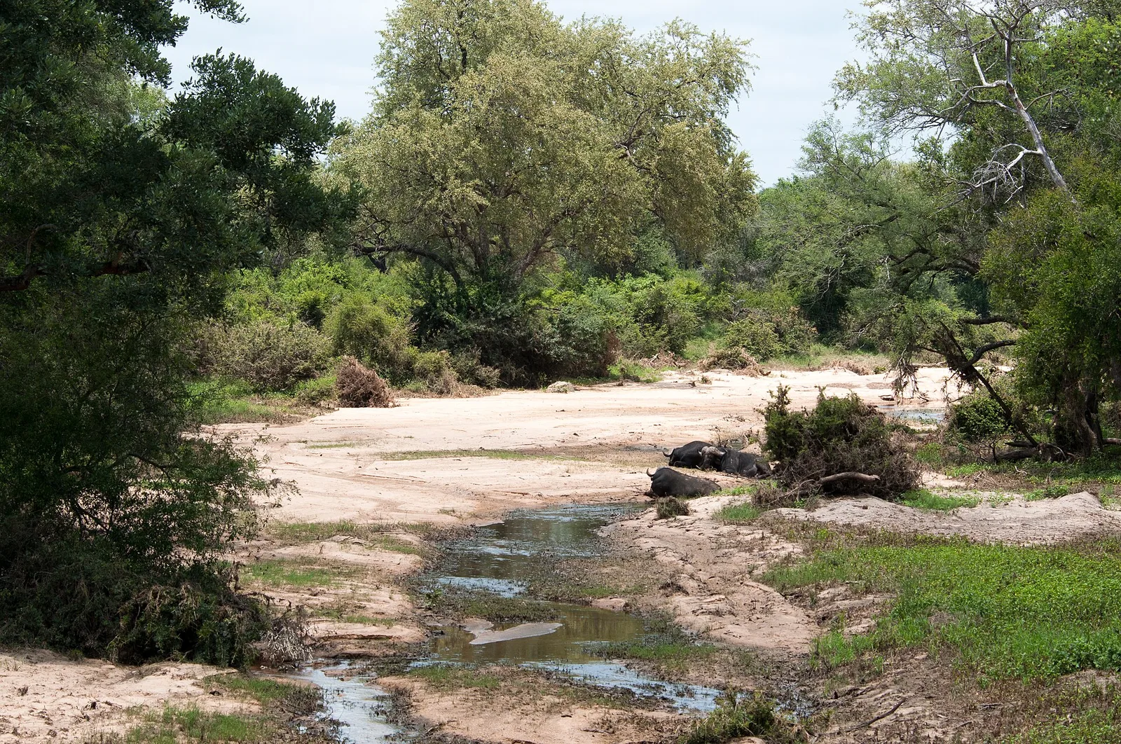
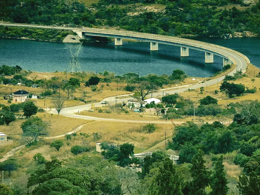
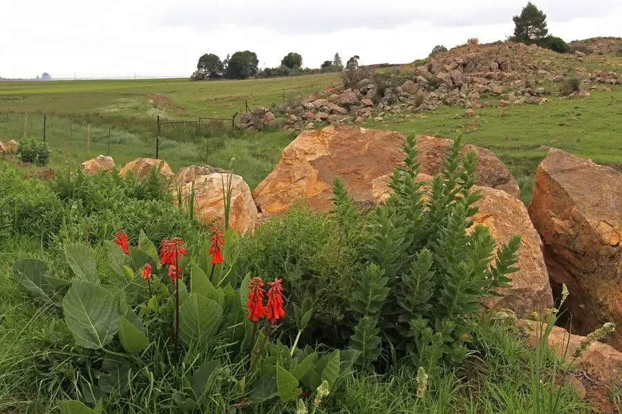
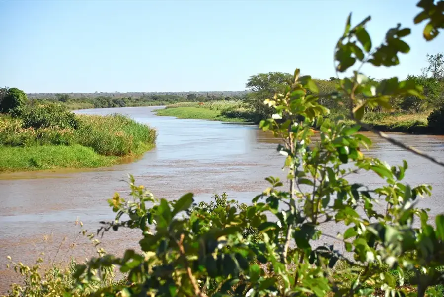
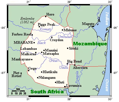
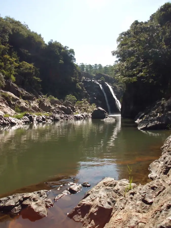
The Great Usutu Basin, also known as the Lusutfu Basin, is the primary hydrological system of Eswatini, encompassing a significant portion of the country's land area. It extends from the South African highveld through the heart of Eswatini to the Mozambican border, where the river eventually joins the Maputo River. This basin is critical for water security, hydroelectric power generation, and the large-scale irrigation of sugarcane plantations, which are a cornerstone of the national economy. Geographically, the basin is characterized by a diverse topography ranging from mountainous terrains to rolling hills and wide plains. The ecological diversity is significant, with the river feeding numerous wetlands that serve as habitats for a variety of waterfowl and amphibians. Human interventions, such as the construction of dams like the Luphohlo Dam, have regulated water flow to support industrial and agricultural needs. The basin's management is a key focus of regional cooperation between South Africa, Eswatini, and Mozambique to ensure sustainable water use.
- Location: Eswatini
- Nearby: Sidvokodvo (9 km)
Best time to visit & climate
The most pleasant time to visit is Apr, Sep, Oct.
| Jan | Feb | Mar | Apr | May | Jun | Jul | Aug | Sep | Oct | Nov | Dec | |
|---|---|---|---|---|---|---|---|---|---|---|---|---|
| Avg °C | 23 | 23 | 22 | 19 | 17 | 15 | 14 | 17 | 20 | 21 | 22 | 23 |
| Rain mm | 137 | 96 | 86 | 53 | 16 | 10 | 12 | 13 | 29 | 59 | 104 | 122 |
📋 Practical info
Geography
Facts
- The largest drainage basin in Eswatini, spanning three countries.
- The river originates in Mpumalanga, South Africa, at 1,800m altitude.
- Primary source for irrigating the sugarcane industry in the Lowveld.
- Features major dams like the Luphohlo Dam for electricity generation.
- The river flows for a total distance of approximately 400 kilometers.
- Vital habitat for Nile crocodiles and hippos in the lower reaches.
Explore nearby
Notable places around
Route planner — Car & Motorhome
Where do you start? We build the route here, with stops and country notes along the way.
© OpenStreetMap contributors · OpenRouteService
Sights in the town Great Usutu Basin (1)
Sights nearby
Frequently asked questions
Is the Great Usutu Basin family-friendly?
Are there restaurants nearby?
Is there an entry fee?
How long does exploration take?
Is photography allowed?
Great Usutu Basin: where is it located?
Great Usutu Basin: when is the best time to visit?
Great Usutu Basin: why is it worth visiting?

Nearby cities

History & landmarks


Nature
More places