Plizio Visual Lab
Vana-Nukk
Weather…
Water temperature…
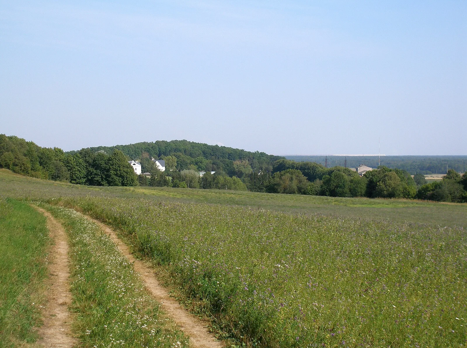
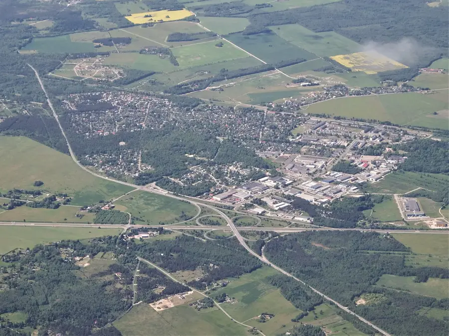
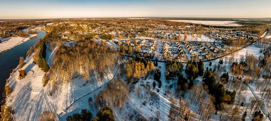
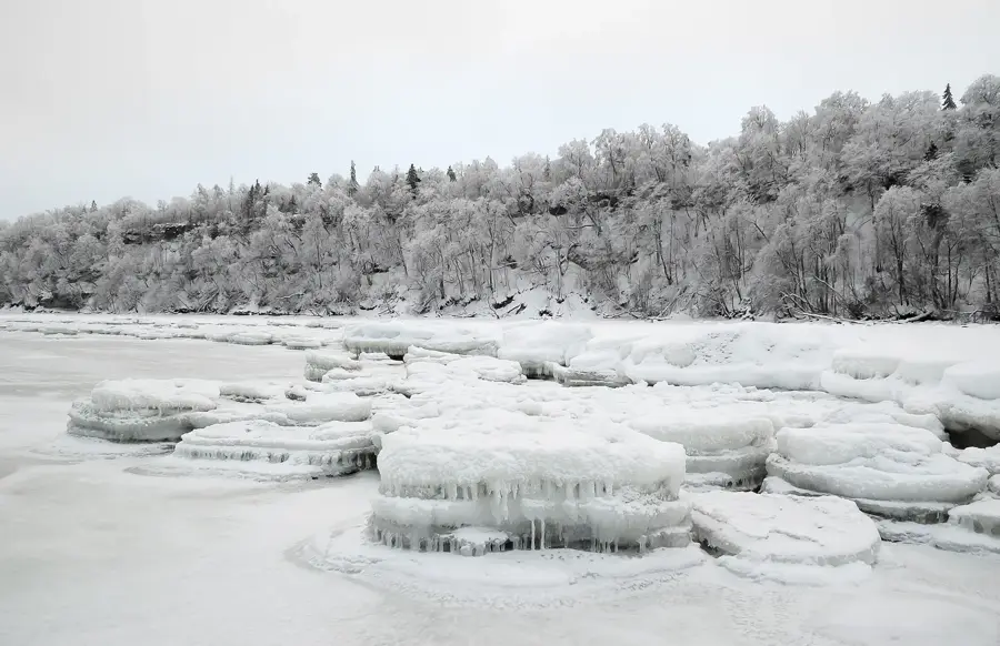
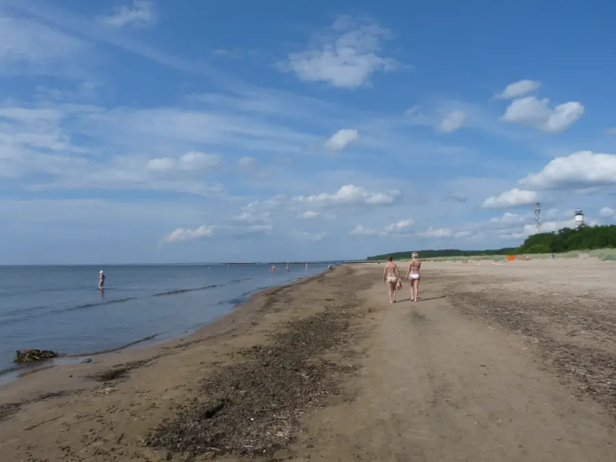
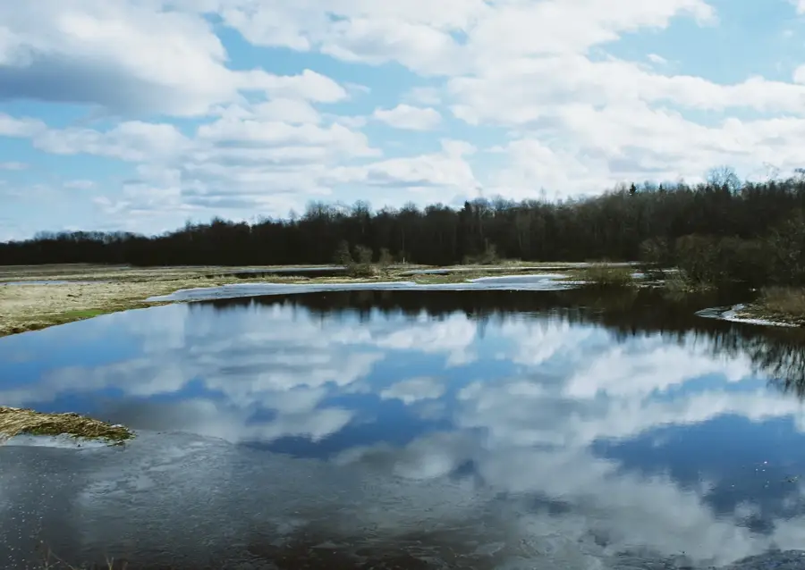
Vana-Nukk, which translates to "Old Corner," is a low-lying spit on the western coast of the Tagamõisa Peninsula on Saaremaa island. This geomorphological formation resulted from millennia of coastal erosion and sedimentation processes characteristic of the Estonian limestone shores. Historically, the area was well-known among local communities for its abundant fishing grounds, particularly for Baltic herring and flounder. The vegetation here is defined by wind-sculpted juniper bushes and calciphilous plants adapted to the harsh and exposed maritime climate. Due to the very gradual slope of the seabed into the Baltic Sea, extensive tidal flats and sandbars appear during periods of low water. Today, the region is a destination for hikers seeking tranquility and the chance to spot grey seals basking on nearby offshore rocks. The geological development of Vana-Nukk serves as a clear example of the dynamic changes occurring along the Baltic coastline.
- Location: Estonia
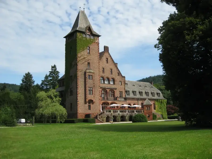
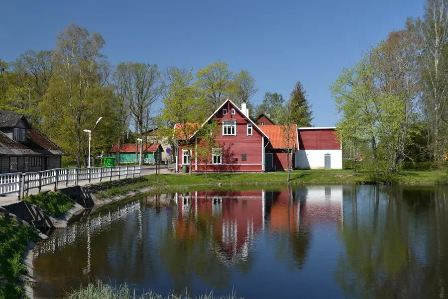
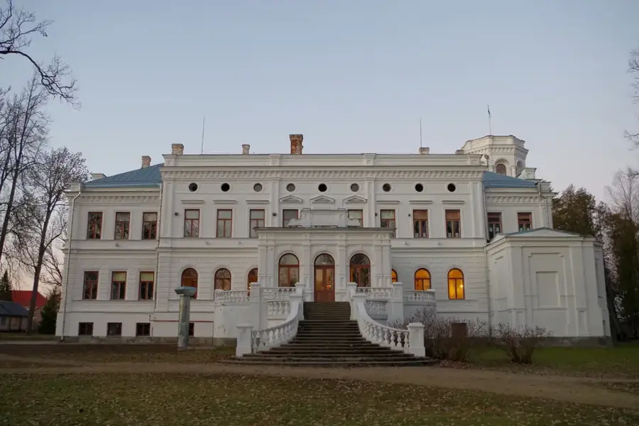
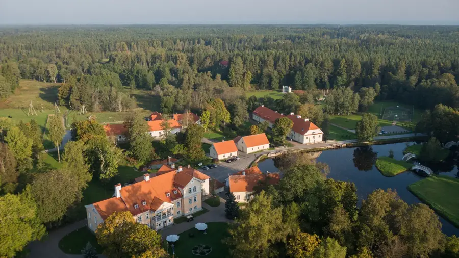
- Top sights: Jõe renditalu · Kudina mõisa peahoone · Saare järve ujumiskoht
Best time to visit & climate
The most pleasant time to visit is Jun–Aug.
| Jan | Feb | Mar | Apr | May | Jun | Jul | Aug | Sep | Oct | Nov | Dec | |
|---|---|---|---|---|---|---|---|---|---|---|---|---|
| Avg °C | -7 | -7 | -3 | 4 | 11 | 15 | 19 | 17 | 12 | 5 | 0 | -4 |
| Rain mm | 51 | 44 | 42 | 46 | 56 | 88 | 74 | 86 | 58 | 69 | 69 | 59 |
📋 Practical info
Geography
Facts
- The name literally means "Old Corner" or "Old Cape" in Estonian.
- Situated on the exposed western edge of Saaremaa island.
- Composed of Silurian limestone, often covered by thin layers of sediment.
- Serves as a significant habitat for Baltic grey seals.
- The average elevation of the spit is less than 2 meters above sea level.
- Historically utilized by islanders for seasonal herring fishing expeditions.
Explore nearby
Notable places around
Route planner — Car & Motorhome
Where do you start? We build the route here, with stops and country notes along the way.
© OpenStreetMap contributors · OpenRouteService
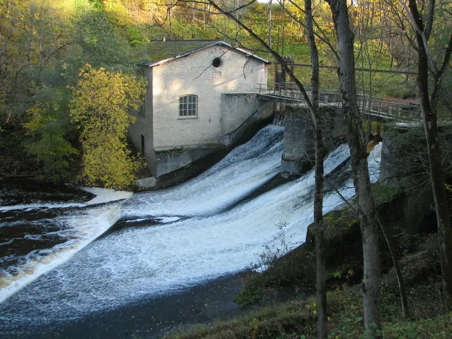
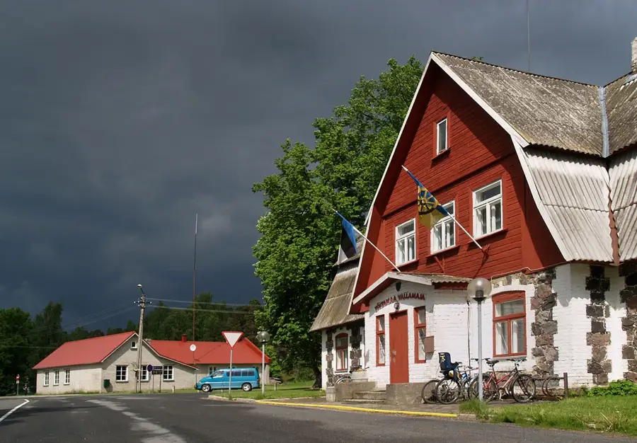
Sights in the town Vana-Nukk (3)
Sights nearby
Frequently asked questions
What does the name Vana-Nukk mean?
Are there historical legends about this place?
Is the terrain stony?
Is it a good place to relax?
What is the weather usually like there?
Vana-Nukk: where is it located?
Vana-Nukk: what is there to see?
Vana-Nukk: when is the best time to visit?
Vana-Nukk: why is it worth visiting?

Nearby cities
History & landmarks
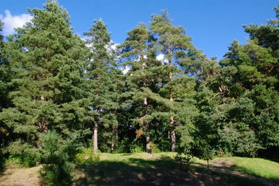
Nature
More places