Plizio Visual Lab
Kellamägi
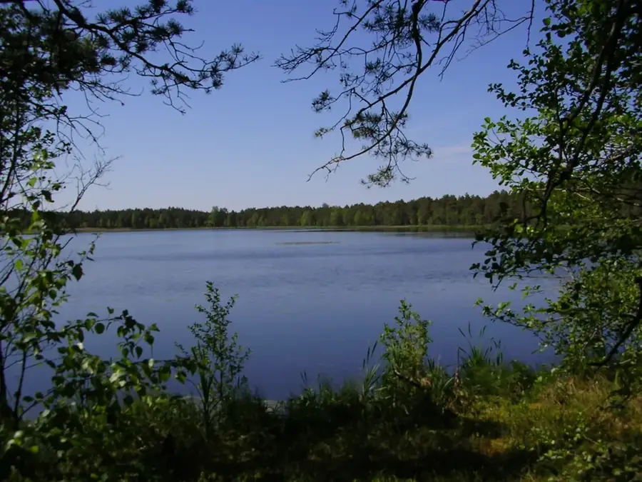
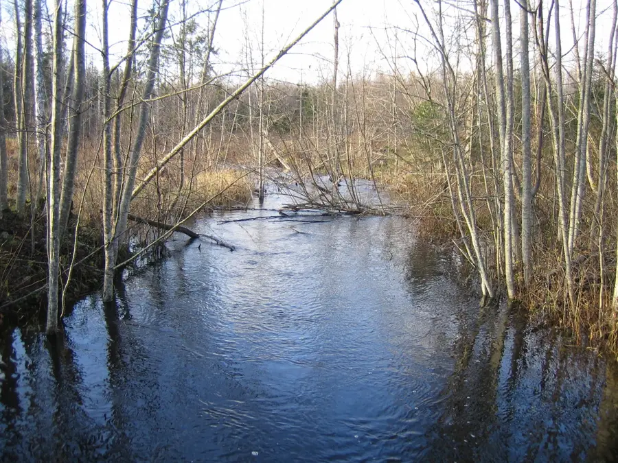
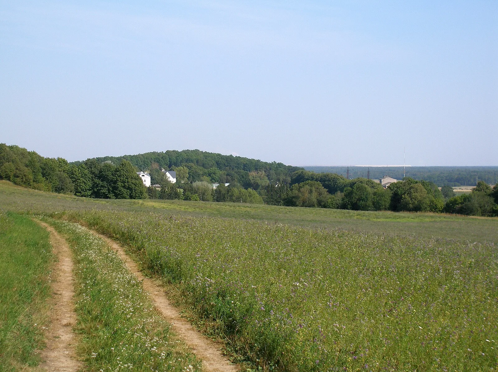
Kellamägi, standing at 156 meters above sea level, is one of the most significant elevations in the Pandivere Upland of northern Estonia. Located in Lääne-Viru County, it is the second-highest point in the region, surpassed only by Emumägi. The Pandivere Upland is unique for its karst topography and the notable lack of surface water, as the underlying limestone layers allow precipitation to seep quickly into the ground. Kellamägi itself is a broad, ridge-like rise formed by glacial deposition during the last ice age. The surrounding area is characterized by dense forests and agricultural land, with the region serving as a major drainage divide for northern Estonian rivers. Historically, the area was significant for forestry and limestone quarrying. Today, the hill is a peaceful natural destination, offering wide views over the undulating terrain of Pandivere and forming part of an extensive system of terminal moraine ridges.
- Location: Estonia
- Nearby: Soomaa National Park (74 km)
Best time to visit & climate
The most pleasant time to visit is Jun–Aug.
| Jan | Feb | Mar | Apr | May | Jun | Jul | Aug | Sep | Oct | Nov | Dec | |
|---|---|---|---|---|---|---|---|---|---|---|---|---|
| Avg °C | -7 | -7 | -3 | 4 | 11 | 15 | 18 | 17 | 12 | 5 | 0 | -4 |
| Rain mm | 52 | 45 | 42 | 45 | 56 | 92 | 74 | 83 | 59 | 69 | 69 | 59 |
📋 Practical info
Geography
Facts
- The height of Kellamägi is 156 meters above sea level.
- It is the second-highest elevation in the Pandivere Upland.
- The hill is located in Lääne-Viru County in northern Estonia.
- The geological base consists of Ordovician limestone bedrock.
- The Pandivere region acts as the main drainage divide in northern Estonia.
- The relief was shaped by glacial deposits approximately 11,000 years ago.
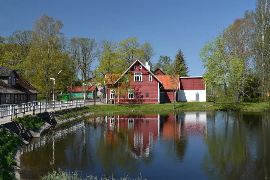
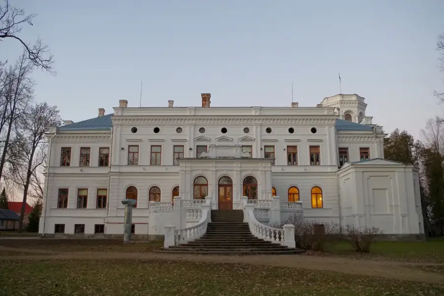
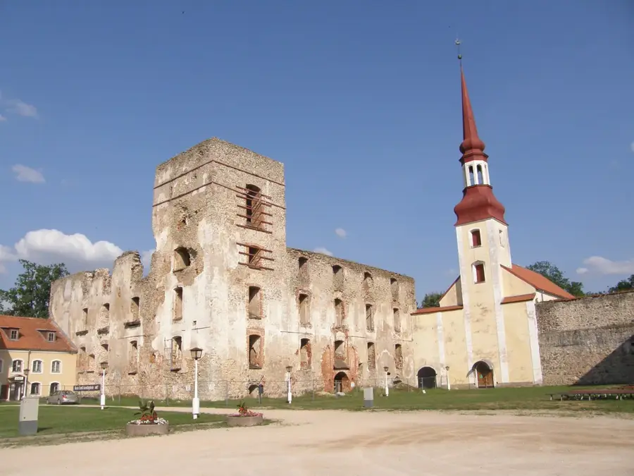
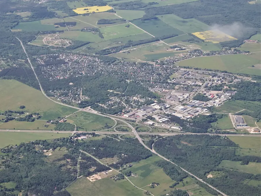
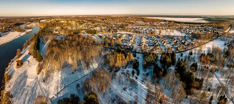
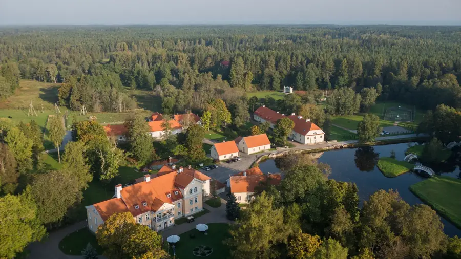
Explore nearby
Notable places around
Route planner — Car & Motorhome
Where do you start? We build the route here, with stops and country notes along the way.
© OpenStreetMap contributors · OpenRouteService
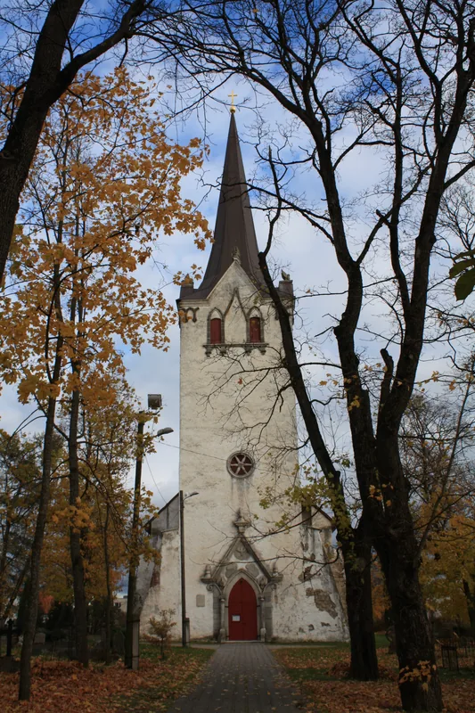
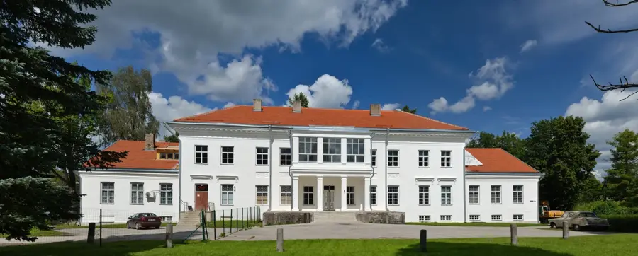
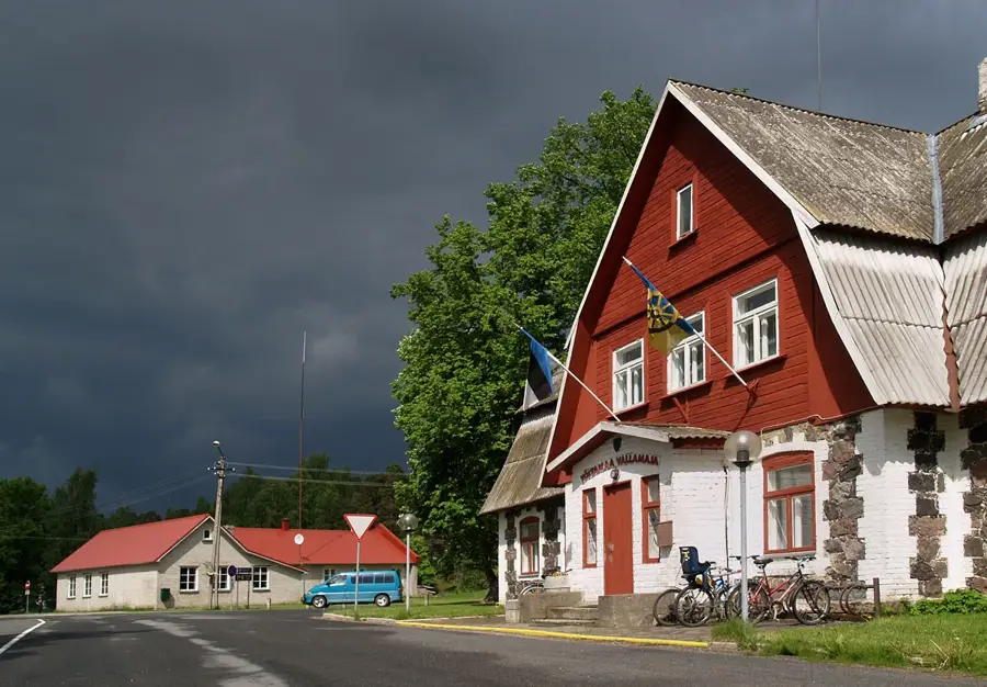
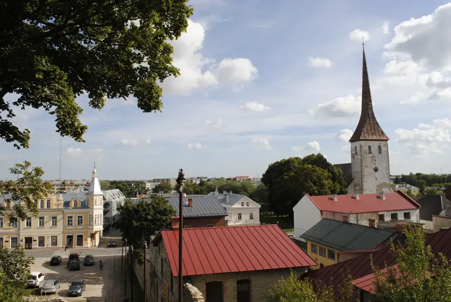
Sights in the town Kellamägi (1)
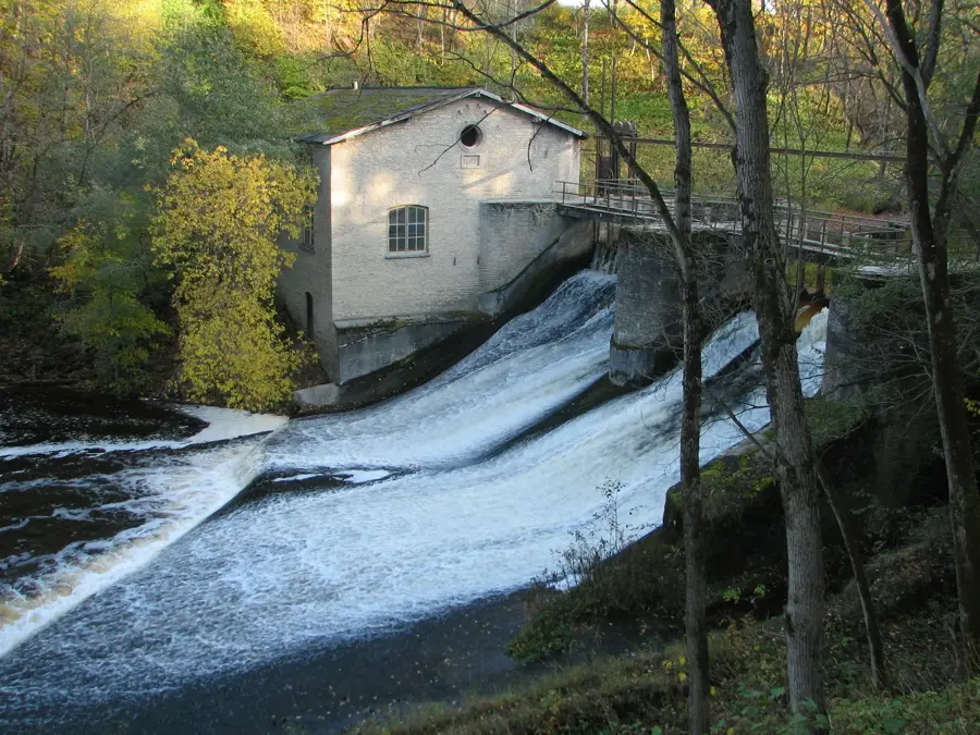
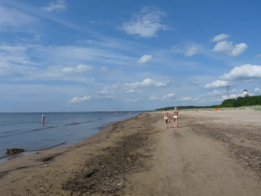
Sights nearby
Frequently asked questions
Where is Kellamägi located?
How high is Kellamägi?
Can you hike there?
Is the mountain accessible by car?
Are there sights there?
Kellamägi: where is it located?
Kellamägi: when is the best time to visit?
Kellamägi: why is it worth visiting?

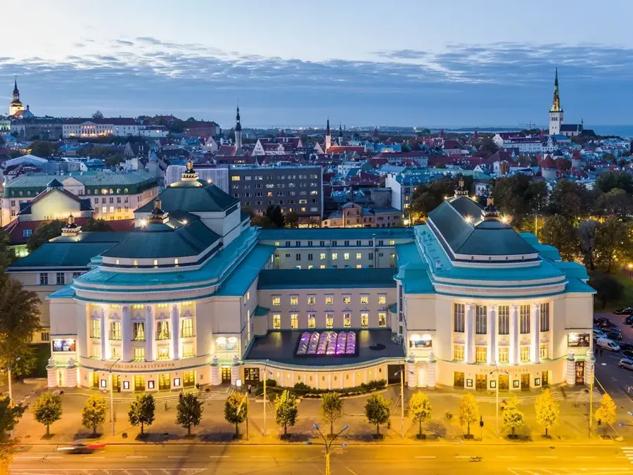
Nearby cities
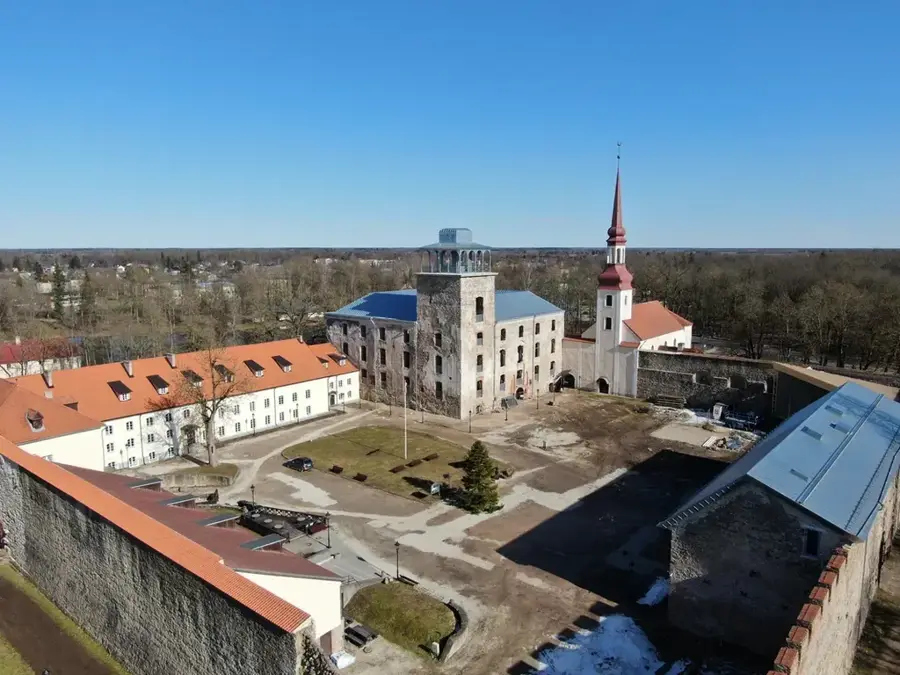
History & landmarks
Nature
More places