Plizio Visual Lab
Karula National Park
Weather…
Water temperature…
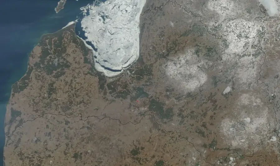
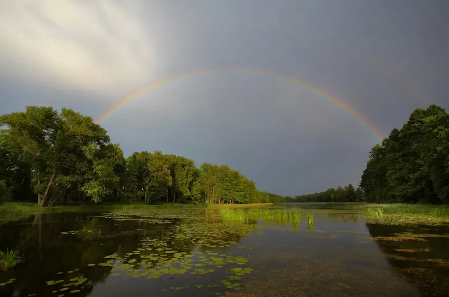
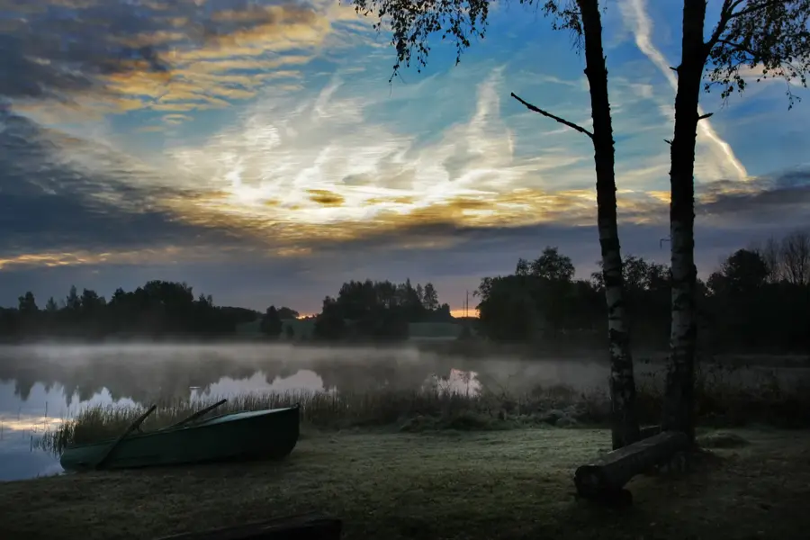
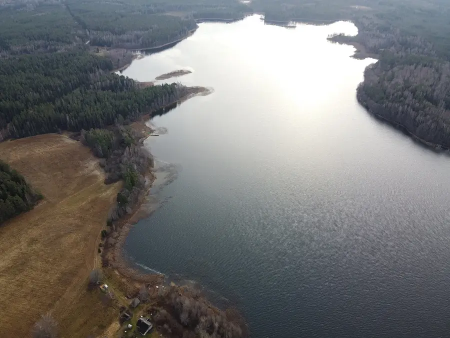
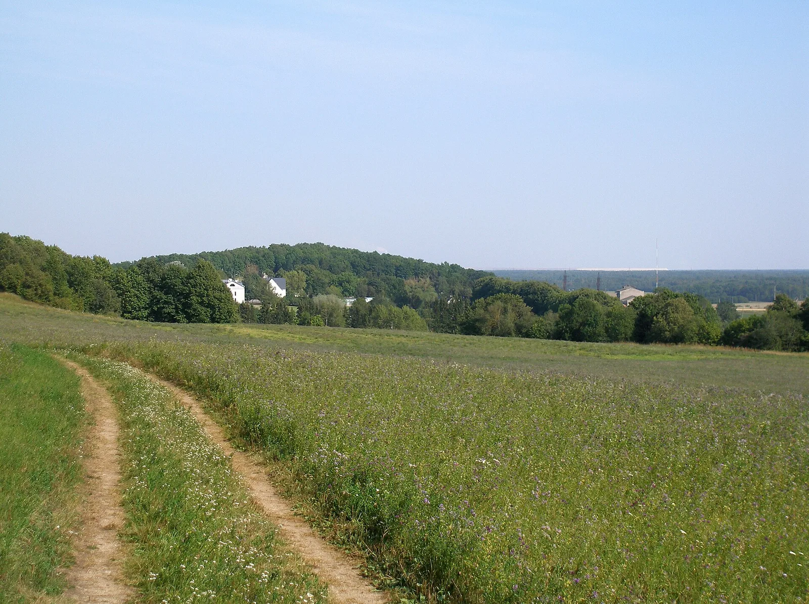
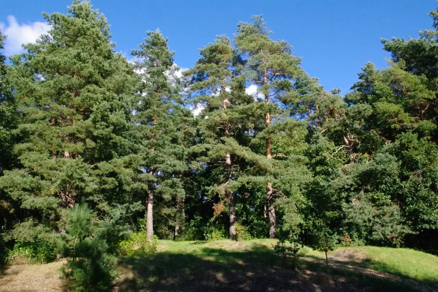
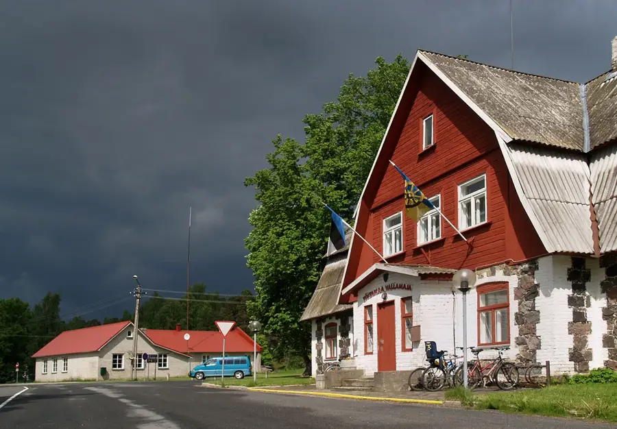
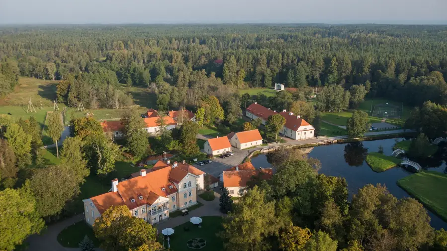
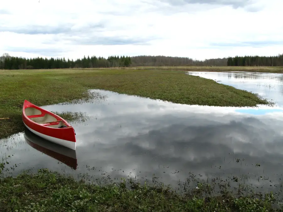
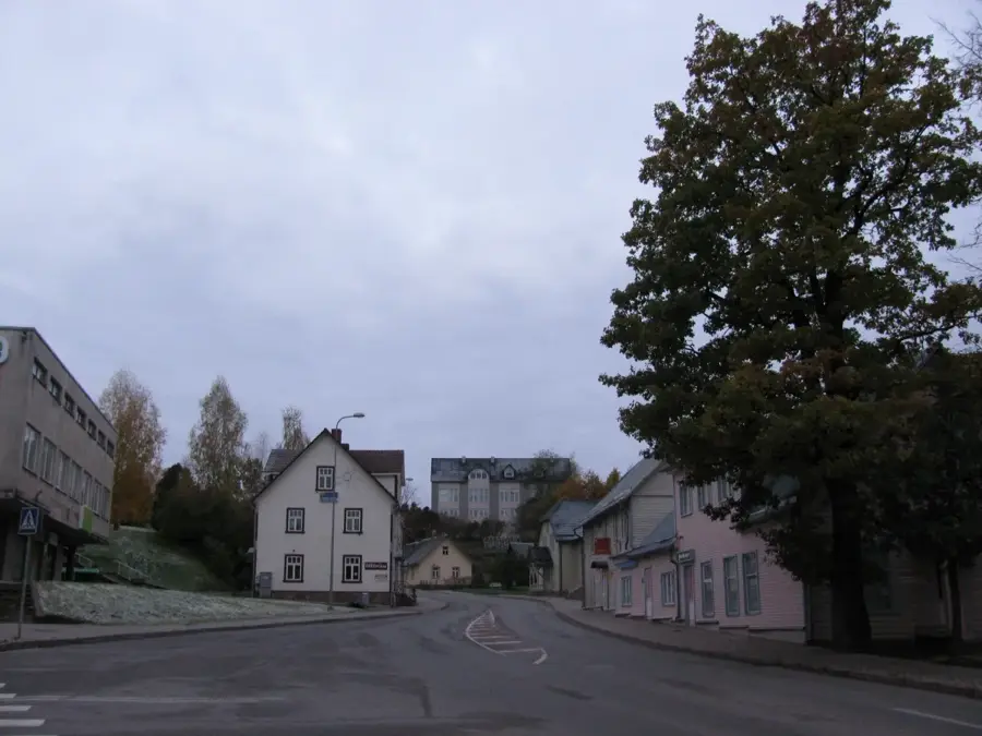
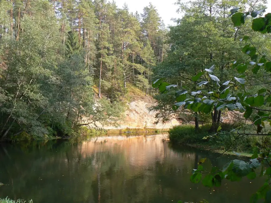
Karula National Park is situated in southern Estonia and, covering roughly 123 square kilometers, it is the smallest national park in the country. Established as a landscape reserve in 1979 and designated a national park in 1993, it protects the unique hilly landscape and diverse ecosystems of the region. The area is characterized by 'cupolas', small, forested hills formed by glacial activity, and contains nearly 40 lakes, with Lake Ähijärv being the largest and most central. The park serves as a critical sanctuary for rare species such as the Black Stork and the Lesser Spotted Eagle, which thrive in its undisturbed forests and wetlands. Beyond its biological significance, Karula is dedicated to preserving the cultural heritage of traditional South Estonian farmsteads and rural lifestyles. Visitors can explore the park via an extensive network of trails that showcase both the tranquil natural beauty and the historical human impact on the land.
- Location: Estonia
- Top sights: Mäekonnu vaatetorn · Ähijärve Veski lõkkekoha ujumiskoht · Ähijärve Alakonnu lõkkekoha ujumiskoht
Best time to visit & climate
The most pleasant time to visit is Jun–Aug.
| Jan | Feb | Mar | Apr | May | Jun | Jul | Aug | Sep | Oct | Nov | Dec | |
|---|---|---|---|---|---|---|---|---|---|---|---|---|
| Avg °C | -7 | -7 | -2 | 5 | 11 | 15 | 18 | 17 | 12 | 5 | 0 | -4 |
| Rain mm | 50 | 42 | 43 | 46 | 59 | 90 | 80 | 87 | 57 | 73 | 68 | 54 |
📋 Practical info
Geography
Facts
- Designated a national park in 1993
- Total area of approx. 123 km²
- Highest point: Rebasejärve Tornimägi
- Contains more than 40 lakes
- Key habitat for the Black Stork
- Member of the Natura 2000 network
Explore nearby
Notable places around
Route planner — Car & Motorhome
Where do you start? We build the route here, with stops and country notes along the way.
© OpenStreetMap contributors · OpenRouteService
Sights in the town Karula National Park (3)
Sights nearby
Frequently asked questions
What is special about Karula National Park?
Is there an entry fee?
Is there an observation tower?
Are there hiking trails?
Where is the visitor center?
Karula National Park: where is it located?
Karula National Park: what is there to see?
Karula National Park: when is the best time to visit?
Karula National Park: why is it worth visiting?

Nearby cities
History & landmarks
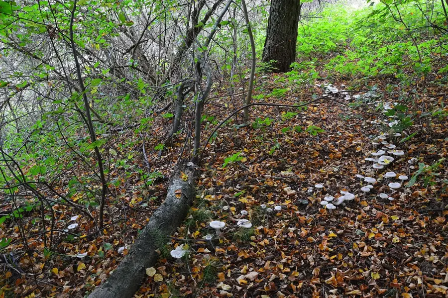
Nature
More places