Plizio Visual Lab
Suure-Mägi
Weather…
Water temperature…
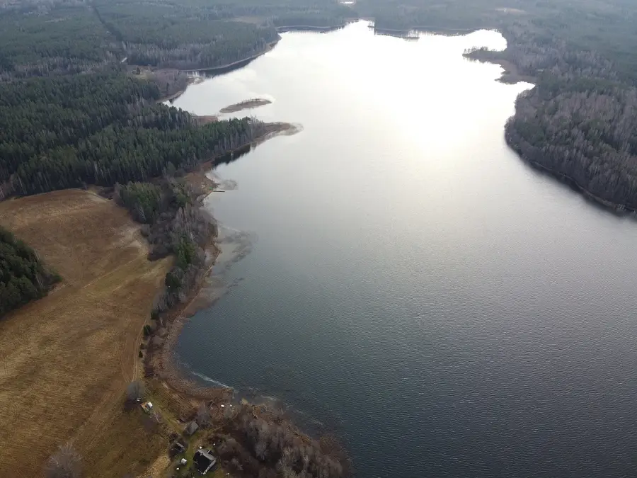
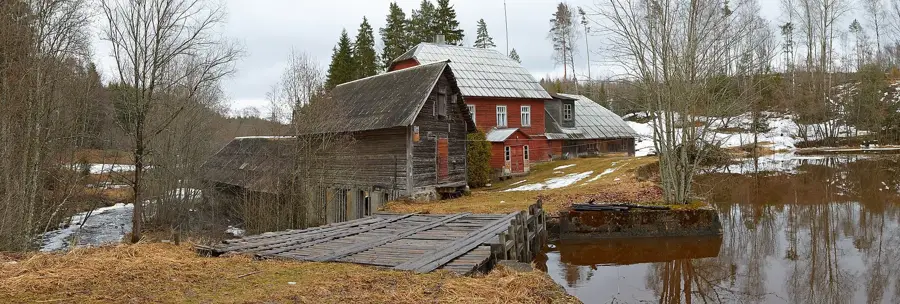
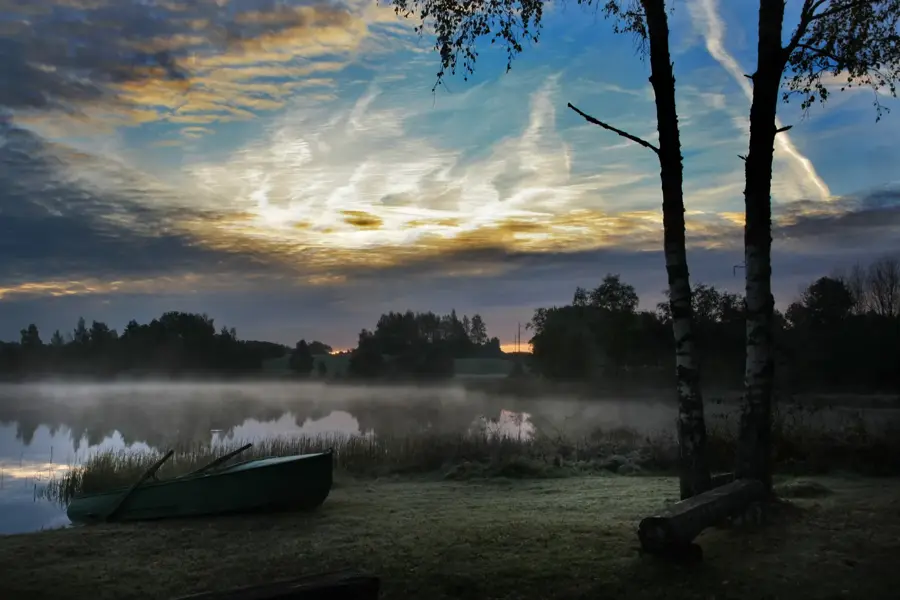
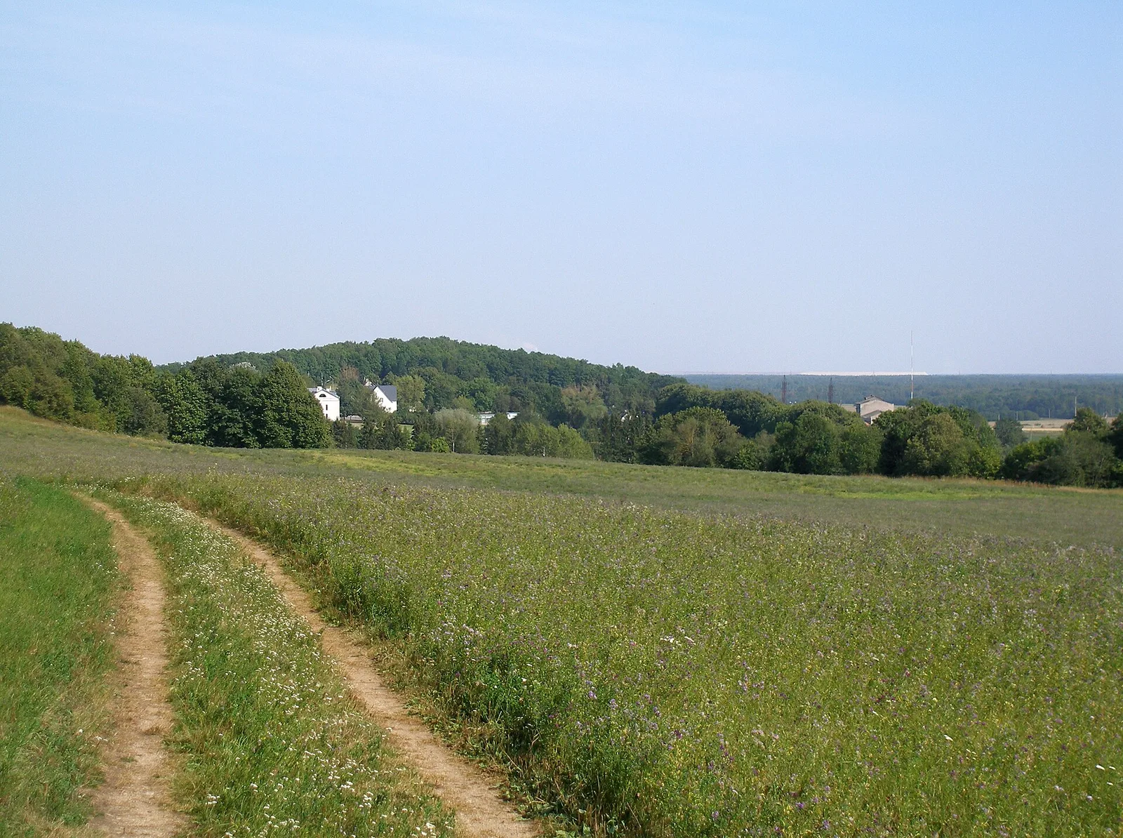
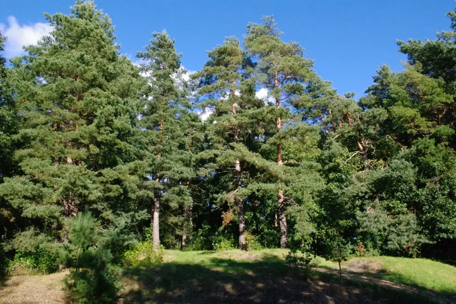
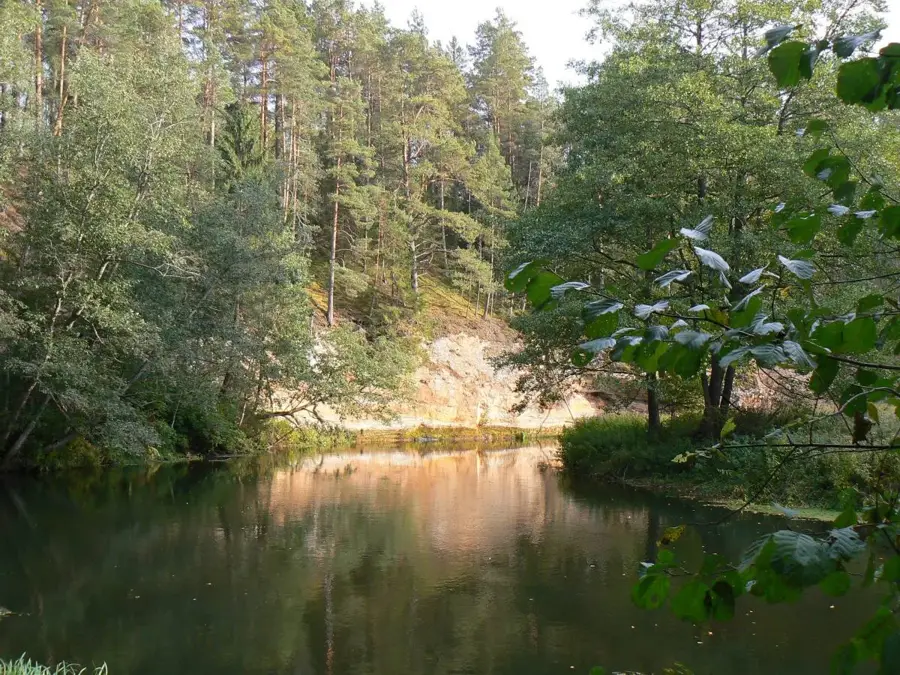
Suure-Magi, which translates to Great Hill, is one of the most prominent elevations in the Karula Upland of southern Estonia. It belongs to a terminal moraine landscape characterized by an exceptionally high density of hills and small lakes formed during the retreat of the Weichselian glacier. Although the summit is modest by alpine standards, its relative height allows it to dominate the surrounding terrain, offering an impressive panoramic view over Karula National Park. The vegetation on Suure-Magi consists of dense mixed forest where birch, aspen, and spruce prevail, providing shelter for numerous wildlife species such as lynx and black storks. Historically, the region was a center for traditional South Estonian agriculture, with the hill's steep slopes often serving as natural boundaries between homesteads. Today, Suure-Magi is a central hub for nature observation and hiking, making the glacial history of the Baltic region tangible for visitors.
- Location: Estonia
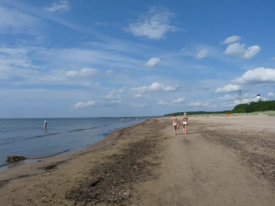
- Top sights: Boose supelrand · Vana-Antsla supelrand · Nässmõisa järve supelrand
Best time to visit & climate
The most pleasant time to visit is Jun–Aug.
| Jan | Feb | Mar | Apr | May | Jun | Jul | Aug | Sep | Oct | Nov | Dec | |
|---|---|---|---|---|---|---|---|---|---|---|---|---|
| Avg °C | -7 | -7 | -2 | 5 | 11 | 15 | 18 | 17 | 12 | 5 | 0 | -4 |
| Rain mm | 52 | 45 | 43 | 47 | 57 | 88 | 74 | 89 | 57 | 71 | 70 | 58 |
📋 Practical info
Geography
Facts
- Located within Karula National Park in southern Estonia.
- The highest or most prominent elevation in its immediate area.
- Part of a complex terminal moraine landscape.
- Significant nesting site for rare birds like the black stork.
- The name Suure-Magi translates to Great Hill.
- Provides panoramic views over the lake-rich Karula region.
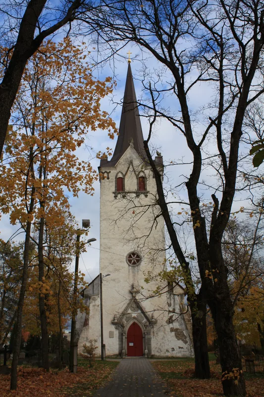
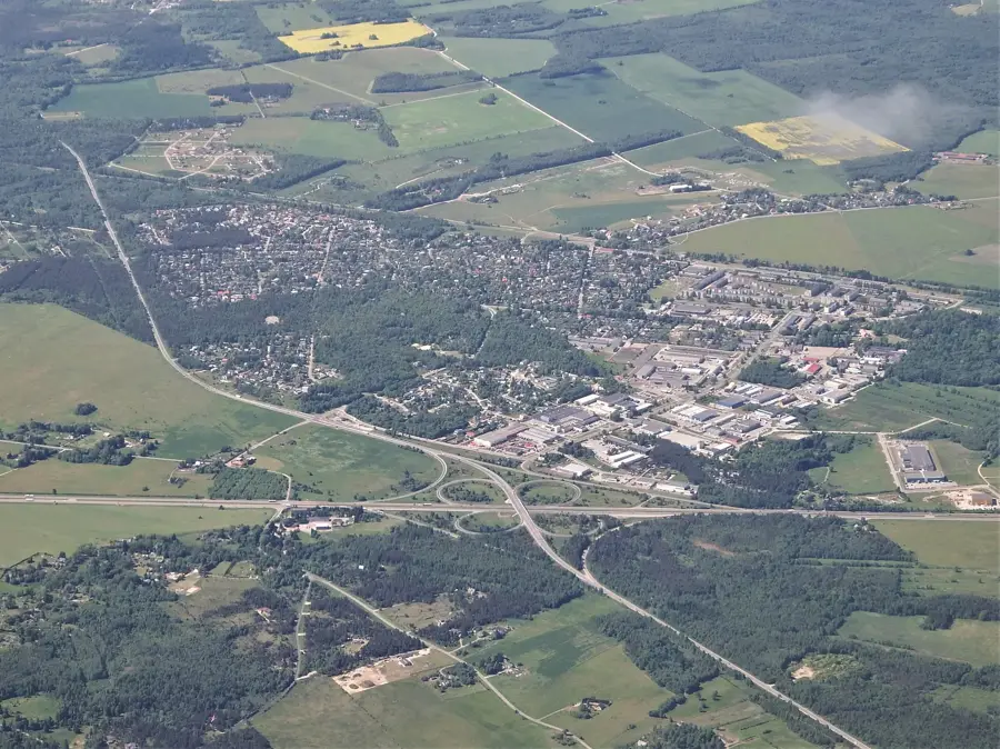
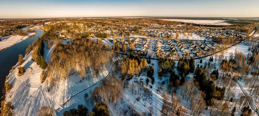
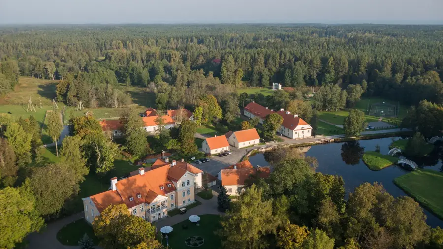
Explore nearby
Notable places around
Route planner — Car & Motorhome
Where do you start? We build the route here, with stops and country notes along the way.
© OpenStreetMap contributors · OpenRouteService
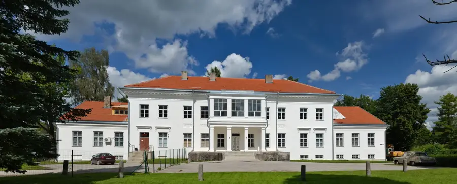
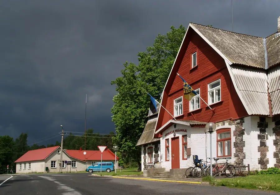
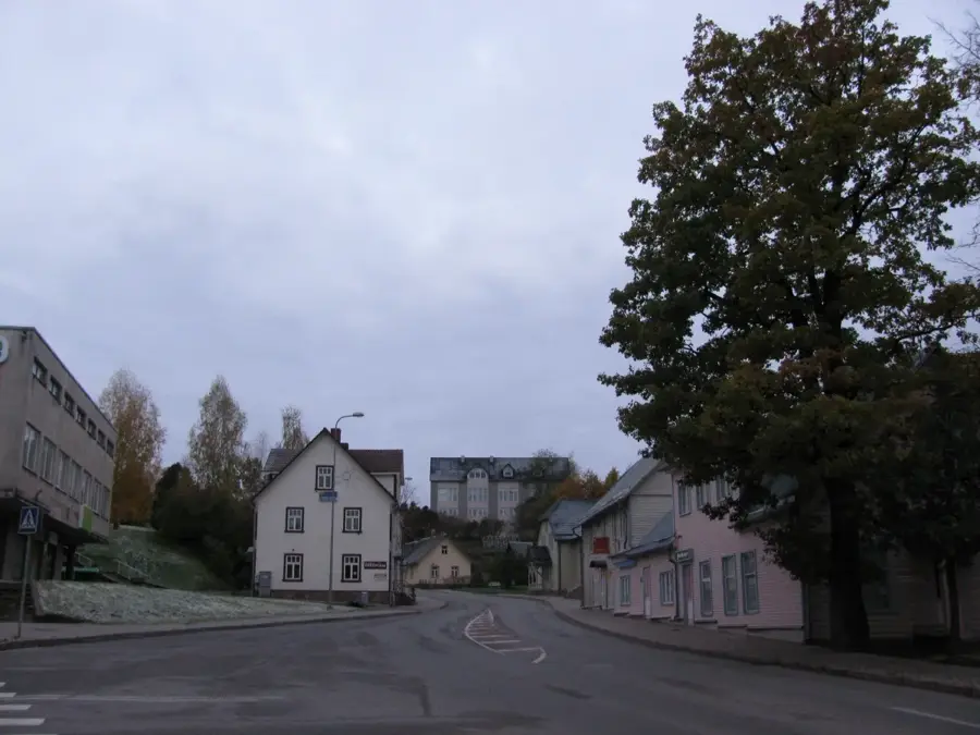
Sights in the town Suure-Mägi (6)
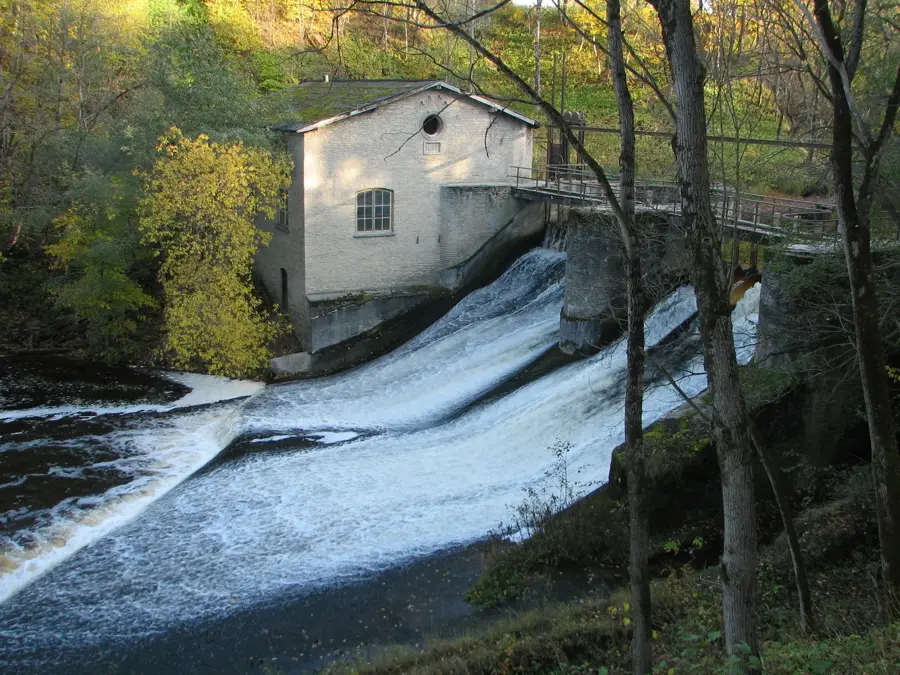
Sights nearby
Frequently asked questions
Is Suure-Mägi the highest mountain in Estonia?
How is the view from the summit?
Is there an observation tower there?
Are hiking boots required?
How long does the ascent take?
Suure-Mägi: where is it located?
Suure-Mägi: what is there to see?
Suure-Mägi: when is the best time to visit?
Suure-Mägi: why is it worth visiting?

Nearby cities
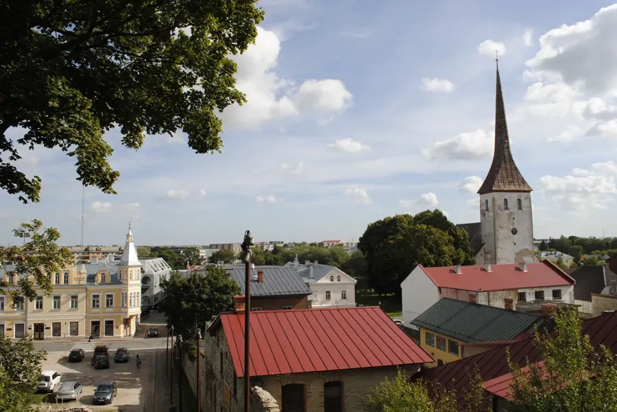
History & landmarks
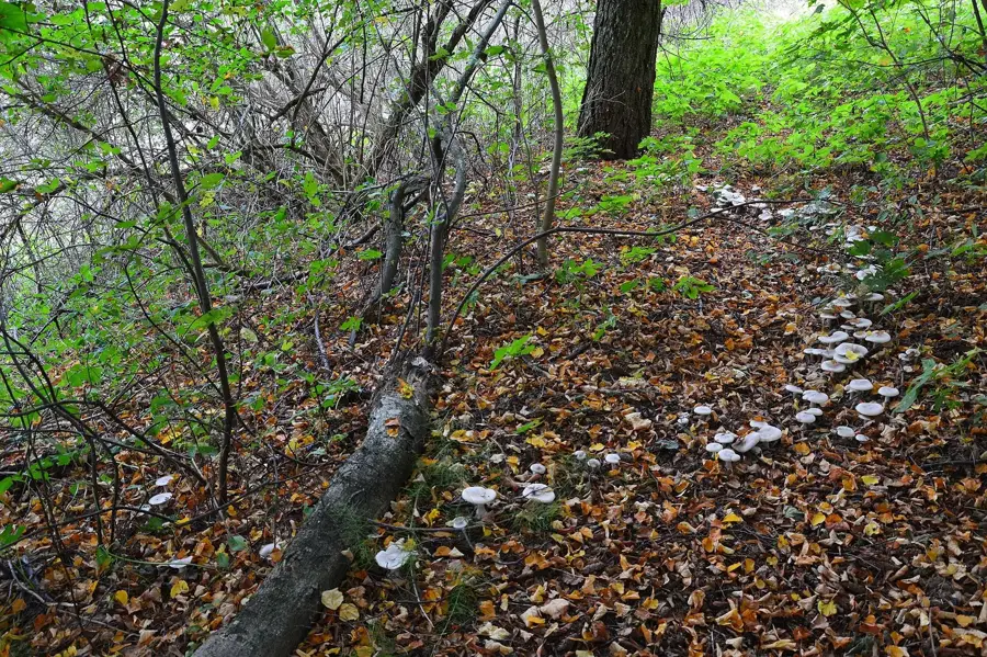
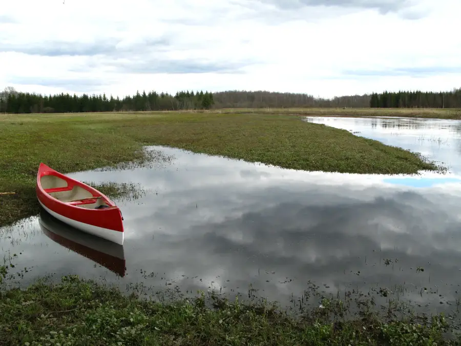
Nature
More places