Plizio Visual Lab

Niefang Highlands

Plizio editorial teamData Sources
Relief
—°
Niefang Highlands (Equatorial Guinea)

Weather…

The Niefang Highlands (Niefang Bergland) are the central mountain range of mainland Equatorial Guinea, forming a rugged north-south backbone through the Rio Muni region. This hilly and mountainous relief serves as a major watershed, directing rainfall into numerous rivers that flow either west to the Atlantic or east into the interior basins. The highlands are covered in dense, primary tropical forest and are known for their high biodiversity and challenging terrain. As a significant geographical barrier, the Niefang range has historically influenced trade routes and the settlement patterns of the Fang people. It remains a critical ecological corridor and a defining feature of the continental landscape. Curriculum: Geography K7, Earth Science K8.

Best time to visit & climate

The most pleasant time to visit is Jun–Aug.

JanFebMarAprMayJunJulAugSepOctNovDec
Avg °C252626262625242424252525
Rain mm1521532662652251166286192369349179

📋 Practical info

🧭
Getting there
Access to this central mountain range is usually via the national roads connecting major mainland cities like Bata to the interior. Branching off onto smaller logging or local roads is often necessary to reach the deeper highland trails.
📅
Best season
The brief dry seasons, generally around December to February and a shorter one in July, offer the most practical conditions for exploration. Heavy equatorial rains during the rest of the year render many dirt tracks entirely impassable.
⛰️
Terrain & paths
The highlands feature dense tropical forest clinging to steep, undulating slopes that cross the continent's interior. Hiking here is physically demanding due to thick vegetation, high humidity, and a lack of properly maintained tourist trails.
🎒
What to bring
Heavy-duty waterproof hiking boots, long rugged trousers, and machetes are often required to navigate the overgrown trails. Complete tropical gear, including reliable GPS navigation and robust insect protection, is absolutely essential.
🅿️
Parking
Vehicles should be left at established villages or logging outposts along the main interior roads where some informal security exists. It is strongly advised to employ local guides who can negotiate safe parking arrangements.
⚠️
Safety
This is a truly rugged and isolated environment; traveling alone or without an experienced local guide is strongly discouraged. Be prepared for encounters with diverse tropical wildlife, snakes, and challenging weather conditions.
⏱️
Time needed
Exploring the depth of these highlands is a serious expedition typically requiring at least two to four days of intense trekking. Shorter day trips are possible only on the very fringes near the accessible main roads.

Geography

Coordinates
1.82400, 10.21500

Facts

  • The central mountain range of mainland Rio Muni.
  • Forms a critical north-south watershed for the region.
  • Characterized by hilly terrain and dense tropical rainforest.
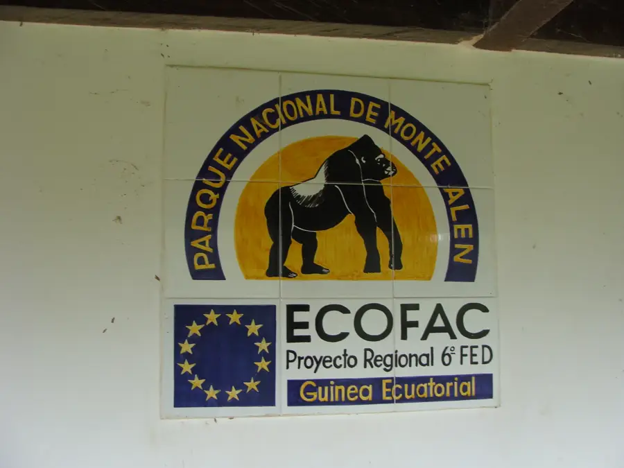
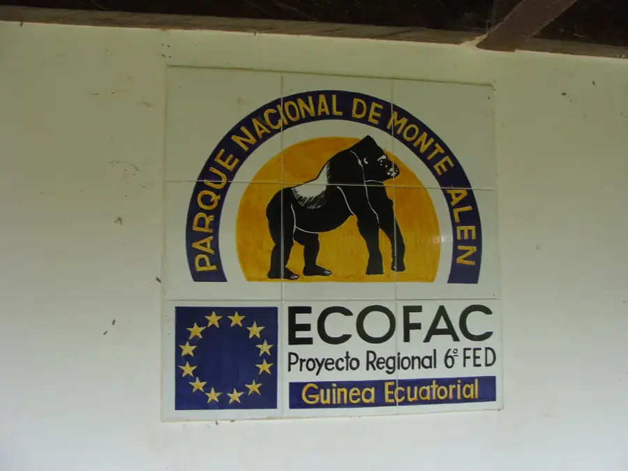
  • Home to the biodiverse Monte Alén National Park.
  • Influences regional rainfall patterns and water supply.
  • Acts as a natural barrier between the coast and the interior.
  • Includes peaks that rise to over 1,000 meters in elevation.

Explore nearby

Notable places around

Route planner — Car & Motorhome

Where do you start? We build the route here, with stops and country notes along the way.

Vehicle
Only stops with (optional):

© OpenStreetMap contributors · OpenRouteService

Sights nearby

Frequently asked questions

Where is the Niefang Highlands located?
It is located in the center of the mainland part, Río Muni, in Equatorial Guinea.
What activities are possible there?
Hiking and nature observation in the dense rainforest are the primary activities.
Are there any large cities nearby?
The town of Niefang serves as the local center and starting point for tours.
What is the terrain like?
It is a highly rugged hilly and mountainous area, almost entirely covered by forest.
Are the roads in the region good?
Main roads are partially paved, but secondary paths often require a 4x4 vehicle.
Niefang Highlands: where is it located?
Niefang Highlands is located in Equatorial Guinea.
Niefang Highlands: when is the best time to visit?
The most pleasant time to visit is Jun, Aug.
Niefang Highlands: why is it worth visiting?
The Niefang Highlands (Niefang Bergland) are the central mountain range of mainland Equatorial Guinea, forming a rugged north-south backbone through the Rio Muni region.
View on map → The Top 50 Attractions → OpenStreetMap →
Africa
Explore with Plizio Discover more places in Africa
More places in Equatorial Guinea →

Nearby cities

Nature

More places