Plizio Visual Lab
Island near Abu Simbel
Weather…
Water temperature…
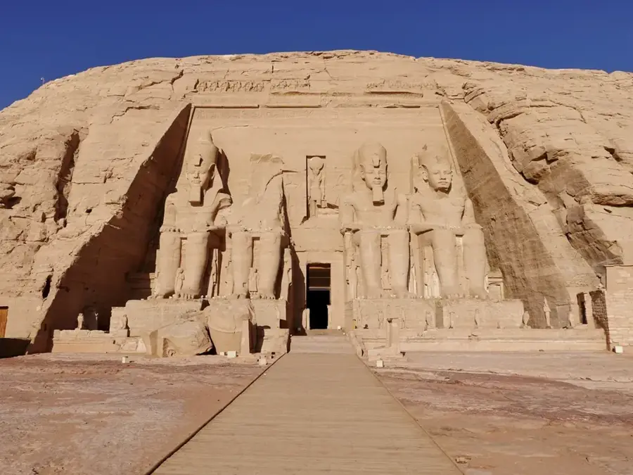
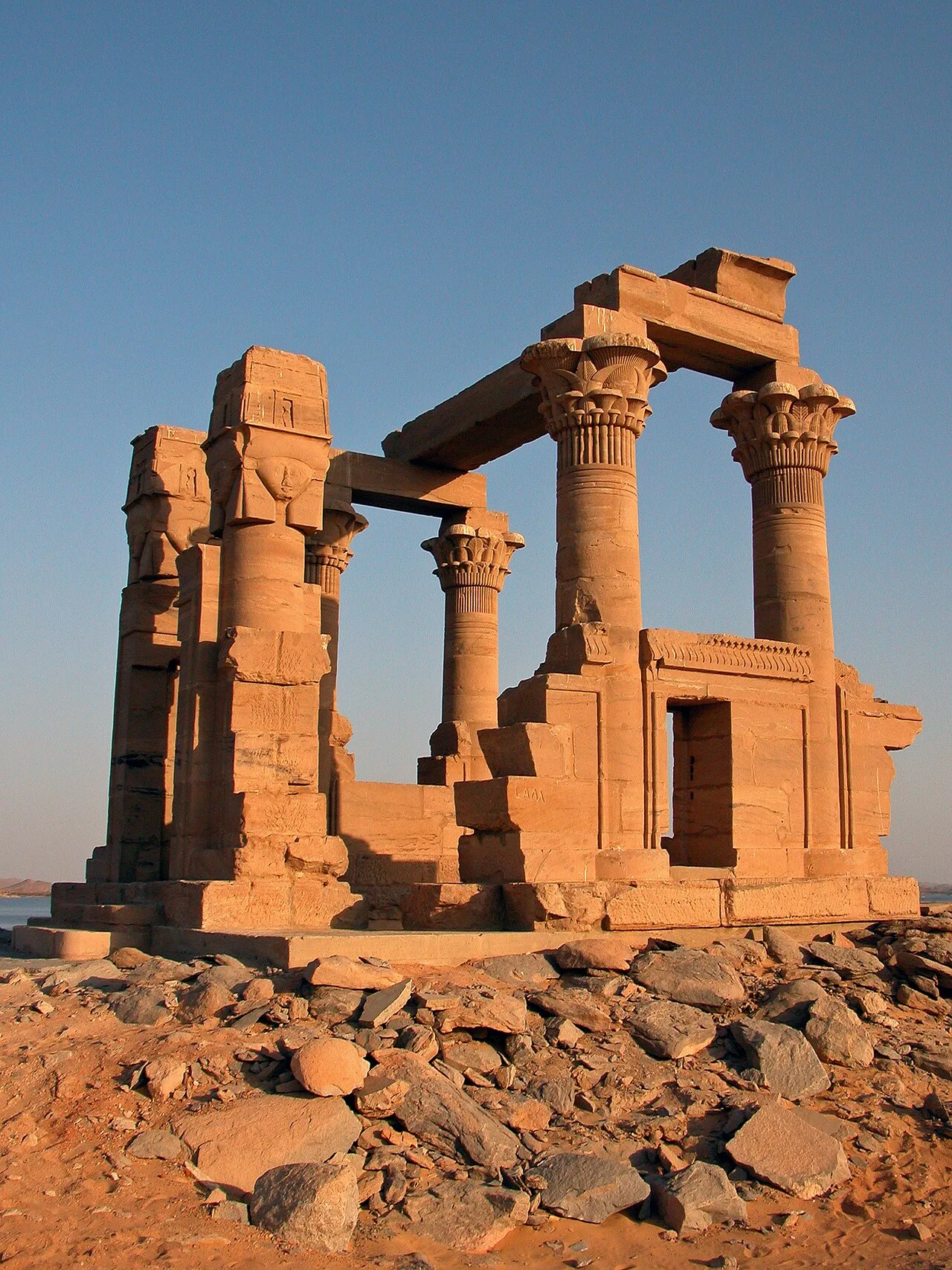
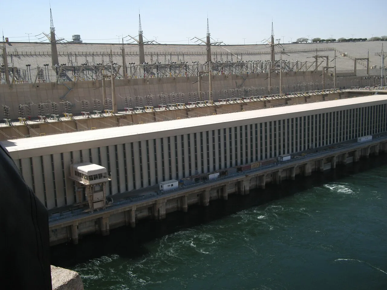
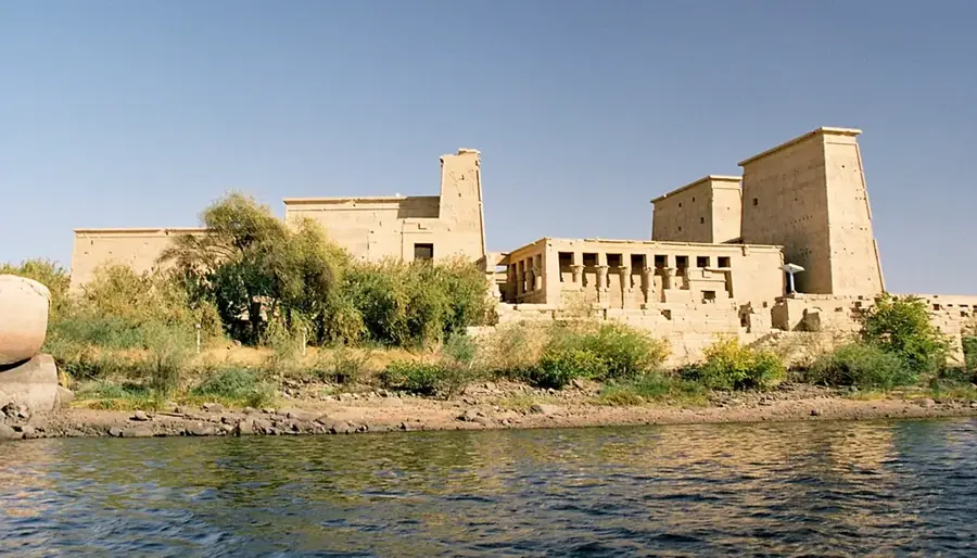
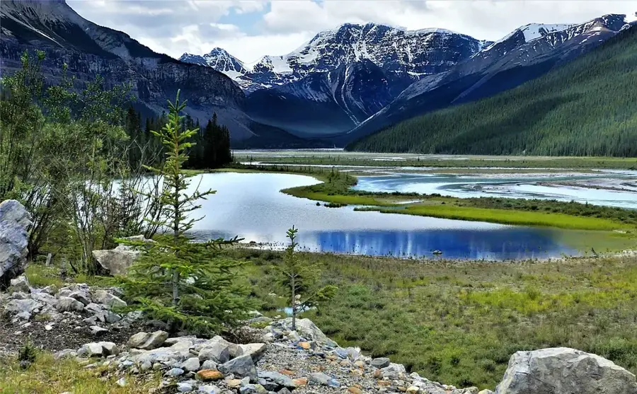
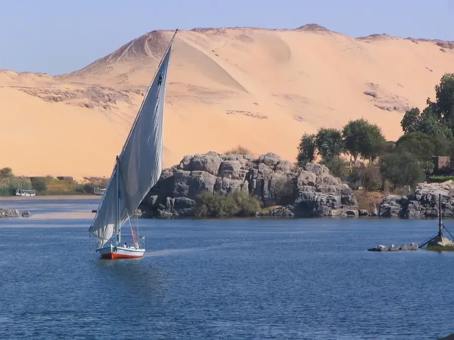
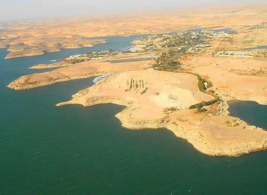
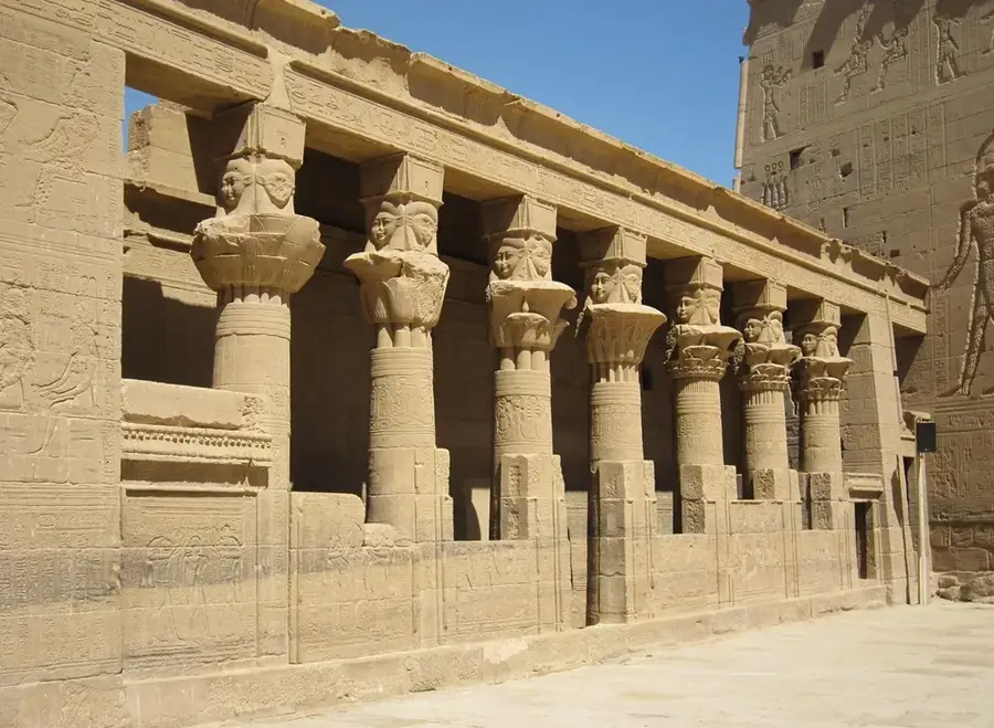
The islands near Abu Simbel are a direct result of the creation of Lake Nasser following the construction of the Aswan High Dam in the 1960s. As the Nile Valley flooded, higher ground was surrounded by water, forming a new island landscape in the middle of the Nubian Desert. These islands are situated in close proximity to the world-famous rock temples of Ramesses II and Nefertari, which were relocated between 1964 and 1968 in an unprecedented UNESCO salvage operation to save them from the rising waters. The ecosystem of the islands has evolved since their formation; they now serve as sanctuaries for various bird species and the Nile crocodiles that inhabit the reservoir. The landscape is characterized by barren sandstone formations that provide a stark contrast to the deep blue waters of the lake. Visitors to Abu Simbel often view these islands during boat tours, which offer a unique perspective on the monumental temple facades from the water.
Best time to visit & climate
The most pleasant time to visit is Feb, Mar, Nov.
| Jan | Feb | Mar | Apr | May | Jun | Jul | Aug | Sep | Oct | Nov | Dec | |
|---|---|---|---|---|---|---|---|---|---|---|---|---|
| Avg °C | 15 | 17 | 22 | 27 | 31 | 33 | 34 | 34 | 32 | 28 | 21 | 16 |
| Rain mm | 0 | 0 | 0 | 0 | 0 | 0 | 0 | 0 | 0 | 0 | 0 | 0 |
📋 Practical info
Geography
Facts
- Created during the filling of Lake Nasser starting in 1964.
- Located in the immediate vicinity of the Abu Simbel UNESCO site.
- Geologically composed of ancient Nubian sandstone.
- Significant habitat for Nile crocodiles and migratory birds.
- Part of one of the world's largest man-made reservoirs.
- Provide shelter for rare desert flora along the shoreline.
Explore nearby
Notable places around
Route planner — Car & Motorhome
Where do you start? We build the route here, with stops and country notes along the way.
© OpenStreetMap contributors · OpenRouteService
Sights nearby
Frequently asked questions
How do you get to the island near Abu Simbel?
Is swimming allowed near the island?
Does the island offer a good view of the temples?
Is there tourist infrastructure there?
What animals can be observed there?
Island near Abu Simbel: where is it located?
Island near Abu Simbel: when is the best time to visit?
Island near Abu Simbel: why is it worth visiting?

Nearby cities
History & landmarks

Nature

More places