Plizio Visual Lab
Beata Island

Weather…
Water temperature…
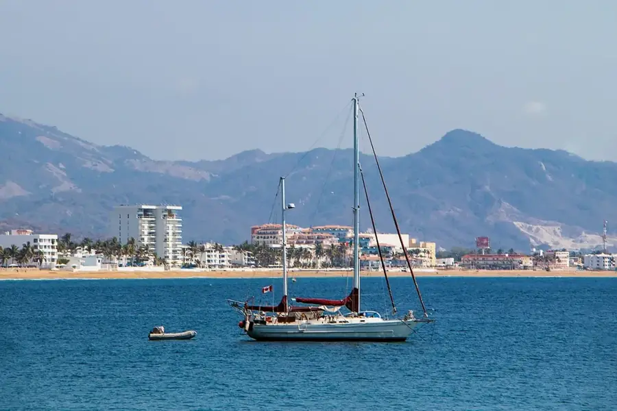
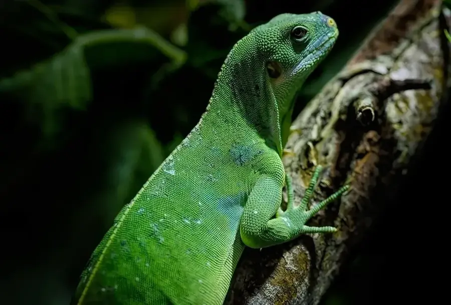
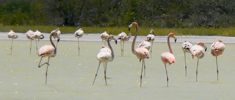
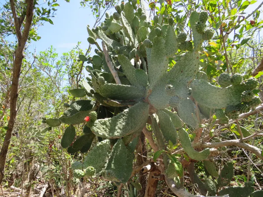
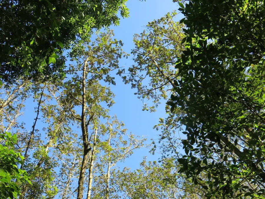
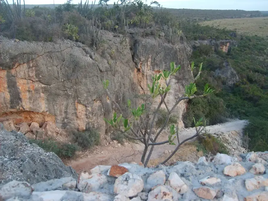
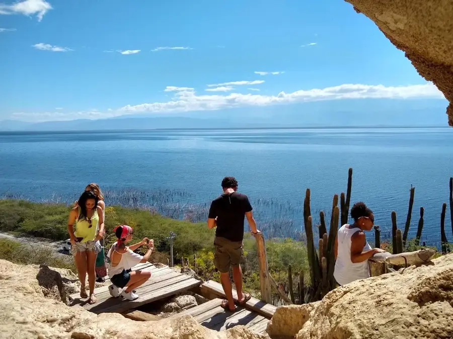
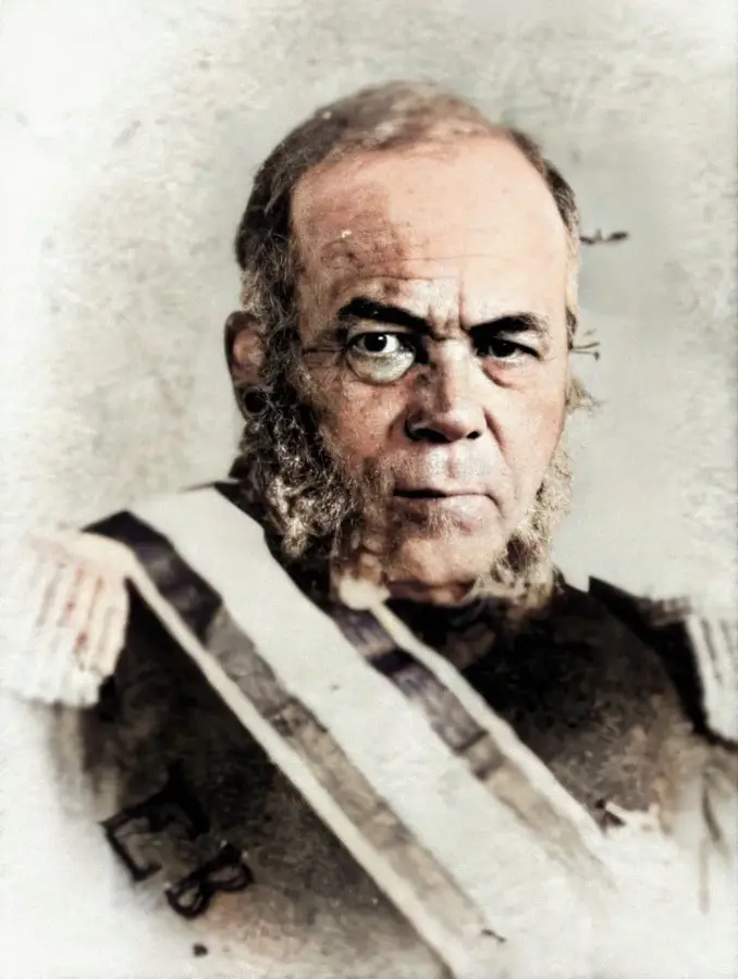
Isla Beata is located approximately seven kilometers southwest of Cabo Falso and is an integral part of the Jaragua National Park in Pedernales province. Spanning about 27 square kilometers, it is the second-largest island in the Dominican Republic, after Saona Island. Geologically, Beata consists of a flat limestone plateau situated off the coast, with a maximum elevation of only 30 meters. Historically, the island was discovered in 1494 by Christopher Columbus during his second voyage to the New World. The flora is dominated by dry tropical forest vegetation, including species like lignum vitae and various cacti, while the fauna is characterized by the presence of the rhinoceros iguana (Cyclura cornuta) and numerous seabird species. The waters surrounding the island feature extensive seagrass beds, which serve as a critical habitat for the queen conch (Lobatus gigas). The island remains uninhabited today, though it hosts a Dominican Navy outpost for monitoring territorial waters.
- Location: Dominican Republic
- Nearby: Pedernales (30 km)
Best time to visit & climate
The most pleasant time to visit is Jan–Mar.
| Jan | Feb | Mar | Apr | May | Jun | Jul | Aug | Sep | Oct | Nov | Dec | |
|---|---|---|---|---|---|---|---|---|---|---|---|---|
| Avg °C | 26 | 26 | 26 | 27 | 27 | 28 | 28 | 28 | 29 | 28 | 28 | 27 |
| Rain mm | 20 | 15 | 22 | 35 | 57 | 52 | 55 | 83 | 65 | 97 | 78 | 34 |
📋 Practical info
Geography
Facts
- The island covers an area of roughly 27 square kilometers.
- Part of the UNESCO-recognized Jaragua National Park.
- Ranked as the second largest island of the nation.
- Spotted by Christopher Columbus in August 1494.
- Home to the endangered rhinoceros iguana species.
- Maximum elevation reaches only 30 meters above sea level.
- Key area for queen conch (Lobatus gigas) conservation.
Explore nearby
Notable places around
Route planner — Car & Motorhome
Where do you start? We build the route here, with stops and country notes along the way.
© OpenStreetMap contributors · OpenRouteService
Sights nearby
Frequently asked questions
Where is Isla Beata located?
Is the island inhabited?
What animals can be seen there?
How can you get there?
What is special about the island?
Beata Island: where is it located?
Beata Island: when is the best time to visit?
Beata Island: why is it worth visiting?

Nearby cities

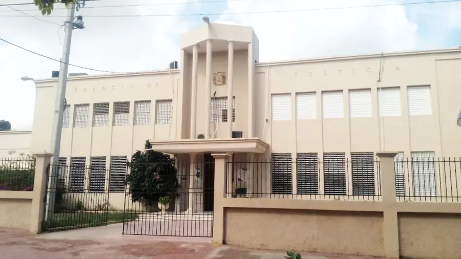
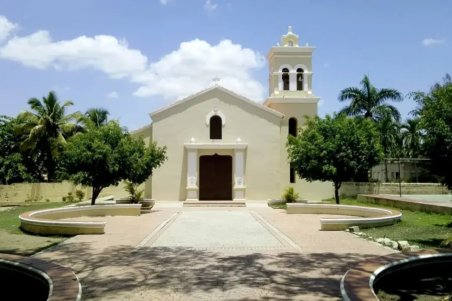
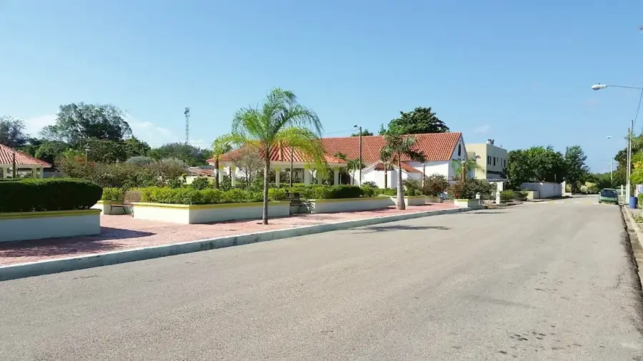
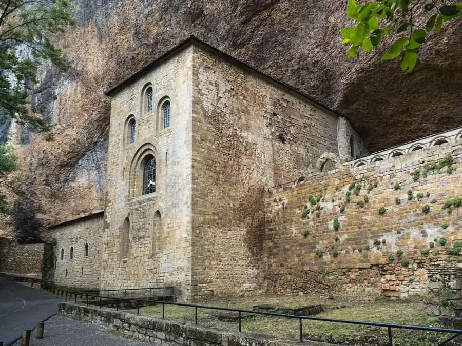

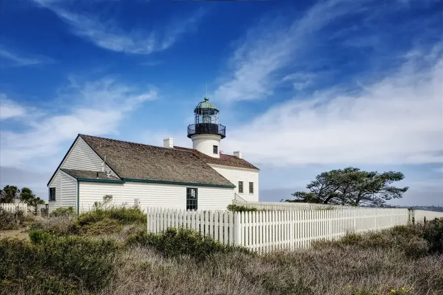
History & landmarks
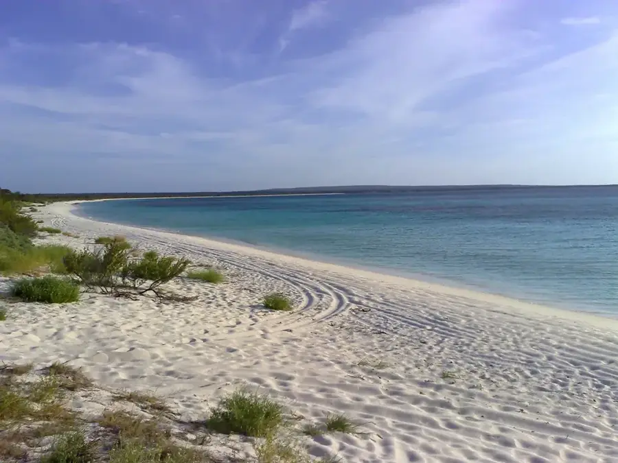
Nature
More places