Plizio Visual Lab
Los Ríos
ℹ️Practical info — Los Ríos
▾
🌤 Weather — 5 days
📍 Nearby
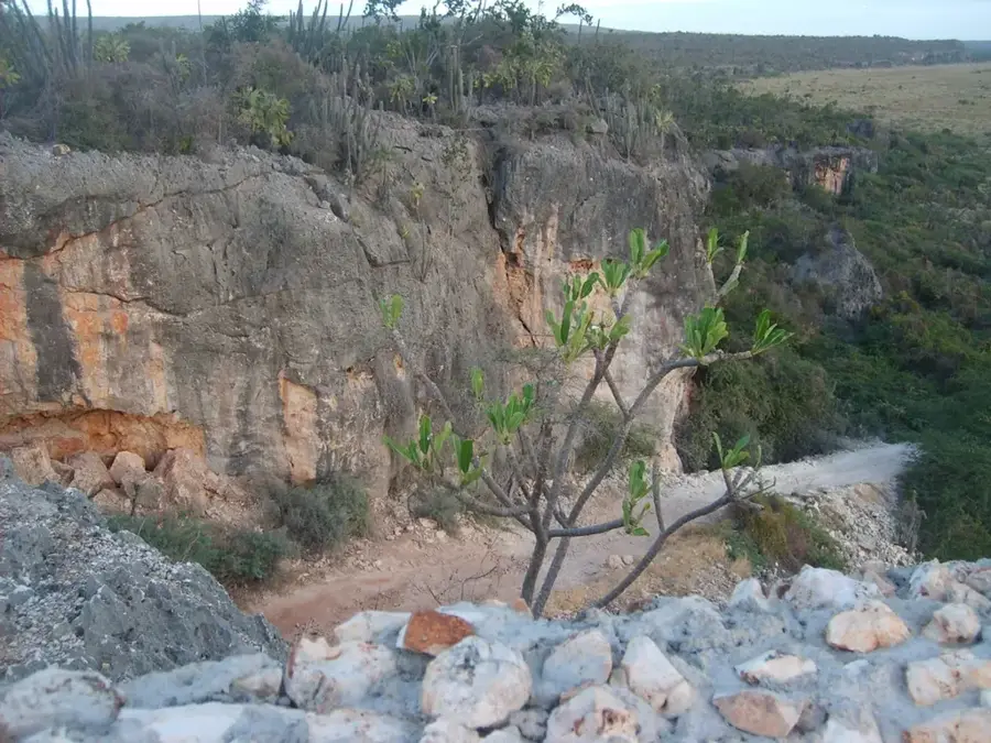
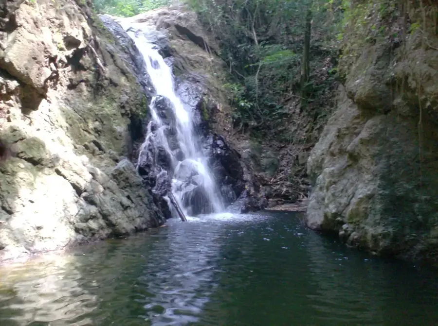
Sights nearby
💡 Tips
- Use motoconchos (motorcycle taxis) for short trips, but agree on the fare beforehand.
- Stock up on cash before arriving, as ATMs can be scarce in smaller mountain municipalities.
- It's a great starting point for exploring the Sierra de Neiba; hire a local guide for hiking.
- The climate is warm, but it gets cooler if you head up into the mountains.
🍽 Food
The traditional Dominican lunch of rice, beans, and meat, available at any local comedor.
Buy fresh mangoes or pineapples directly from roadside vendors.
Try the strong, sweet local coffee served in small cups at the colmados.
🛍 Shopping · 🧘 Quiet spots
The best place to find locally grown coffee and agricultural goods.
Small neighborhood stores where you can buy snacks, drinks, and interact with locals.
Find a quiet spot along the lower trails for peaceful nature walks.
A shaded place to sit and watch the slow pace of rural Dominican life.
Water temperature…
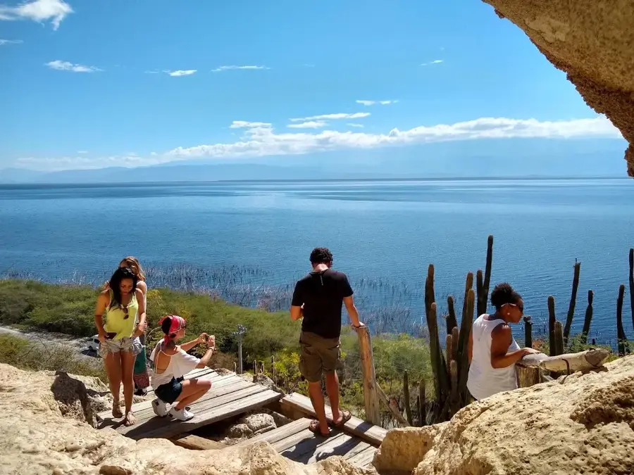
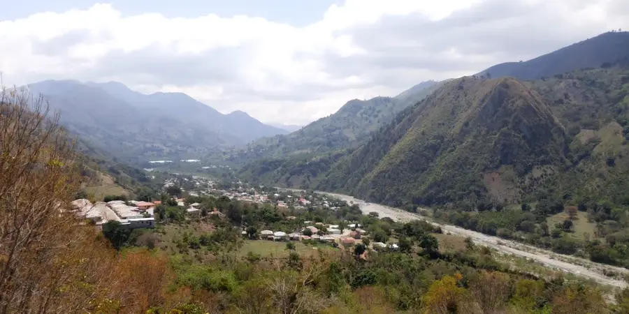
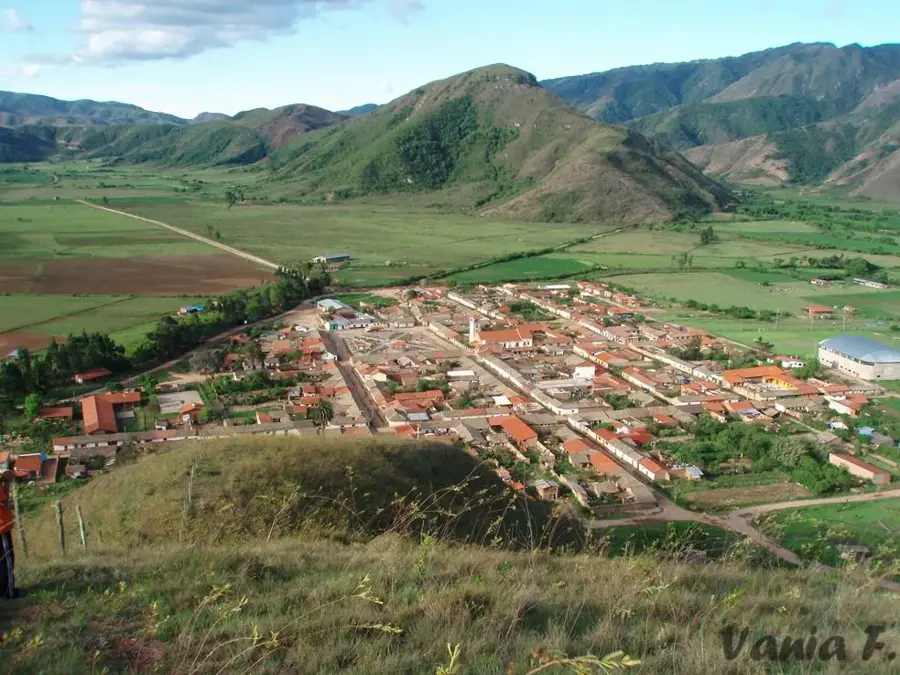
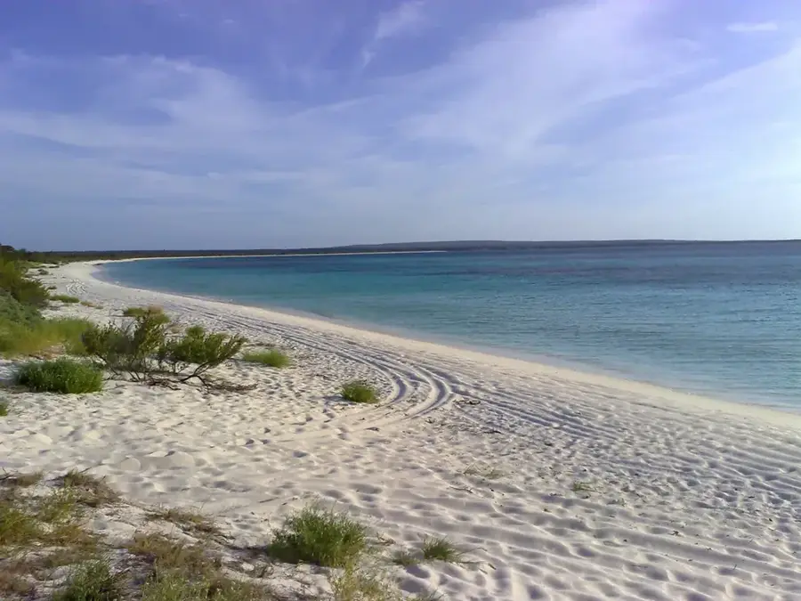
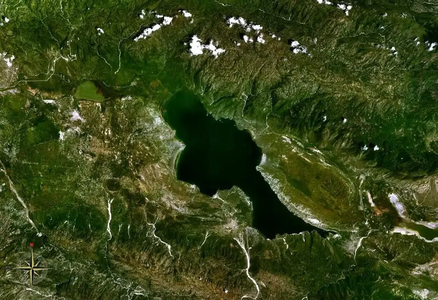
Los Ríos is a pleasant municipality in the Baoruco province, located on the northern shores of Lake Enriquillo, the largest inland body of water in the Caribbean. The area's geography is defined by the impressive Sierra de Neiba range to the north and the arid depression of the lake to the south. Economically, Los Ríos is renowned for its specialized agriculture, particularly grape cultivation and coffee production in the higher elevations. The region benefits from numerous freshwater springs and streams flowing down from the mountains, which gave the town its name. Tourism is increasingly important due to its proximity to the Lake Enriquillo National Park, where visitors can observe iguanas and flamingos. Local culture is deeply rooted in the history of the indigenous Taíno people, as evidenced by archaeological finds in the vicinity. Los Ríos also serves as a significant center for organic farming and the preservation of regional biodiversity.
- Location: Dominican Republic
- Nearby: Guayabal (8 km)
- Population: ~4.440 (2016)
Best time to visit & climate
The most pleasant time to visit is Jan, Feb, Dec.
| Jan | Feb | Mar | Apr | May | Jun | Jul | Aug | Sep | Oct | Nov | Dec | |
|---|---|---|---|---|---|---|---|---|---|---|---|---|
| Avg °C | 24 | 24 | 25 | 26 | 26 | 26 | 27 | 27 | 27 | 26 | 25 | 24 |
| Rain mm | 19 | 18 | 25 | 41 | 67 | 42 | 43 | 69 | 48 | 74 | 63 | 33 |
Geography
Facts
- Los Ríos was officially elevated to a municipality on December 1, 2001.
- The town is located at the lowest point in the Caribbean, below sea level.
- The nearby Las Caritas caves feature significant Taíno petroglyphs.
- Grapes from Los Ríos are highly valued nationwide for wine production.
- The municipality contains a notable ecological preservation zone.
- Numerous natural springs serve as popular public bathing spots.
Explore nearby
Notable places around
Route planner — Car & Motorhome
Where do you start? We build the route here, with stops and country notes along the way.
© OpenStreetMap contributors · OpenRouteService
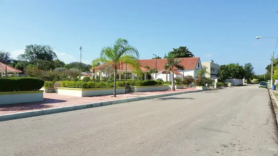
Sights in the town Los Ríos (1)
Frequently asked questions
What is special about Los Ríos?
Can you see crocodiles?
What is the climate like by the lake?
Is there drinking water?
What are 'Las Marías'?
Los Ríos: where is it located?
Los Ríos: when is the best time to visit?
Los Ríos: why is it worth visiting?

Nearby cities


History & landmarks
Nature
More places