Plizio Visual Lab
Jimaní
ℹ️Practical info — Jimaní
▾
🌤 Weather — 5 days
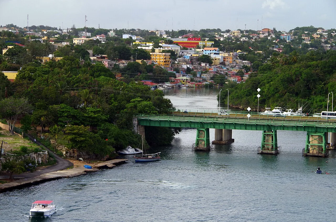
📍 Nearby
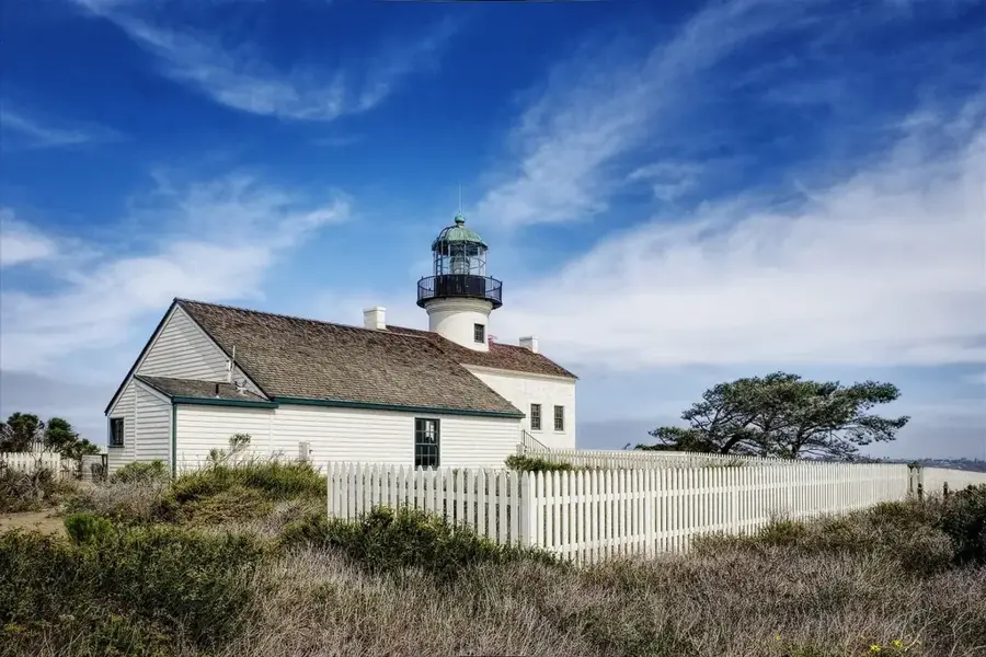
Sights nearby
💡 Tips
- Carry your passport at all times due to frequent border checkpoints.
- The climate is extremely hot and dry; stay hydrated and use sun protection.
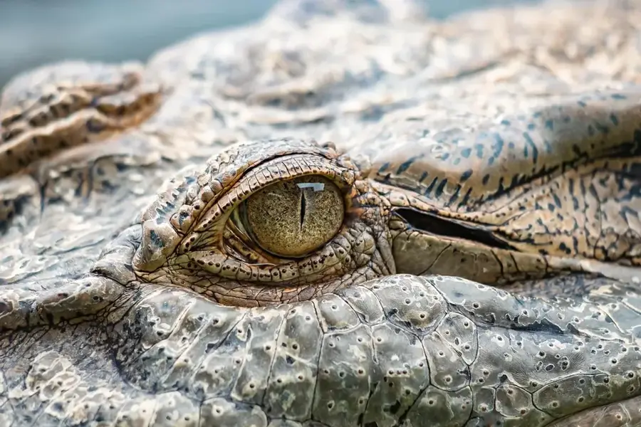
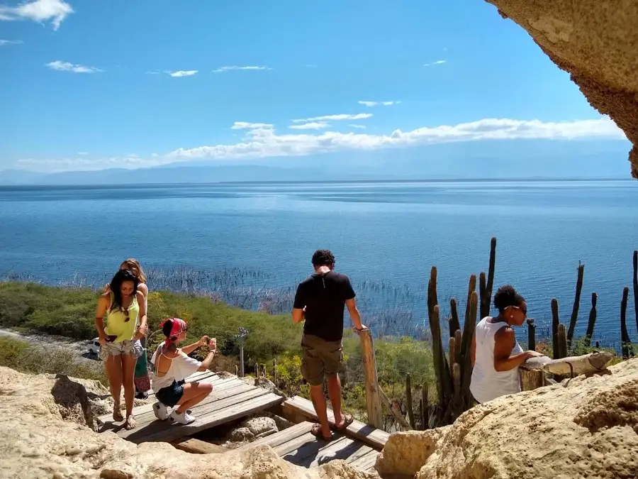
- Visit Lake Enriquillo early in the morning before the heat peaks to see crocodiles.
- Be prepared for a bustling, sometimes chaotic atmosphere near the border on market days.
- Bring enough cash as card payments are rarely accepted outside large establishments.
🍽 Food
A regional specialty available at local comedores.
Freshly caught from the lake, often served fried.
A unique sweet bean dessert, sometimes found locally.
🛍 Shopping · 🧘 Quiet spots
The bi-national market features a mix of Dominican and Haitian products.
Found in small grocery shops in the town center.
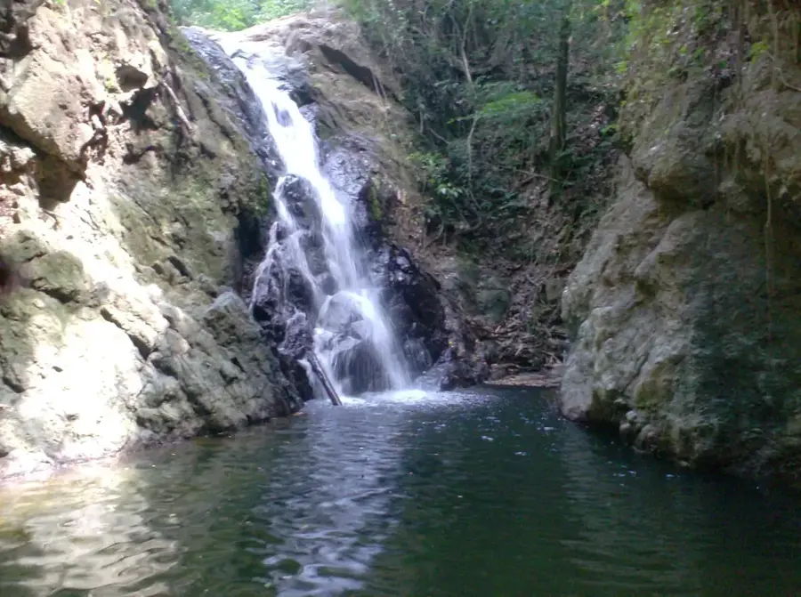
Vast and silent, especially away from the main road.
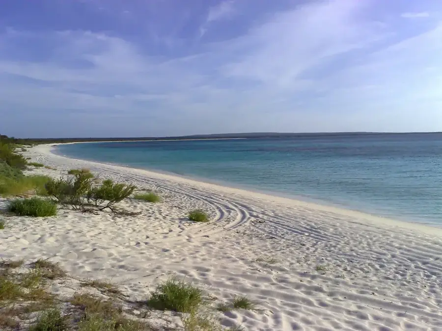
A refreshing, slightly quieter swimming spot on weekdays.
Water temperature…
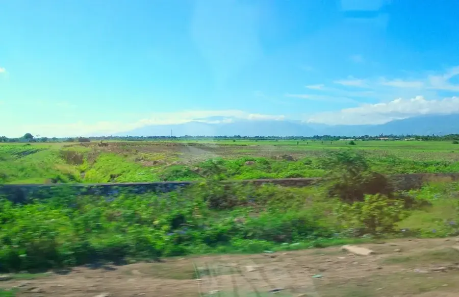
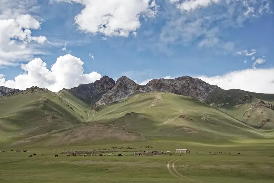
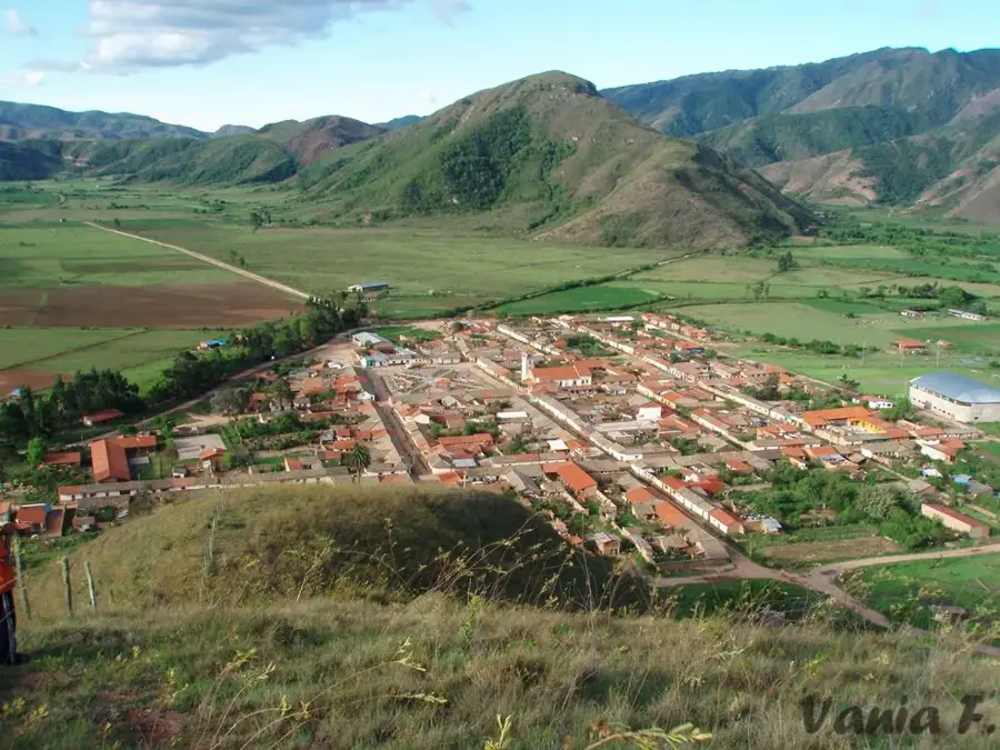
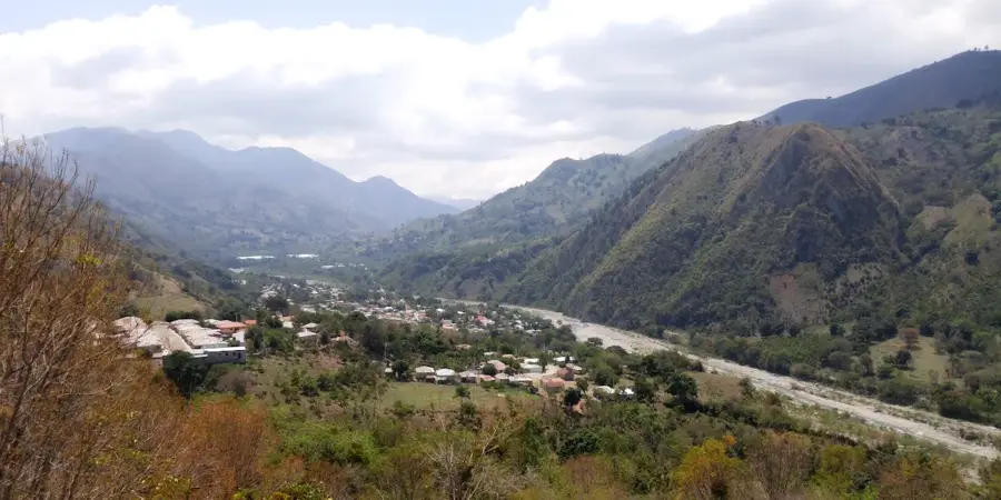
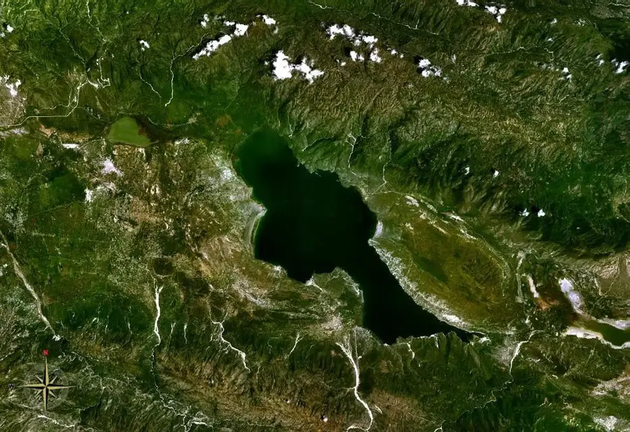
Jimaní is the capital of the Independencia province in the southwest of the Dominican Republic and serves as one of the two most important border crossings to Haiti. The town was officially established in 1943 to solidify the national presence along the border region. Geographically, Jimaní is situated in an extremely hot and arid depression between Lake Enriquillo and the Haitian lake Étang Saumâtre. The town is flanked by the towering ranges of the Sierra de Neiba and the Sierra de Bahoruco, resulting in dramatic mountain scenery. In 2004, the town suffered a major disaster caused by a flash flood of the Soliette River, which destroyed significant portions of the urban area. Today, Jimaní is a vital hub for cross-border trade and logistics, with the majority of land cargo destined for Port-au-Prince passing through this strategic point.
- Location: Dominican Republic
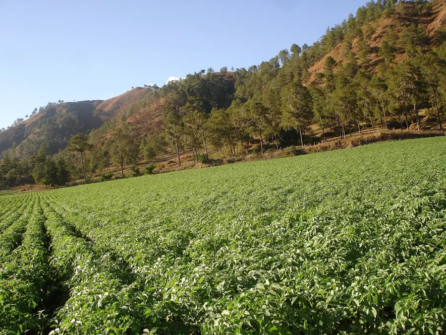
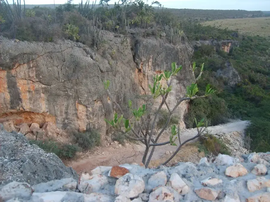
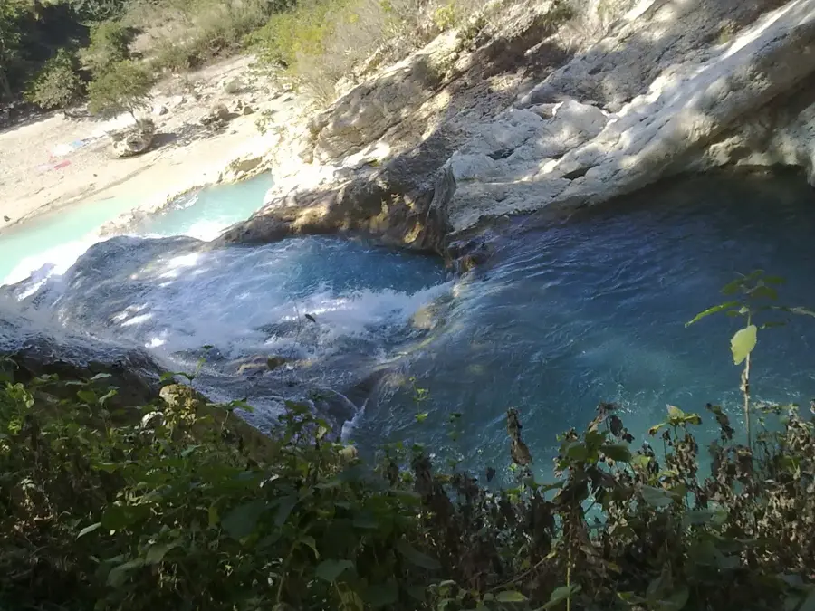
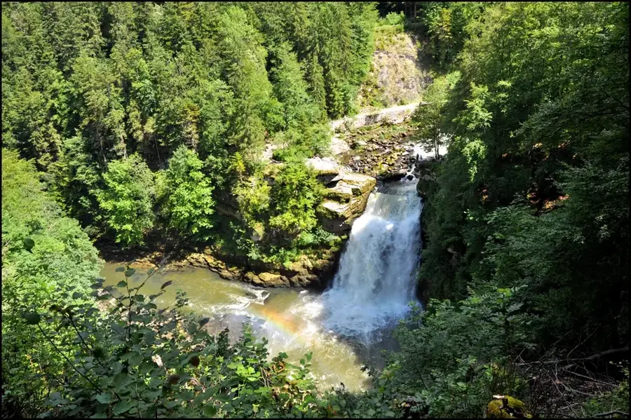
- Top sights: Jimani Field · Rivière Soliette
- Nearby: Hondo Valle (14 km)
- Population: ~6.567 (2026)
Best time to visit & climate
The most pleasant time to visit is Jan, Feb, Dec.
| Jan | Feb | Mar | Apr | May | Jun | Jul | Aug | Sep | Oct | Nov | Dec | |
|---|---|---|---|---|---|---|---|---|---|---|---|---|
| Avg °C | 23 | 24 | 25 | 26 | 26 | 26 | 27 | 27 | 27 | 26 | 25 | 24 |
| Rain mm | 19 | 17 | 26 | 40 | 64 | 41 | 38 | 66 | 45 | 76 | 62 | 29 |
Geography
Facts
- Capital of the Independencia province since its creation in 1943.
- Primary land gateway between Santo Domingo and Port-au-Prince.
- Located in a geological depression near Lake Enriquillo.
- Experienced a devastating flash flood on May 24, 2004.
- Features some of the highest recorded temperatures in the country.
- Situated only 60 kilometers away from the Haitian capital.
Explore nearby
Notable places around
Route planner — Car & Motorhome
Where do you start? We build the route here, with stops and country notes along the way.
© OpenStreetMap contributors · OpenRouteService
Sights in the town Jimaní (2)
Frequently asked questions
Is Jimaní a border crossing?
What can you see nearby?
What is the climate like?
Are there accommodations?
Is a stop worth it?
Jimaní: where is it located?
Jimaní: what is there to see?
Jimaní: when is the best time to visit?
Jimaní: why is it worth visiting?

Nearby cities
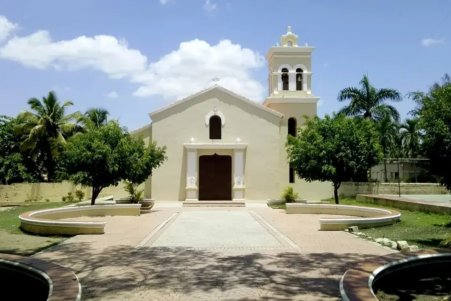

History & landmarks
Nature
More places