Plizio Visual Lab
Hondo Valle

ℹ️Practical info — Hondo Valle
▾
🌤 Weather — 5 days
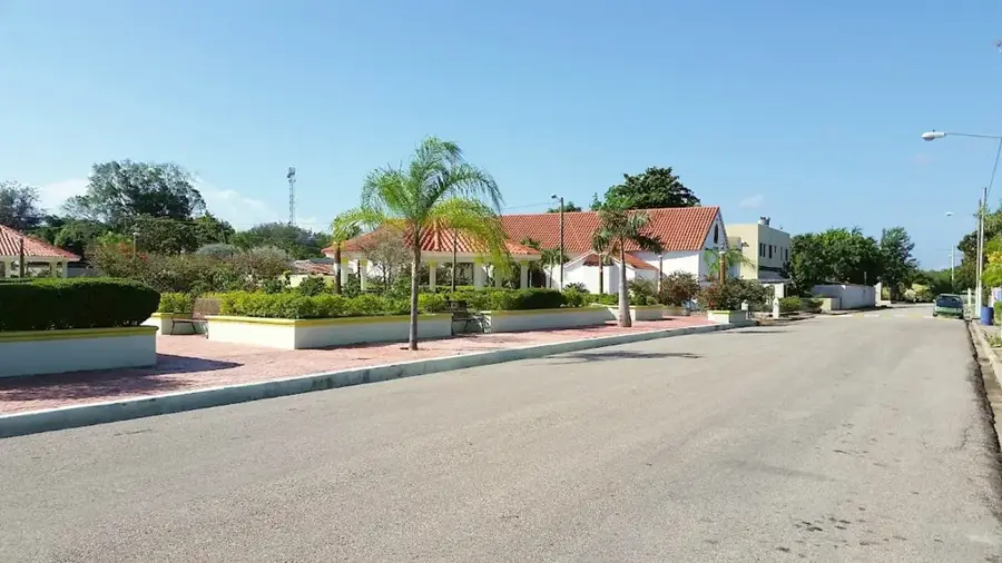
📍 Nearby
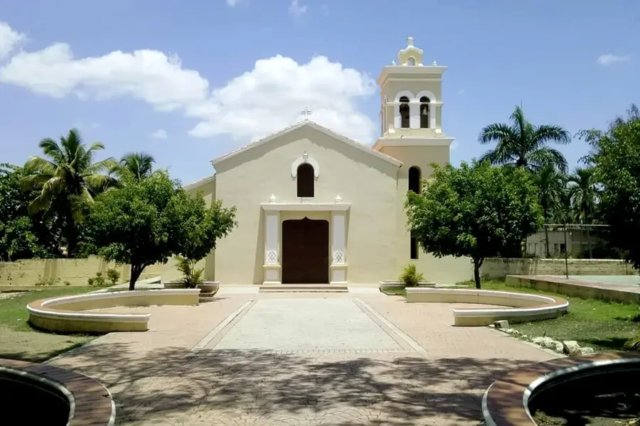
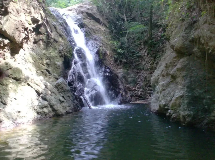
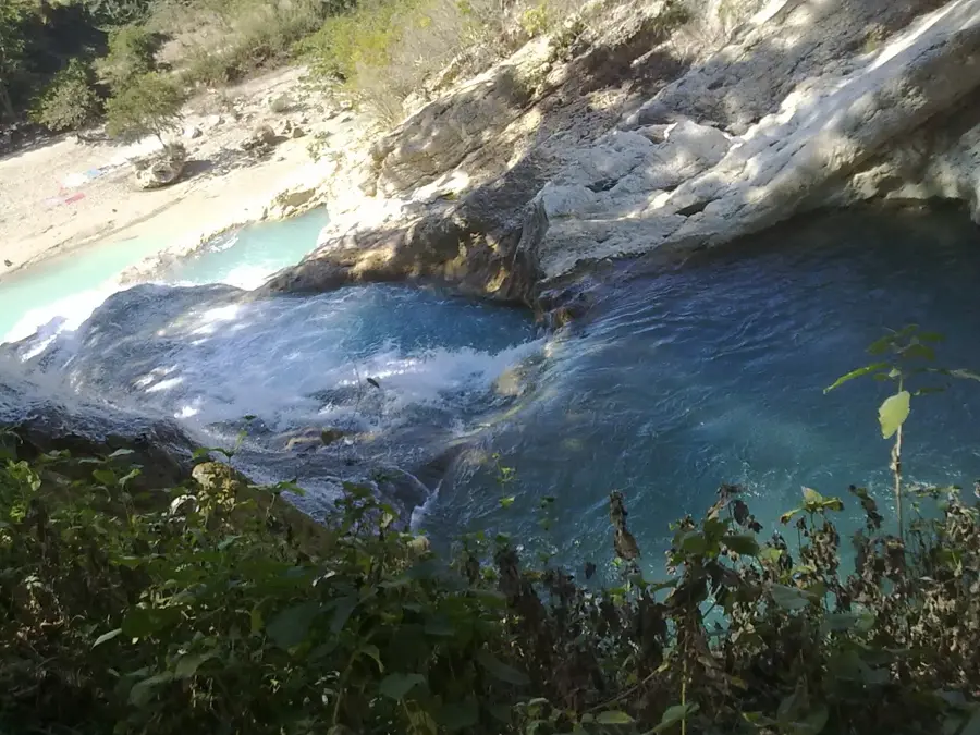
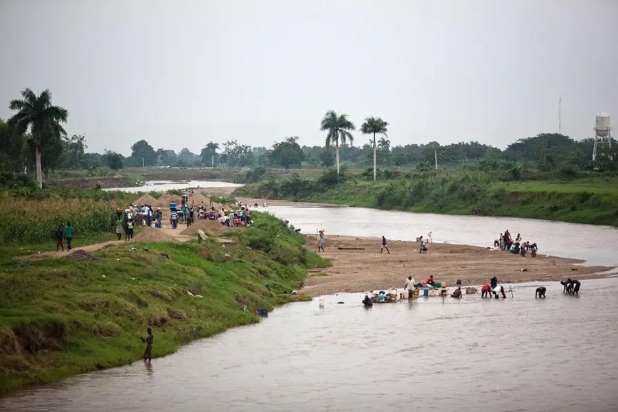
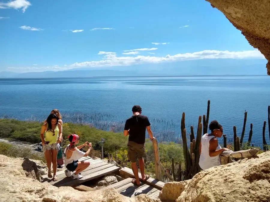
Sights nearby
💡 Tips
- Bring a warm jacket, as the mountain climate at the border is significantly cooler than the rest of the country.
- Always carry your passport with you, as there are military checkpoints in this border region with Haiti.
- Plan overland travel for midday, as dense morning fog often severely limits visibility.
- The primary currency is the peso, but Haitian gourdes are occasionally seen at local vendors.
🍽 Food
Rich, locally grown mountain coffee. Have a freshly brewed cup at small local cafes.
A savory dish made from coarsely ground corn, typical of the southwest. Look for it at lunch in comedores.
A creamy sweet bean dessert, often available during holidays or in local bakeries.
🛍 Shopping · 🧘 Quiet spots
Buy unroasted or locally roasted coffee directly from farmers' outlets in town.
Visit the local market early in the morning for fresh vegetables that thrive in the cool climate.
Walk into the surrounding green hills to escape the hustle and enjoy absolute silence.
On the higher edges of town, you can find wide, quiet panoramic views across the mountains.
Water temperature…
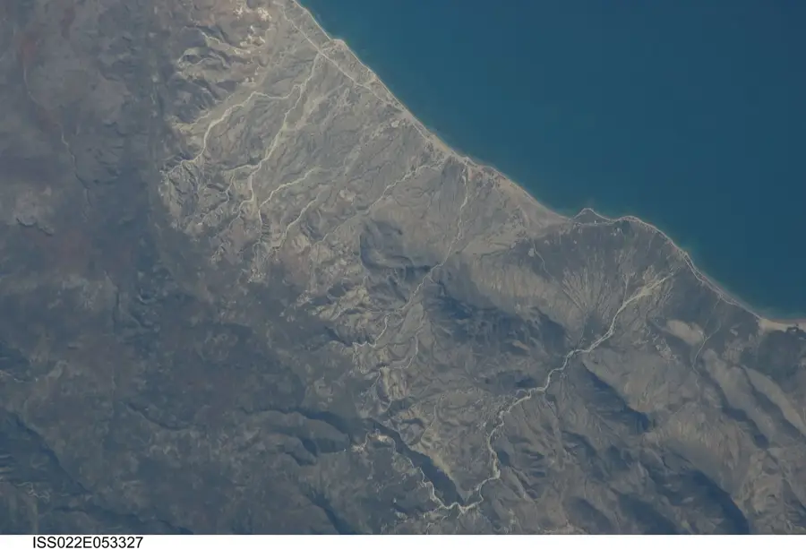
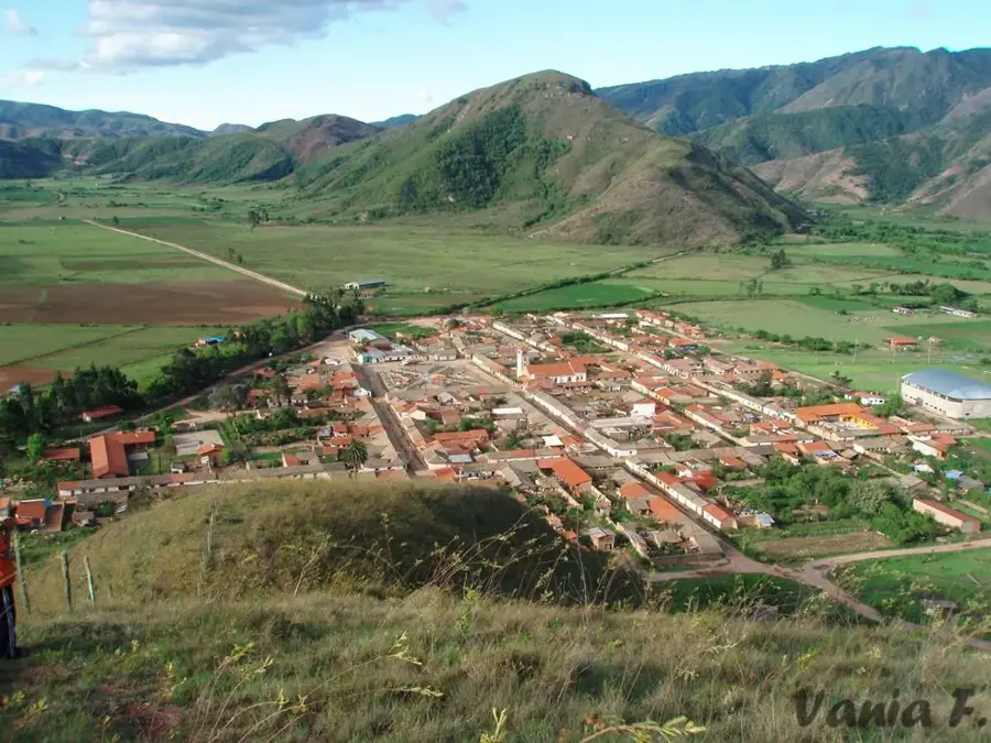
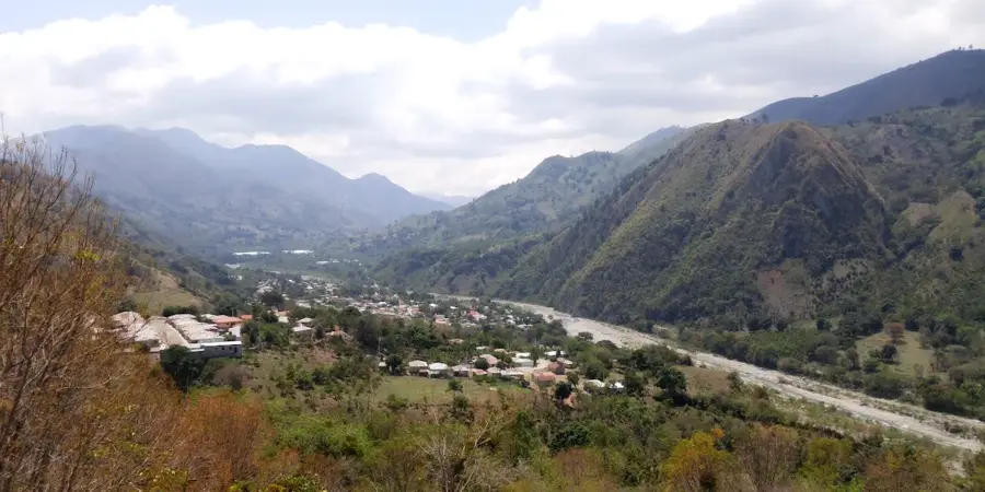
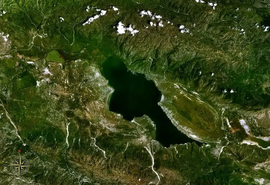
Hondo Valle is located in the Elías Piña province in the western part of the Dominican Republic, right on the border with Haiti. The municipality is situated in a high valley within the Sierra de Neiba range, giving it a cooler climate compared to the rest of the country. Its economy is almost entirely based on agriculture, with the cultivation of coffee, beans, and various fruits being the primary focus. Despite its isolated location, the town plays a significant role in cross-border trade through local markets. The region is renowned for its untouched natural environment and mountainous landscapes that attract hikers and nature enthusiasts. Historically, the area was the site of various border disputes and military outposts for border security. Today, it remains a peaceful rural community that maintains its cultural traditions and serves as a gateway to the unexplored regions of the Sierra.
- Location: Dominican Republic
- Nearby: Postrer Río (7 km)
- Population: ~3.713 (2016)
Best time to visit & climate
The most pleasant time to visit is Jan, Feb, Dec.
| Jan | Feb | Mar | Apr | May | Jun | Jul | Aug | Sep | Oct | Nov | Dec | |
|---|---|---|---|---|---|---|---|---|---|---|---|---|
| Avg °C | 24 | 24 | 25 | 26 | 26 | 26 | 27 | 27 | 27 | 26 | 25 | 24 |
| Rain mm | 19 | 18 | 25 | 41 | 67 | 42 | 43 | 69 | 48 | 74 | 63 | 33 |
Geography
Facts
- The municipality is located at an average elevation of approximately 900 meters above sea level.
- Coffee cultivation is the main source of income for the local population.
- Hondo Valle was officially elevated to the status of a municipality in 1978.
- The average temperature is around 21 degrees Celsius due to the high altitude.
- The town directly borders the Centre Department of Haiti.
- The Sierra de Neiba range surrounds the valley, providing protection from tropical storms.
Explore nearby
Notable places around
Route planner — Car & Motorhome
Where do you start? We build the route here, with stops and country notes along the way.
© OpenStreetMap contributors · OpenRouteService
Frequently asked questions
Where exactly is Hondo Valle located?
What makes the climate in Hondo Valle special?
What is the city's main economic product?
Are the hiking trails marked there?
What clothing should I bring?
Hondo Valle: where is it located?
Hondo Valle: when is the best time to visit?
Hondo Valle: why is it worth visiting?

Nearby cities

History & landmarks
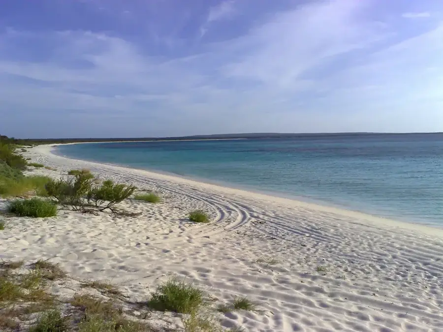
Nature
More places