Plizio Visual Lab
Alto Velo Island

Weather…
Water temperature…
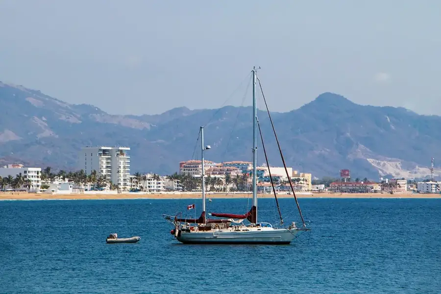
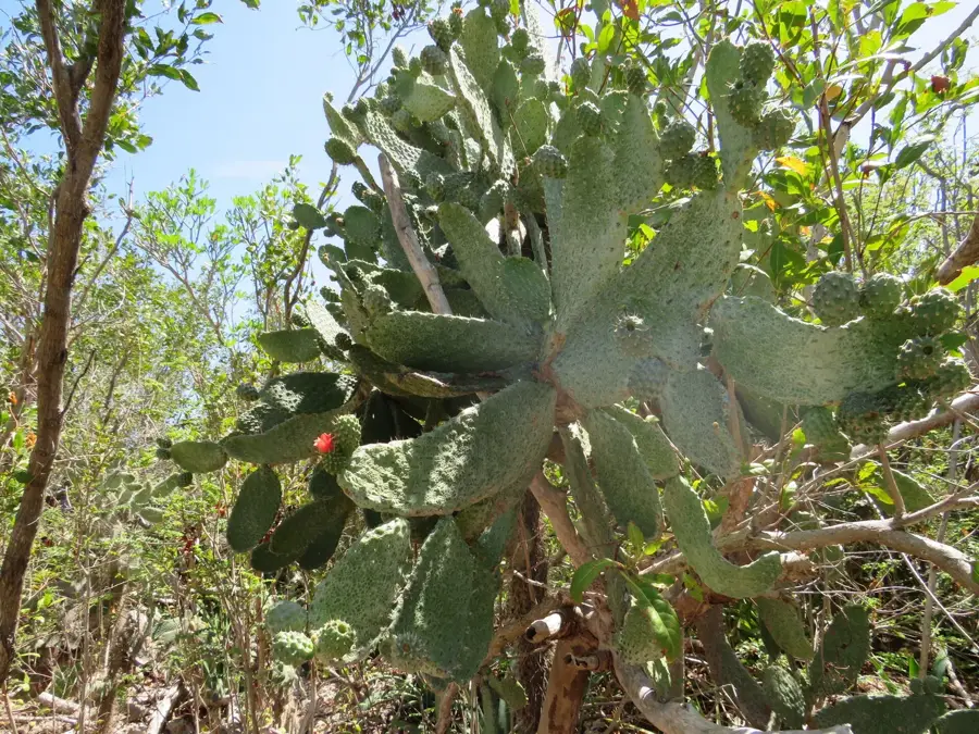
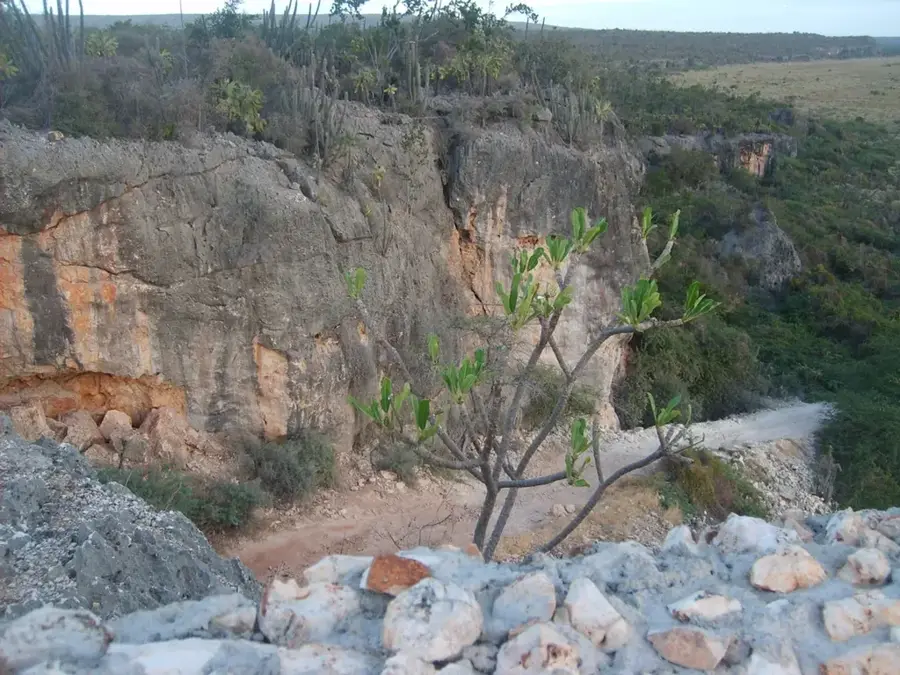
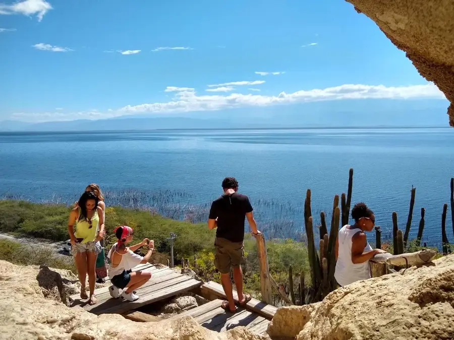
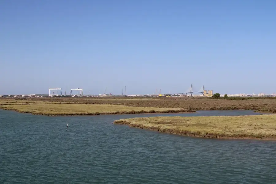
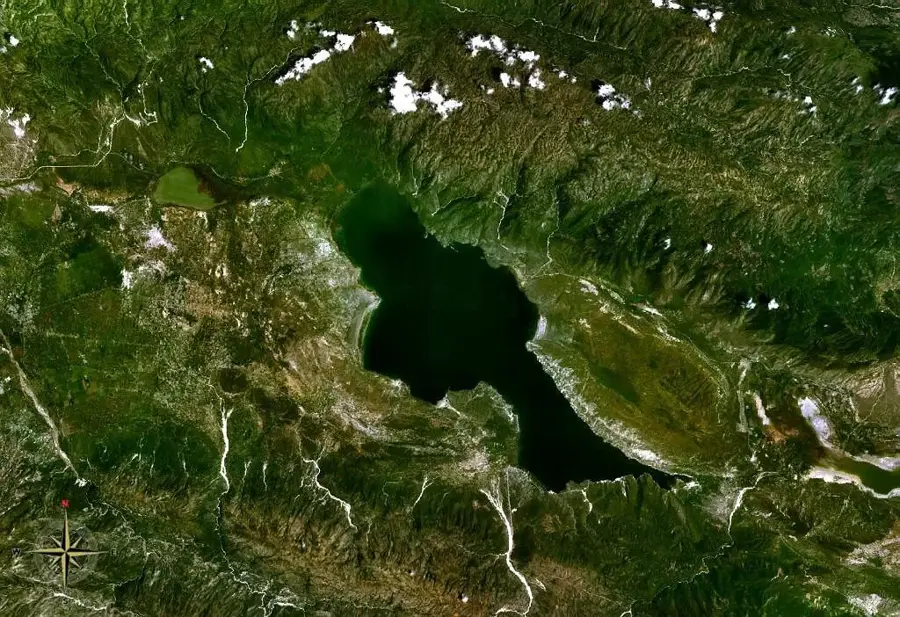
Alto Velo Island is a small, uninhabited landmass located in the Caribbean Sea, approximately 12 kilometers south of Beata Island in the Dominican Republic. It represents the southernmost point of the country's territory and is part of the Jaragua National Park, which was established in 1983 to protect the region's biodiversity. The island is characterized by its prominent conical shape, reaching an elevation of 152 meters, making it a critical navigational landmark for sailors since the colonial era. Historically, the island gained significance during the 19th century due to its extensive guano deposits, which led to mining operations and territorial disputes between the Dominican Republic and the United States. Biologically, it serves as one of the most important nesting sites in the Antilles for seabirds, particularly the sooty tern, and hosts several endemic reptile species. Today, the island remains a strictly protected scientific reserve, accessible only with special permits for research and conservation purposes.
- Location: Dominican Republic
- Nearby: Pedernales (22 km)
Best time to visit & climate
The most pleasant time to visit is Jan–Mar.
| Jan | Feb | Mar | Apr | May | Jun | Jul | Aug | Sep | Oct | Nov | Dec | |
|---|---|---|---|---|---|---|---|---|---|---|---|---|
| Avg °C | 26 | 26 | 26 | 27 | 27 | 28 | 28 | 28 | 29 | 28 | 28 | 27 |
| Rain mm | 20 | 15 | 22 | 35 | 57 | 52 | 55 | 83 | 65 | 97 | 78 | 34 |
📋 Practical info
Geography
Facts
- Highest elevation reaches 152 meters above sea level
- Integrated into Jaragua National Park in 1983
- Discovered by Christopher Columbus in 1494 during his second voyage
- Extensive guano mining occurred during the 19th century
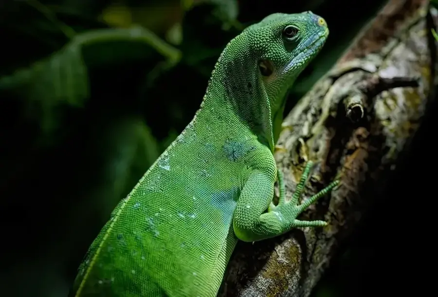
- Home to the endemic lizard species Anolis altovelensis
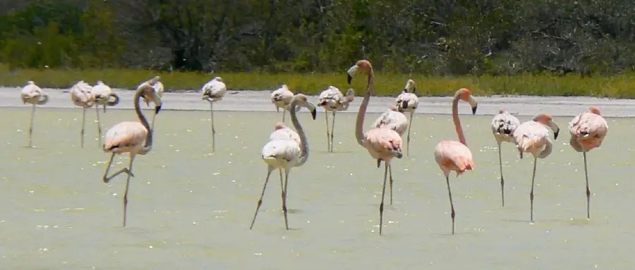
- Hosts the largest nesting colony of sooty terns in the Antilles
Explore nearby
Notable places around
Route planner — Car & Motorhome
Where do you start? We build the route here, with stops and country notes along the way.
© OpenStreetMap contributors · OpenRouteService
Sights nearby
Frequently asked questions
Where is Isla Alto Velo located?
Why is it called 'Alto Velo'?
Can you visit the island?
What is the main attraction?
Is there vegetation there?
Alto Velo Island: where is it located?
Alto Velo Island: when is the best time to visit?
Alto Velo Island: why is it worth visiting?

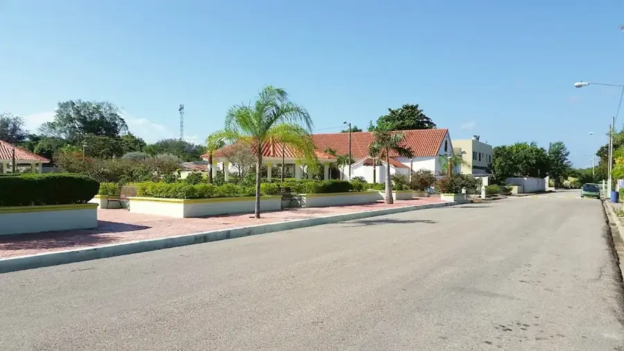
Nearby cities

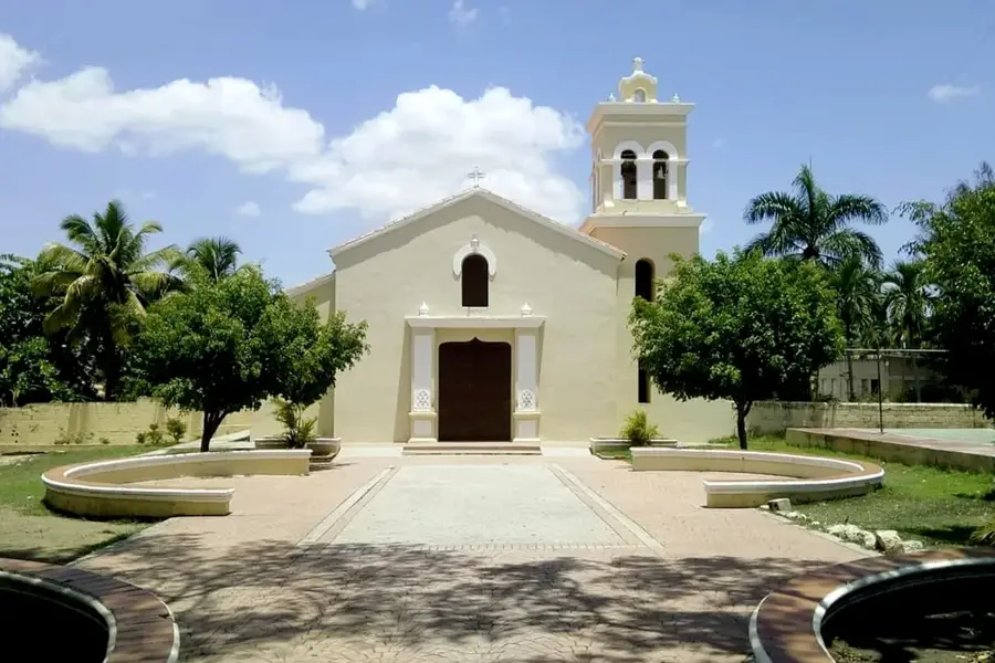
History & landmarks
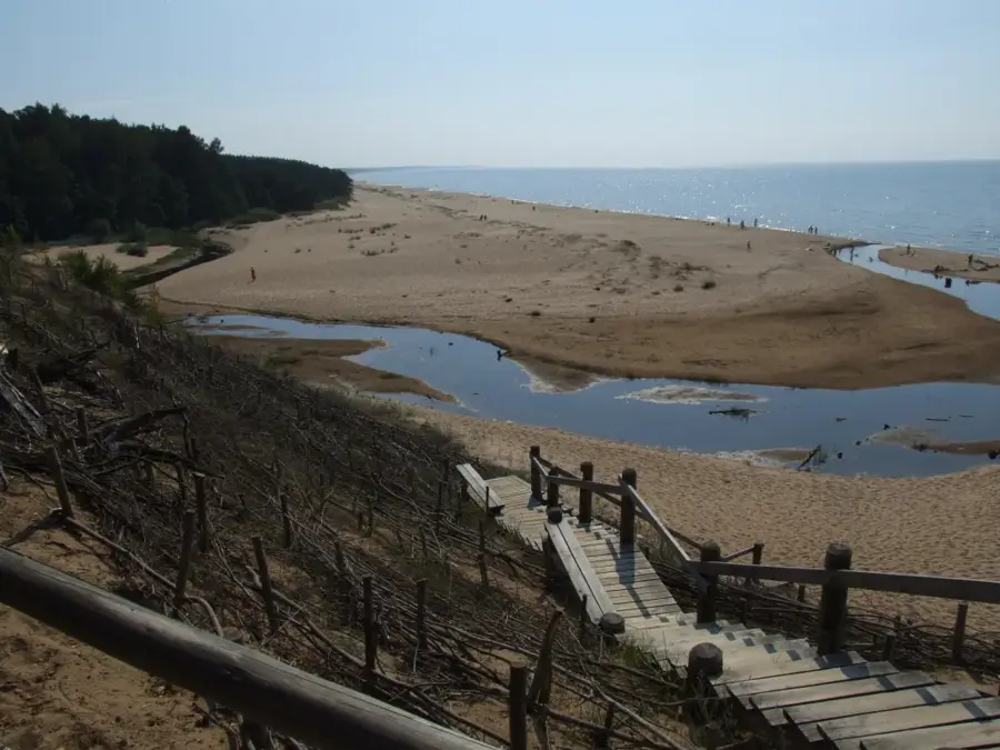
Nature
More places