Plizio Visual Lab
Lolland Bakke
Weather…
Water temperature…
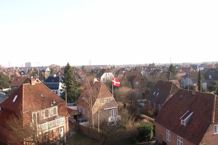
The relief of the island of Lolland is renowned for being one of the flattest areas in Denmark, with the notable exception of the Ravnsby Bakker in the northwest. This region is often called the 'Alps of Lolland' because it was formed as a terminal moraine during the last Ice Age, reaching elevations of up to 30 meters. Apart from these hills, most of the island is so low-lying that large areas must be protected from sea surges by an extensive system of dikes and canals. A major historical event, the storm surge of 1872, devastated large parts of Lolland and prompted the construction of the massive sea wall seen today. Geologically, Lolland is composed of heavy clay and loam soils, which are handy for intensive farming, particularly sugar beets. The lake districts in the center, such as the Maribo Lakes, fill the natural depressions in the otherwise level topography. The relief has fundamentally shaped the island's infrastructure, as roads and railways could be constructed with minimal gradients. Despite its low average elevation, Lolland's relief has a unique blend of protected marshlands and glacial hilly outcrops.
- Location: Denmark
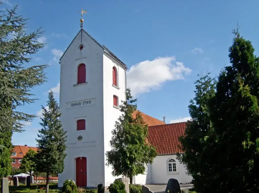
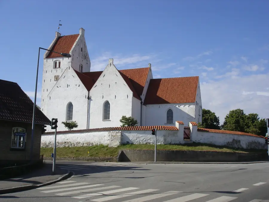
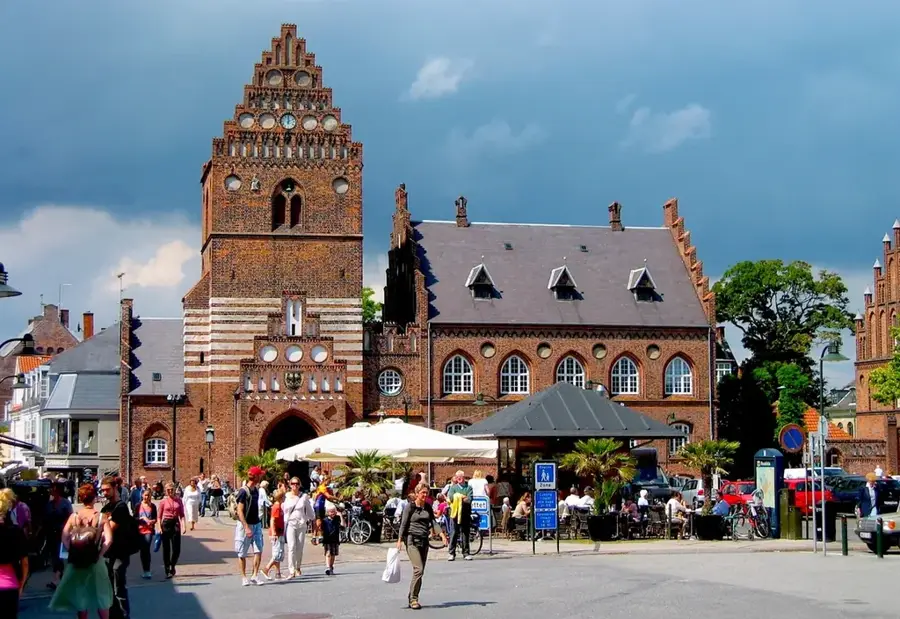
- Top sights: Dyrefold · Sædingegaard · Rødbyhavn Kirke
- Nearby: Lalandia Rødby (4 km)
Best time to visit & climate
The most pleasant time to visit is Jun–Aug.
| Jan | Feb | Mar | Apr | May | Jun | Jul | Aug | Sep | Oct | Nov | Dec | |
|---|---|---|---|---|---|---|---|---|---|---|---|---|
| Avg °C | 2 | 2 | 3 | 7 | 12 | 16 | 18 | 18 | 15 | 11 | 7 | 3 |
| Rain mm | 59 | 48 | 43 | 35 | 48 | 62 | 72 | 76 | 56 | 61 | 59 | 63 |
📋 Practical info
Geography
Facts
- Ravnsby Bakker is the highest elevation on Lolland, reaching about 30 meters.
- Large areas of southern Lolland sit below sea level following land reclamation.
- The Lolland dike stretches over 60 kilometers to protect against storm surges.
- The island was formed by deposits from a major glacial advance.
- Lolland lacks natural rivers, relying instead on man-made drainage canals.
- The Maribo Lakes are located in glacial basin depressions in the island's center.
Explore nearby
Notable places around
Route planner — Car & Motorhome
Where do you start? We build the route here, with stops and country notes along the way.
© OpenStreetMap contributors · OpenRouteService
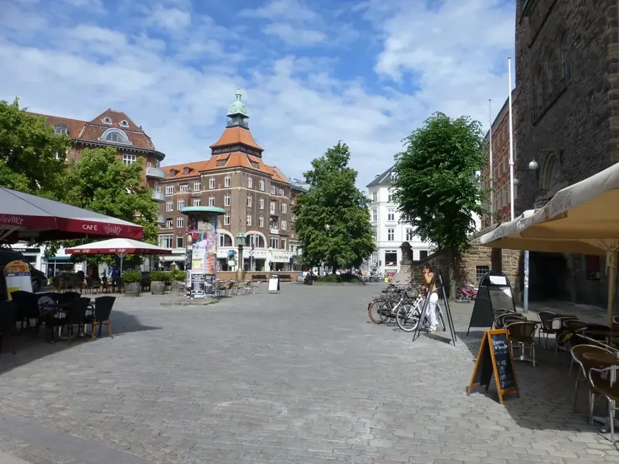
Sights in the town Lolland Bakke (7)
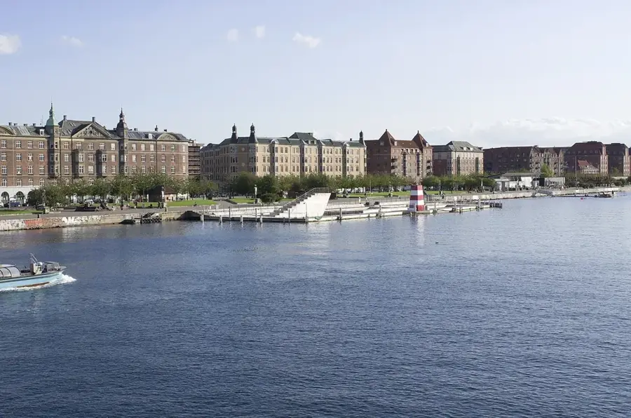
Sights nearby
Frequently asked questions
Is Lolland very flat?
Are there any hills?
What is Knuthenborg Safari Park?
What is Lalandia?
Are there nature parks?
Lolland Bakke: where is it located?
Lolland Bakke: what is there to see?
Lolland Bakke: when is the best time to visit?
Lolland Bakke: why is it worth visiting?

Nearby cities