Plizio Visual Lab
Langø Bakke

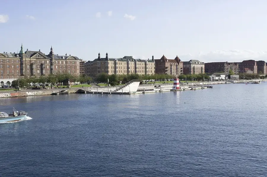
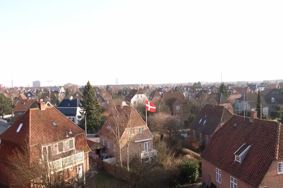
The relief of Langø in the Nakskov Fjord on Lolland is a fascinating example of a flat coastal landscape shaped by post-glacial land uplift and dike construction. Originally a separate island, Langø is now connected to the mainland of Lolland through extensive land reclamation projects. The terrain sits only a few meters above sea level, with the visual landscape being defined by man-made embankments and dikes. This topographic situation makes the area extremely vulnerable to storm surges, requiring a complex system of protective walls to secure the settlement. Geologically, the relief consists of sandy and silty deposits shaped by the sea currents within the fjord. The flat structure enables expansive views over the fjord's waters and the numerous small islands in the vicinity. Historically, the terrain was decisive for its development as a fishing village, as the sheltered position within the fjord offered well-suited conditions. The vegetation primarily consists of salt-tolerant grasses and low shrubs along the coastline. Despite its low elevation, the relief of Langø is a dynamic component of Danish coastal geomorphology.
- Location: Denmark
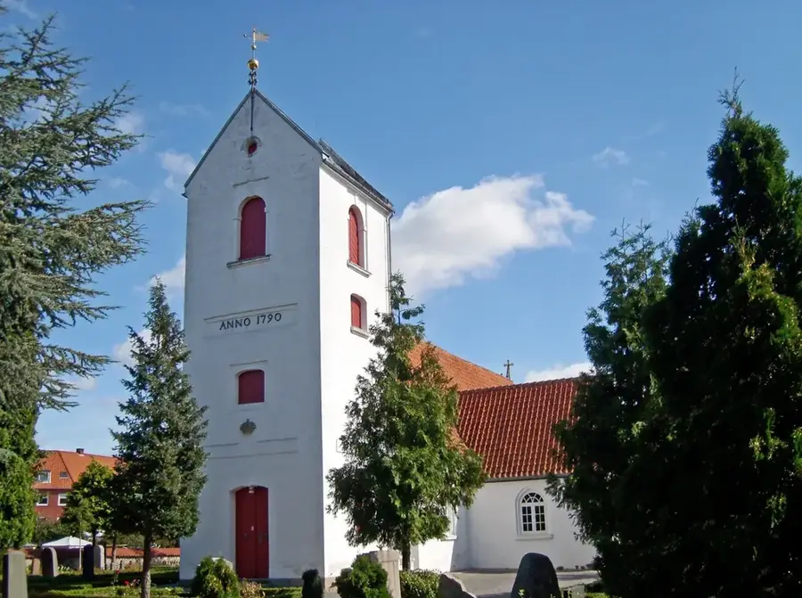
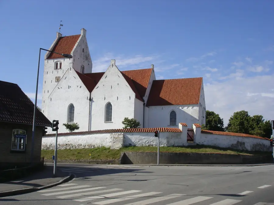
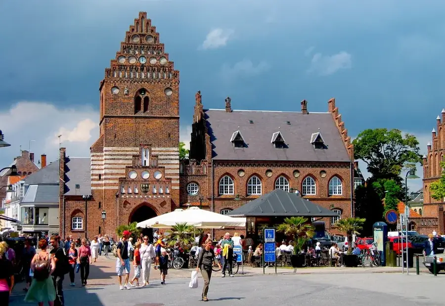
- Top sights: Thorkilshøj · Kong Svends Høj · Steilehøi
- Nearby: Utterslev (5 km)
Best time to visit & climate
The most pleasant time to visit is Jun–Aug.
| Jan | Feb | Mar | Apr | May | Jun | Jul | Aug | Sep | Oct | Nov | Dec | |
|---|---|---|---|---|---|---|---|---|---|---|---|---|
| Avg °C | 1 | 1 | 3 | 7 | 12 | 16 | 18 | 18 | 15 | 11 | 7 | 3 |
| Rain mm | 59 | 47 | 42 | 34 | 48 | 65 | 71 | 77 | 55 | 64 | 58 | 61 |
📋 Practical info
Geography
Facts
- Langø sits on average only 1-2 meters above the current sea level.
- The connection to the mainland was created by damming the Indrefjord area.
- The local relief is dominated by a 5-kilometer-long coastal protection dike.
- Geologically, the area is characterized by post-glacial marine deposits.
- Historical storm surges have repeatedly altered the coastal landscape.
- The terrain is so flat that it serves as a crucial habitat for wading birds.
Explore nearby
Notable places around
Route planner — Car & Motorhome
Where do you start? We build the route here, with stops and country notes along the way.
© OpenStreetMap contributors · OpenRouteService
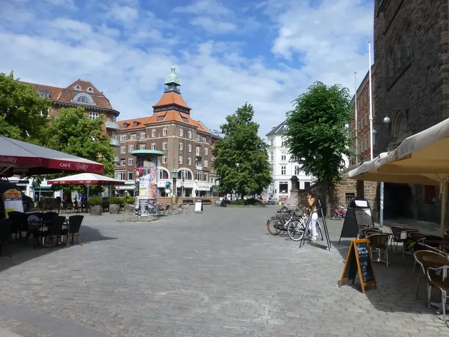
Sights in the town Langø Bakke (5)
Sights nearby
Frequently asked questions
Where is Langø located?
What is the main attraction?
Can you go bird watching?
Are there hiking trails?
Is it overcrowded with tourists?
Langø Bakke: where is it located?
Langø Bakke: what is there to see?
Langø Bakke: when is the best time to visit?
Langø Bakke: why is it worth visiting?

Nearby cities