Plizio Visual Lab

Borre Bakkekam

Plizio editorial teamData Sources
peak
—°4
Borre Bakkekam (Denmark)

Weather…

Borre Bakkekam is a prominent ridge on the Danish island of Møn, forming part of the dramatic geology of Høje Møn. The landscape was shaped during the last ice age when giant glaciers forced massive layers of chalk upwards from the subsurface and folded them into steep ridges. Geologically, the Bakkekam gives a glimpse into the period about 70 million years ago, when the region was a deep sea where the calcareous shells of microorganisms were deposited. Historically, the site is closely linked to the village of Borre, which in the Middle Ages was a significant trading town with its own harbor before the bay silted up. From the ridge, there is an extensive view over the Baltic Sea and the nearby chalk cliffs of Møns Klint. The vegetation is characterized by lime-loving plants and rare orchid species, making the area an ecologically valuable habitat. Today, the ridge is a popular destination for hikers wishing to experience the unique combination of geology and history on the island of Møn.

Best time to visit & climate

The most pleasant time to visit is Jul–Sep.

JanFebMarAprMayJunJulAugSepOctNovDec
Avg °C223611151818151174
Rain mm604742344558677955686263

📋 Practical info

🧭
Getting there
Beautifully located on the scenic island of Møn, the hilly area is typically reached by passenger car or touring bicycle via the main roads leading dependably toward Møns Klint.
📅
Best season
Warm summer is widely considered good for fully visiting Møn, as the bright, clear sunlight beautifully and dramatically highlights the unique calcareous soils and surrounding blue sea.
⛰️
Terrain & paths
The intriguing trail networks actively traverse undulating moraine landscapes and notably calcareous soils, regularly involving moderate inclines and sometimes surprisingly chalky, loose ground.
🎒
What to bring
Dependably good outdoor walking shoes with highly solid traction are absolutely essential here, as the distinct chalky trails can easily be surprisingly slippery, even in completely dry weather.
🅿️
Parking
Safe and convenient parking is generally widely available at nearby official nature centers, designated local village community lots, or explicitly marked coastal viewpoints on the island.
⚠️
Safety
Always ensure you stay well back securely from any abrupt cliff edges if the chosen route heavily approaches the scenic coast, as the stark chalky soil can occasionally be highly unstable.
⏱️
Time needed
A highly typical, rewarding scenic hike extensively along this remarkable hilly coastal ridge comfortably takes about two to three hours, generously offering spectacular views of the unique island geology.

Geography

Coordinates
54.98550, 12.51110

Facts

  • The ridge reaches a height of about 100 meters above sea level.
  • The underlying chalk layers are approximately 70 million years old.
  • Borre was one of Zealand's most important trading towns in the Middle Ages.
  • The landscape was created by the pressure of glaciers during the Weichselian ice age.
  • Several rare and protected orchid species grow on the Bakkekam.
  • The nearby village of Borre has a church dating back to the 13th century.

Explore nearby

Notable places around

Route planner — Car & Motorhome

Where do you start? We build the route here, with stops and country notes along the way.

Vehicle
Only stops with (optional):

© OpenStreetMap contributors · OpenRouteService

Sights in the town Borre Bakkekam (4)

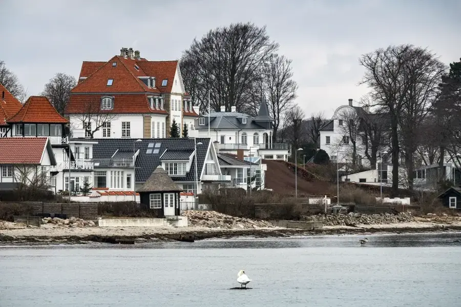
Klintholm Havn Strand🎡 recreation

Near the Bakkekammen hills by Borre in Denmark, you will find the Klintholm Havn Strand. This characterful harbor location gives visitors the chance to combine maritime impressions with a stay on the sandy beach. Those wanting to explore the area in peace will benefit from visiting outside peak hours.

Gunildsbjerg🏺 historical

A historical burial mound or archaeological site in Borre Bakkekam.

Deinesbjerg🏺 historical

A site of archaeological significance in Borre Bakkekam.

Koes Minde🏺 historical

An archaeological monument in the landscape of Borre Bakkekam.

Sights nearby

Frequently asked questions

Where is Borre Bakkekam located?
It is a hilly area in the east of Møn island, near the famous chalk cliffs.
What is the attraction there?
The undulating hilly landscape features panoramic views of the Baltic Sea and Møns Klint.
Can you go cycling there?
Yes, the small roads are very popular with cyclists but are quite steep in some places.
Are there accommodation options?
In Borre village and the surrounding area, there are B&Bs, holiday homes, and campsites.
How far is it to Møns Klint?
It is only about 5-7 km to GeoCenter Møns Klint.
Borre Bakkekam: where is it located?
Borre Bakkekam is located in Denmark.
Borre Bakkekam: what is there to see?
Highlights include Klintholm Havn Strand, Gunildsbjerg, Deinesbjerg.
Borre Bakkekam: when is the best time to visit?
The most pleasant time to visit is Jul, Sep.
Borre Bakkekam: why is it worth visiting?
Borre Bakkekam is a prominent ridge on the Danish island of Møn, forming part of the dramatic geology of Høje Møn.
View on map → The Top 50 Attractions → Most beautiful beaches → OpenStreetMap →
Europe
Explore with Plizio Discover more places in Europe
More places in Denmark →

Nearby cities

History & landmarks