Plizio Visual Lab
Almindingen Forest
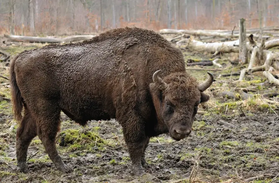
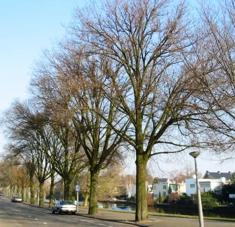
Almindingen is the fifth largest forest in Denmark, located in the center of the island of Bornholm. The name means 'common land,' reflecting that the area was historically used as communal pasture before systematic reforestation was begun by Hans Rømer in the year 1800. The forest's geology is defined by its position on a granite plateau, resulting in deep rift valleys such as Ekkodalen (Echo Valley). It contains the highest point on Bornholm, Rytterknægten, which reaches 162 meters and is crowned by a historic observation tower. An ecological highlight is the bison project launched in 2012, which introduced a herd of European bison into a fenced area of the forest to enhance biodiversity. Additionally, Almindingen houses the ruins of the medieval castles Lilleborg and Gamleborg, which were once royal centers of power. The vegetation is a mix of coniferous forest and old broadleaf stands, supplemented by numerous peat bogs and forest lakes. Today, the forest is a key area for eco-tourism and the protection of rare bat species.
- Location: Denmark
- Nearby: Gudhjem (10 km)
Best time to visit & climate
The most pleasant time to visit is Jul–Sep.
| Jan | Feb | Mar | Apr | May | Jun | Jul | Aug | Sep | Oct | Nov | Dec | |
|---|---|---|---|---|---|---|---|---|---|---|---|---|
| Avg °C | 2 | 2 | 3 | 6 | 10 | 15 | 18 | 18 | 16 | 11 | 8 | 4 |
| Rain mm | 69 | 52 | 48 | 35 | 45 | 54 | 76 | 77 | 63 | 75 | 72 | 71 |
📋 Practical info
Geography
Facts
- Fifth largest forest in Denmark, on Bornholm island
- Reforestation began in the year 1800 by Hans Rømer
- Highest point of the island: Rytterknægten (162 m)
- Home to a herd of European bison since the year 2012
- Ekkodalen is the longest rift valley in Denmark
- Site of the medieval royal castle Lilleborg
Explore nearby
Notable places around
Route planner — Car & Motorhome
Where do you start? We build the route here, with stops and country notes along the way.
© OpenStreetMap contributors · OpenRouteService
Sights in the town Almindingen Forest (1)
Sights nearby
Frequently asked questions
Where is Almindingen forest located?
Can you see bison there?
What is Rytterknægten?
Are there castle ruins?
Are there lakes there?
Almindingen Forest: where is it located?
Almindingen Forest: when is the best time to visit?
Almindingen Forest: why is it worth visiting?

Nearby cities