Plizio Visual Lab
Tanganyika Trough
Weather…
Water temperature…
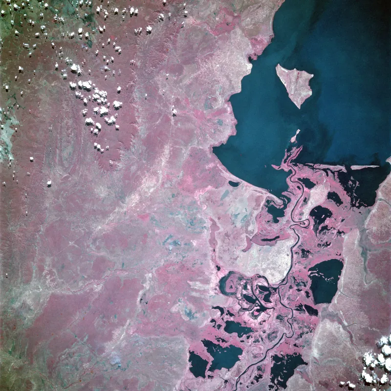
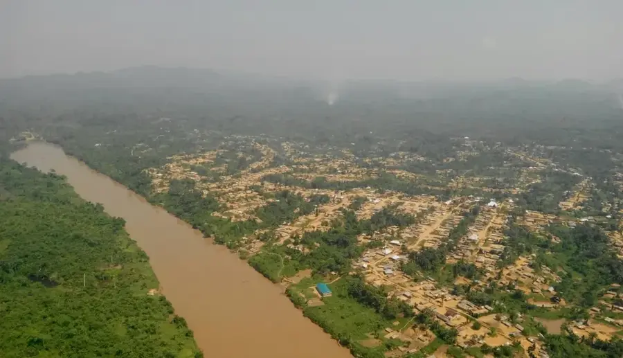
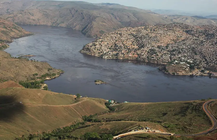
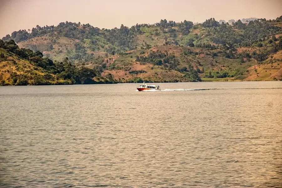
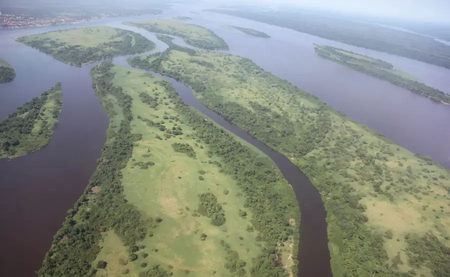
The Tanganyika Trough is a critical segment of the Western Branch of the East African Rift System, specifically the Albertine Rift. This immense geological depression hosts Lake Tanganyika, which ranks as the world's second deepest and second oldest freshwater lake. Formed by the divergent movement of tectonic plates, the trough represents a massive fracture in the Earth's crust that began millions of years ago. The surrounding escarpments rise sharply from the lakeshore, often reaching elevations of up to 2,000 meters above sea level. This region is of immense ecological significance, as its isolation has fostered the evolution of hundreds of endemic species, particularly cichlid fish. Economically, the trough is a lifeline for the Democratic Republic of the Congo, Tanzania, Zambia, and Burundi, providing vital fishing grounds and transport routes. Ongoing tectonic activity ensures that the landscape remains dynamic, continuing to reshape the African continent's topography.
Best time to visit & climate
The most pleasant time to visit is May–Jul.
| Jan | Feb | Mar | Apr | May | Jun | Jul | Aug | Sep | Oct | Nov | Dec | |
|---|---|---|---|---|---|---|---|---|---|---|---|---|
| Avg °C | 22 | 22 | 22 | 22 | 23 | 22 | 22 | 24 | 25 | 25 | 23 | 22 |
| Rain mm | 170 | 133 | 158 | 125 | 25 | 4 | 2 | 11 | 30 | 86 | 221 | 179 |
📋 Practical info
Geography
Facts
- Maximum depth of the trough reaches 1,470 meters.
- Contains roughly 17% of the world's surface freshwater.
- Formation began approximately 9 to 12 million years ago.
- Stretches over a length of nearly 673 kilometers.
- Part of the Albertine Rift in the East African Rift System.
- Home to over 250 distinct species of cichlid fish.
Explore nearby
Notable places around
Route planner — Car & Motorhome
Where do you start? We build the route here, with stops and country notes along the way.
© OpenStreetMap contributors · OpenRouteService
Sights nearby
Frequently asked questions
What is the Tanganyika Trough?
How deep is the trough?
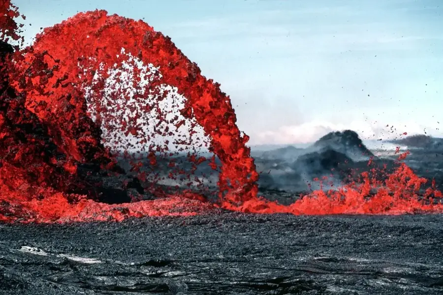
Are there earthquakes there?
What role does it play for nature?
Can you see the trough?
Tanganyika Trough: where is it located?
Tanganyika Trough: when is the best time to visit?
Tanganyika Trough: why is it worth visiting?

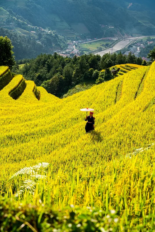
Nature
More places