Plizio Visual Lab
Luama Plateau
Weather…
Water temperature…
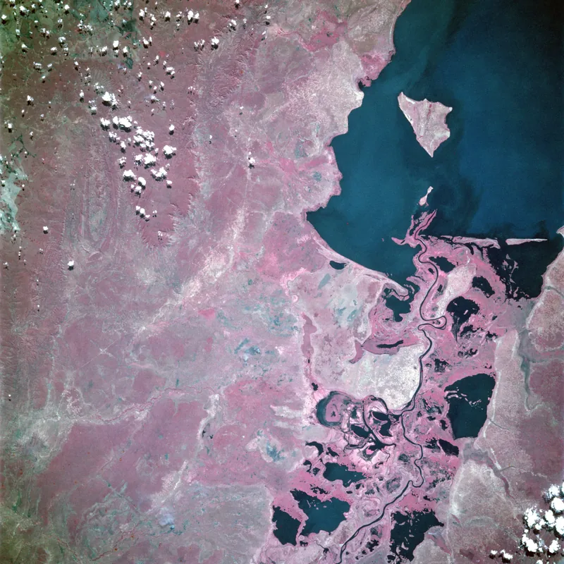
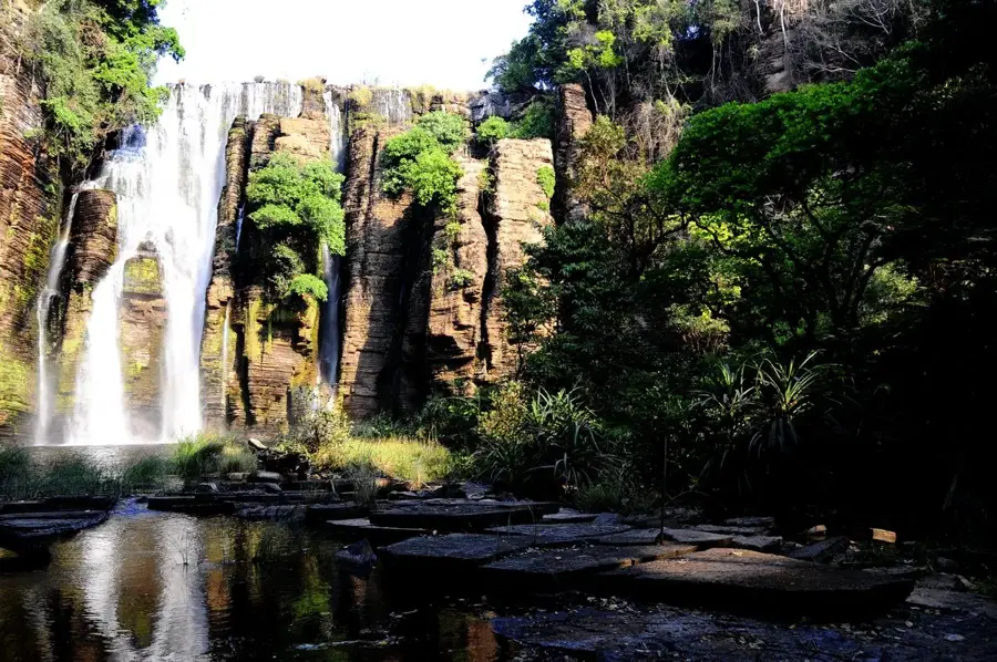
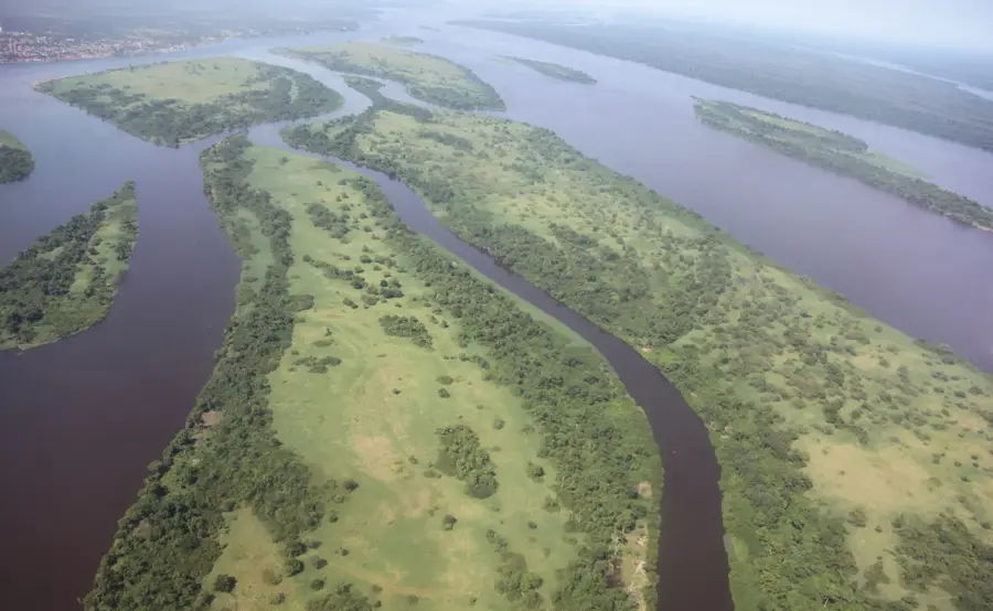
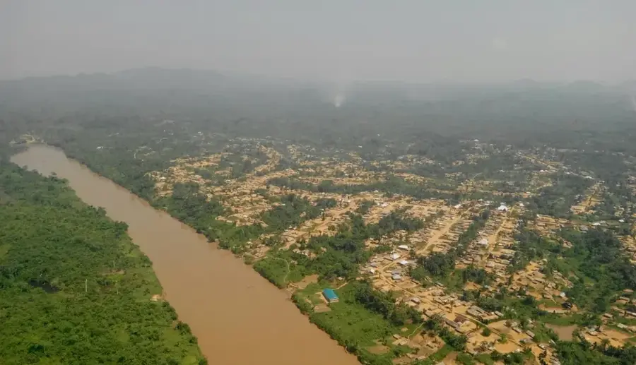
The Luama Plateau is situated in the Maniema Province of the eastern Democratic Republic of the Congo, forming a significant part of the highland regions bordering the Albertine Rift. With an average elevation ranging from 1,000 to 1,500 meters above sea level, it acts as a natural watershed and serves as the source for numerous tributaries feeding into the Lualaba River. The landscape is characterized by a mix of high-altitude savannas and dense gallery forests along watercourses, supporting a rich array of biodiversity. Geologically, the plateau consists of ancient metamorphic rocks that contain valuable mineral resources, including gold and tin. A large portion of the area is contained within the Luama Hunting Reserve, which was originally established to protect large mammal species like elephants and buffaloes. Despite its ecological importance, the region remains relatively inaccessible due to its remote location and limited infrastructure. Historically, the plateau has served as a strategic refuge for local communities during times of political instability in the Congo.
- Location: Congo - Kinshasa
- Nearby: Nyunzu (56 km)
Best time to visit & climate
The most pleasant time to visit is May–Jul.
| Jan | Feb | Mar | Apr | May | Jun | Jul | Aug | Sep | Oct | Nov | Dec | |
|---|---|---|---|---|---|---|---|---|---|---|---|---|
| Avg °C | 23 | 24 | 24 | 24 | 25 | 25 | 25 | 27 | 28 | 26 | 24 | 23 |
| Rain mm | 170 | 133 | 156 | 104 | 23 | 2 | 2 | 17 | 40 | 96 | 220 | 182 |
📋 Practical info
Geography
Facts
- The plateau sits at an elevation between 1,000 and 1,500 meters.
- It is located in the Maniema Province of eastern DR Congo.
- Includes the Luama Hunting Reserve, covering 2,300 square kilometers.
- Serves as a major catchment area for the Lualaba River system.
- The region is known for significant deposits of gold and cassiterite.
- Average temperatures on the plateau range from 20 to 25 degrees Celsius.
Explore nearby
Notable places around
Route planner — Car & Motorhome
Where do you start? We build the route here, with stops and country notes along the way.
© OpenStreetMap contributors · OpenRouteService
Sights nearby
Frequently asked questions
Where is the Luama Plateau located?
What animals live on the plateau?
Is the area designated as a protected area?
What is the climate like on the Luama Plateau?
Can tourists visit the plateau?
Luama Plateau: where is it located?
Luama Plateau: when is the best time to visit?
Luama Plateau: why is it worth visiting?

Nature
More places