Plizio Visual Lab
Iron Mountains
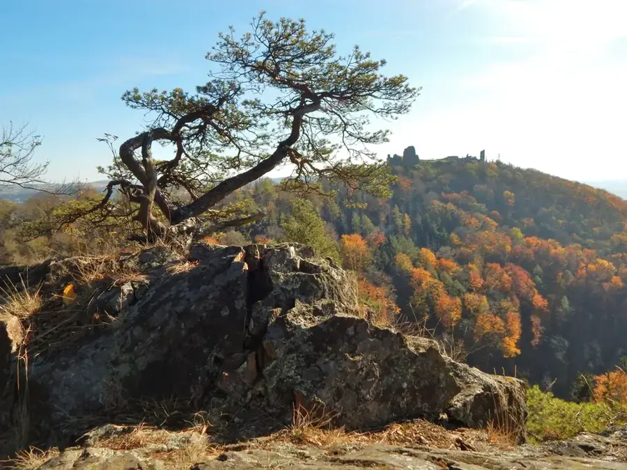
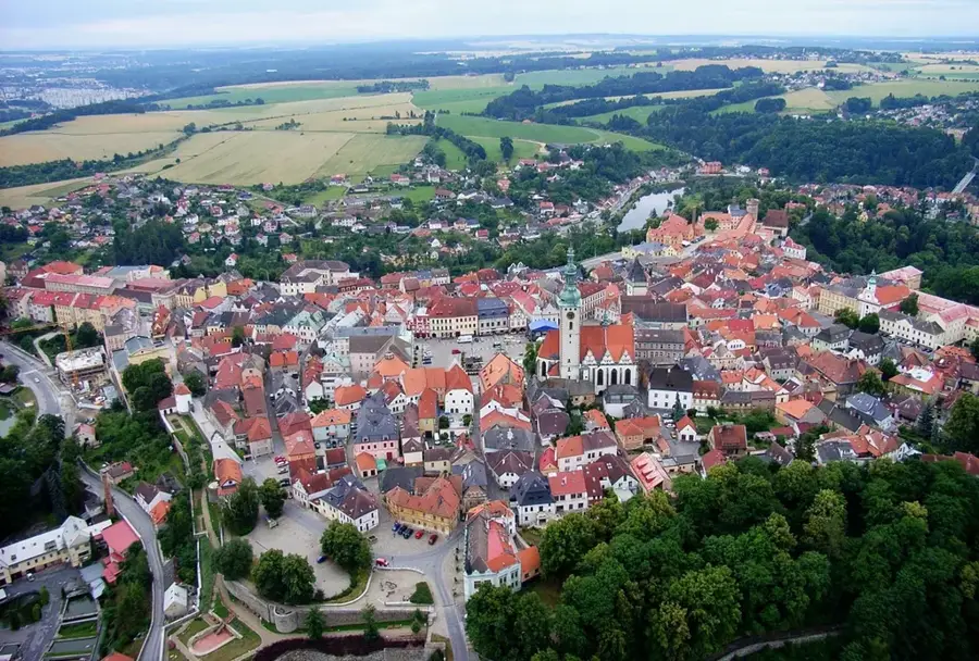
The Iron Mountains (Železné hory) are a versatile highland in Eastern Bohemia, declared a National Geopark in 2012 and later a UNESCO Geopark due to their extraordinary geological diversity. The region is characterized by a complex geological structure encompassing rocks from almost all geological eras, from granite to limestone. The highest point is Vestec hill at 668 meters, while the massif gently slopes towards the northwest. A significant cultural and landscape element is the Seč Dam on the Chrudimka River, which not only serves power generation but is also a popular recreation area. Nearby are the easy on the eye ruins of Oheb Castle on a rocky cliff above the reservoir. The region gives numerous educational trails that introduce visitors to geology, mining history, and the rich flora and fauna.
- Location: Czech Republic
- Top sights: Zámek Běstvina · NPP Kaňkovy hory · PP Na Obůrce
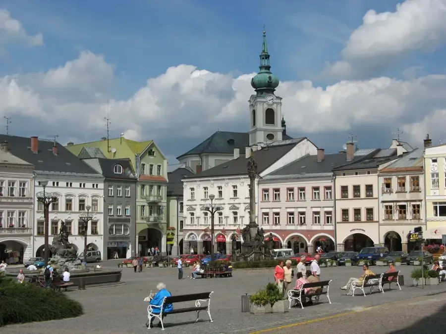
- Nearby: Čáslav (17 km)
Best time to visit & climate
The most pleasant time to visit is Jun–Aug.
| Jan | Feb | Mar | Apr | May | Jun | Jul | Aug | Sep | Oct | Nov | Dec | |
|---|---|---|---|---|---|---|---|---|---|---|---|---|
| Avg °C | -3 | -1 | 3 | 9 | 14 | 18 | 20 | 20 | 14 | 9 | 4 | -1 |
| Rain mm | 49 | 39 | 44 | 37 | 74 | 80 | 84 | 81 | 59 | 48 | 44 | 46 |
📋 Practical info
Geography
Facts
- UNESCO Geopark status since 2012
- Highest peak Vestec 668m
- Seč Dam built in 1925-1934
- Oheb Castle ruins from the 14th century
- CHKO Železné hory since 1991
- Rich in granite and limestone deposits
Explore nearby
Notable places around
Route planner — Car & Motorhome
Where do you start? We build the route here, with stops and country notes along the way.
© OpenStreetMap contributors · OpenRouteService
Sights in the town Iron Mountains (8)
Sights nearby
Frequently asked questions
Where are the Iron Mountains located?
What is the most famous destination?
Which castle ruin is located here?
Are there any museums in the region?
Is the mountain range high?
Iron Mountains: where is it located?
Iron Mountains: what is there to see?
Iron Mountains: when is the best time to visit?
Iron Mountains: why is it worth visiting?

Nearby cities