Plizio Visual Lab
Vaganski vrh
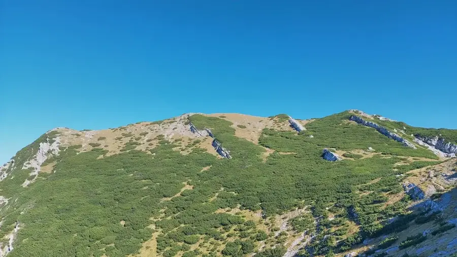
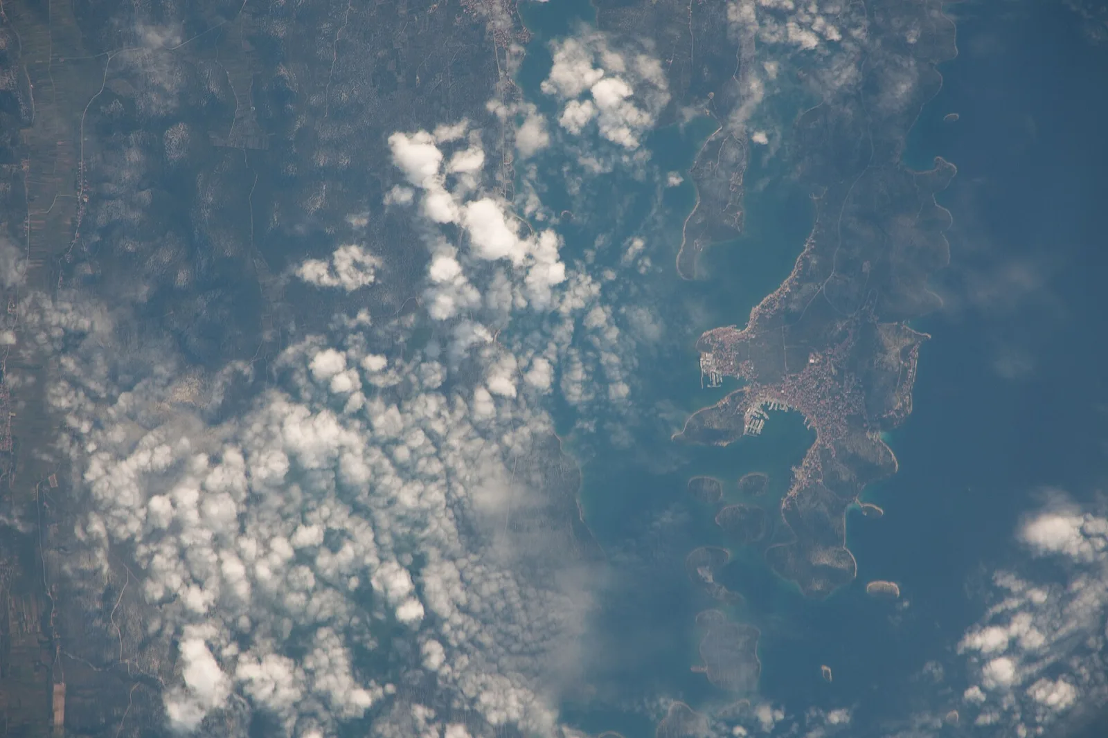
Vaganski vrh, at 1,757 meters, is the highest peak of the Velebit range, the longest mountain chain in Croatia. It is located in the southern part of the massif within the Paklenica National Park and is part of a vast highland plateau characterized by extreme karst formations. Geologically, the summit area consists of massive limestone, eroded over millennia into bizarre shapes, deep fissures, and sinkholes. The climate at Vaganski vrh is exceptionally harsh, featuring gale-force Bura winds and heavy winter snowfall, which limits vegetation to resilient grasses and dwarf shrubs. Historically, the paths to the summit were part of ancient transhumance routes connecting the Lika interior with the Adriatic coast. From the top, hikers are rewarded with an overwhelming view that, on clear days, stretches from the Italian Apennines in the west to the Bosnian mountains in the east. The region is of great ecological importance and is part of the UNESCO Velebit Biosphere Reserve. Despite its elevation, Vaganski vrh is not a sharp isolated peak but the highest point of an expansive, undulating ridge. It remains a prestigious goal for mountaineers, often approached via the dramatic Paklenica canyons.
- Location: Croatia
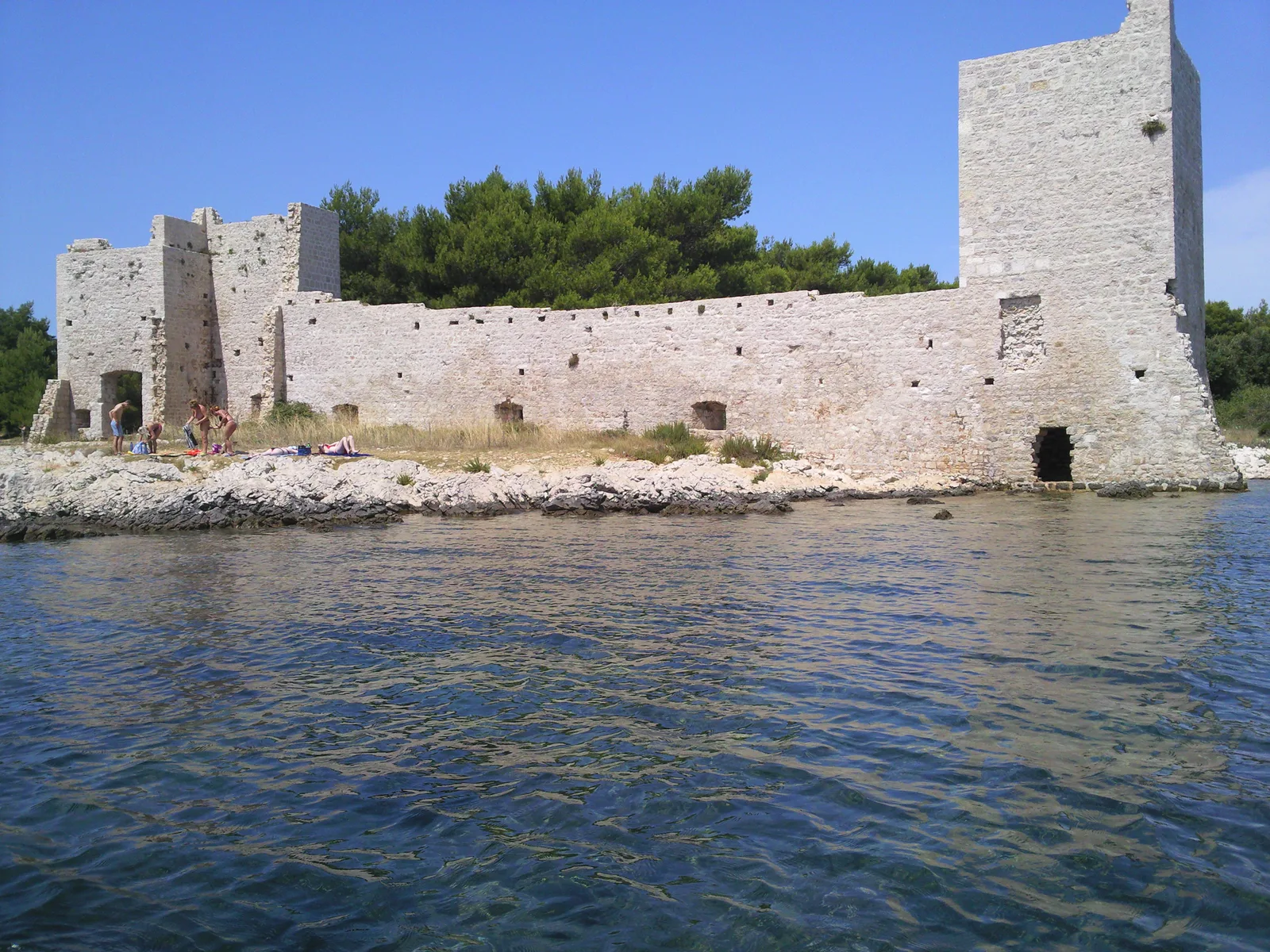
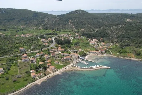
- Top sights: Crni vrh · Borovnik · Komić
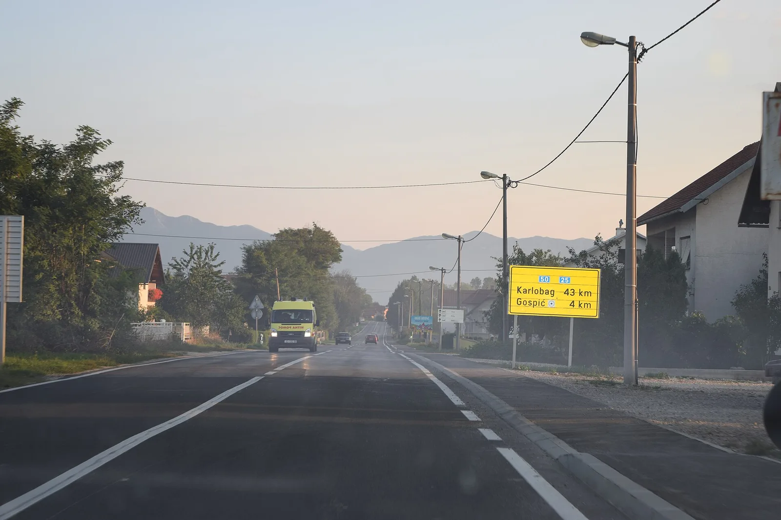
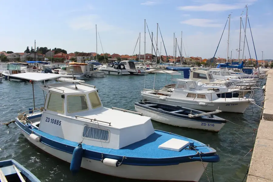
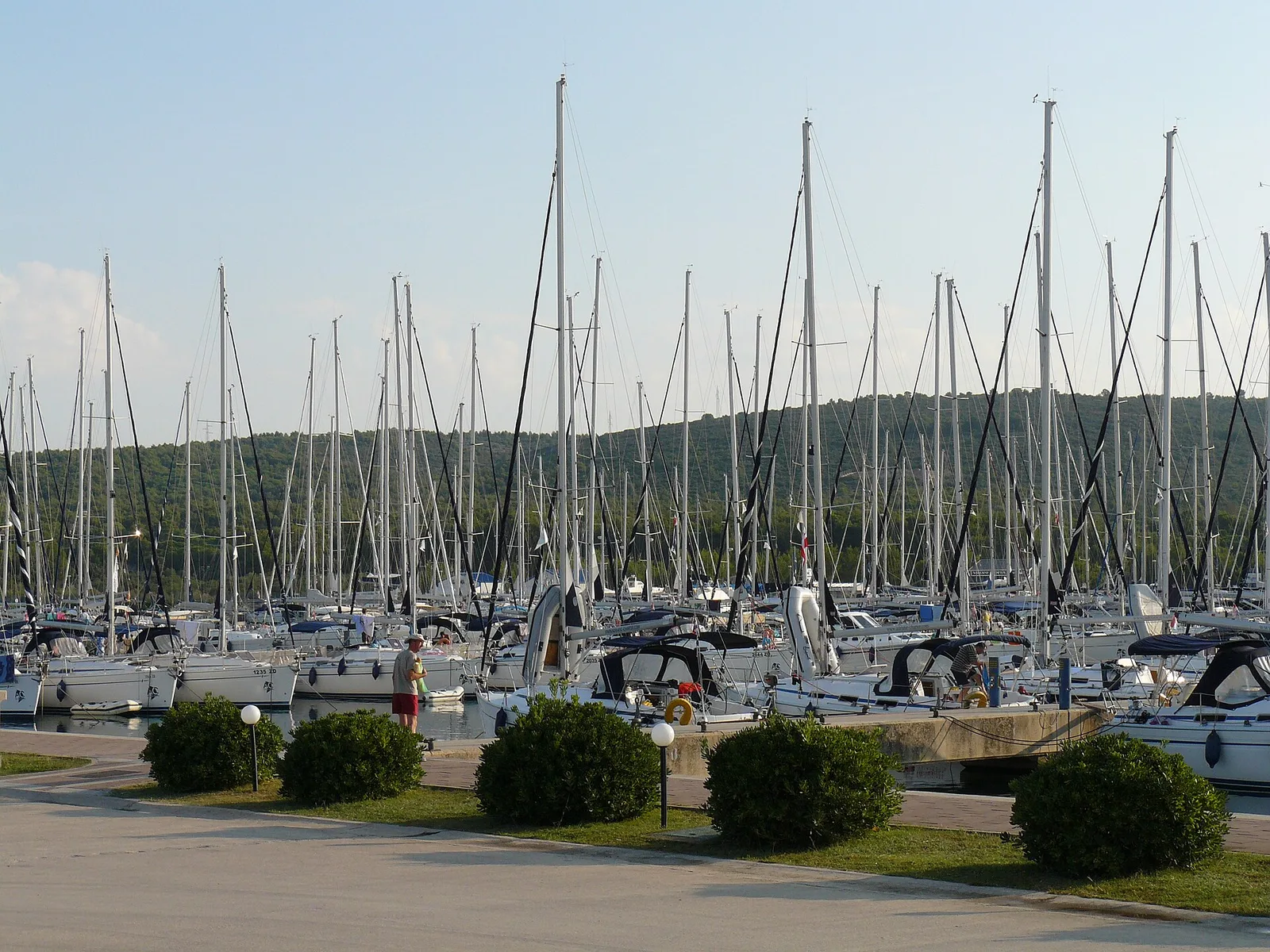
- Nearby: Starigrad-Paklenica (4 km)
Best time to visit & climate
The most pleasant time to visit is Jun–Aug.
| Jan | Feb | Mar | Apr | May | Jun | Jul | Aug | Sep | Oct | Nov | Dec | |
|---|---|---|---|---|---|---|---|---|---|---|---|---|
| Avg °C | 1 | 1 | 5 | 10 | 14 | 19 | 21 | 21 | 16 | 11 | 7 | 2 |
| Rain mm | 99 | 100 | 86 | 83 | 91 | 70 | 53 | 68 | 125 | 118 | 144 | 118 |
📋 Practical info
Geography
Facts
- Vaganski vrh is the highest point of the entire Velebit range at 1,757 meters.
- The summit is located within the boundaries of Paklenica National Park.
- On exceptionally clear days, it is possible to see the Italian coastline across the Adriatic.
- The summit area experiences some of the most extreme weather in Croatia.
- The geological foundation consists of Upper Cretaceous limestone.
- It is closely followed in height by the nearby Sveto brdo peak (1,751 m).
Explore nearby
Notable places around
Route planner — Car & Motorhome
Where do you start? We build the route here, with stops and country notes along the way.
© OpenStreetMap contributors · OpenRouteService
Sights in the town Vaganski vrh (5)
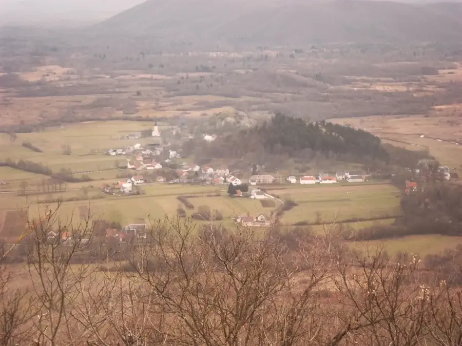
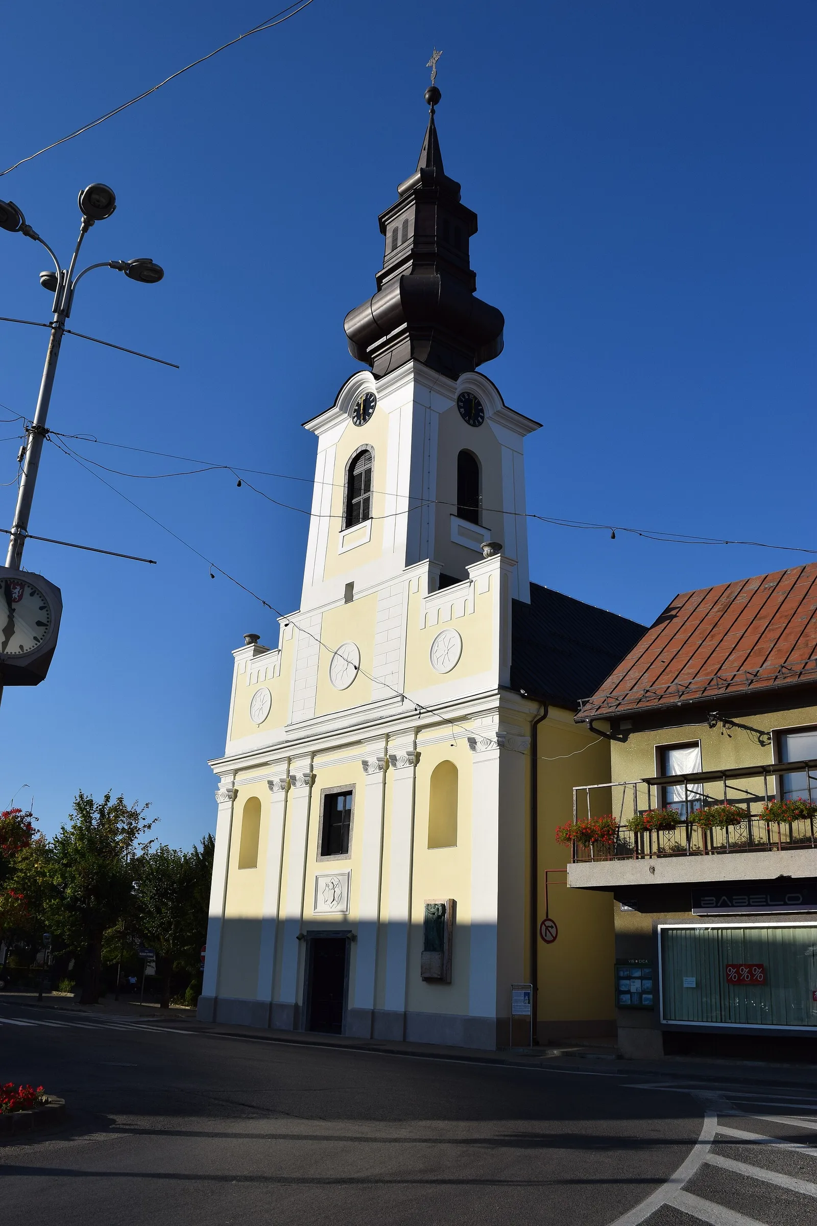
Komić
Ridge prominence of Crni vrh in the Velebit.
Sights nearby
Frequently asked questions
What is Vaganski vrh?
Is the hike to Vaganski vrh difficult?
What is the most common ascent route?
Are there water sources on the way?
When is the best time for the climb?
Vaganski vrh: where is it located?
Vaganski vrh: what is there to see?
Vaganski vrh: when is the best time to visit?
Vaganski vrh: why is it worth visiting?

Nearby cities