Plizio Visual Lab
Trolokve

ℹ️Practical info — Trolokve
▾
🌤 Weather — 5 days
📍 Nearby
Sights nearby
💡 Tips
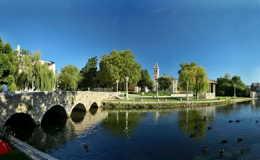
- Visit the three ponds that gave the village its name and were once vital for water.
- Use the village as a starting point for hiking on the Svilaja mountain.
- Admire the traditional stone houses and dry stone walls in the area.
- Look out for the unique karst phenomena in the hinterland landscape.
- During summer months, the air here is significantly cooler than on the coast.
🍽 Food
A traditional savory pie filled with chard, baked in the embers of an open fire.
In the hinterland, meat is often slow-cooked under a metal dome covered with coals.
Ask locals for travarica made with wild herbs from the Svilaja mountain.
🛍 Shopping · 🧘 Quiet spots
A healthy local snack, often available at markets or directly from farmers.
A unique type of cheese aged in a sheepskin sack.
Especially at dusk, a magical silence reigns around the water spots.
Lonely trails that offer a glimpse into the untouched nature of the hinterland.
Water temperature…
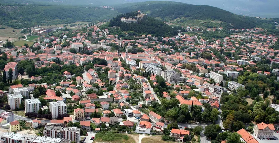
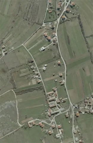
Trolokve is located in the Dalmatian Zagora, not far from Split and Prgomet. The name literally means 'three ponds' and refers to the rare natural water sources in this barren karst landscape. These ponds were historically vital for livestock and local agriculture. The village is a prime example of the traditional way of life in the hinterland, characterized by dry stone walls and simple stone architecture. The surrounding area contains remains of old shepherd paths, which can be used for hiking today. The air here is exceptionally clean, and the silence is only broken by the bells of sheep. Despite its remote location, Trolokve is quickly accessible via the Prgomet exit of the A1 highway. It has visitors an authentic experience far from the crowded beaches of the Split Riviera.
- Location: Croatia
- Nearby: Bračević (6 km)
- Population: ~101
Best time to visit & climate
The most pleasant time to visit is Jun–Aug.
| Jan | Feb | Mar | Apr | May | Jun | Jul | Aug | Sep | Oct | Nov | Dec | |
|---|---|---|---|---|---|---|---|---|---|---|---|---|
| Avg °C | 1 | 2 | 6 | 10 | 15 | 19 | 22 | 22 | 17 | 12 | 8 | 3 |
| Rain mm | 91 | 86 | 74 | 70 | 69 | 59 | 39 | 52 | 95 | 94 | 125 | 110 |
Geography
Facts
- Name means 'Three Ponds'
- Karst phenomenon
- Dalmatian Zagora
- Traditional dry stone walls
- Proximity to A1 highway
- Sheep farming tradition
- Pure mountain air
- Authentic stone architecture
Explore nearby
Notable places around
Route planner — Car & Motorhome
Where do you start? We build the route here, with stops and country notes along the way.
© OpenStreetMap contributors · OpenRouteService
Sights in the town Trolokve (1)
Frequently asked questions
Where does the name Trolokve come from?
What is the main attraction in Trolokve?
How far is Split from Trolokve?
Are there nature trails in Trolokve?
When is the best time to visit?
Trolokve: where is it located?
Trolokve: when is the best time to visit?
Trolokve: why is it worth visiting?

Nearby cities