Plizio Visual Lab
Bilogora
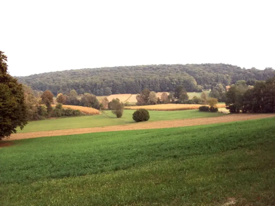
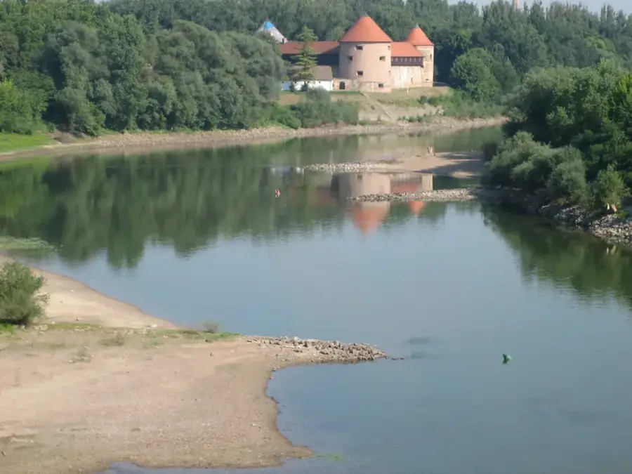
Bilogora is a low mountain range in northern Croatia, extending approximately 80 kilometers between the Drava River valley to the north and the Ilova and Česma rivers to the south. Its highest peak, Stankov vrh, reaches an elevation of 309 meters, making it one of the lowest yet most ecologically significant mountainous areas in the country. The region is predominantly covered by dense deciduous forests, mainly oak and beech, and is well-known for the numerous vineyards dotting its southern slopes. Geologically, the range is composed of Tertiary deposits, which have historically yielded substantial deposits of natural gas and crude oil. During the Ottoman wars, Bilogora served as a crucial strategic buffer zone, and its landscape is still dotted with traditional villages that maintain a centuries-old way of life. Today, it is a popular destination for eco-tourism, offering a network of hiking and cycling trails through its rolling hills and diverse habitats.
- Location: Croatia
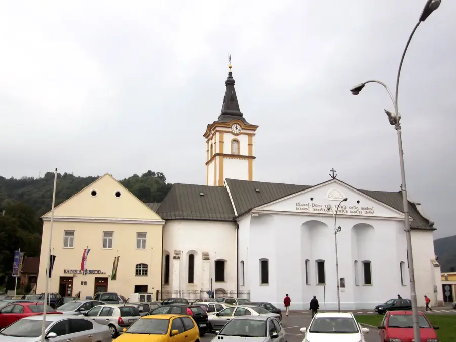
- Top sights: Drveno raspelo · Raspelo Suha Katalena · Raspelo Jasenička
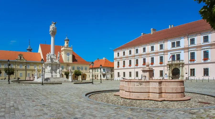
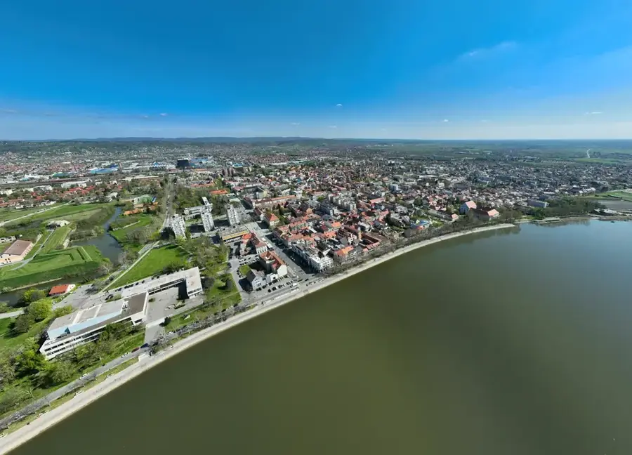
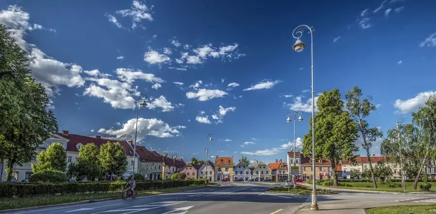
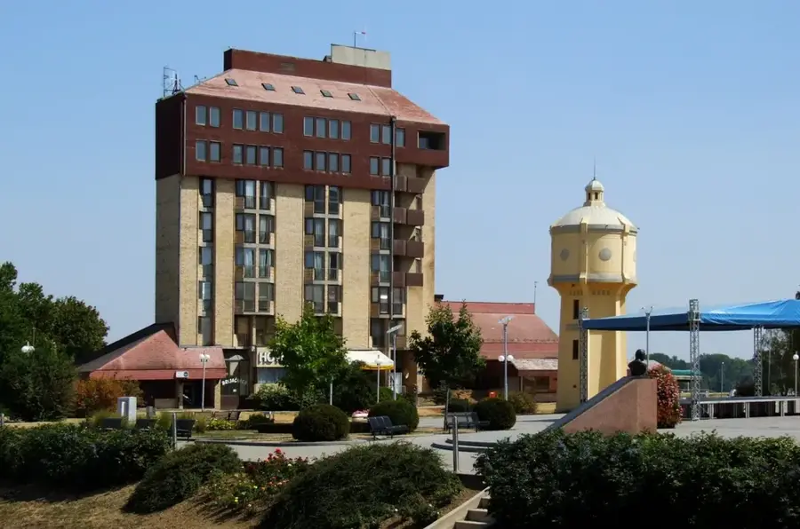
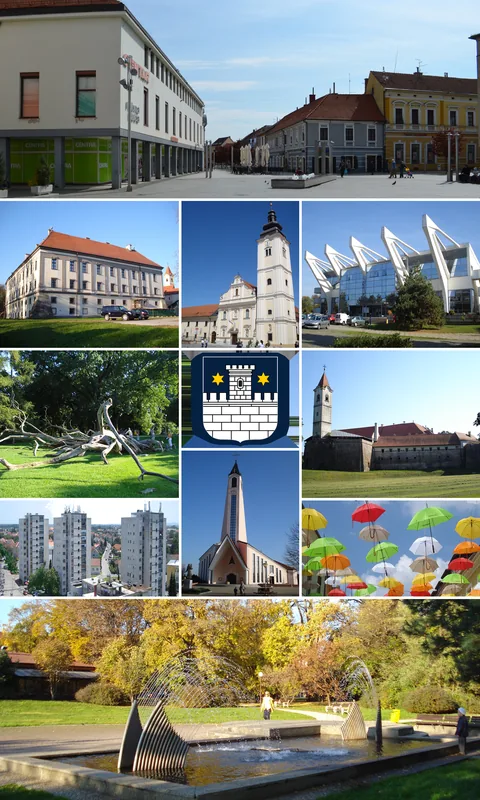
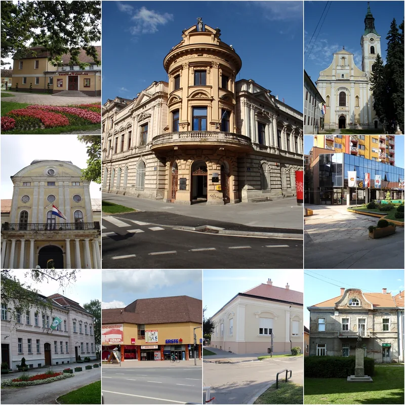
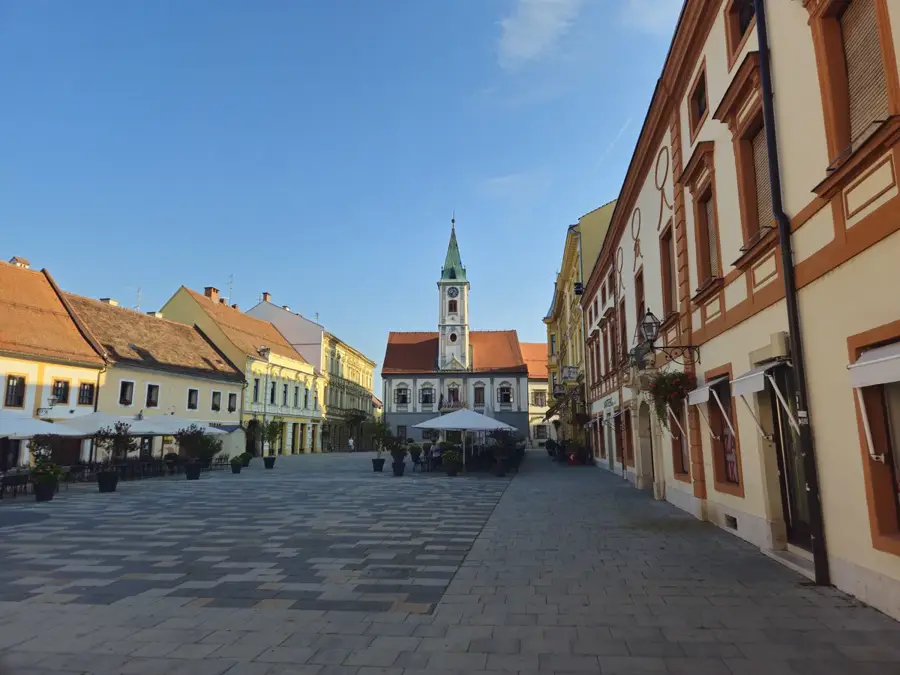
- Nearby: Bjelovar (19 km)
Best time to visit & climate
The most pleasant time to visit is Jun–Aug.
| Jan | Feb | Mar | Apr | May | Jun | Jul | Aug | Sep | Oct | Nov | Dec | |
|---|---|---|---|---|---|---|---|---|---|---|---|---|
| Avg °C | -1 | 1 | 6 | 11 | 16 | 21 | 23 | 23 | 17 | 12 | 6 | 1 |
| Rain mm | 49 | 55 | 56 | 54 | 85 | 80 | 73 | 73 | 96 | 74 | 67 | 59 |
📋 Practical info
Geography
Facts
- Stankov vrh is the highest peak of the range at 309 meters.
- The mountain range spans a total length of roughly 80 kilometers.
- The region contains Croatia's most significant natural gas fields.
- It is geologically composed of Tertiary sedimentary deposits.
- Historically acted as a strategic buffer zone during the Ottoman wars.
- Known for its high-quality oak and beech forest resources.
Explore nearby
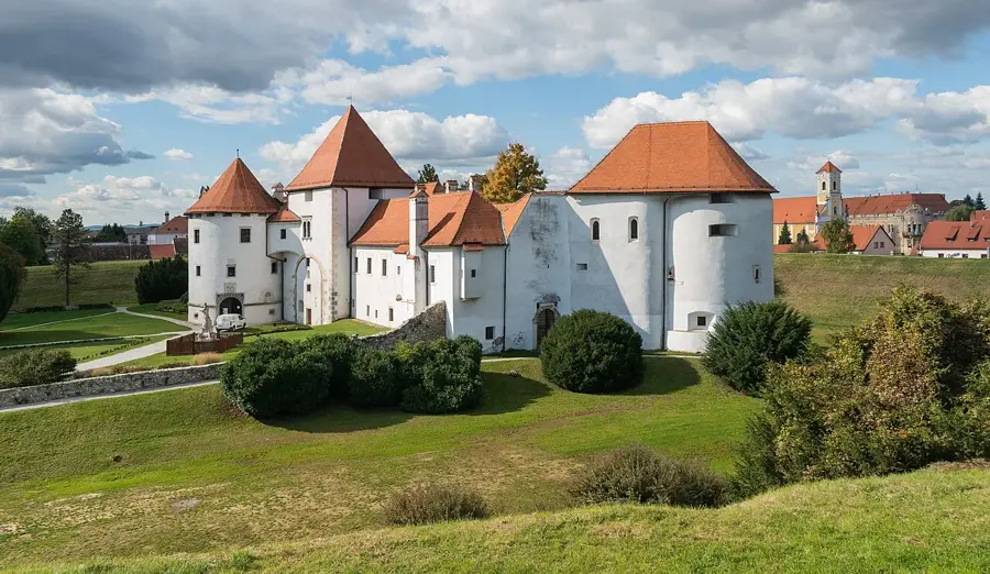
Notable places around
Route planner — Car & Motorhome
Where do you start? We build the route here, with stops and country notes along the way.
© OpenStreetMap contributors · OpenRouteService
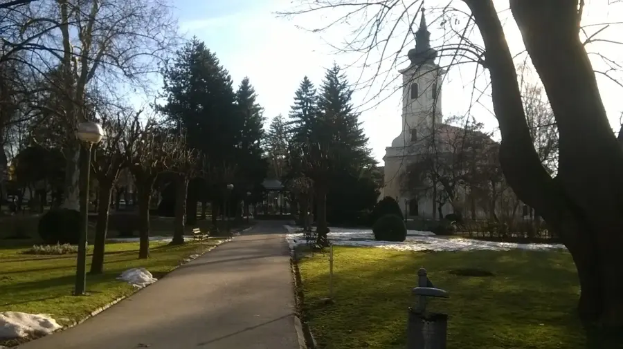
Sights in the town Bilogora (4)
Sights nearby
Frequently asked questions
What is Bilogora?
How high is the highest point?
Which town is nearby?
What characterizes Bilogora?
Can you go cycling there?
Bilogora: where is it located?
Bilogora: what is there to see?
Bilogora: when is the best time to visit?
Bilogora: why is it worth visiting?

Nearby cities