Plizio Visual Lab
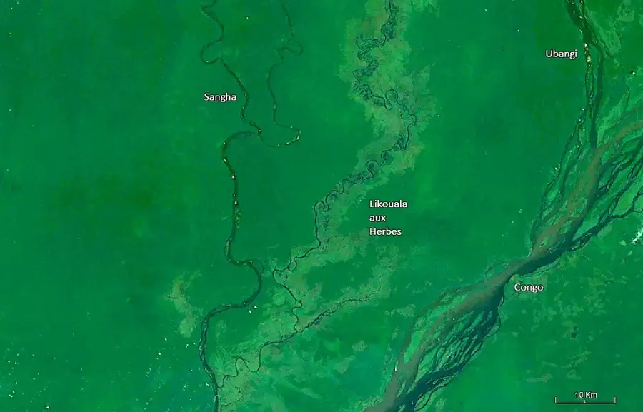
Ubangi River
Weather…
Water temperature…
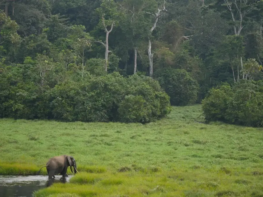
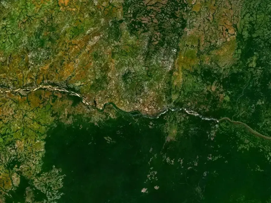
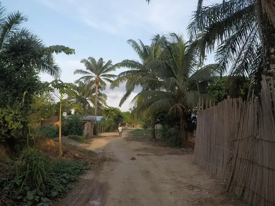
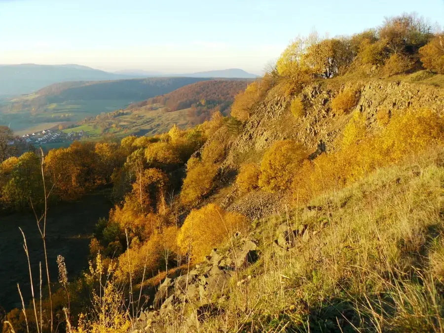
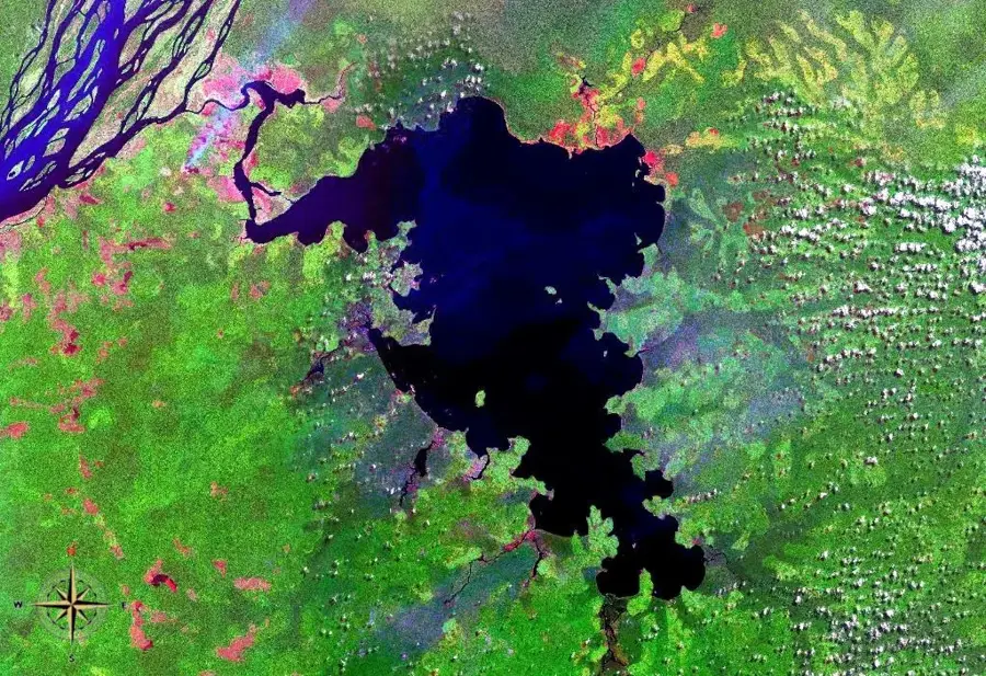
The Ubangi River is the largest right-bank tributary of the Congo River, forming a significant portion of the international borders between the Republic of the Congo, the Central African Republic, and the Democratic Republic of the Congo. It is formed by the confluence of the Uele and Mbomou rivers and flows southward for over 2,200 kilometers before merging with the Congo at Liranga. The river serves as an essential commercial artery, connecting the Central African capital of Bangui to the broader Congo Basin. During the dry season, however, water levels drop significantly, often making navigation impossible for large transport barges. The landscape surrounding the Ubangi is characterized by dense gallery forests and extensive wetlands that support diverse wildlife. For decades, there have been ambitious plans for a water transfer project aimed at diverting water from the Ubangi to the shrinking Lake Chad, though this remains internationally controversial. The river plays a pivotal role in local fisheries and the distribution of staple goods for the riparian states. The cultural identity of the communities living along the Ubangi is profoundly intertwined with the seasonal rhythms of its waters.
- Location: Congo - Brazzaville
- Nearby: Liranga (16 km)
Best time to visit & climate
The most pleasant time to visit is Jan, Jul, Aug.
| Jan | Feb | Mar | Apr | May | Jun | Jul | Aug | Sep | Oct | Nov | Dec | |
|---|---|---|---|---|---|---|---|---|---|---|---|---|
| Avg °C | 27 | 27 | 27 | 26 | 27 | 26 | 27 | 26 | 26 | 26 | 26 | 26 |
| Rain mm | 96 | 136 | 171 | 161 | 169 | 130 | 104 | 123 | 182 | 189 | 192 | 142 |
📋 Practical info
Geography
Facts
- The Ubangi River has a total length of approximately 2,270 kilometers.
- Its drainage basin encompasses about 772,800 square kilometers.
- The city of Bangui is situated on the right bank of the Ubangi River.
- The average discharge is approximately 4,000 cubic meters per second.
- The Transaqua project proposes a 2,400 km canal to Lake Chad.
- At Liranga, the Ubangi and Congo rivers merge into one massive stream.
Explore nearby
Notable places around
Route planner — Car & Motorhome
Where do you start? We build the route here, with stops and country notes along the way.
© OpenStreetMap contributors · OpenRouteService
Sights nearby
Frequently asked questions
Is the Ubangi navigable?
Where does the Ubangi flow into?
What borders does it form?
Are there crocodiles?
When is the high water season?
Ubangi River: where is it located?
Ubangi River: when is the best time to visit?
Ubangi River: why is it worth visiting?

Nearby cities
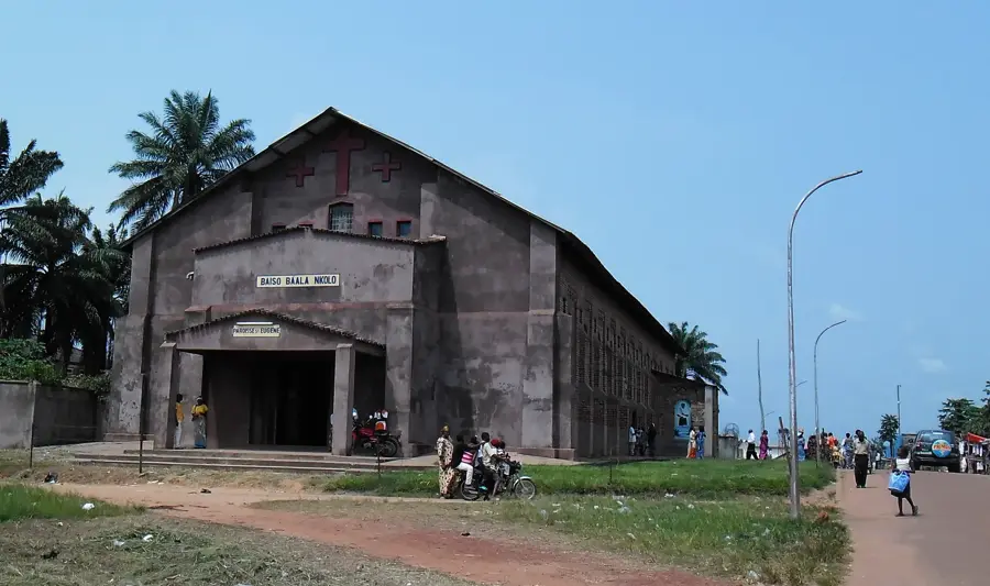
History & landmarks
Nature
More places