Plizio Visual Lab
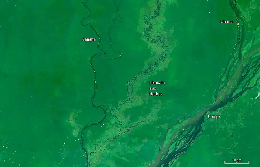
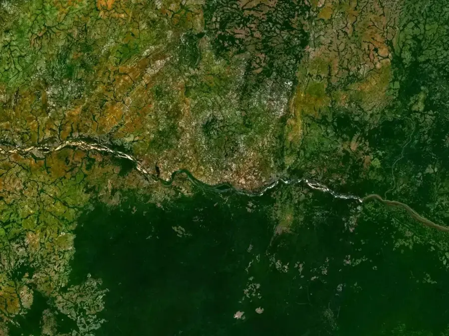
Motaba River
Weather…
Water temperature…
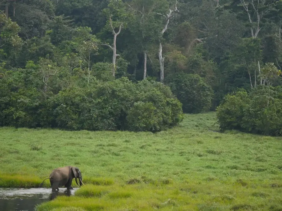
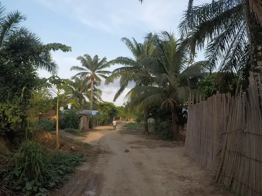
The Motaba River is a significant right-bank tributary of the Ubangi River, flowing through the Likouala Department in the northeastern Republic of the Congo. Originating in the dense rainforests near the border with the Central African Republic, it winds through one of the most pristine and inaccessible parts of the Congo Basin. In a region largely devoid of terrestrial infrastructure, the Motaba functions as a critical transport corridor, enabling the movement of goods and people across vast forested territories. Its banks are home to diverse ethnic communities, including significant Pygmy populations who maintain a traditional lifestyle deeply integrated with the riverine environment. Ecologically, the Motaba basin is of global importance, providing a sanctuary for Western lowland gorillas, forest elephants, and a wide array of endemic fish species. The river's flow is sustained by heavy equatorial rainfall, which feeds the extensive permanent and seasonal swamps characteristic of the Likouala rainforest, making it a cornerstone of the regional hydrological system.
- Location: Congo - Brazzaville
- Nearby: Impfondo (19 km)
Best time to visit & climate
The most pleasant time to visit is Jan, Feb, Dec.
| Jan | Feb | Mar | Apr | May | Jun | Jul | Aug | Sep | Oct | Nov | Dec | |
|---|---|---|---|---|---|---|---|---|---|---|---|---|
| Avg °C | 27 | 28 | 27 | 26 | 26 | 26 | 26 | 25 | 25 | 25 | 25 | 26 |
| Rain mm | 29 | 85 | 170 | 141 | 162 | 158 | 188 | 160 | 213 | 198 | 155 | 56 |
📋 Practical info
Geography
Facts
- The Motaba River joins the Ubangi River near the town of Dongou.
- It flows through the Likouala Department, the most humid and forested region of the country.
- The river basin is a key habitat for the endangered Western lowland gorilla.
- Indigenous Aka people inhabit the dense forests along the river's upper reaches.
- The Motaba is part of the extensive 'Grands Affluents' Ramsar site for wetland conservation.
- Average annual rainfall in the river basin typically exceeds 1,600 millimeters.
Explore nearby
Notable places around
Route planner — Car & Motorhome
Where do you start? We build the route here, with stops and country notes along the way.
© OpenStreetMap contributors · OpenRouteService
Sights nearby
Frequently asked questions
What is the significance of the Motaba River?
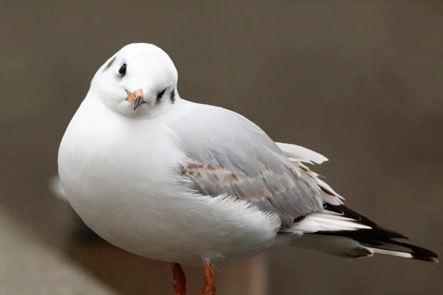
Are there rare birds there?
Can you navigate the river by boat?
Which ethnic groups live along the Motaba?
Is the area developed for tourism?
Motaba River: where is it located?
Motaba River: when is the best time to visit?
Motaba River: why is it worth visiting?

Nearby cities
Nature
More places