Plizio Visual Lab
Betou
ℹ️Practical info — Betou
▾
🌤 Weather — 5 days
📍 Nearby
Sights nearby
💡 Tips
- River transport on the Ubangi is common; check locally for boat schedules.
- Watch out for large logging trucks on the unpaved roads, as the timber industry is prominent.
- Strict malaria prophylaxis and mosquito nets are essential due to the water and forest proximity.
- The town is a melting pot of traders and refugees; show respect for the diverse backgrounds.
🍽 Food
Fresh from the Ubangi River, best enjoyed grilled.
A sweet and starchy side dish available at many street stands.
A local catfish stew popular in the traditional eateries.
🛍 Shopping · 🧘 Quiet spots
Dive into the bustling port market to see the local daily catch.
Vibrantly patterned fabrics often brought in by traders from neighboring countries.
Cross-border trade brings interesting items from CAR and DRC to the local stalls.
A peaceful spot to sit and watch the pirogues and boats travel by.
Provides a quiet and shaded retreat from the bustling town center.
Water temperature…
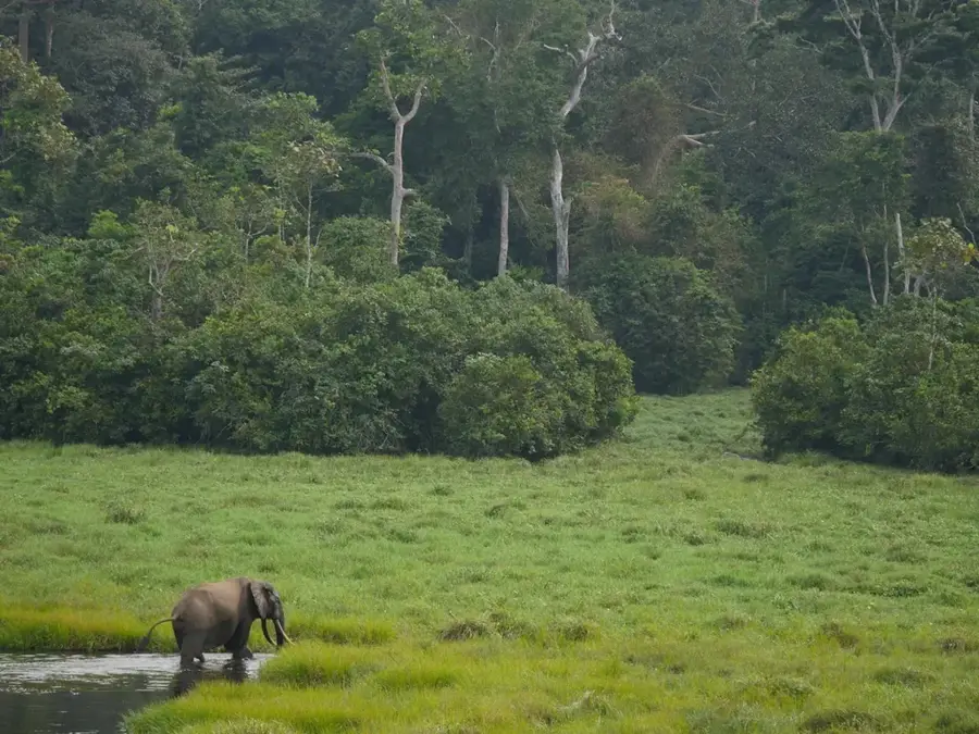
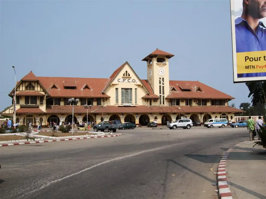
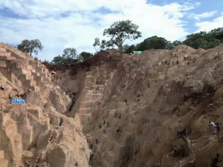
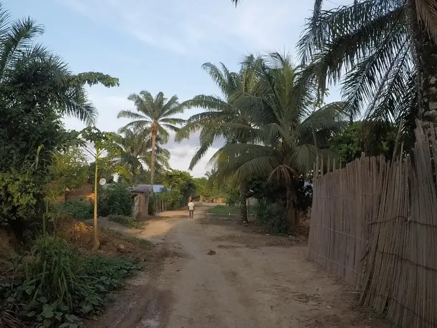
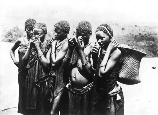
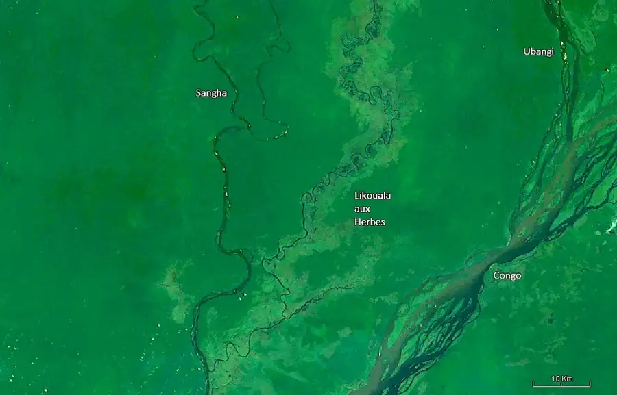
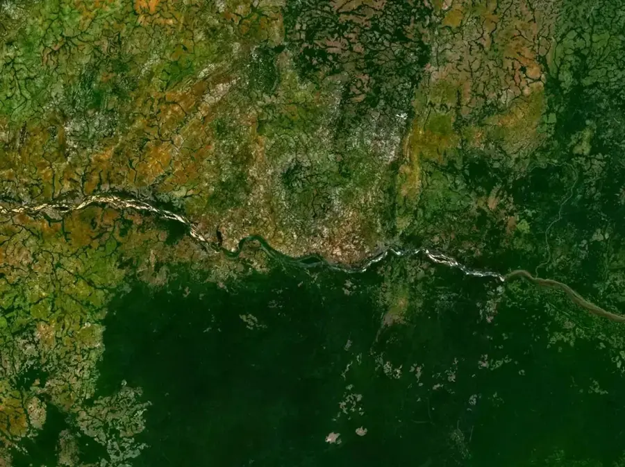
Betou is located in the Likouala Department on the right bank of the Ubangi River in the far northeast of the Republic of the Congo. The town serves as the administrative center of the Betou District and is a strategically important river port for regional trade between Bangui and Brazzaville. Due to its proximity to the Central African Republic, Betou has evolved over decades into a major sanctuary for thousands of refugees, significantly shaping its social and economic dynamics. The surrounding landscape is defined by dense tropical rainforests and vast swamplands that host rich biodiversity. Economically, the region relies heavily on the timber industry, fishing in the Ubangi River, and subsistence farming. The town's isolated location makes the river the vital artery for transporting goods and fuel to the rest of the country.
- Location: Congo - Brazzaville
- Population: ~16.221 (2023)
Best time to visit & climate
The most pleasant time to visit is Jan, Nov, Dec.
| Jan | Feb | Mar | Apr | May | Jun | Jul | Aug | Sep | Oct | Nov | Dec | |
|---|---|---|---|---|---|---|---|---|---|---|---|---|
| Avg °C | 27 | 28 | 27 | 26 | 26 | 26 | 25 | 25 | 25 | 25 | 26 | 26 |
| Rain mm | 27 | 97 | 145 | 151 | 155 | 148 | 180 | 189 | 175 | 240 | 132 | 41 |
Geography
Facts
- Betou is situated at an elevation of approximately 340 meters above sea level.
- The Ubangi River serves as the natural border with the Democratic Republic of the Congo.
- The region hosts an estimated population of over 50,000 refugees from the CAR.
- The town is primarily accessible by river, especially during the high-water season.
- Likouala Department is known as one of Africa's most pristine rainforest regions.
- Annual rainfall in Betou frequently exceeds 1,600 millimeters.
Explore nearby
Notable places around
Route planner — Car & Motorhome
Where do you start? We build the route here, with stops and country notes along the way.
© OpenStreetMap contributors · OpenRouteService
Sights in the town Betou (1)
Frequently asked questions
Where is Bétou located?
Why is Bétou known?
How is the security situation in Bétou?
Are there international organizations there?
How do you reach Bétou?
Betou: where is it located?
Betou: when is the best time to visit?
Betou: why is it worth visiting?

Nearby cities
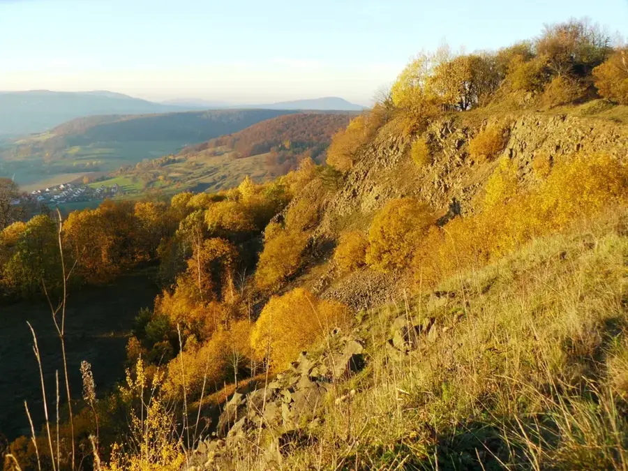
Nature

More places