Plizio Visual Lab
Liranga

ℹ️Practical info — Liranga
▾
🌤 Weather — 5 days
📍 Nearby
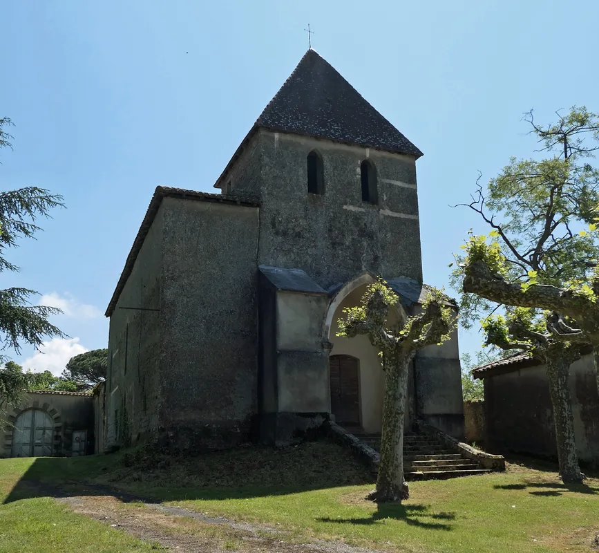
Sights nearby
💡 Tips
- River transport is the main way to get around; expect flexible schedules for local boats.
- Bring plenty of cash in small denominations as ATMs are generally unavailable.
- Always ask for permission before photographing people working by the riverbanks.
- Strong mosquito repellent is an absolute must in this humid, riverine environment.
🍽 Food
Try this steamed river fish at the simple food stalls directly by the water.
This dense, starchy staple is served with almost every local stew.
Taste the freshly tapped local palm wine from vendors in the village center.
🛍 Shopping · 🧘 Quiet spots
The best place to buy smoked fish, fresh fruits, and daily provisions.
Look out for villagers selling practical, hand-woven goods.
Watch the traditional wooden pirogues glide silently across the Congo River.
Take a stroll to the edge of the settlement to enjoy the shade of large tropical trees.
Water temperature…
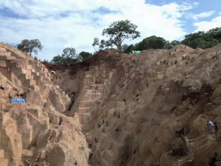
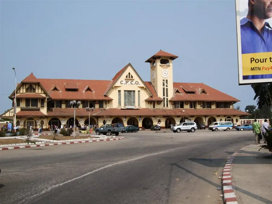
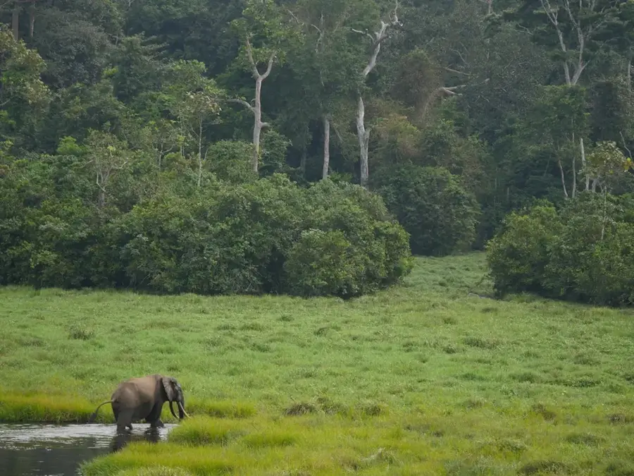
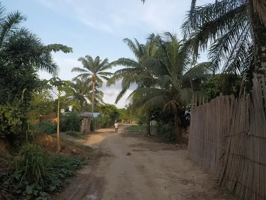
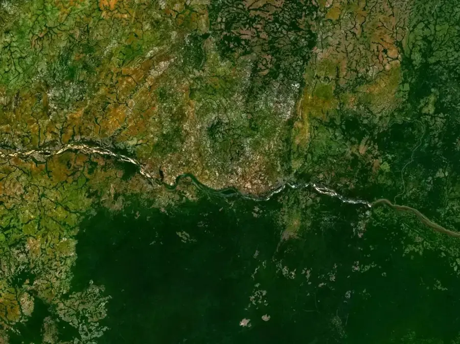
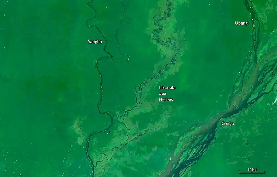
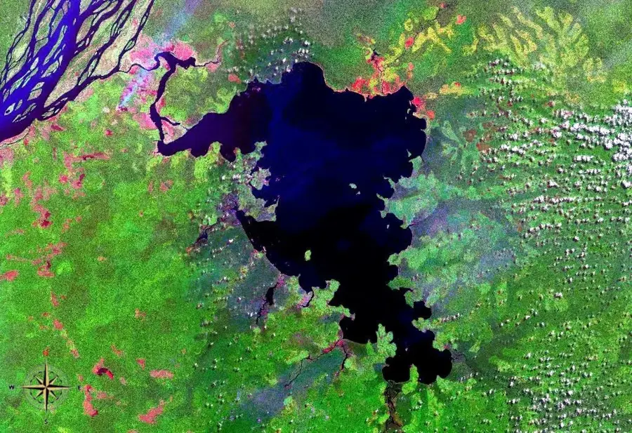
Liranga is situated in the southern part of the Likouala Department at a strategically prominent location near the confluence of the Ubangi and Congo rivers. The settlement holds long-standing historical significance as a mission station and trading post dating back to the late 19th-century colonial era. Its geographic setting within the vast swamp forests of the Congo Basin dictates daily life, as transportation is almost entirely waterborne. Liranga acts as a critical waypoint for large river vessels traveling between Brazzaville and the northern reaches of the country. The local economy is driven by fishing, cassava production, and the harvesting of forest products. Due to its remote location and dense canopy, the region is ecologically precious, providing a habitat for numerous rare species, including primates and forest elephants.
Best time to visit & climate
The most pleasant time to visit is Jan, Jul, Aug.
| Jan | Feb | Mar | Apr | May | Jun | Jul | Aug | Sep | Oct | Nov | Dec | |
|---|---|---|---|---|---|---|---|---|---|---|---|---|
| Avg °C | 27 | 27 | 27 | 26 | 27 | 26 | 27 | 26 | 26 | 26 | 26 | 26 |
| Rain mm | 96 | 136 | 171 | 161 | 169 | 130 | 104 | 123 | 182 | 189 | 192 | 142 |
Geography
Facts
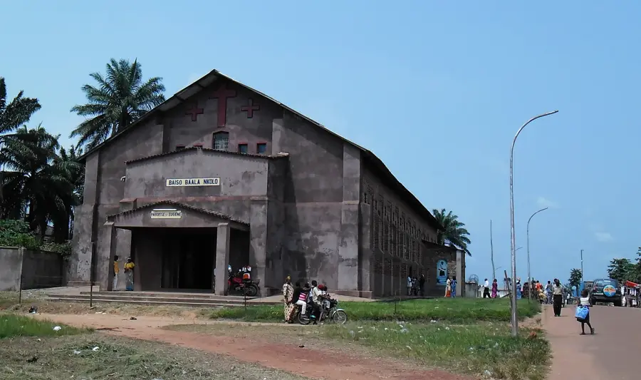
- Liranga was founded in 1888 as a Catholic mission by the Spiritans.
- The settlement is positioned on the western bank of the Congo River.
- The region is part of the 'Grands Affluents' RAMSAR wetland site of international importance.
- The Congo River's water level here fluctuates seasonally by several meters.
- Liranga is located within one of the largest contiguous wetland systems on Earth.
- The town is situated approximately 400 kilometers northeast of Brazzaville.
Explore nearby
Notable places around
Route planner — Car & Motorhome
Where do you start? We build the route here, with stops and country notes along the way.
© OpenStreetMap contributors · OpenRouteService
Frequently asked questions
What is Liranga?
What makes the place special?
Can you stay overnight there?
How is the supply situation?
Are there nature experiences there?
Liranga: where is it located?
Liranga: when is the best time to visit?
Liranga: why is it worth visiting?

Nearby cities
Nature


More places