Plizio Visual Lab
Sibiti
ℹ️Practical info — Sibiti
▾
🌤 Weather — 5 days
📍 Nearby
Sights nearby
💡 Tips
- A 4x4 vehicle is highly recommended due to the hilly and forested terrain around the town.
- Cash is king; ATMs are rare or unreliable, so bring enough CFA francs from Brazzaville.
- Visit the central market early in the morning for the freshest produce and lively atmosphere.
- Always ask for permission before photographing local residents or traditional ceremonies.
🍽 Food
A traditional dish made from cassava leaves. Try it at small, family-run maquis near the center.
Freshwater fish steamed in leaves. Best found in simple eateries around the market area.
Often sold fresh at the market or on the outskirts of town by local vendors.
🛍 Shopping · 🧘 Quiet spots
Pure honey from the Lékoumou region, which you can find at small stalls in the main market.
Traditional crafts from surrounding villages, often sold directly by the artisans in the center.
Take a walk on the edge of town where the dense, green forest landscape begins.
The elevated areas around Sibiti offer a quiet view over the pretty, green valley.
Water temperature…
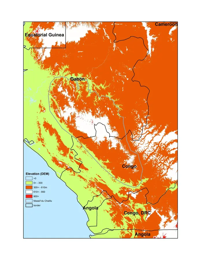
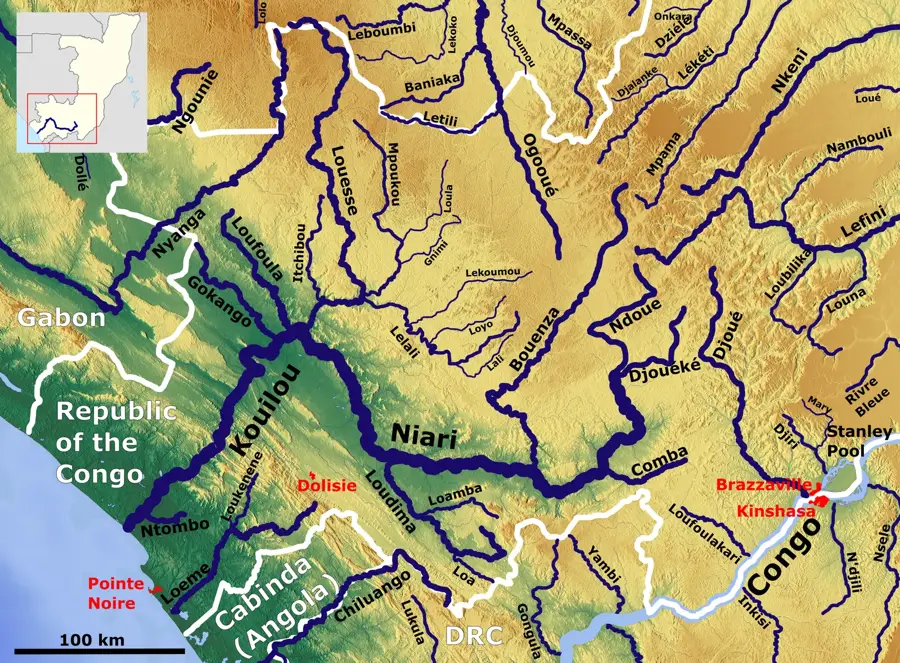
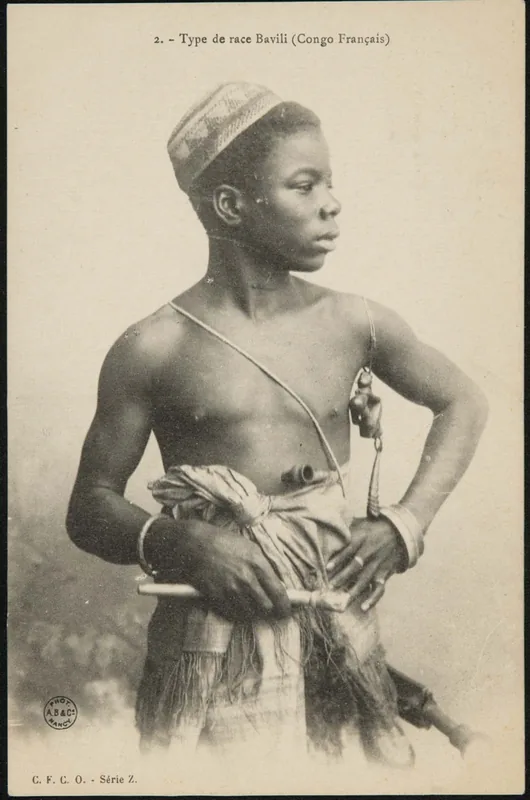
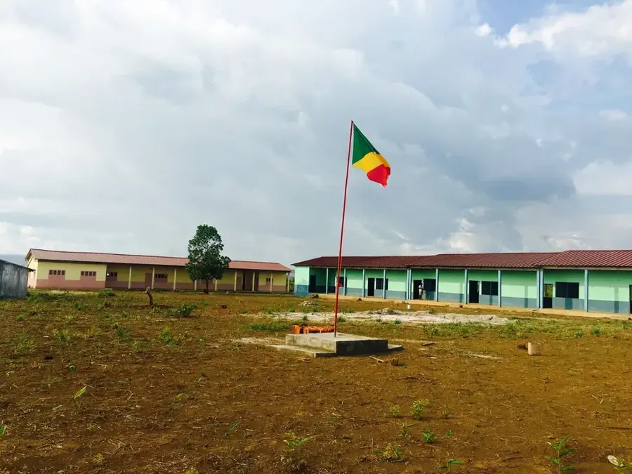
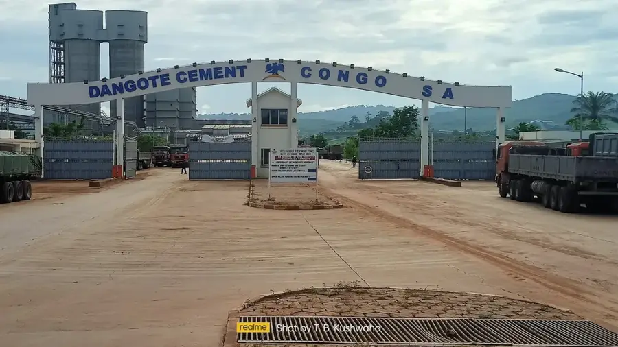
Sibiti is the administrative capital of the Lékoumou Department, located in the southwestern region of the Republic of the Congo. The city is positioned in a forested transition zone between the Mayombe Massif and the Batéké Plateau, making it a significant hub for forestry and timber exports. Beyond the timber industry, agriculture is a cornerstone of the local economy, with cassava, peanuts, and various fruits being the primary crops. The town is connected by road to the port city of Pointe-Noire and the national capital, Brazzaville, and is served by a regional airport for passenger transit. Sibiti houses several educational institutions and administrative offices that cater to the rural population of the department. Despite its relative isolation, the city has evolved into a vital trade center for regional agricultural products. The local cultural identity is deeply influenced by the traditions of the ethnic groups residing in harmony with the surrounding rainforest environment.
- Location: Congo - Brazzaville
- Nearby: Kayes (33 km)
- Population: ~33.122 (2026)
Best time to visit & climate
The most pleasant time to visit is Jun–Aug.
| Jan | Feb | Mar | Apr | May | Jun | Jul | Aug | Sep | Oct | Nov | Dec | |
|---|---|---|---|---|---|---|---|---|---|---|---|---|
| Avg °C | 24 | 25 | 25 | 25 | 25 | 24 | 23 | 24 | 25 | 25 | 24 | 24 |
| Rain mm | 171 | 161 | 216 | 195 | 143 | 13 | 3 | 9 | 48 | 182 | 290 | 239 |
Geography
Facts
- Capital city of the Lékoumou Department in the Republic of the Congo.
- Situated at an elevation of approximately 440 meters above sea level.
- Major center for the regional timber and forestry industry.
- Served by Sibiti Airport, identified by the IATA code SIB.
- Located roughly 310 kilometers west of the capital, Brazzaville.
- The city serves as a key regional market for cassava and peanuts.
Explore nearby
Notable places around
Route planner — Car & Motorhome
Where do you start? We build the route here, with stops and country notes along the way.
© OpenStreetMap contributors · OpenRouteService
Sights in the town Sibiti (1)
Frequently asked questions
What is special about Sibiti?
How is the road connection?
Are there markets in Sibiti?
What does the city live on?
Are there simple guesthouses?
Sibiti: where is it located?
Sibiti: when is the best time to visit?
Sibiti: why is it worth visiting?

Nearby cities

Nature
More places