Plizio Visual Lab
Mabombo

ℹ️Practical info — Mabombo
▾
🌤 Weather — 5 days
📍 Nearby
Sights nearby
💡 Tips
- Visit the agricultural markets early in the morning for the freshest produce from the Bouenza region.
- Be prepared for unpaved roads off the main routes; travel can be slow during the rainy season.
- Cash is essential; ensure you carry small bills for local purchases.
- A respectful greeting in French or Kituba is highly appreciated by the locals.
🍽 Food
Try this local staple at small street stalls near the center.
Often found at informal eateries along the main road.
Buy mangoes or bananas directly from the farmers at the local market.
🛍 Shopping · 🧘 Quiet spots
The best place for regional agricultural produce and everyday goods.
Look for colorful local fabrics in the small shops around the center.
A quiet spot to observe the afternoon daily life.
Convenient for a relaxing walk through the surrounding agricultural landscape.
Water temperature…
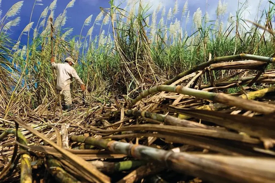
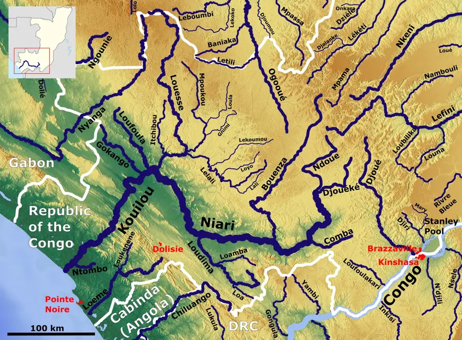
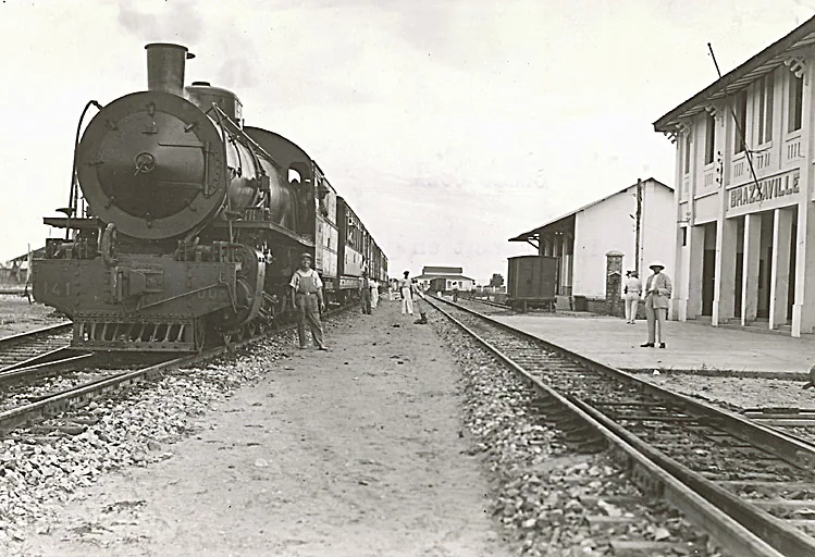
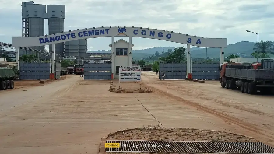
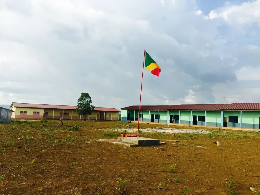
Mabombo is located in the Bouenza Department of southern Republic of the Congo, in close proximity to the vital transport axis between Brazzaville and the coast. The town is an emerging settlement center that benefits from the fertile alluvial plain of the Niari River. Agricultural production, particularly the cultivation of tobacco, cassava, and various fruits, forms the backbone of the local economy. Mabombo serves as a significant transit point for goods transported along the nearby N1 national highway. In recent years, the region has gained economic importance through investments in the industrial processing of raw materials. Culturally, Mabombo is characterized by a mix of various ethnic groups who have migrated there due to its economic prospects. The social infrastructure, including schools and small health clinics, has been gradually expanded to accommodate the growing population.
- Location: Congo - Brazzaville
- Nearby: Madingou (14 km)
- Population: ~1.955 (2023)
Best time to visit & climate
The most pleasant time to visit is Jun–Aug.
| Jan | Feb | Mar | Apr | May | Jun | Jul | Aug | Sep | Oct | Nov | Dec | |
|---|---|---|---|---|---|---|---|---|---|---|---|---|
| Avg °C | 25 | 25 | 25 | 25 | 25 | 24 | 24 | 25 | 26 | 26 | 25 | 25 |
| Rain mm | 170 | 162 | 205 | 192 | 137 | 11 | 2 | 6 | 39 | 168 | 280 | 236 |
Geography
Facts
- Mabombo is situated approximately 15 kilometers west of the regional capital, Madingou.
- The region is one of the primary tobacco-growing areas in the Congo.
- The town experienced a growth spurt following the paving of the N1 national highway.
- The nearby Niari River is a major source for irrigation and fishing.
- The terrain is largely flat, with an average elevation of 160 meters.
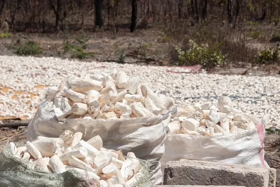
- There is a growing number of small-scale brick-making enterprises in Mabombo.
Explore nearby
Notable places around
Route planner — Car & Motorhome
Where do you start? We build the route here, with stops and country notes along the way.
© OpenStreetMap contributors · OpenRouteService
Frequently asked questions
What is Mabombo?
How do people live in Mabombo?
What can a tourist discover there?
Are there medical stations there?
When should you visit Mabombo?
Mabombo: where is it located?
Mabombo: when is the best time to visit?
Mabombo: why is it worth visiting?

Nearby cities

More places